Archive | Uncategorized RSS feed for this section

Death Valley Adventure February 2018

26 Feb

Following is the chronicle of our family’s annual pilgrimage to Death Valley during the Douglas County High School Presidents’ Day/Week break. This annual gathering began several years ago when Carson City firemen and other firefighters would gather there for a week long rite of golf, hiking, horseshoes, and other activities that would fit the Death Valley location.

Jerri and Allan drove their motor home to DV on Valentine’s Day and I followed a day later due to obligations at the Nevada State Museum. Many don’t like the long drive through what seems to be desolate desert, but I rather enjoy it. Granted, the sagebrush views don’t vary much but, there is always a chance of seeing wild burros, wild horses, bighorn sheep, deer and large birds of prey.  Don’t forget to click on the images if you wish to see more detail.

I always get a thrill when I see this huge flag flying in Hawthorne near the Hawthorne Army Depot.
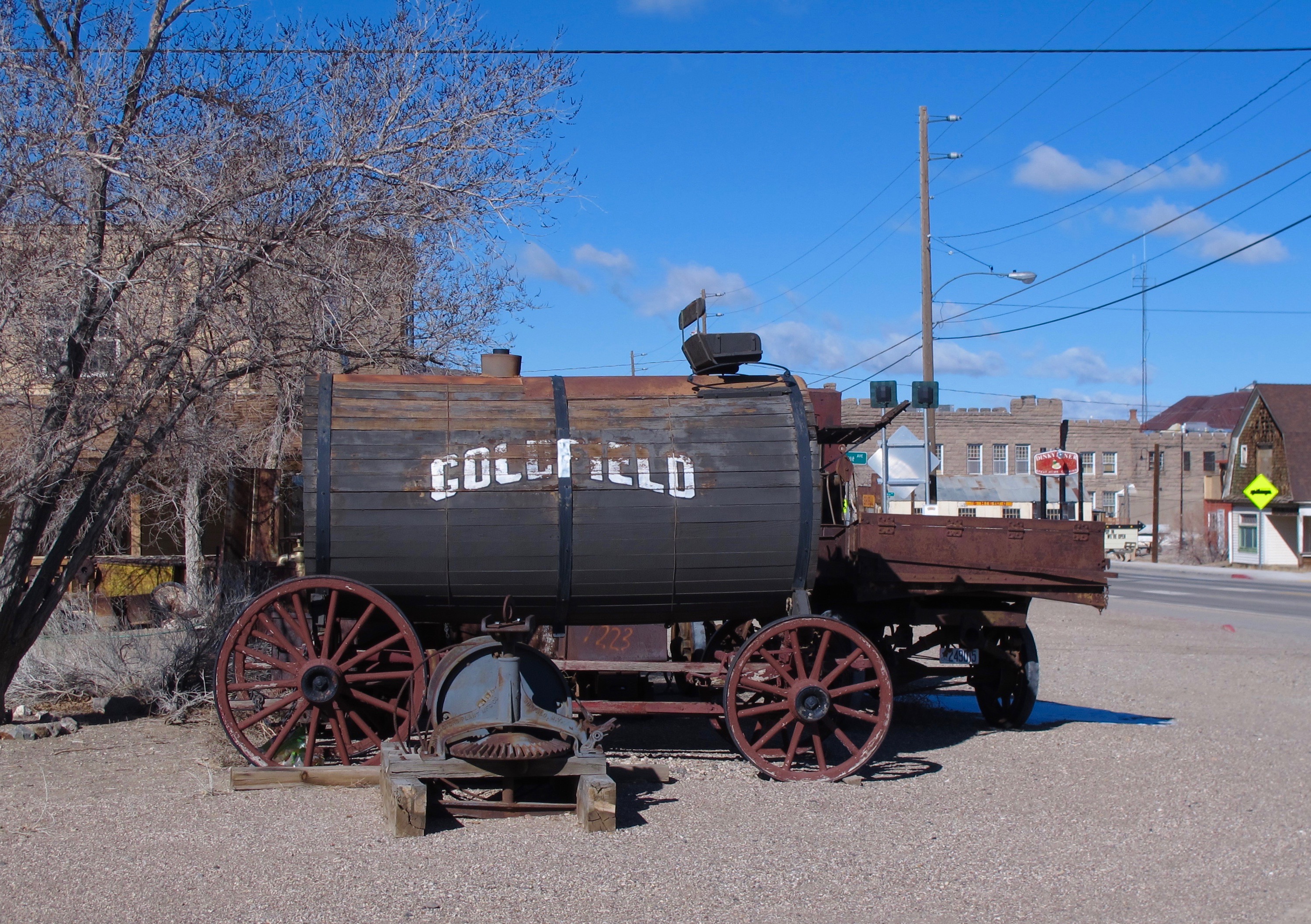
The next stop was Goldfield, NV, a tiny town (pop. Less than 300) with a rich mining history in the early 1900s when the population was more than 20,000.

The Equipment Display is beside the local library that was the elementary school in 1908 and morphed into other uses throughout the years.

WWII practice bombs recovered outside Goldfield and Tonopah.
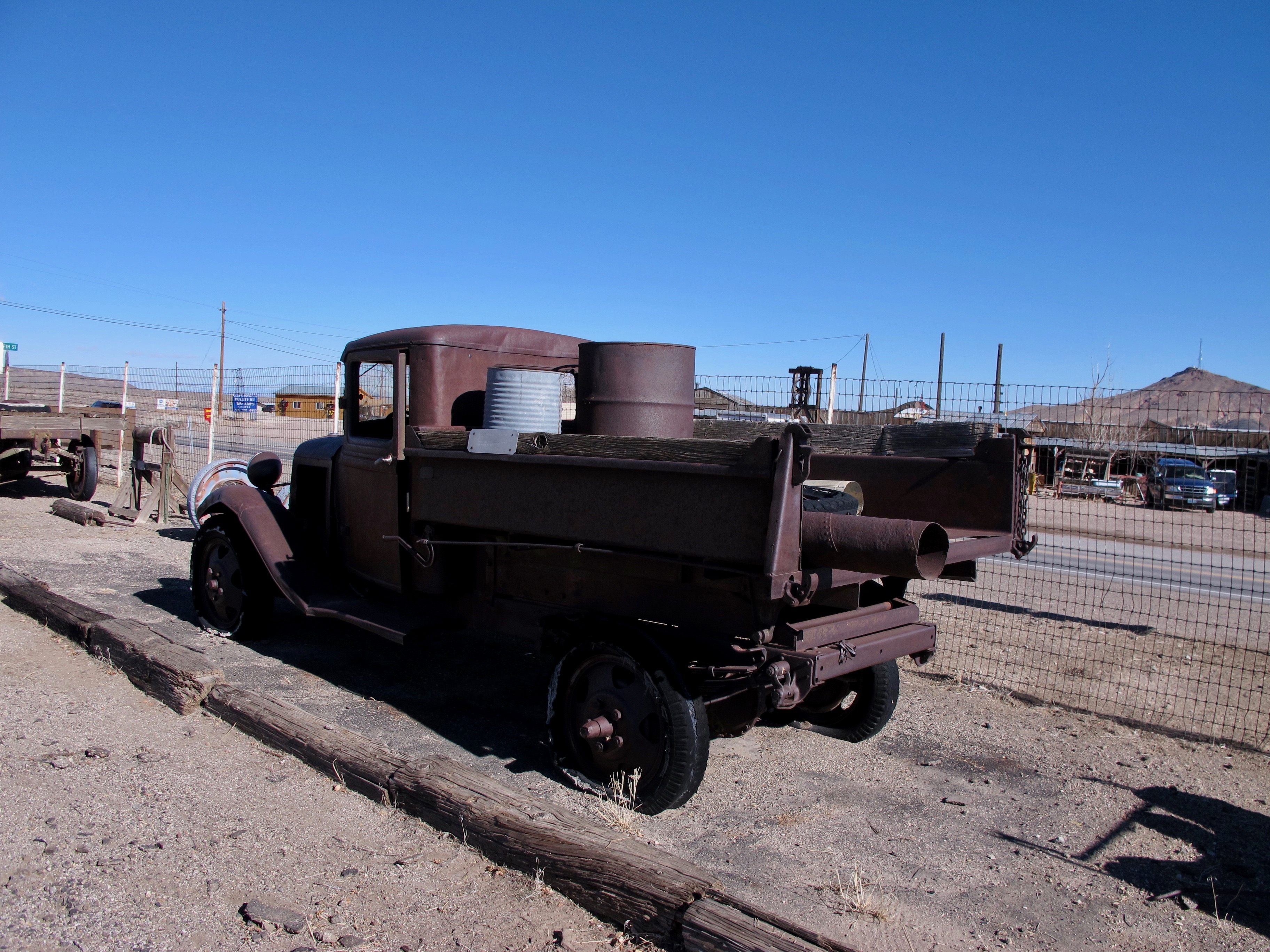
A mid-1930s highway maintenance truck that was still used 30 years later. Nevada likes to get its money’s worth.
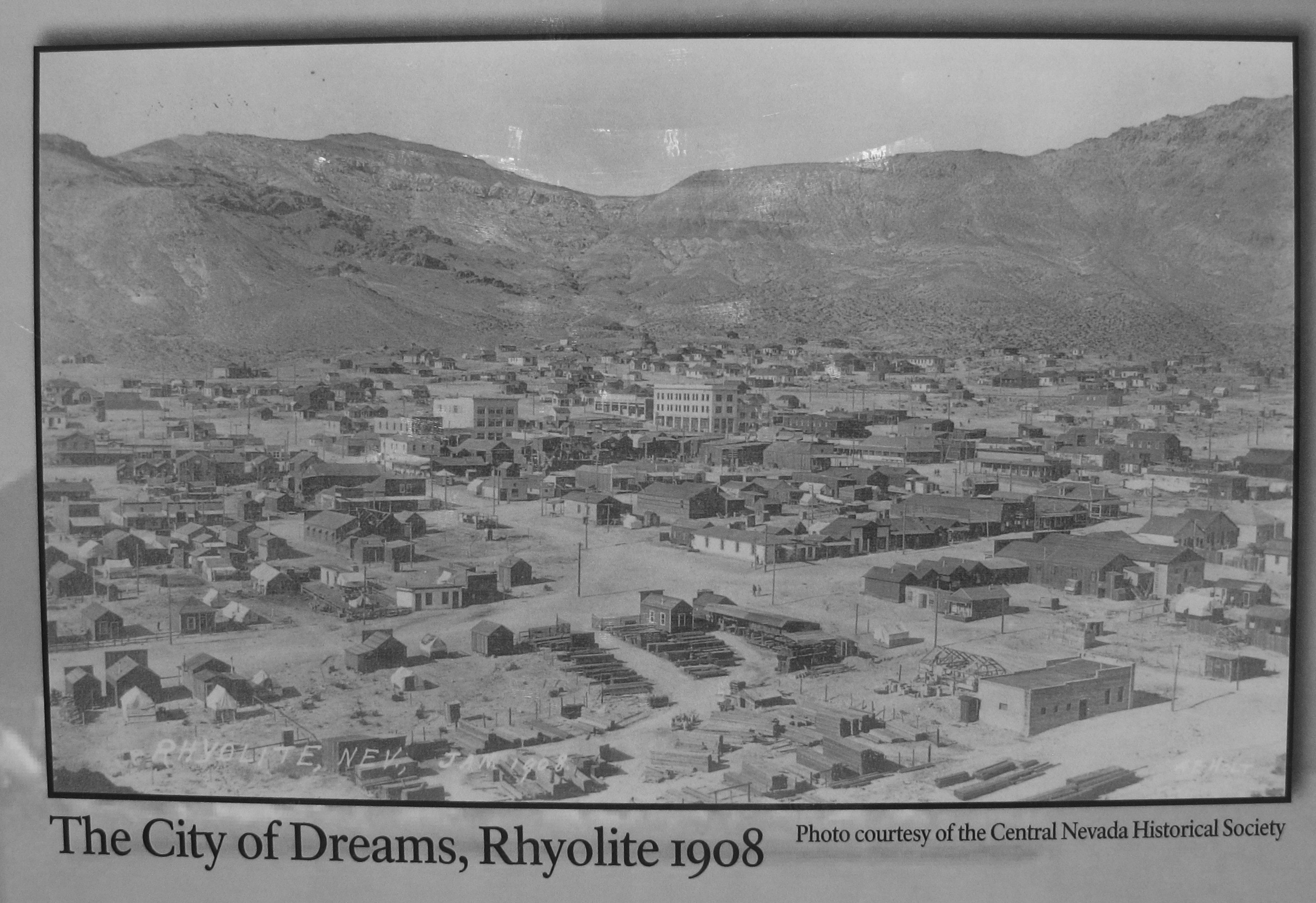
A few miles before dropping into Death Valley proper, I visited Rhyolite, NV, another rich mining town during the early 1900s.
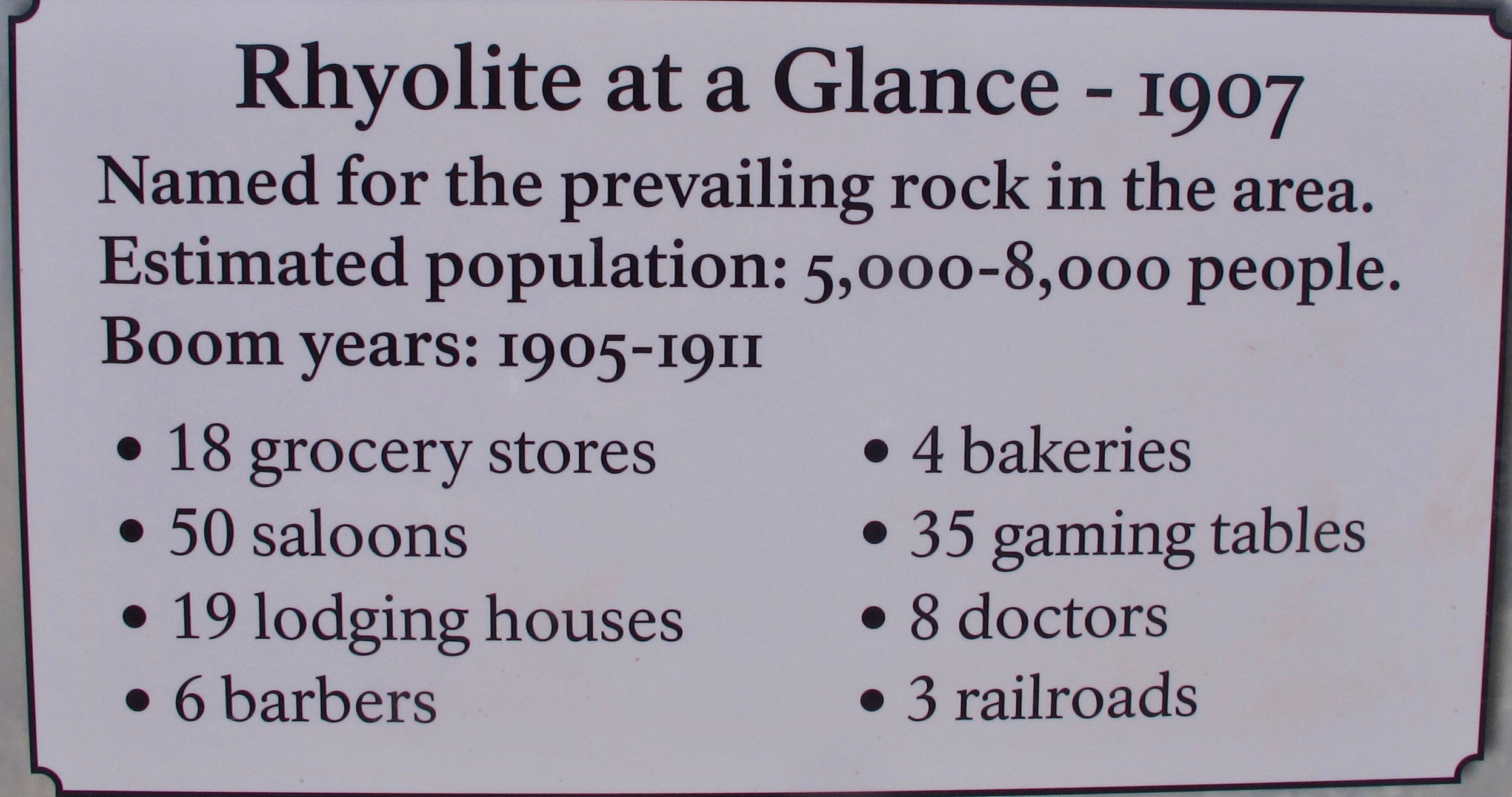
It was a booming place and some buildings had electricity and indoor plumbing.  Quite modern for 1908.

A three room bottle house that was built in 1906 and was raffled off. The house served as a residence for the winning family for many years.


Rhyolite today…school building, Overbury Building (bank and business), depot in background
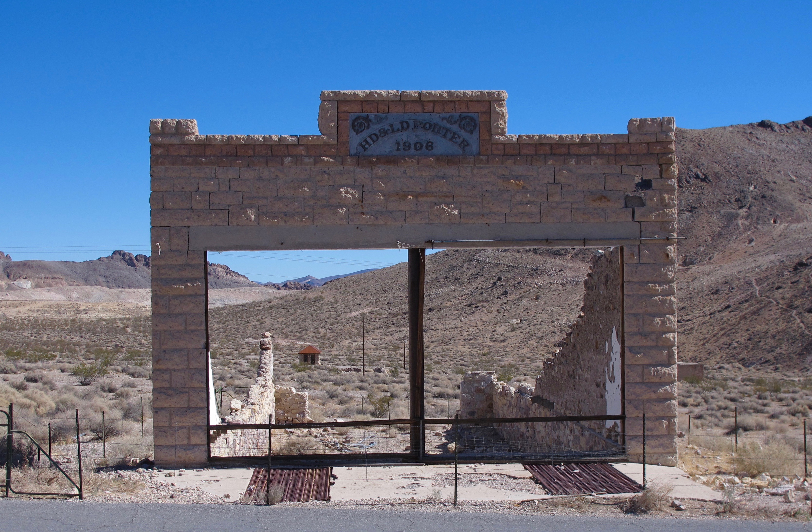
Rhyolite Emporium – the Porter Brothers’ store ruins with a two-room cabin in the distance (thought to have been a brothel, though it was originally built as a residence)
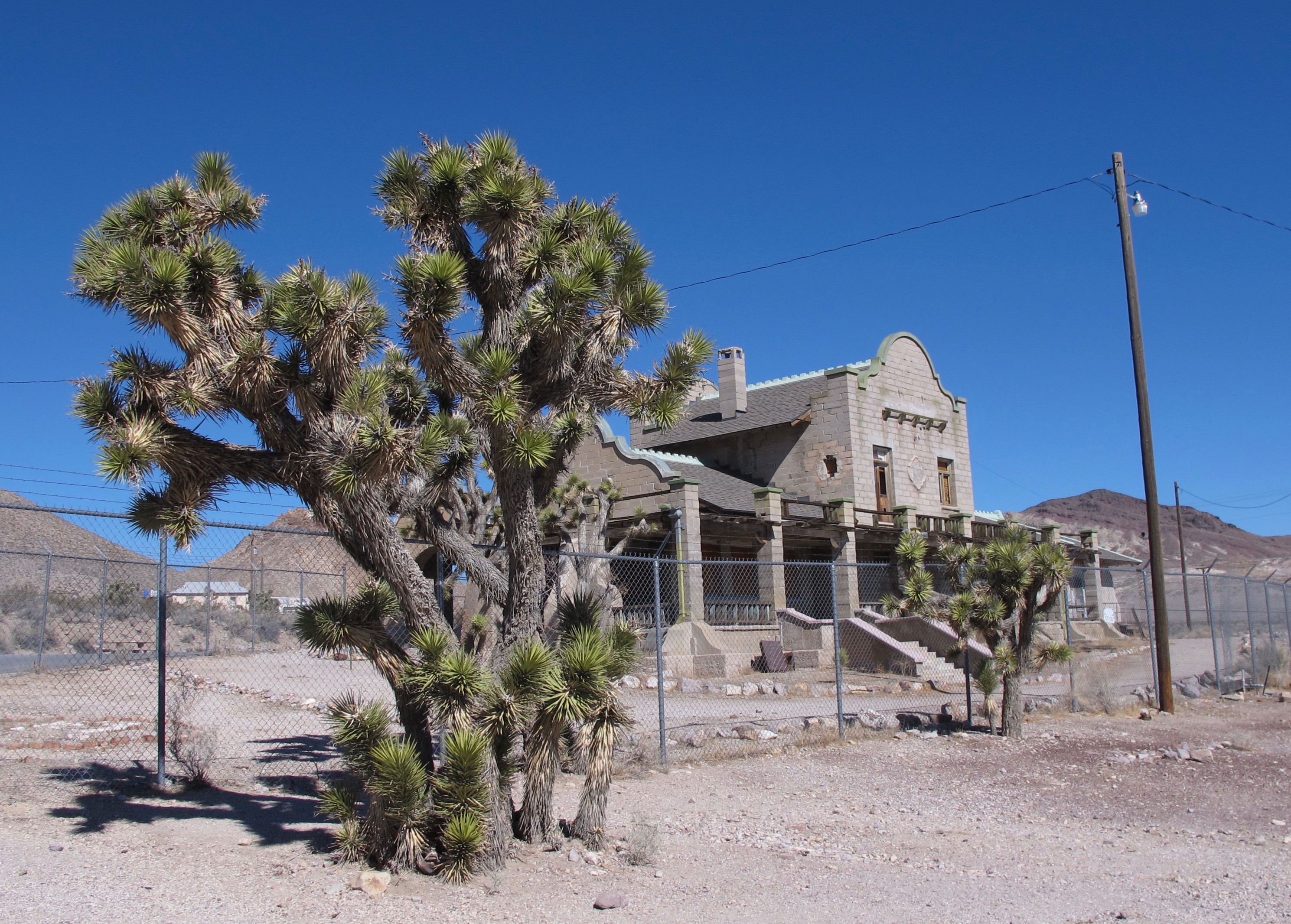
Las Vegas and Tonopah Depot
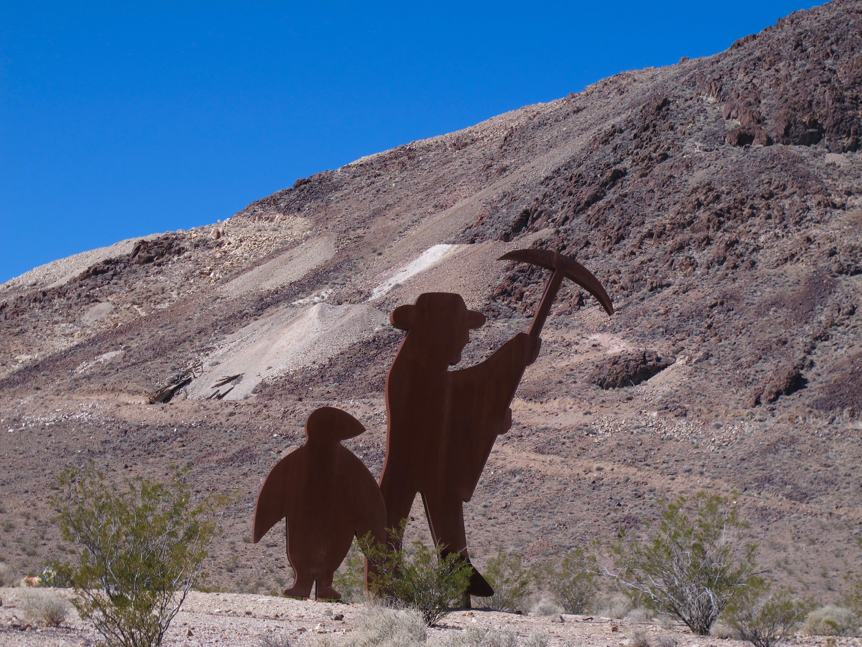
The town symbol was a penguin. It represented the enigma of gold mining. “As much chance of finding gold in the desert as finding a penguin.” (BLM pamphlet) Mining tailings can be seen in the background.

Someone has built a small museum along with some strange sculptures outside of the actual townsite.  See https://www.roadsideamerica.com/story/12538 for more info on this and the pink lady Lego sculpture.

I wanted to walk around this area more but the wind was so darned cold and biting that I left in hopes to find warmer weather in DV.


The boys (Buddy and Max) needed to be walked shortly after I arrived. Jerri and Allan’s motor home is directly behind Jerri.
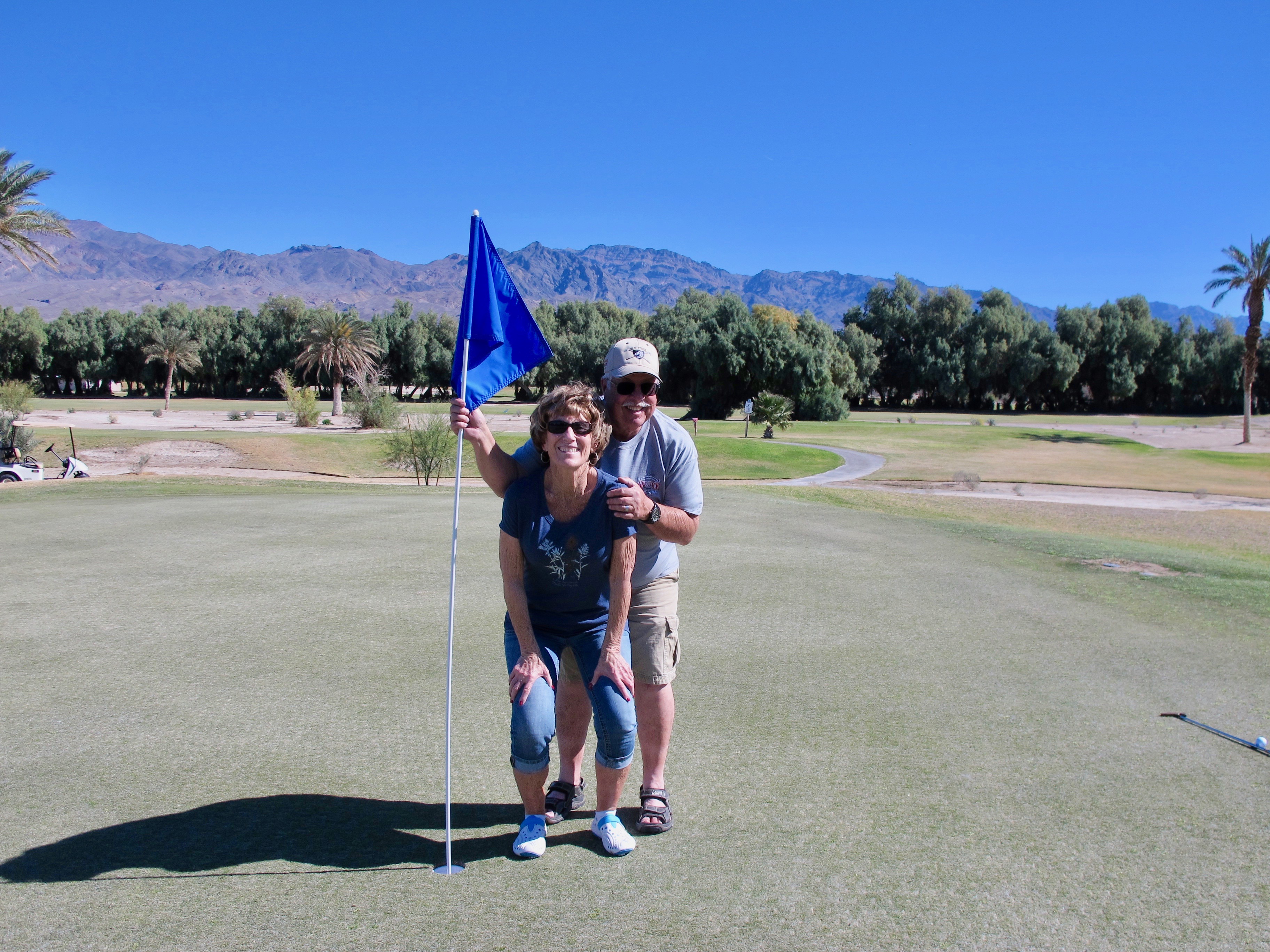

Jerri, Allan and I played nine holes of golf the next morning. It was fun and the weather was perfect!
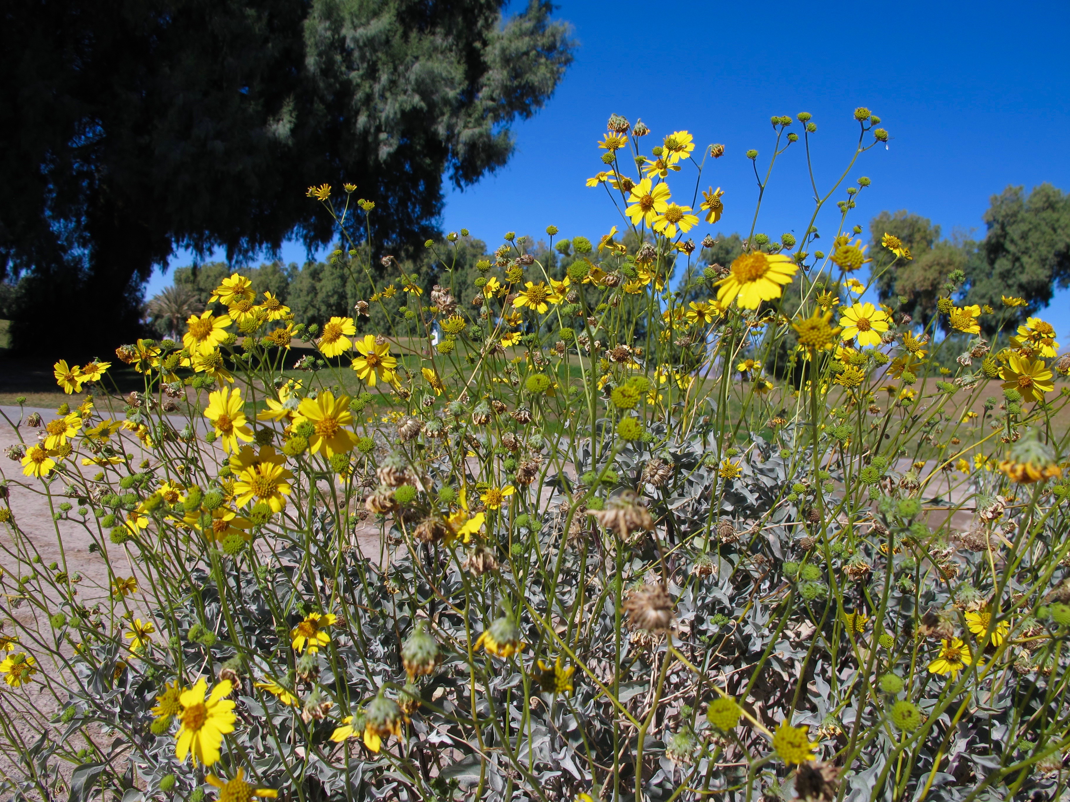
Panamint daisies were the only flowers in bloom. I suspect the wildflowers will not be as profuse as last year due to little to no rain in DV.

This is a view from Artist’s Palette looking toward Badwater. I like it but don’t know how Jerri got it in her camera. She doesn’t either.
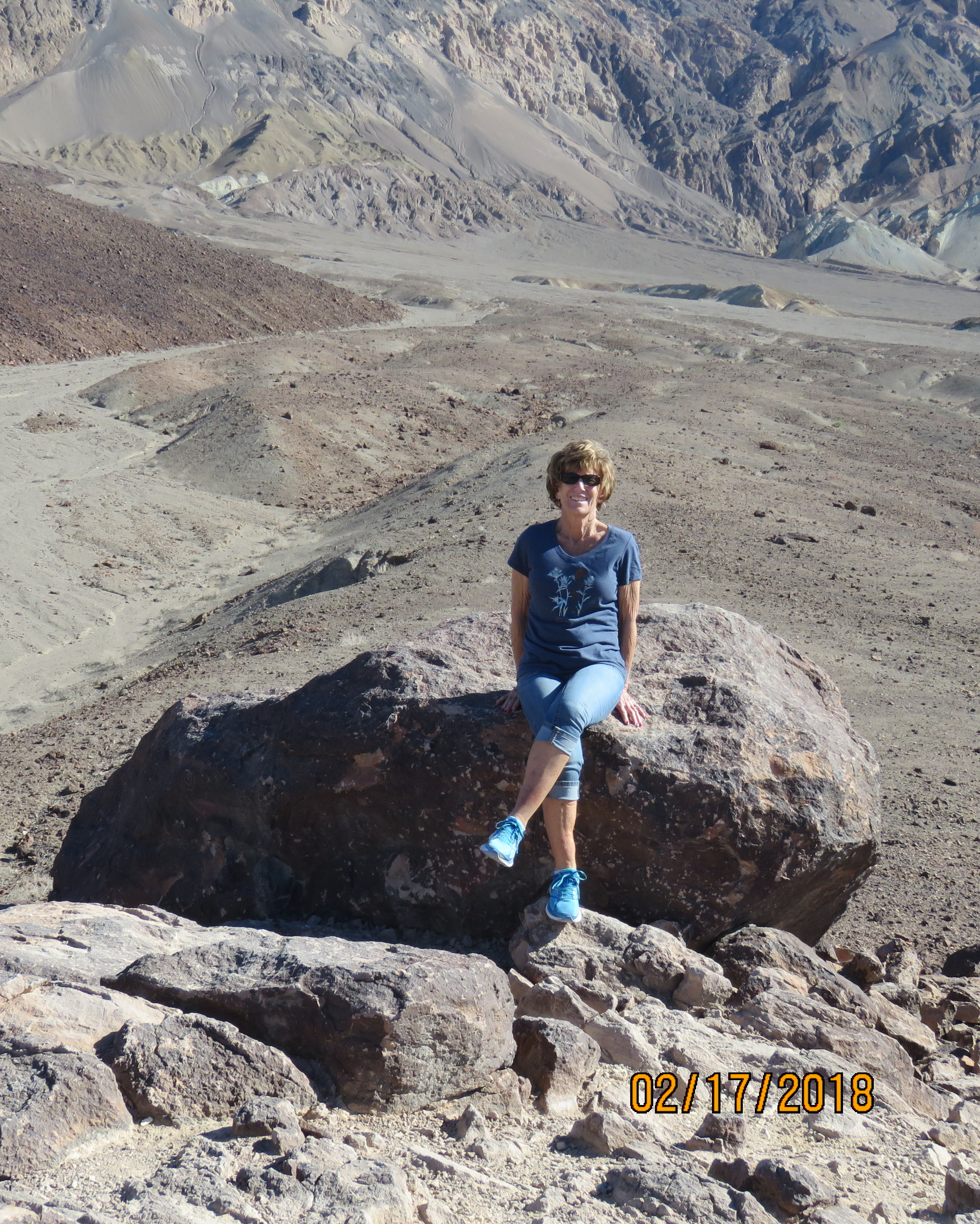
This is what the colors really were.
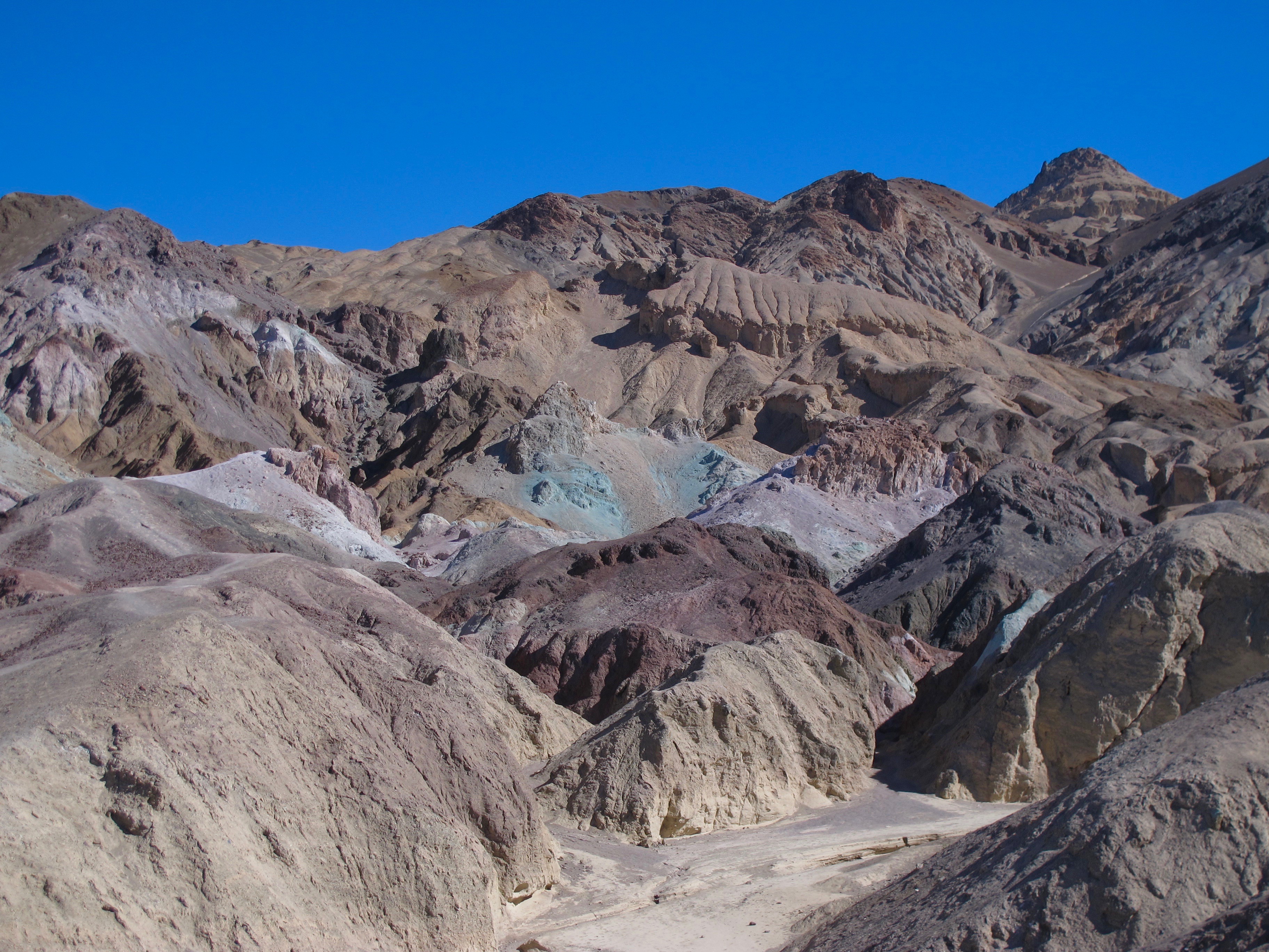
The road through Artist’s Palette displays many colors creating a vast array of raw elements and minerals. Some of these are iron, aluminum, magnesium, titanium, red hematite and green chlorite.

The Warm Spring-fed Pool where we sunned a bit and took showers in the pool house. I love this pool because it’s always warm (except when there is a wind) and the water is changed daily, thus not requiring chlorine (or at least as much as a normal public pool uses)  The water leaving the pool is used to water the golf course.
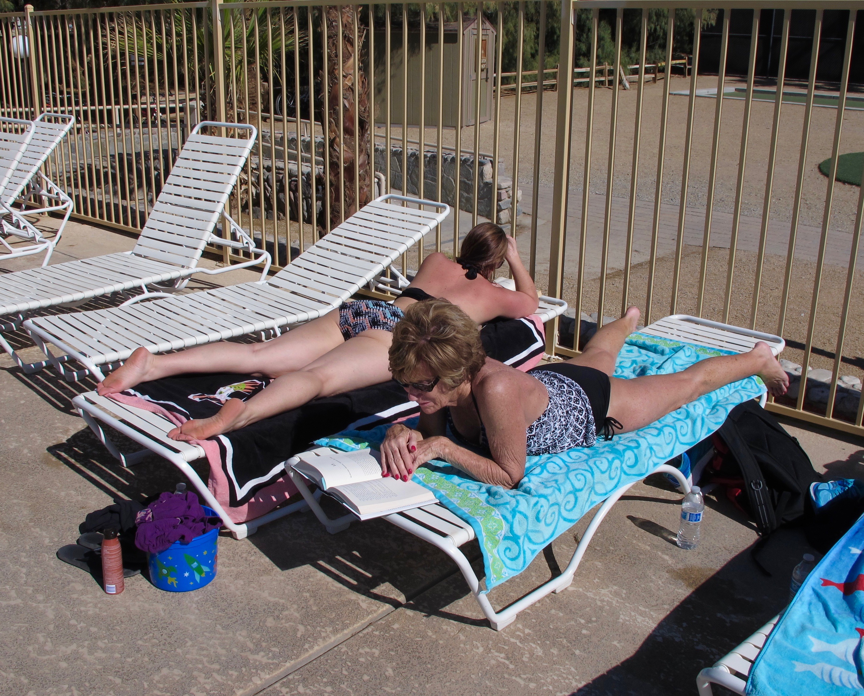
Catching up on reading
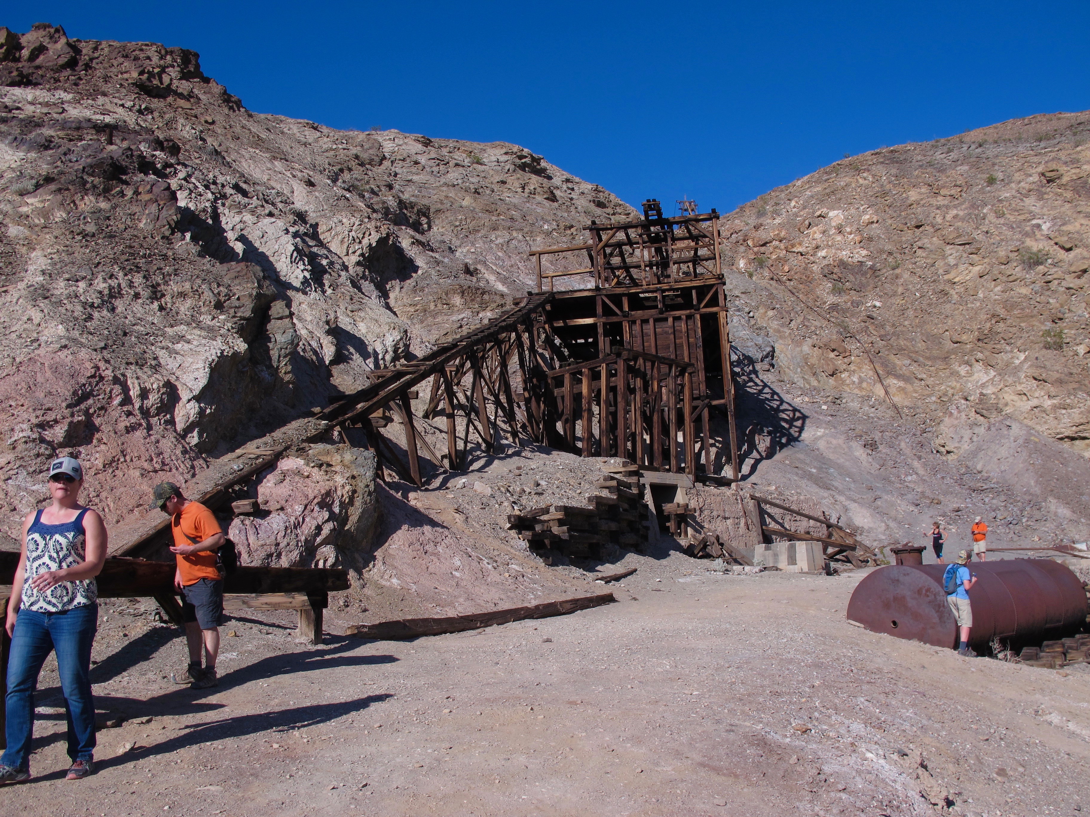
Jerri, Allan and I visited the Keane Wonder Mine that is just off the road to Beatty, NV, but still in CA. Over a million dollars of gold were produced from 1904 to 1917.


The Keane Mine had a mile long tram to haul ore to a 20-stamp processing mill.

Then ore was then transported to Rhyolite, more than 20 miles away. This is a view of the three mile long dirt road from the mine to the highway. The dust clouds you see are cars on the dirt road.

A piece of quartz from some tailings. Allan told me gold is generally found with quartz.
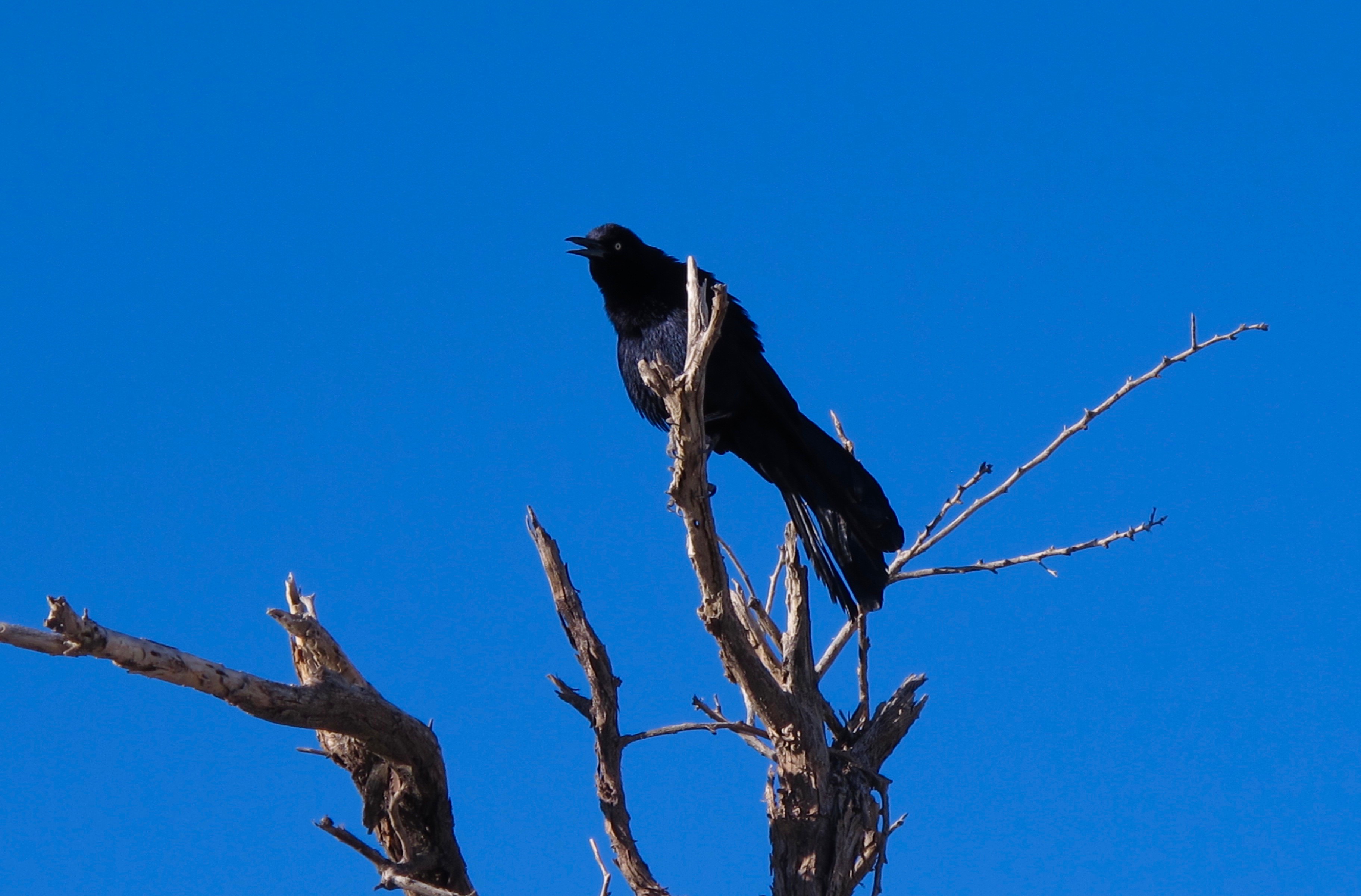
A grackle liked to perch in the tree near our campsite.
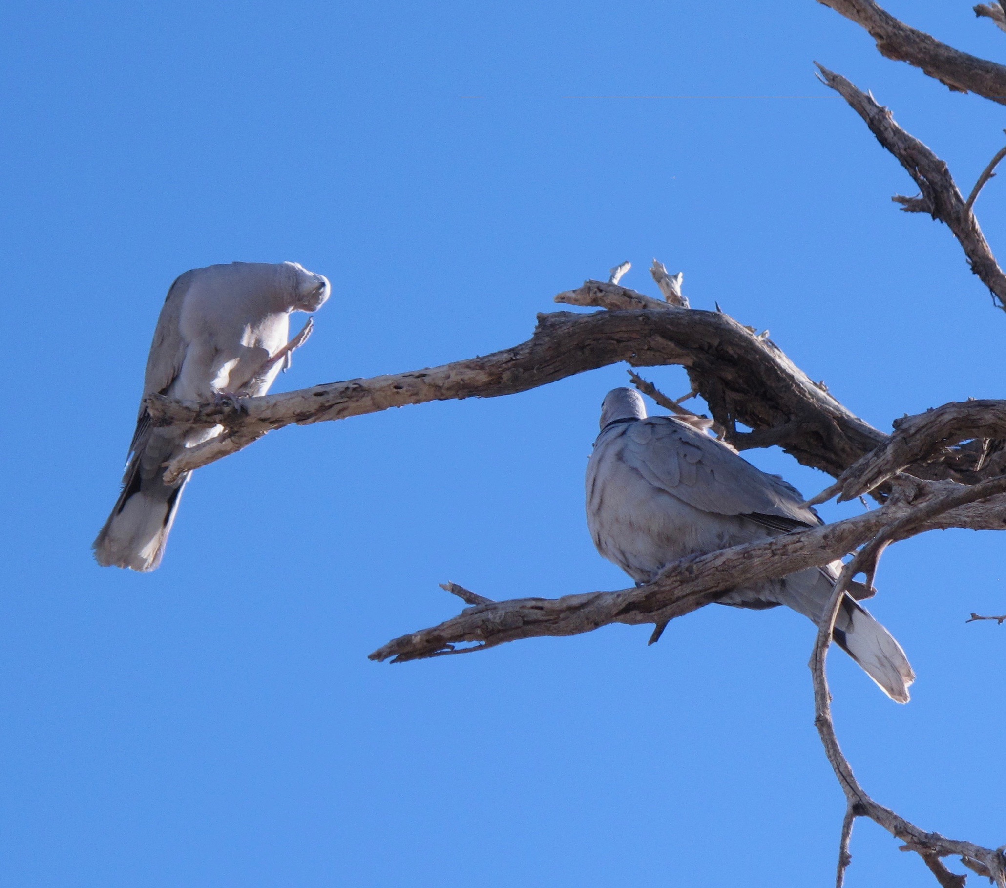
A pair of doves in the same tree. The one on the left was taking care of an itch.
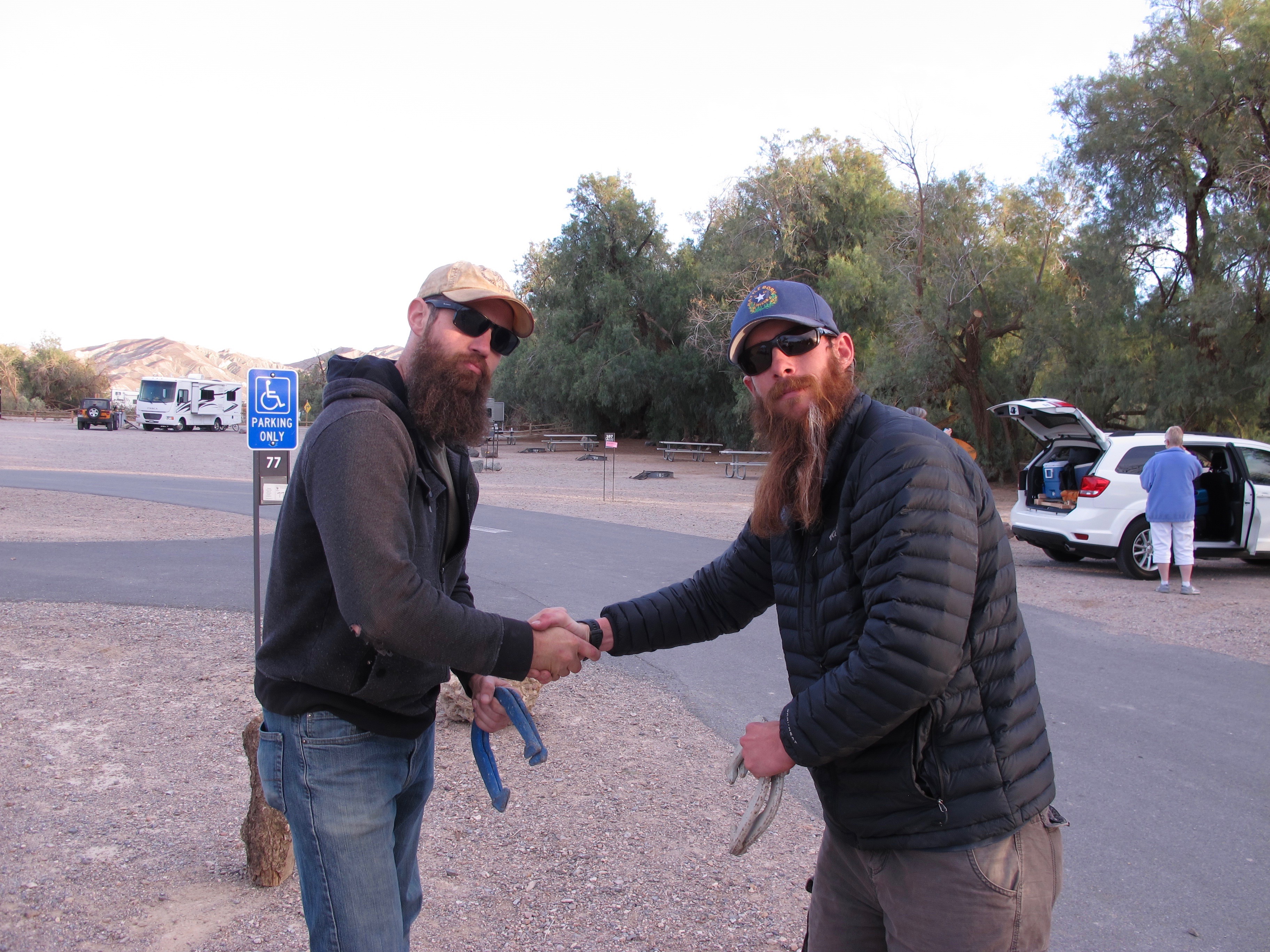
Jason and Scott get ready for a game of horseshoes. They weren’t always this gentlemanly 🙂
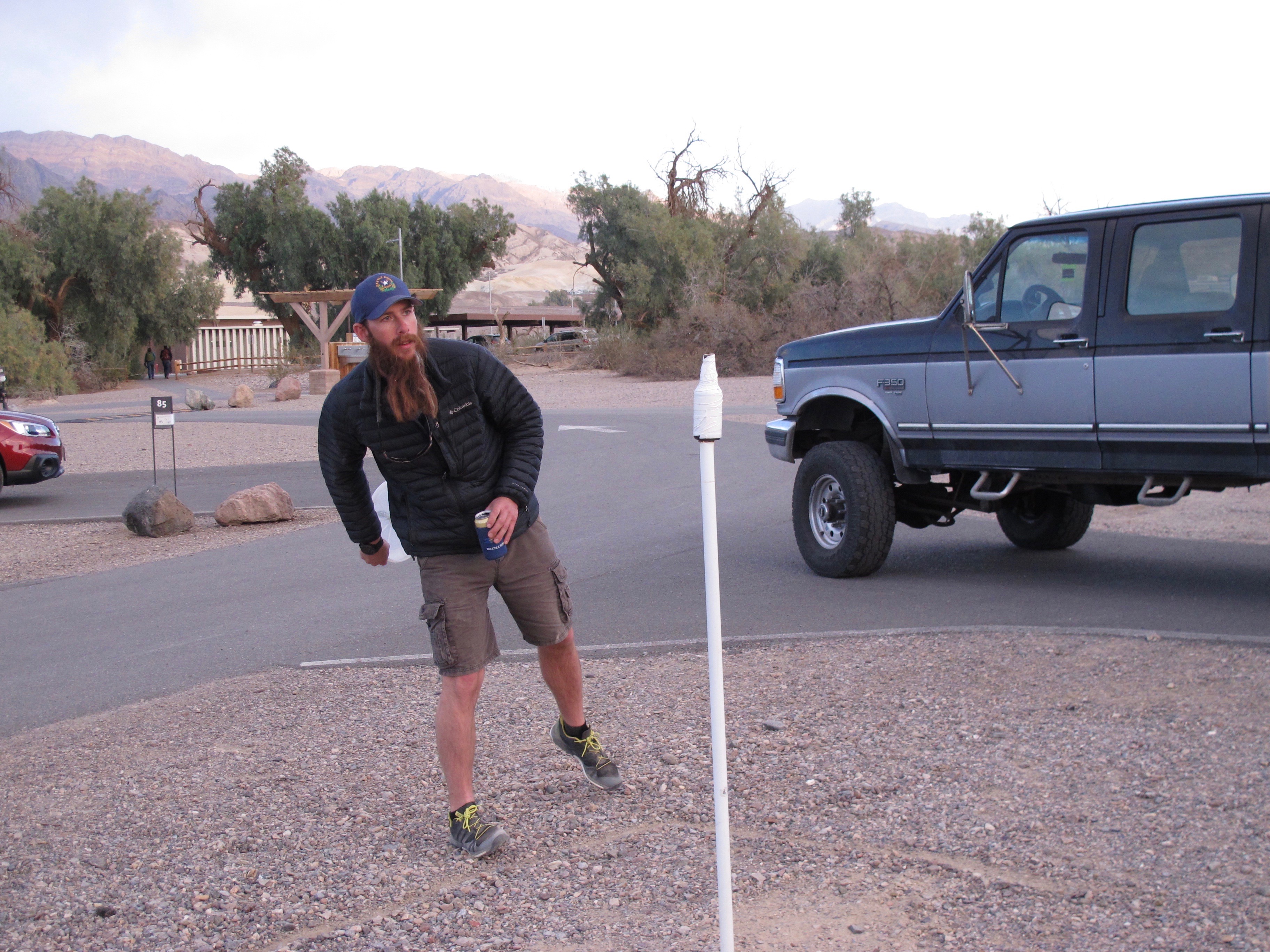
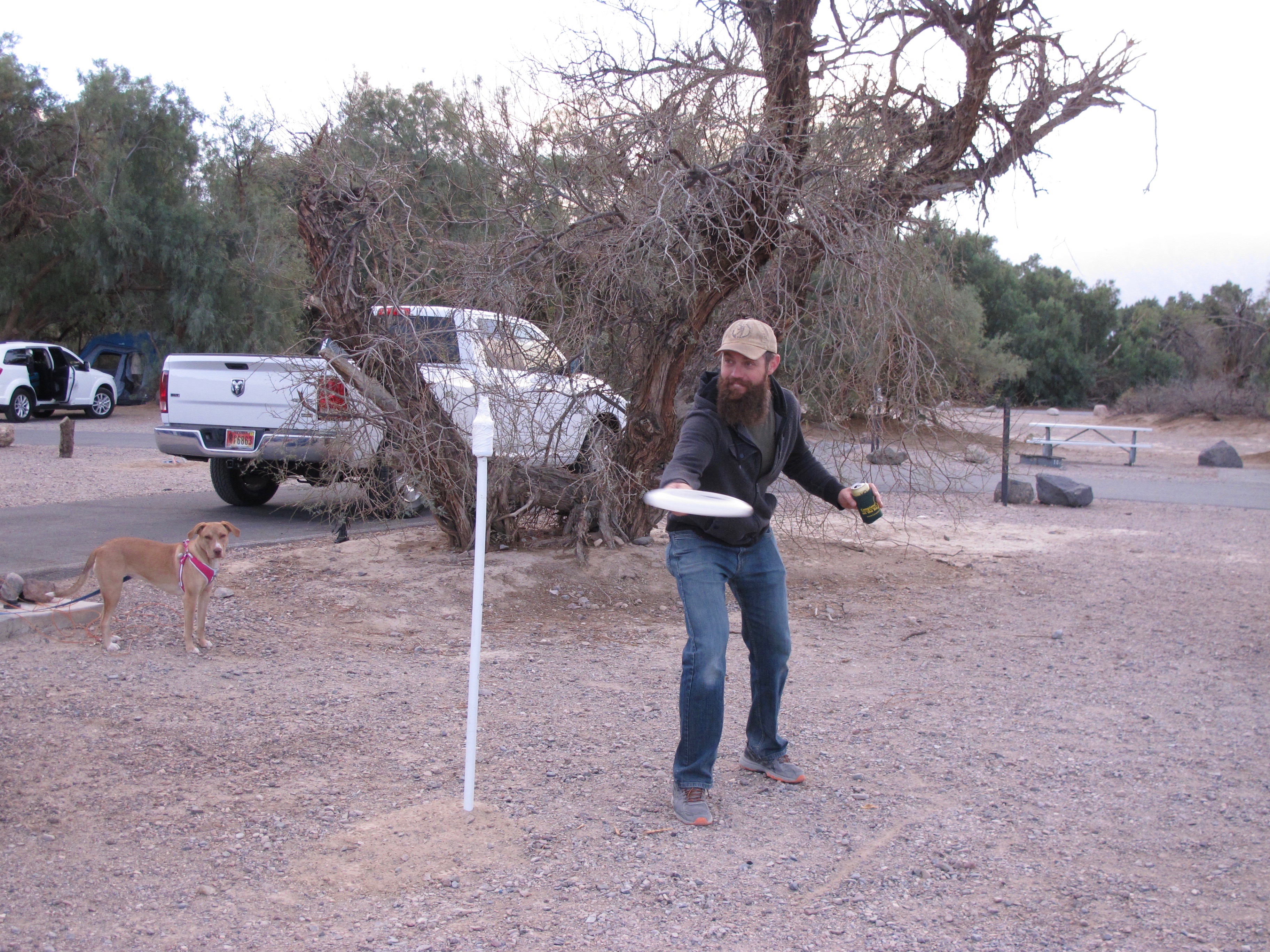
Another game the two intrepid nephews played was called Beersbie (or something like that). There were many rules, but a primary rule was to always have a can of beer in one hand while trying to catch the Frisbee, throw it, or try to catch the beer bottle if it’s knocked off the pole.
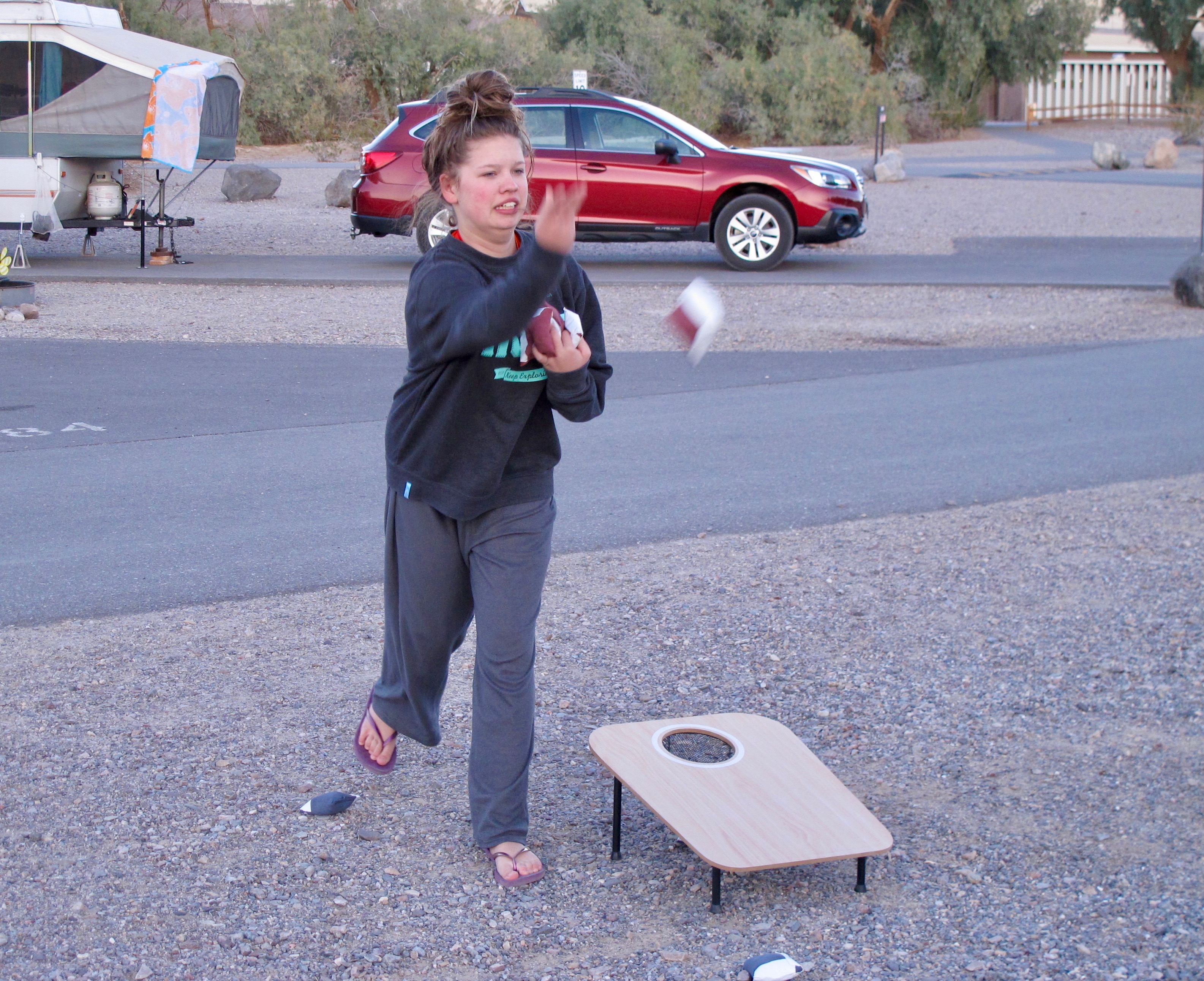
Another game was cornhole where one tosses the beanbag to a platform with the intention of getting the bag into the hole. Kylie is really concentrating.

Megan must have made a score with the bag.

The foursome on the golf course. We didn’t shoot the scores we had hoped for, but we had fun and a lot of laughs.

A view of the Furnace Creek Course with the Panamint Mountains in the background.
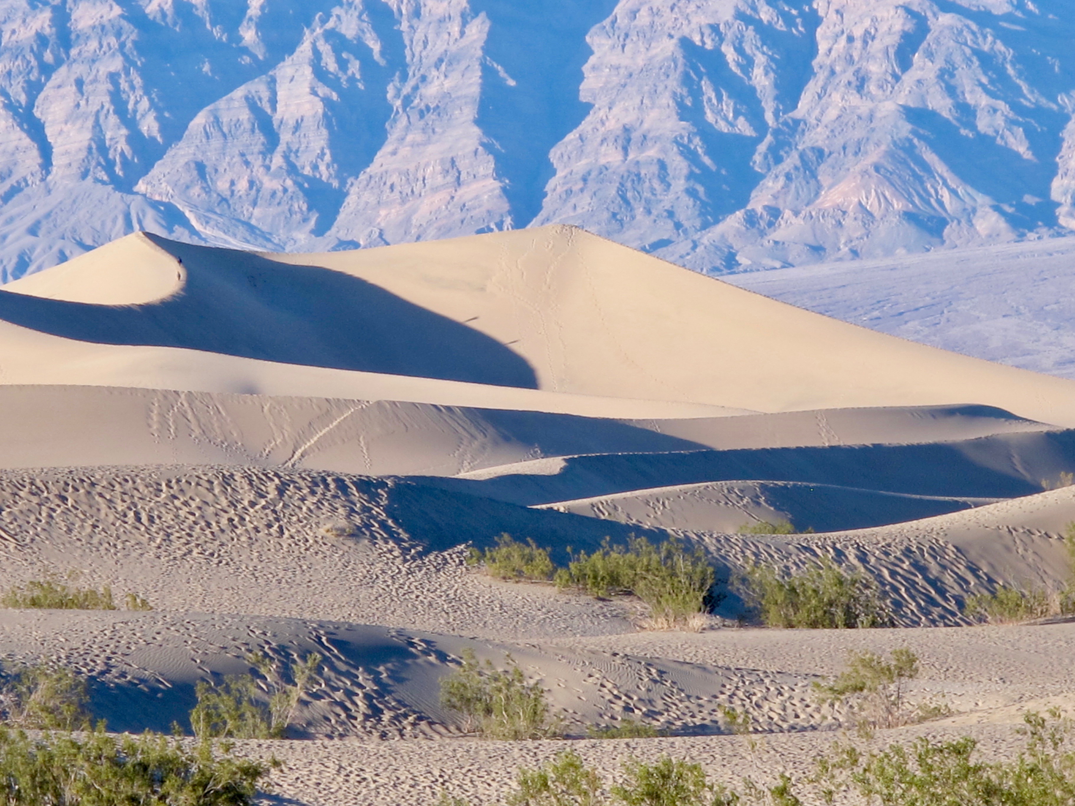

Jolee, Jerri, Dalan, Megan, Kiley and I went out to the Mesquite Flats Sand Dunes. These dunes sprawl 14 square miles across the widest part of Death Valley.
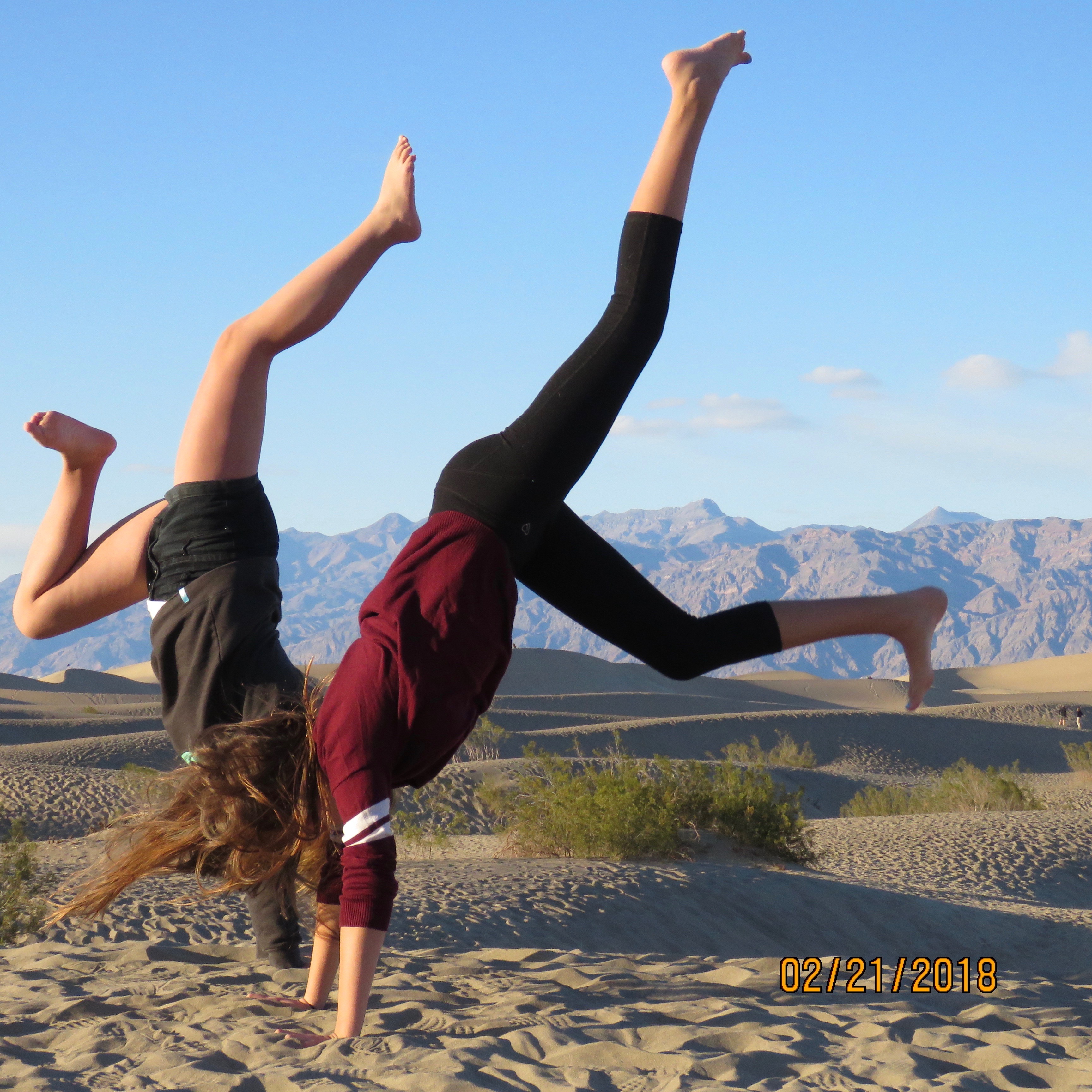
People are free to walk wherever they wish. We were at the most easily accessed dunes where it’s fun to watch the kids play as well as the adults.
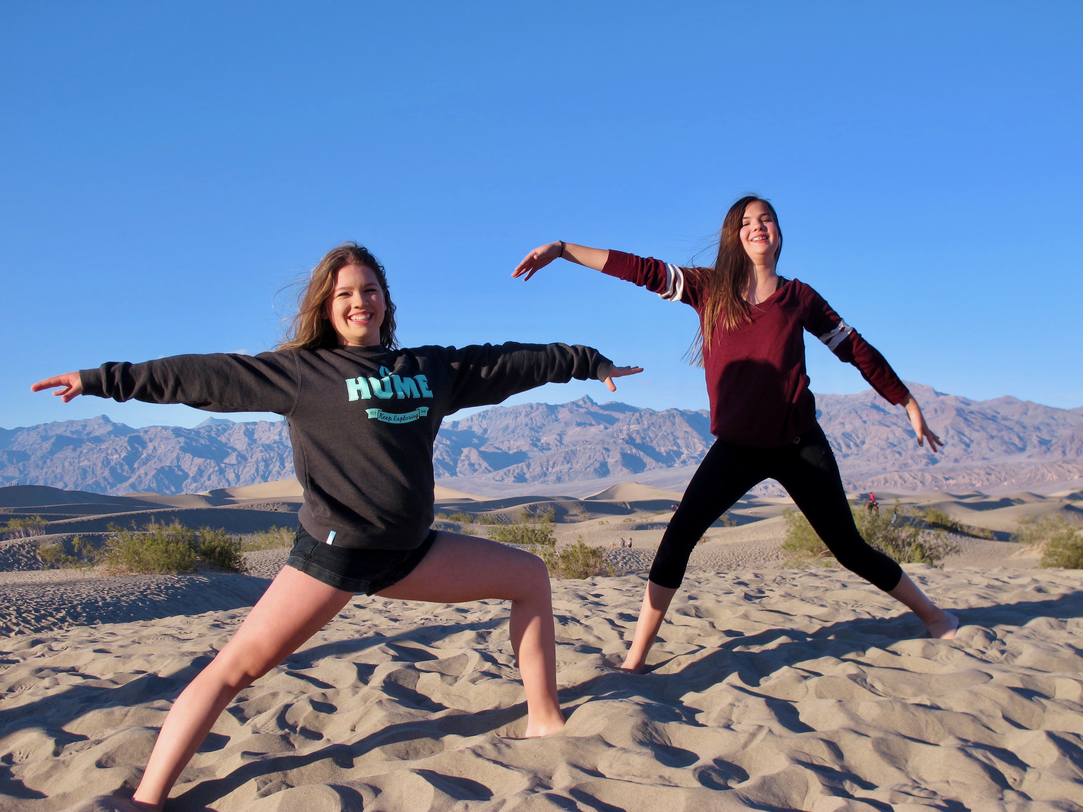
A neat thing is there will be no footprints in the sand come morning. The wind blows and reshapes the dunes.
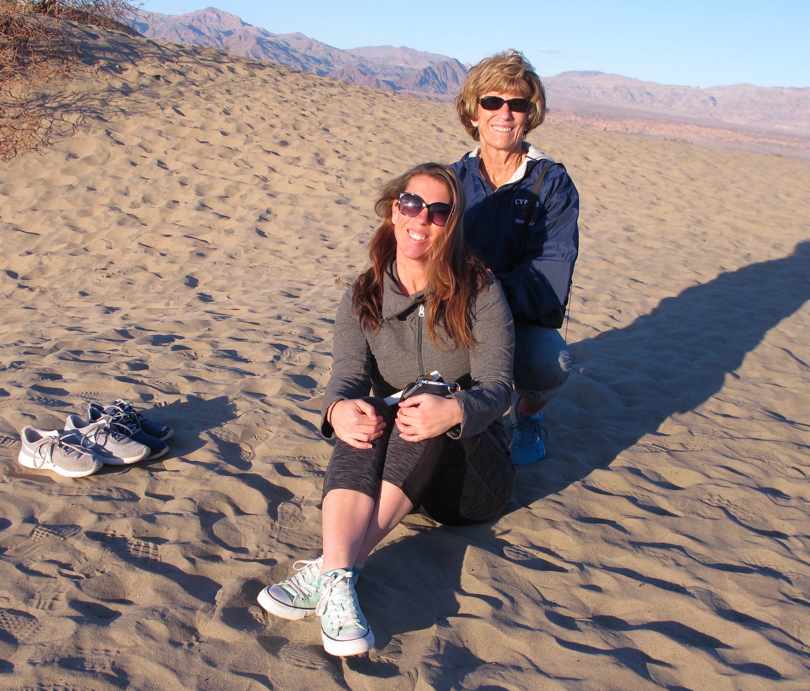
Jerri and Jolee

I espied these tracks and wondered what made them.
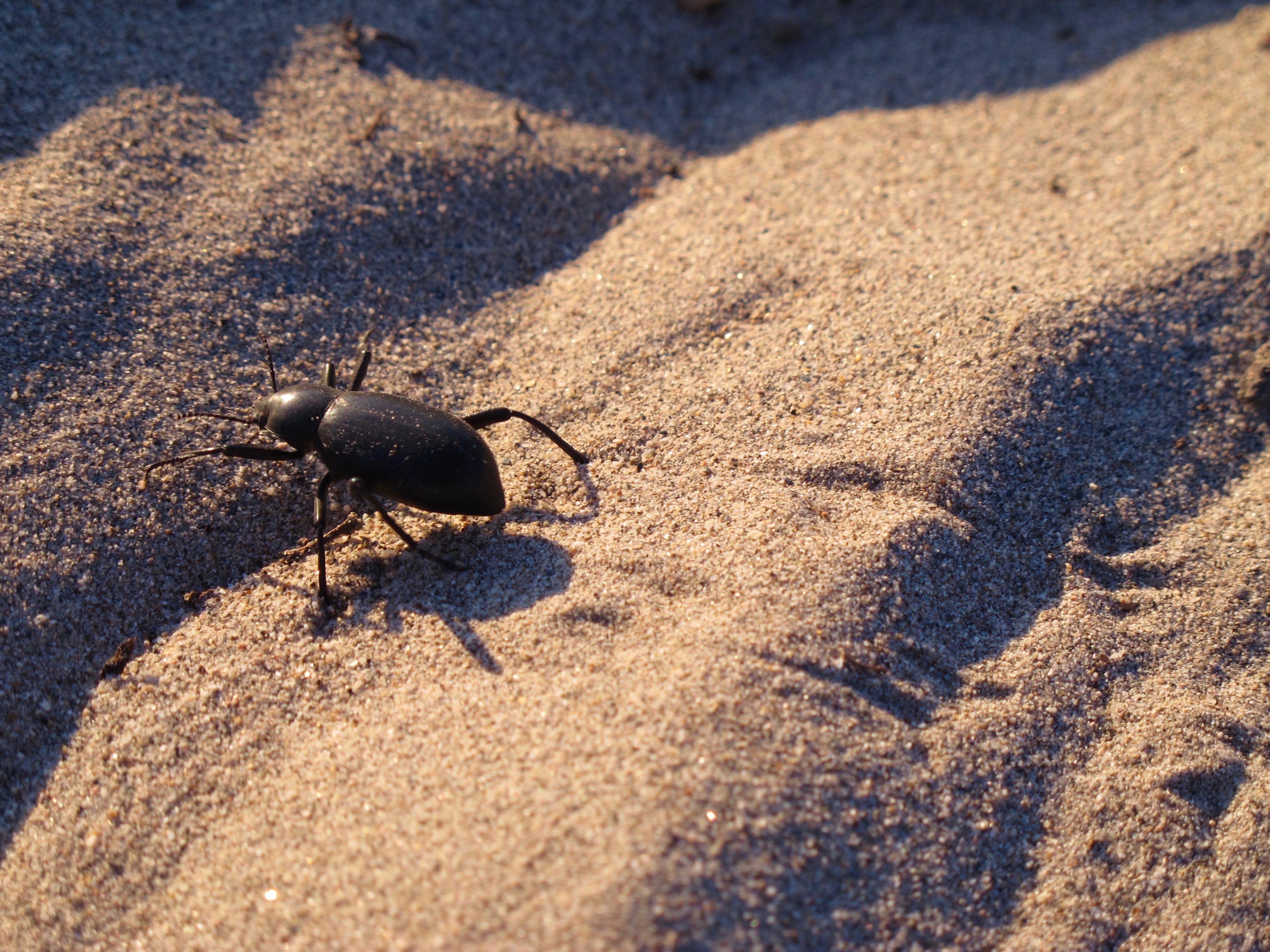
It was pretty easy to follow the tracks and discovered this large stinkbug hustling across the sand to another plant so as to have some shelter.
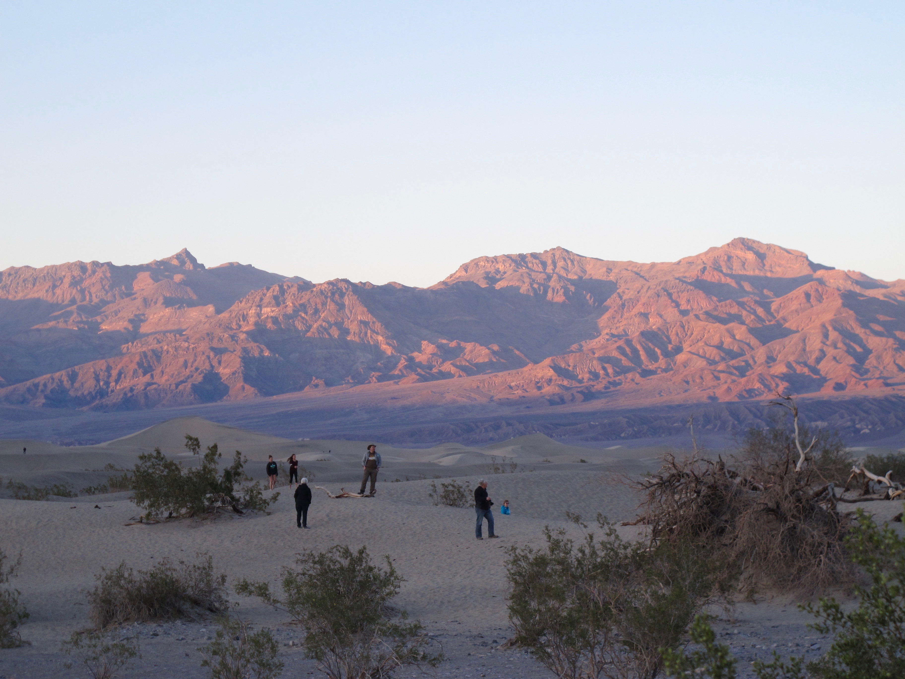
The sunset wasn’t very spectacular but the setting sun’s reflection creates some pretty colors as people come back across the dunes to get to their cars.

The next late afternoon, we went to Zabriskie Point to see colors and maybe a sunset. The reflected colors are beautiful and I enjoy going there to see all the people as well as the sights. There is a large raven in this photo. See if you can spot it.
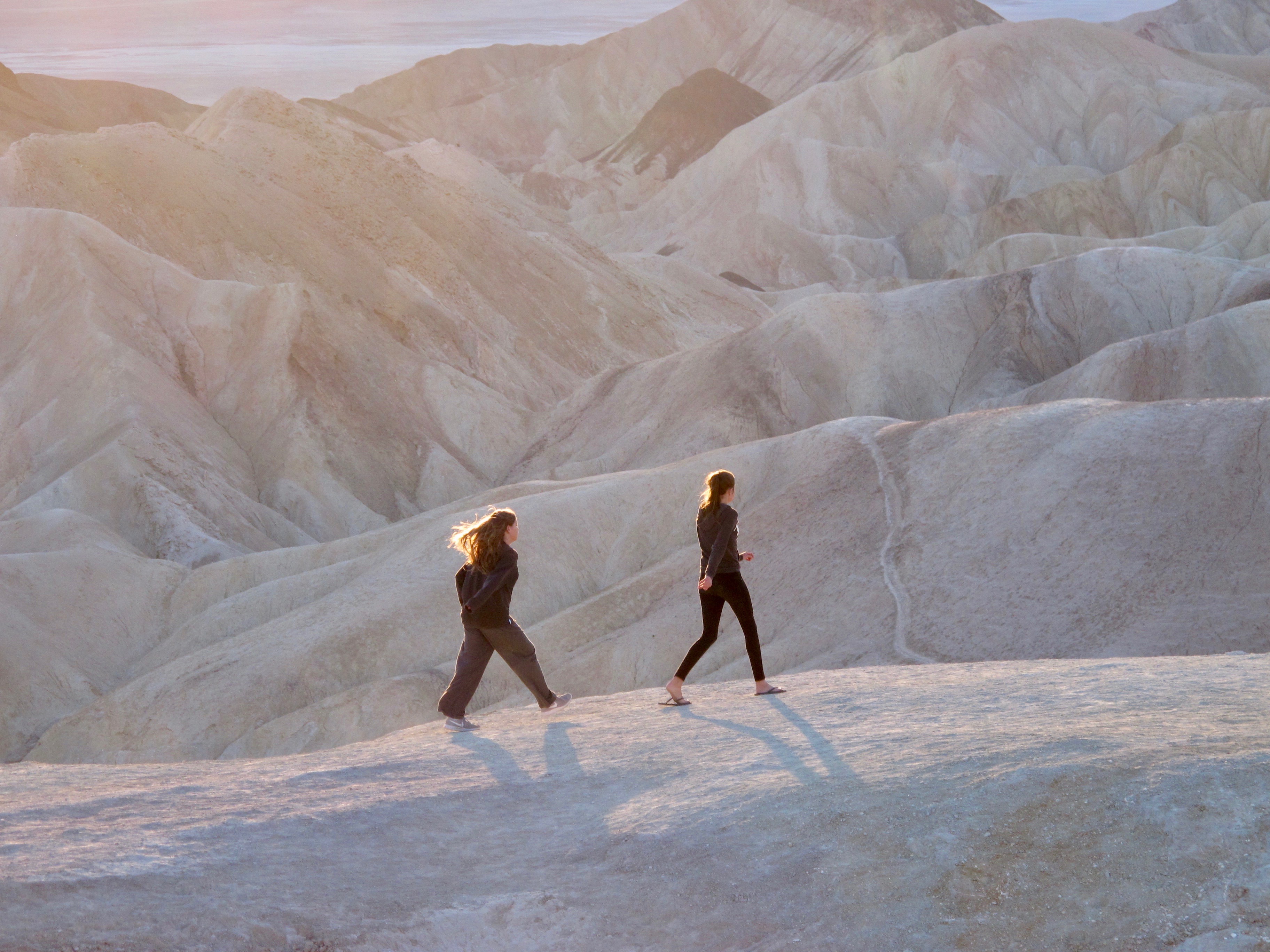

The kids like to hike around the area and Megan and Kylie zipped out to an area in front of the actual Zabriskie Point. Dalan went out to points unknown to take pictures.
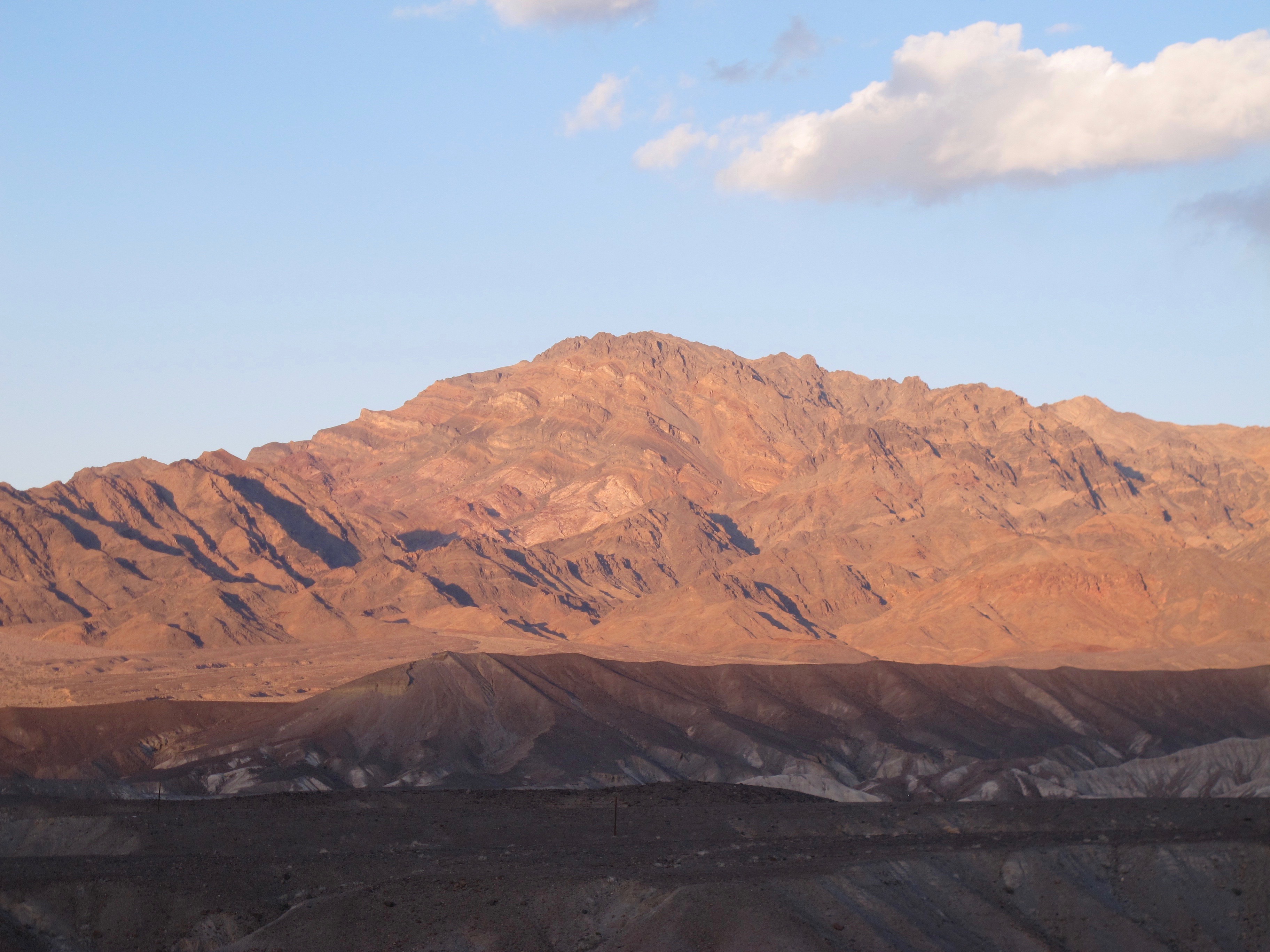
The sunset didn’t have extraordinary colors but the reflections were fabulous. I thought it was a nice ending to the last day in Death Valley. I’m already looking forward to going there next year…especially to be with the family.
P.S.  On the way home, we saw six bighorn sheep beside the highway that goes by Walker Lake.  It’s the first time I’ve ever seen bighorns in Nevada.

Ag, Birds and Critters in Carson Valley January 2018

19 Jan


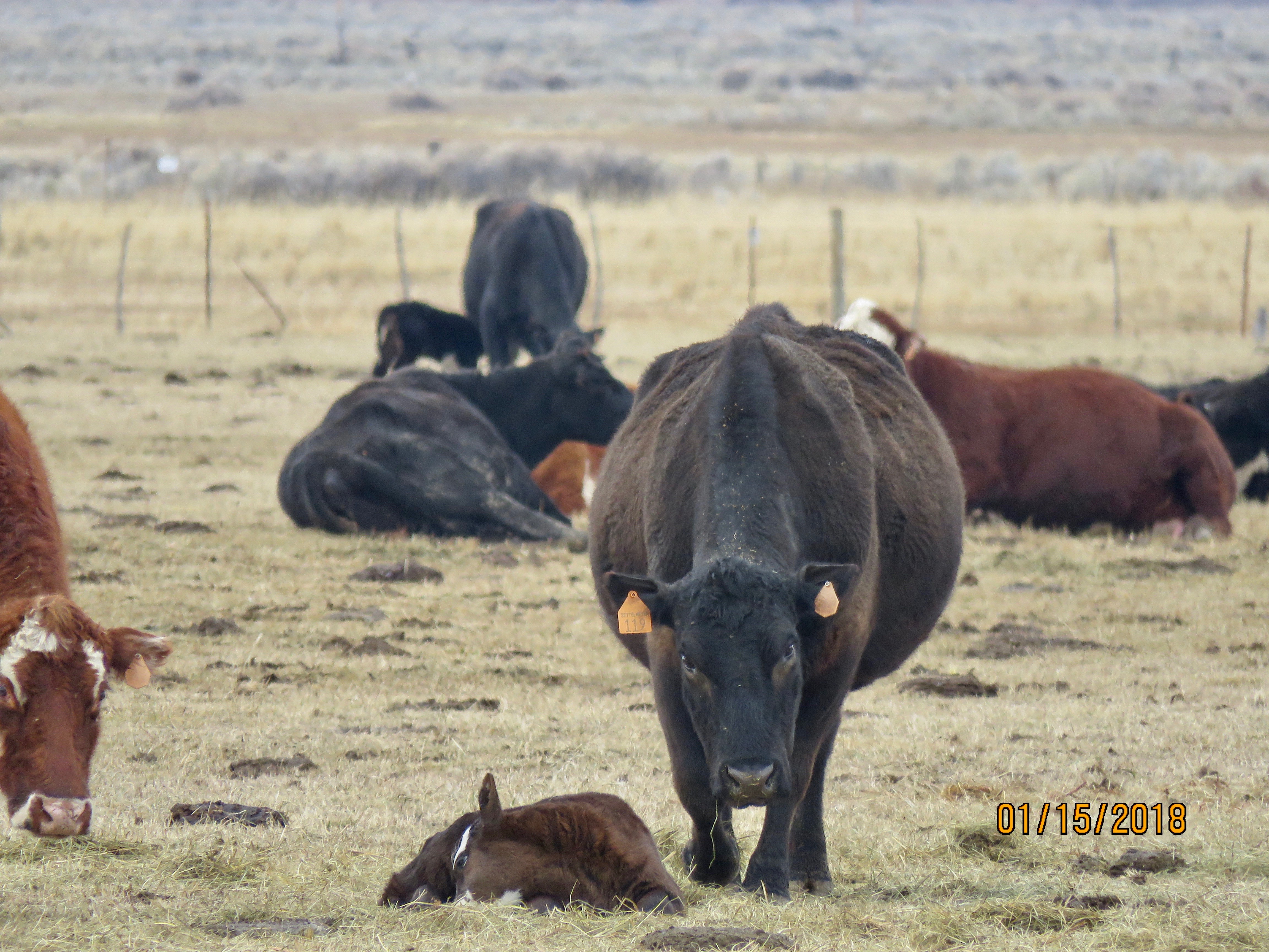
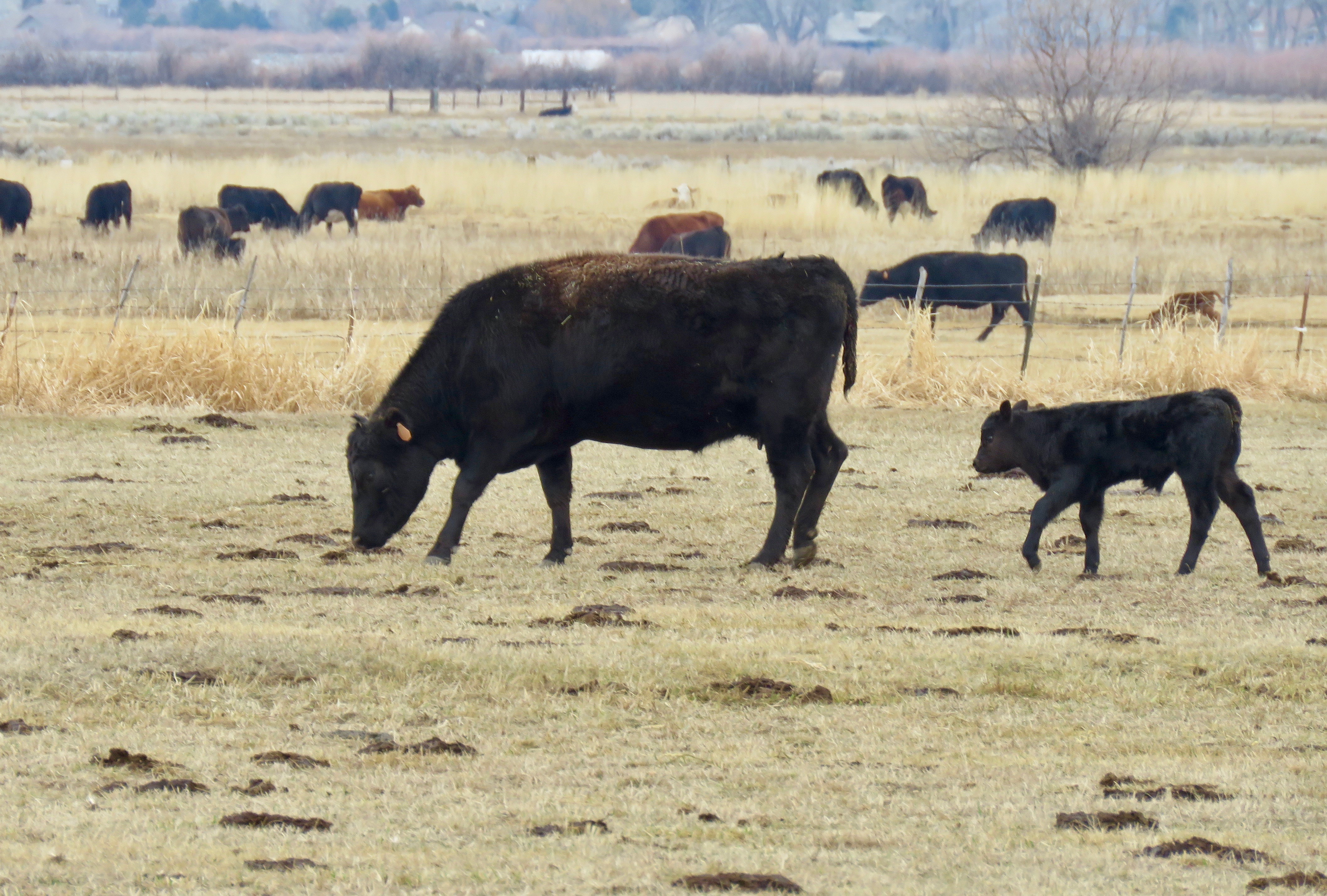
 It is Eagles and Ag Week in the Carson Valley during which people flock to the valley to see bald eagles and other species of raptors along with the herds of cows giving birth. It is not uncommon to see 10 or more cars stopped alongside Highway 395 to watch this phenomenon. My car is sometimes one of those. Buzzard Notes has covered this before but this will be a bit different version. (Please remember to click on a photo to enlarge it and see it better)(Thanks to Jerri for loaning me her camera with a greater zoom quality than mine)

I was on my way back from Woodford’s, a tiny settlement that is the first place in California to buy Lotto tickets when I saw these “raincows” and a rainbow announcing that the pot o’ gold is in that house and all is right with the world.

A day later when we had another beautiful sky. I love how the clouds and winds interact with the light and we get beautiful sunrises, sunsets and days.

I get excited about the birthing and the eagles, so I took a little field trip in hopes of seeing a lot of eagles. Sometimes I think it’s a snipe hunt, as I have never had spectacular eagle photo opportunities. But I did meet a local prize winning photog at the Settlemeyer Ranch and he showed me some wonderful pictures he had taken the day before. I settled for some mom and baby pictures.


I did see two eagles that day but they were at least 500 yards away and the camera doesn’t have the capability to take those photos.

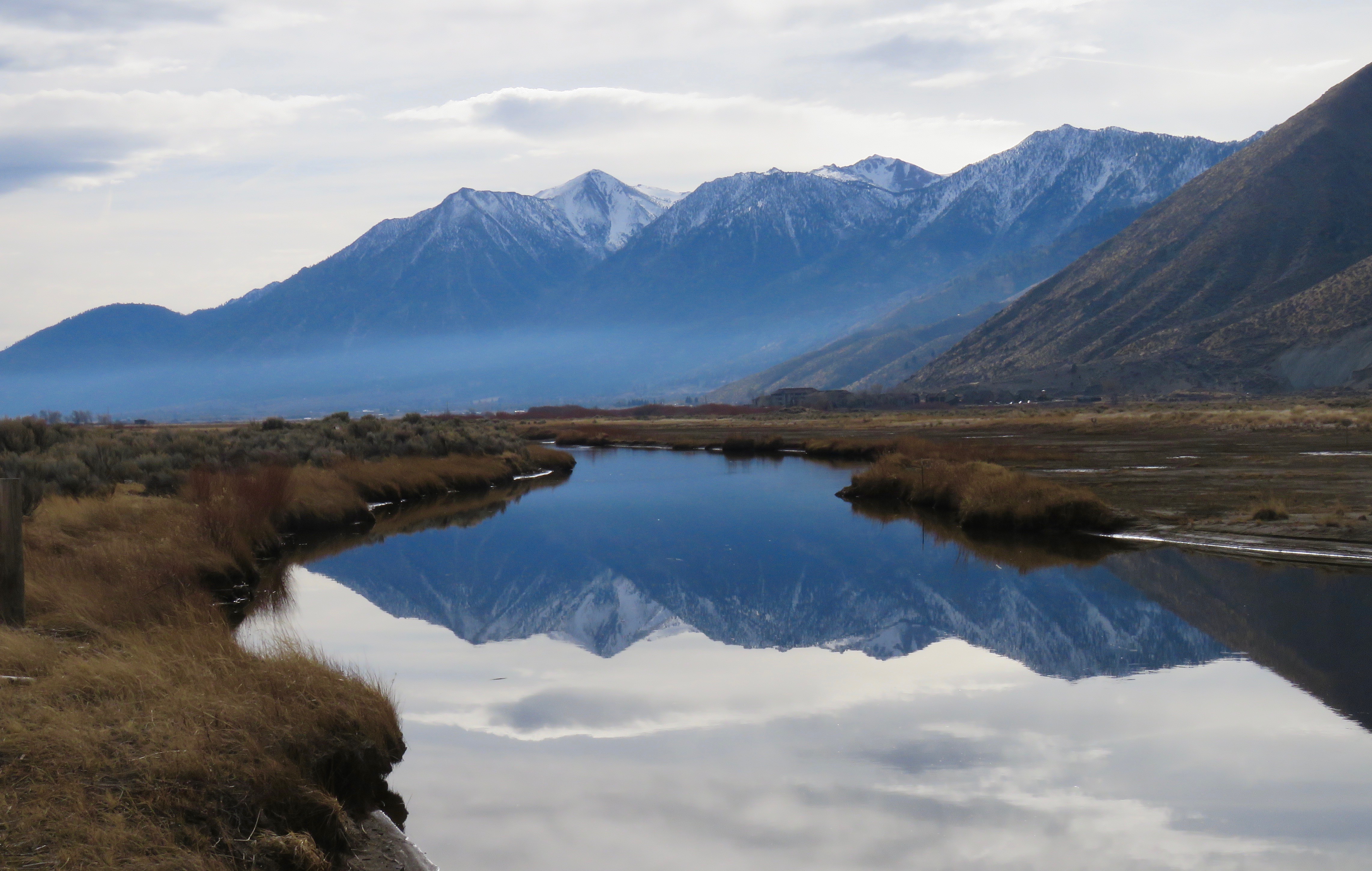
I moved on to the East Fork Nature Conservancy because I know there is an eagle nest in a distant tree in that area. Alas, no eagles seemed to be there, but I did get a rather mystical picture of the Carson River and Job’s Peak, a Douglas County sentinel that is photographed literally hundreds of times each year.

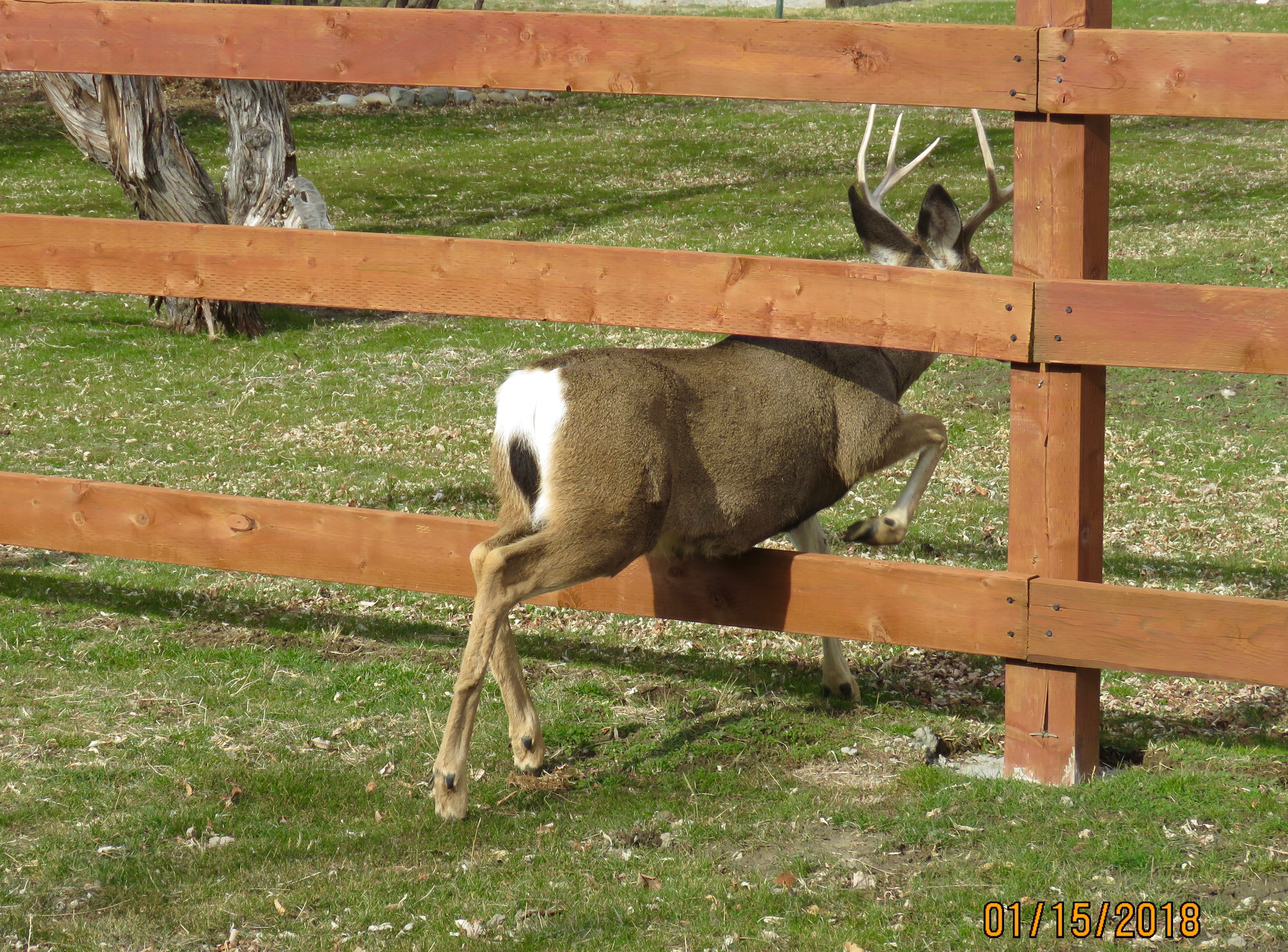
I drove on the Genoa, home of the oldest thirst parlor in Nevada. No, I didn’t visit it. I was in search of the suicidal deer that reside there. (I’ve mentioned before that the deer wander all over town with no thought to traffic, hence their tag of being suicidal). Maybe you could call her a Street Doe.
Note the white horse under his blanket in the background and another deer in the back left.

Genoa deer have it down pat. They just cross from one property to another. Maybe this is another type of crossin’ the bar?

Did you notice how dry it is? No snow in the valley so far this winter and it’s a bummer. Not quite a year ago I took this picture just a yards from where I took this year’s pictures.

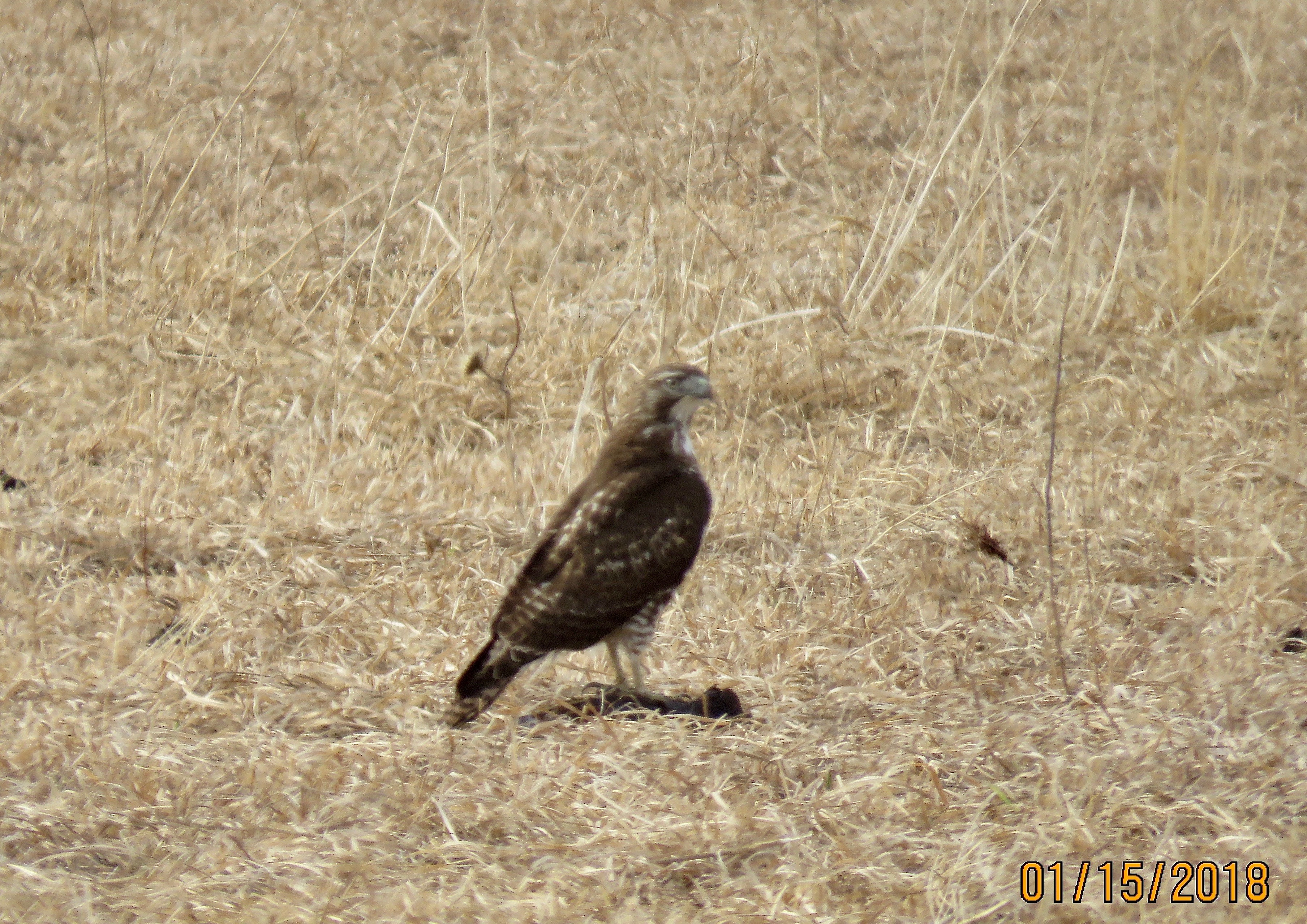
Obviously, there were no eagles in Genoa, so I headed over to the Dangberg Ranch where I had seen one perched last year. No eagles did I see this year, but I did see what I think is a female Northern harrier, another raptor.  (Sorry about the photo not being sharp)

Harriers generally do not soar (except in migration and courtship) but fly close to the ground looking for prey.

While at the Dangberg, I met another local photo guru who told me this is a prairie falcon. I love meeting these guys, as they aren’t shy about sharing their knowledge of birds and photography.

On the way out of the Dangberg Home Ranch, I was met by these two ladies that might have been waiting for a ride, for Godot or who knows? These cattle are Park Ranch cows and have not calved yet. They will in another week or so.

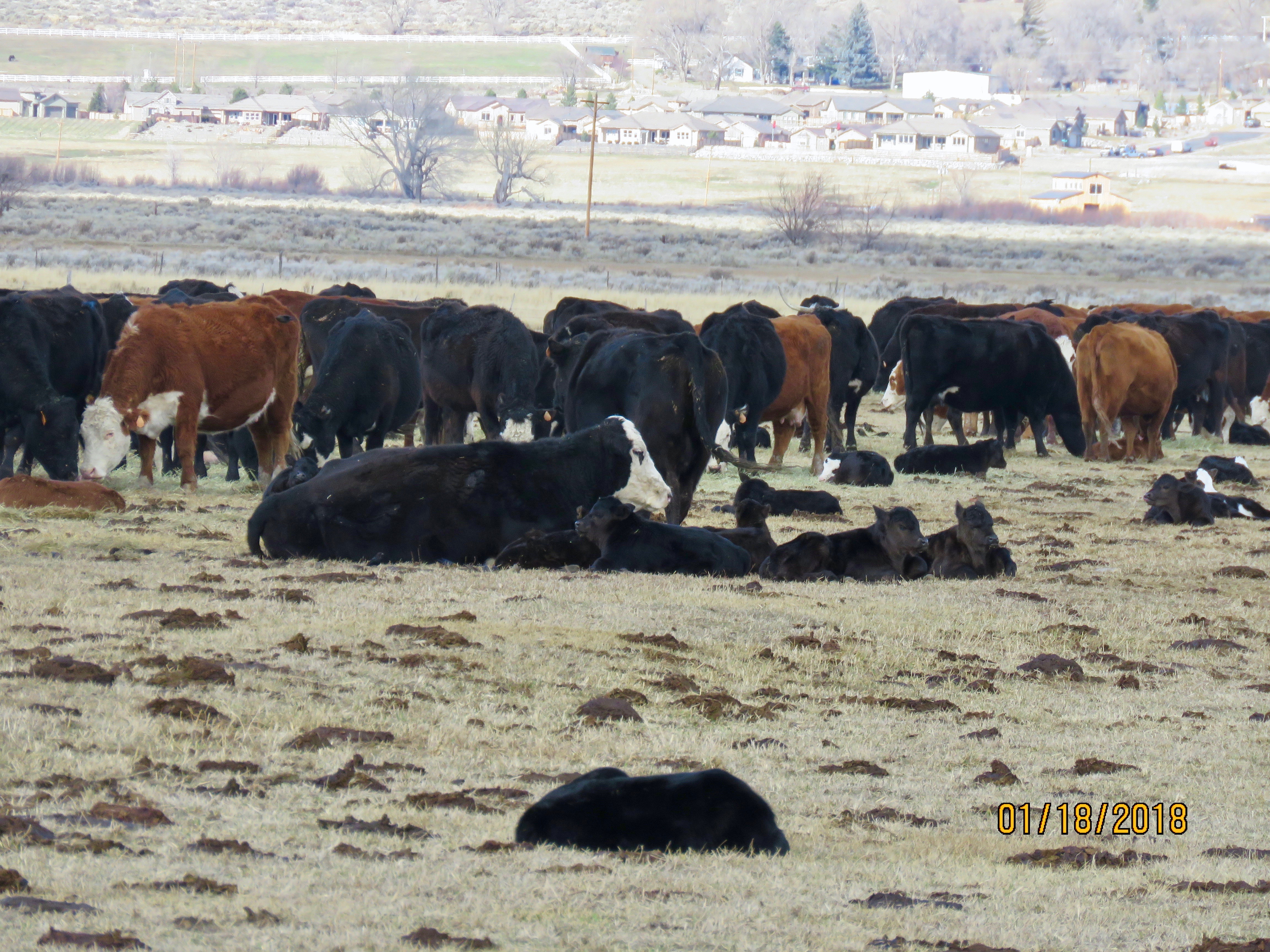
Three days later I stopped by the Settlemeyer Ranch again to see what was happening. More babies had been born. The cow lying down with the babies had given birth maybe the day before, as her baby was quite small.

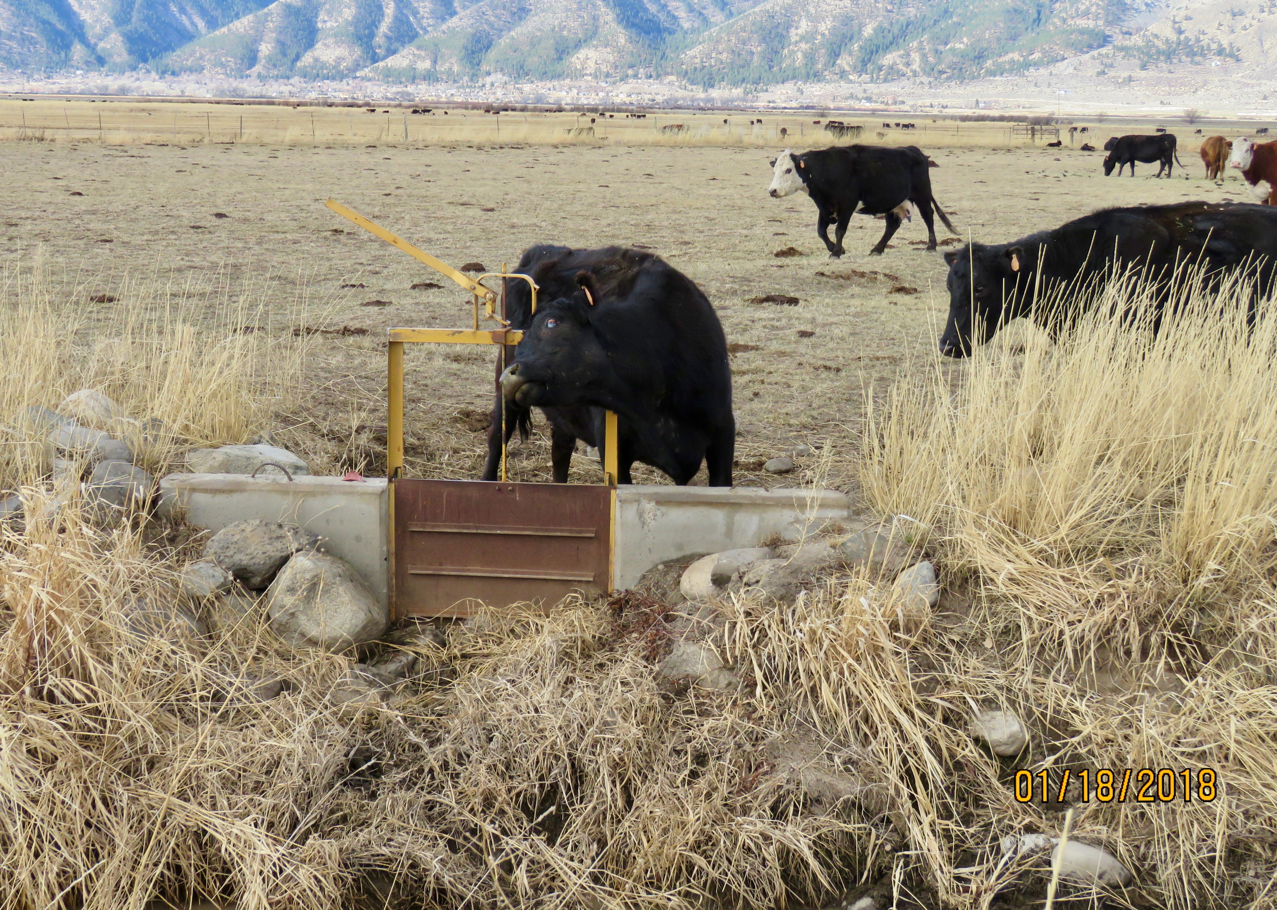
One cow needed a scritch and used what was available. Note her friend, Bossy, moving in.

Bossy saw a good thing and took over.

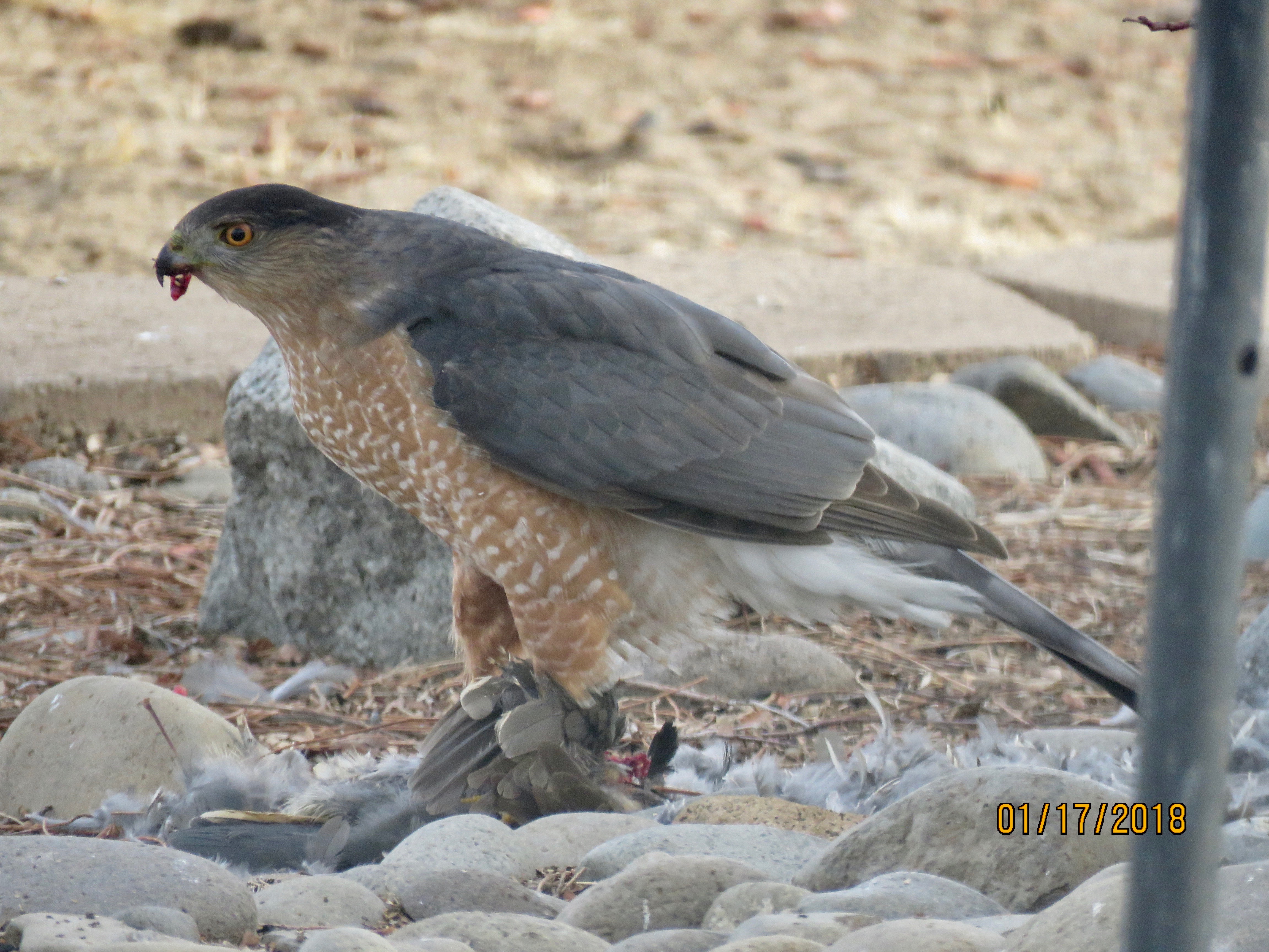
As you can see, life goes on in the Carson Valley with a lot of birthin’ and, sometimes the opposite. I came home a couple of days ago and looked out in back to see this Cooper’s hawk with a kill. I took a bunch of pictures and then did some other tasks. When I looked out about half an hour later, there was nothing left on the ground except feathers. I don’t know if he ate it all or flew away with part of it.

Several varieties of hawks fly over my feeding area for smaller birds. Sometimes they are successful. I don’t like to see it happen, but realize that these critters are doing what comes naturally.

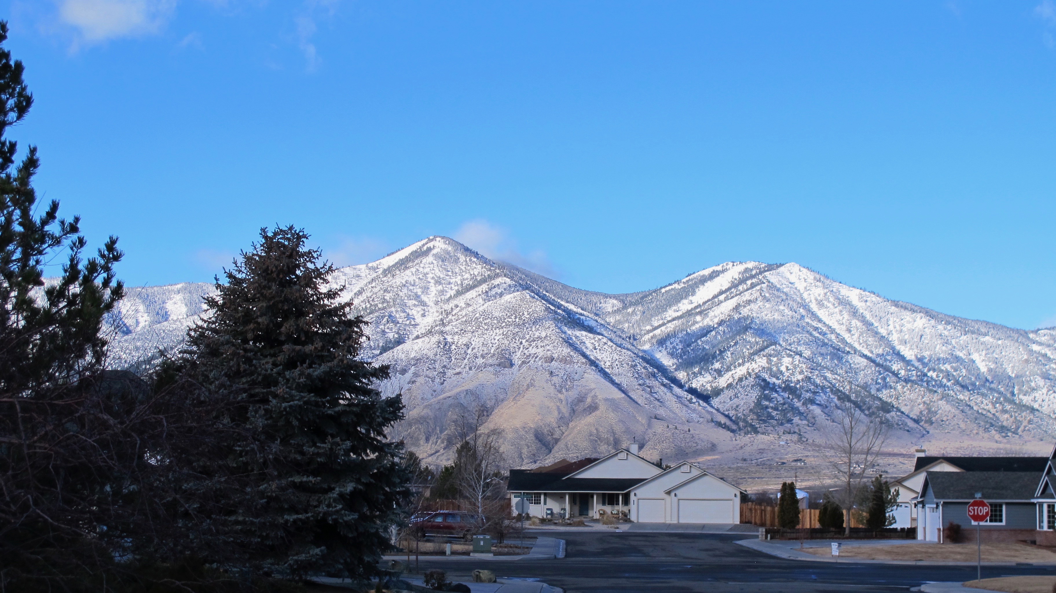
We had pretty good winds yesterday, topping 50 mph and 70 near Lake Tahoe. The mountains got some snow and we got a spritz. It was snowing a tad when I went to the gym this morning, but nothing stuck. This was the scene looking west this morning. The mountains look so close but the foothills are actually 6 or more miles away. I never tire of this view.


Sister Trip 8 – Oahu & Maui – September 26 to October 5, 2017

23 Oct

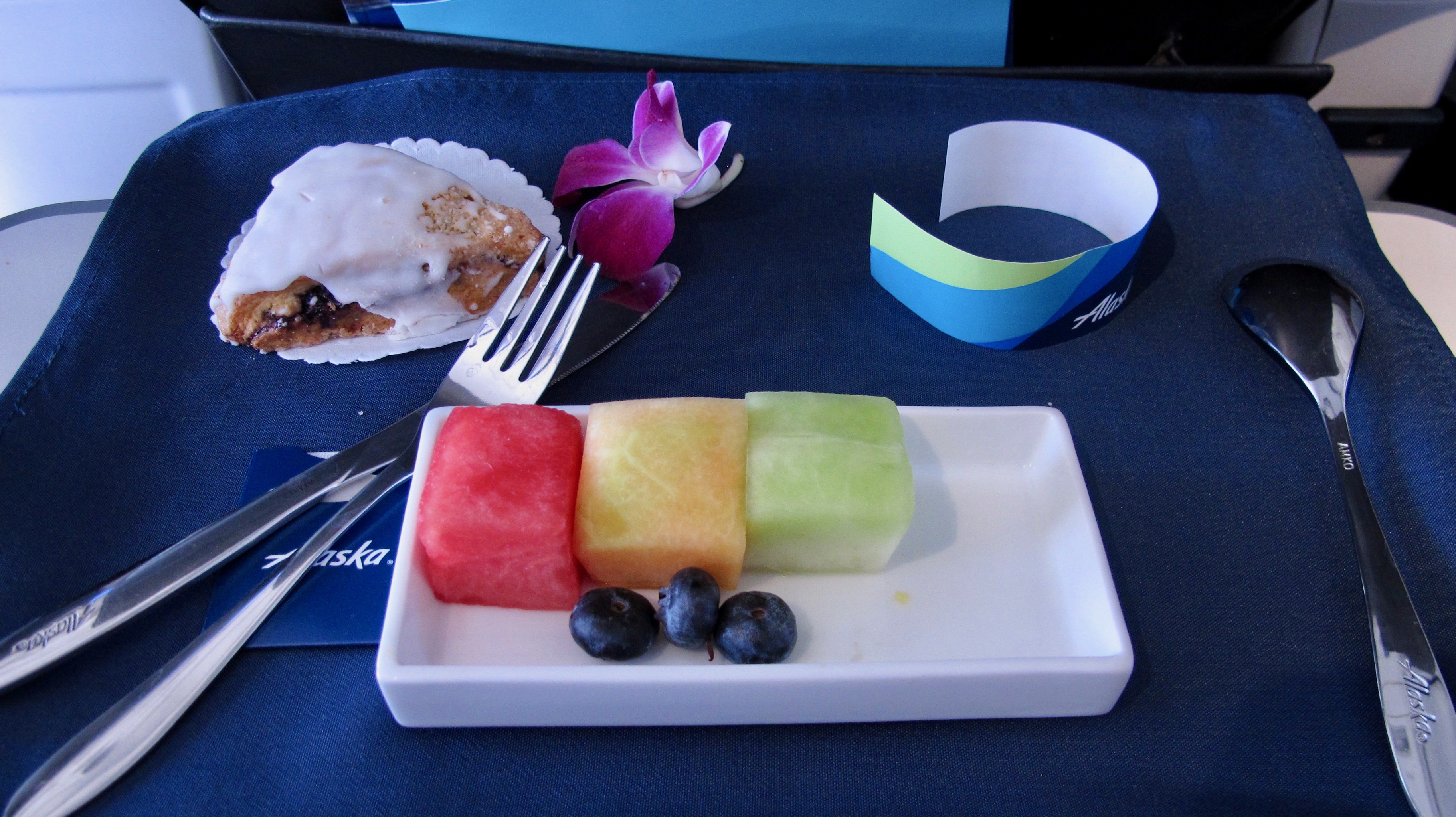
Alaska had such a good deal that we were able to fly first class. Such fun and good food! We were doubly glad we were in the comfy seats because just before we reached the halfway point, we had to return to Oakland due to two medical emergencies. (if you wish to enlarge the photos, please click on them)

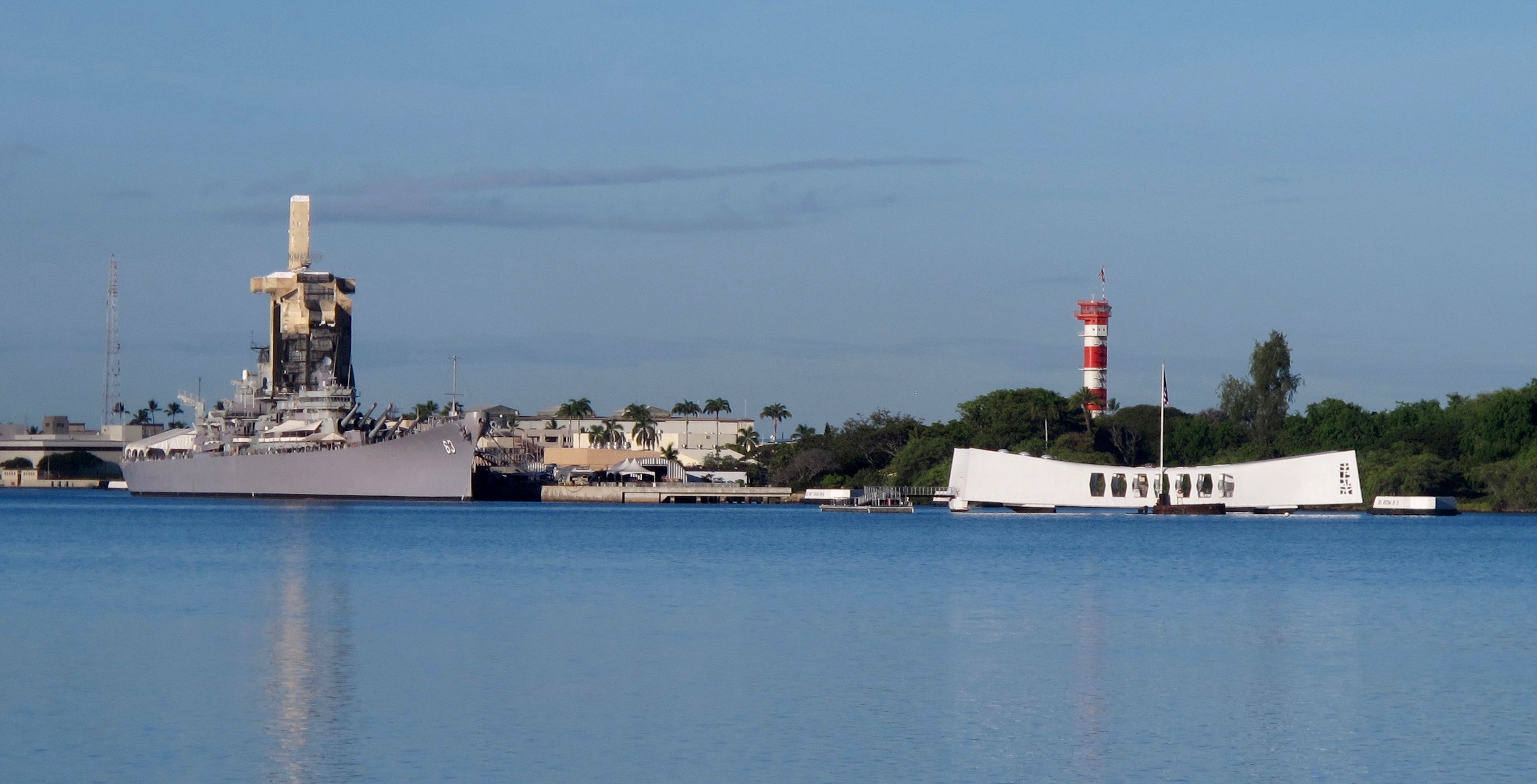
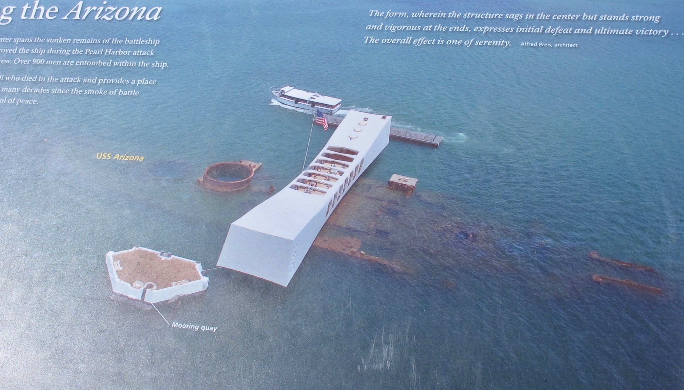
Our first must-see was Pearl Harbor. The Arizona Memorial and the USS Missouri represent the beginning and end of World War II

WWII Valor in the Pacific National Monument is the the official name of where visitors see the Arizona Memorial.  One of the ships you can tour is the submarine, USS Bowfin. This is looking toward the stern from the conning tower.

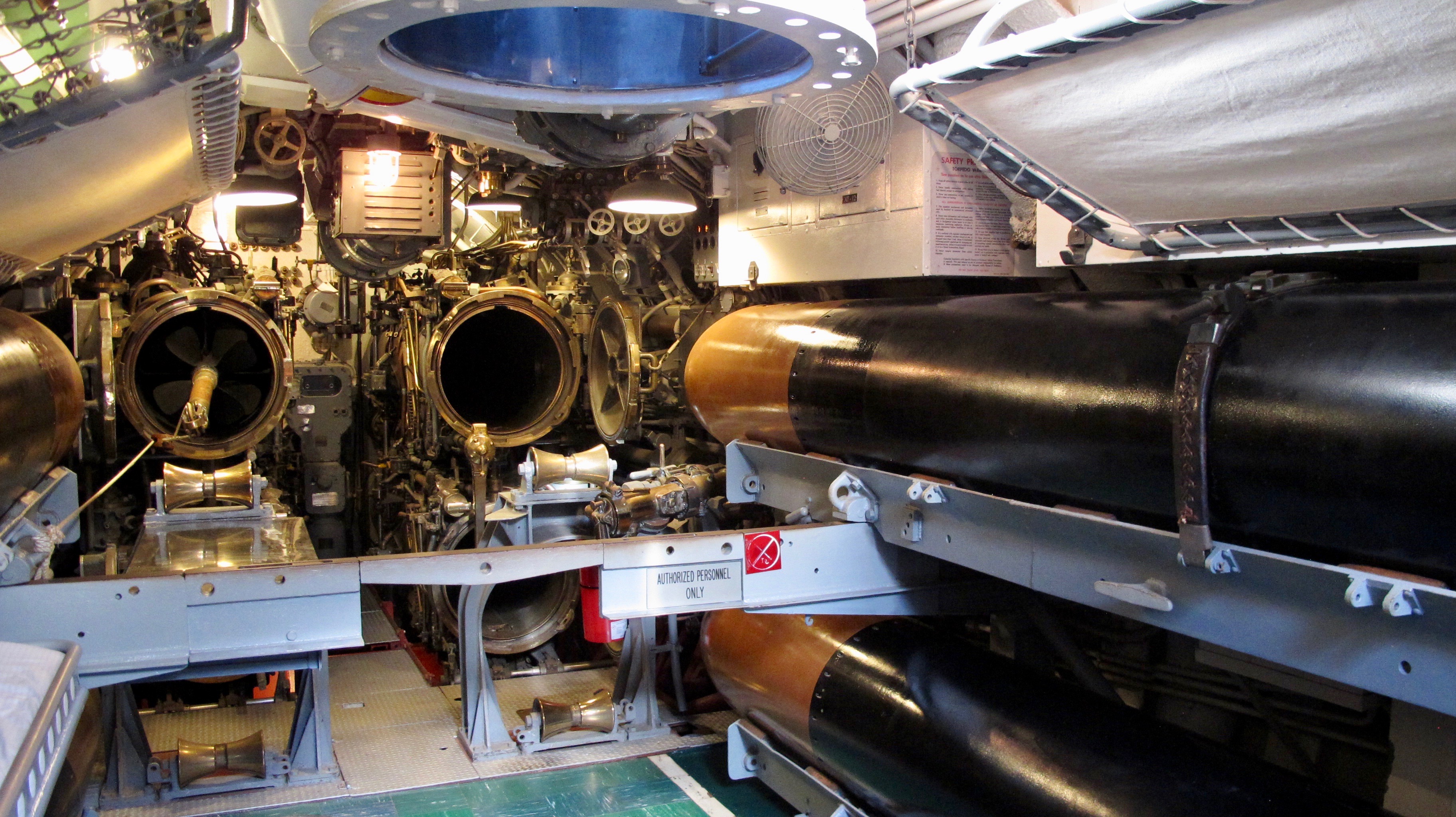
Those WWII submariners were special people to be in these tight quarters. There were bunks even in the aft torpedo room.

Pearl Harbor and Honolulu are truly at the Crossroads of the Pacific.

I was impressed with the logistics of moving people out to see and board the Arizona Memorial. Upon arrival, one receives a ticket with a time to see a very well done film about the attack. After seeing the film, you leave the building and board a navy boat that takes you out to the Memorial. Everyone gets about 10 or 15 minutes to look around and then you get in line to wait while the next navy boat lets people off and then you board. It’s very efficient and done very respectfully.

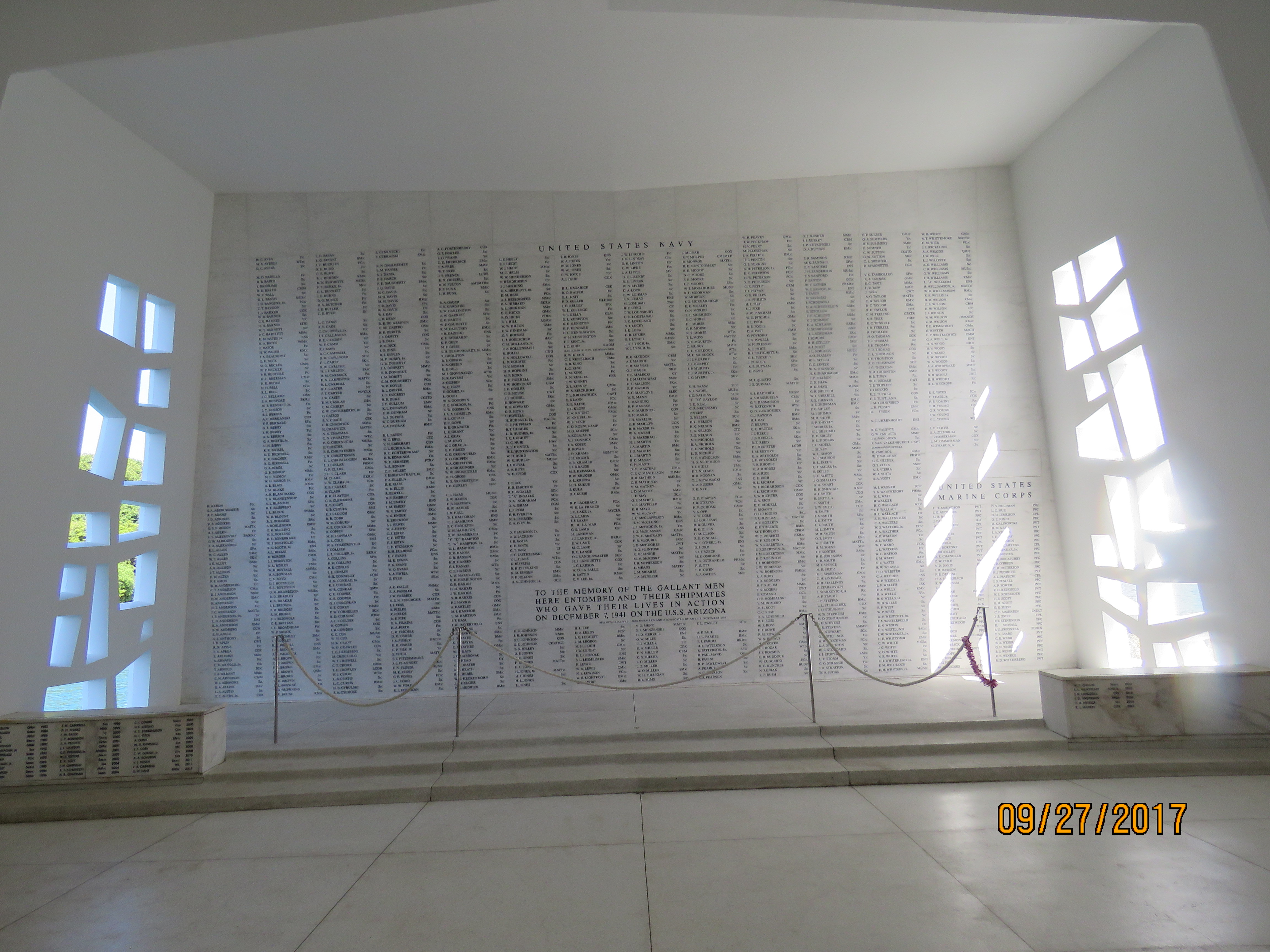
The memorial wall with the names of the men who are entombed in the Arizona and their shipmates who did not survive the attack. The bench-like boxes on the left and right list the names of survivors who chose to be interred with their shipmates.

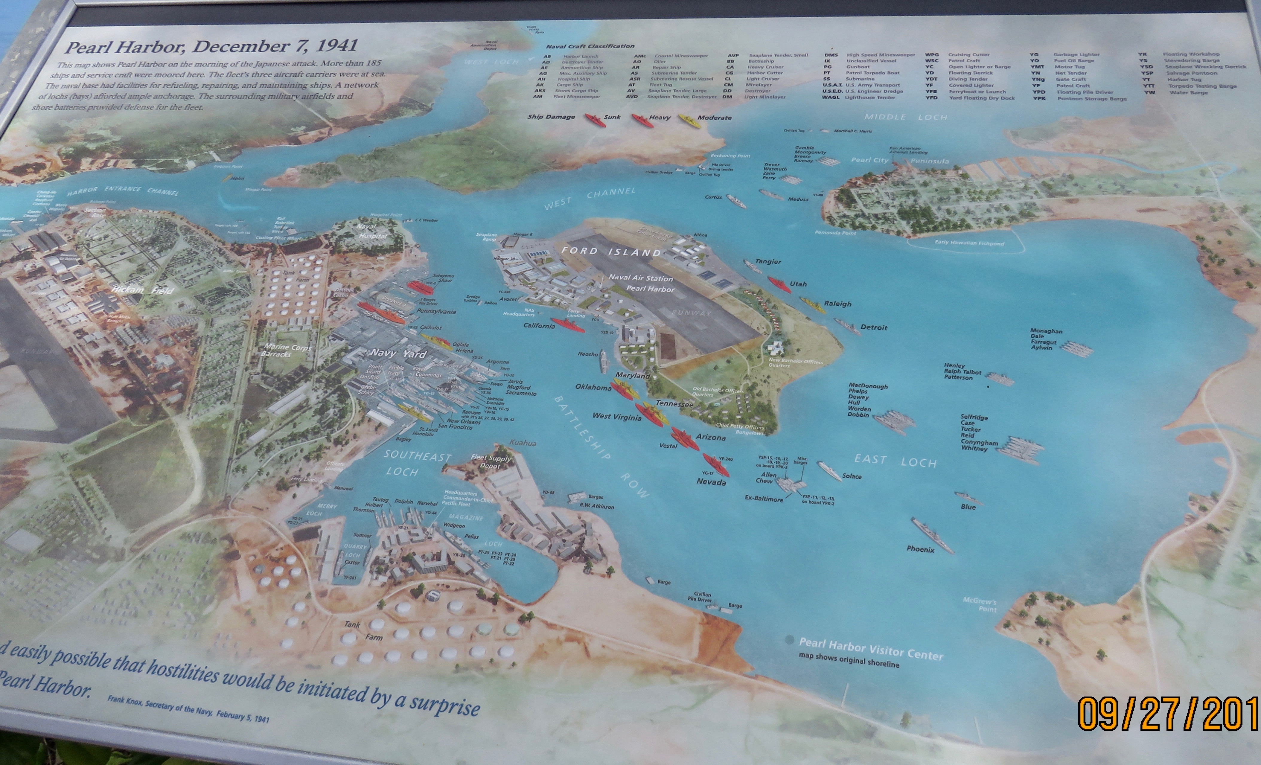
This map shows the ships’ positions just prior to the attack and what happened to them. I was incensed when I saw what I thought indicated the USS Nevada was also sunk. It was anchored in front of the Arizona and was the only battleship to get underway that day. It was heavily damaged but was repaired and fired one of the first salvos on D-Day. I even wrote a letter to the Park Service explaining what I thought was an error. Not until I saw Jerri’s picture here that I realized the colors were different shades and the Park Service really did have it right. So then I had to write a letter of apology. I still think the colors should be completely different so as not to confuse folks like me.

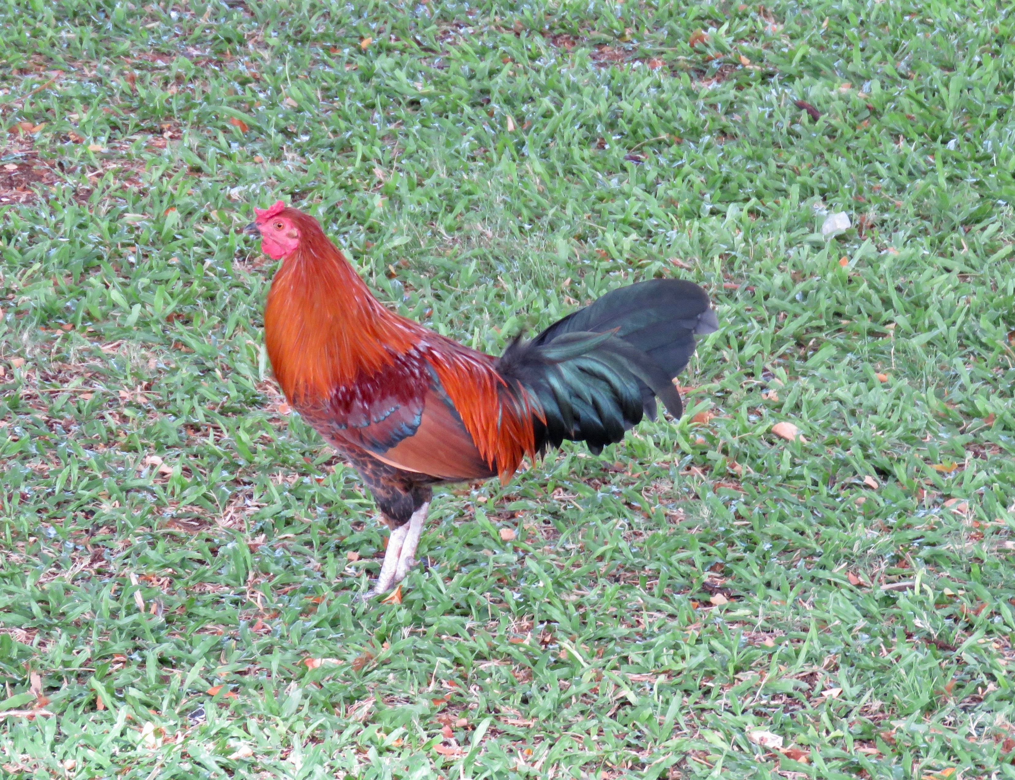
As we were leaving Valor in the Pacific Monument, Jerri spotted this moa (a feral chicken). He was just pecking his way around the Monument grounds. His cousins are all over the Islands.

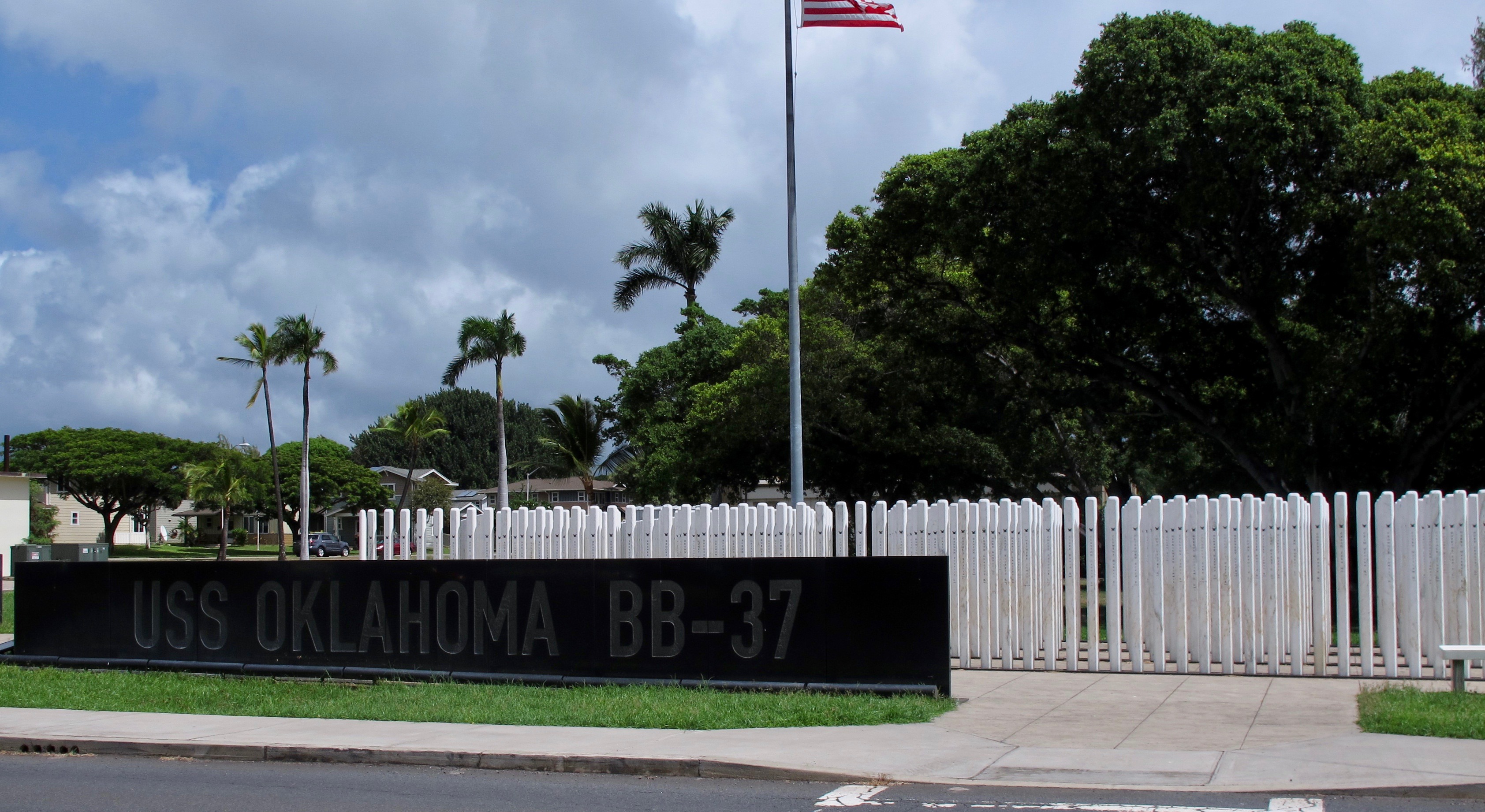
The USS Oklahoma Memorial: The marble standards symbolize the “manning of the rails” – the crew in dress uniforms standing at attention along a ship’s rails in a display of honor and respect. I think this is a unique and poignant memorial for the 429 men lost on that fateful day.

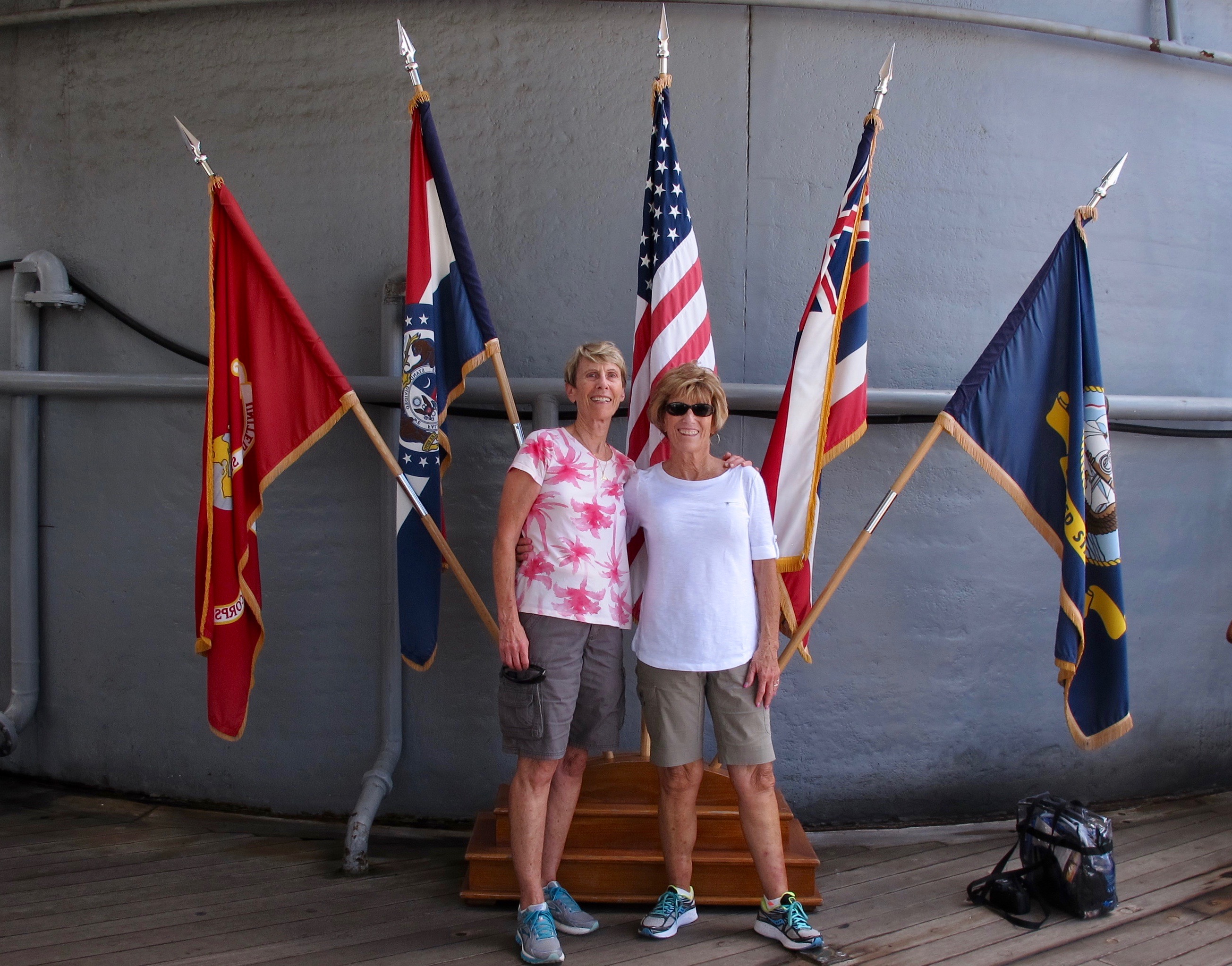
We are on board the USS Missouri. Those guns behind us weigh, literally, tons.

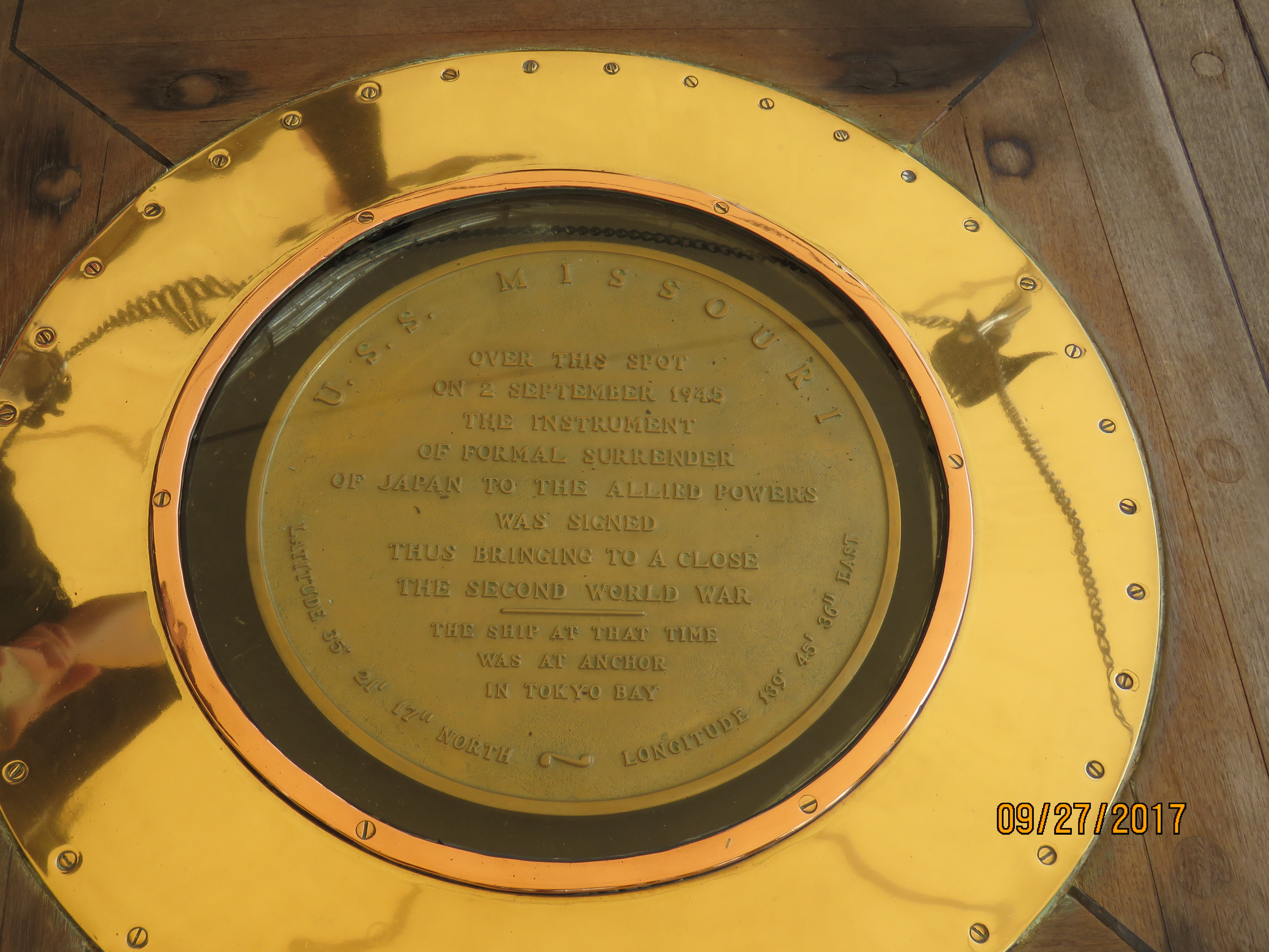
The exact spot on the USS Missouri deck where the instrument of formal surrender of Japan was signed to bring a close to WWII.

We were able to tour a good part of the Missouri above and below deck. It was like a confusing city below deck where the men slept, ate, went to the dentist, saw the doctor, wrote letters and lived their lives. We were glad to get back to the main deck away from (again) those tight quarters.

Perhaps the most famous photo of the end of WWII.

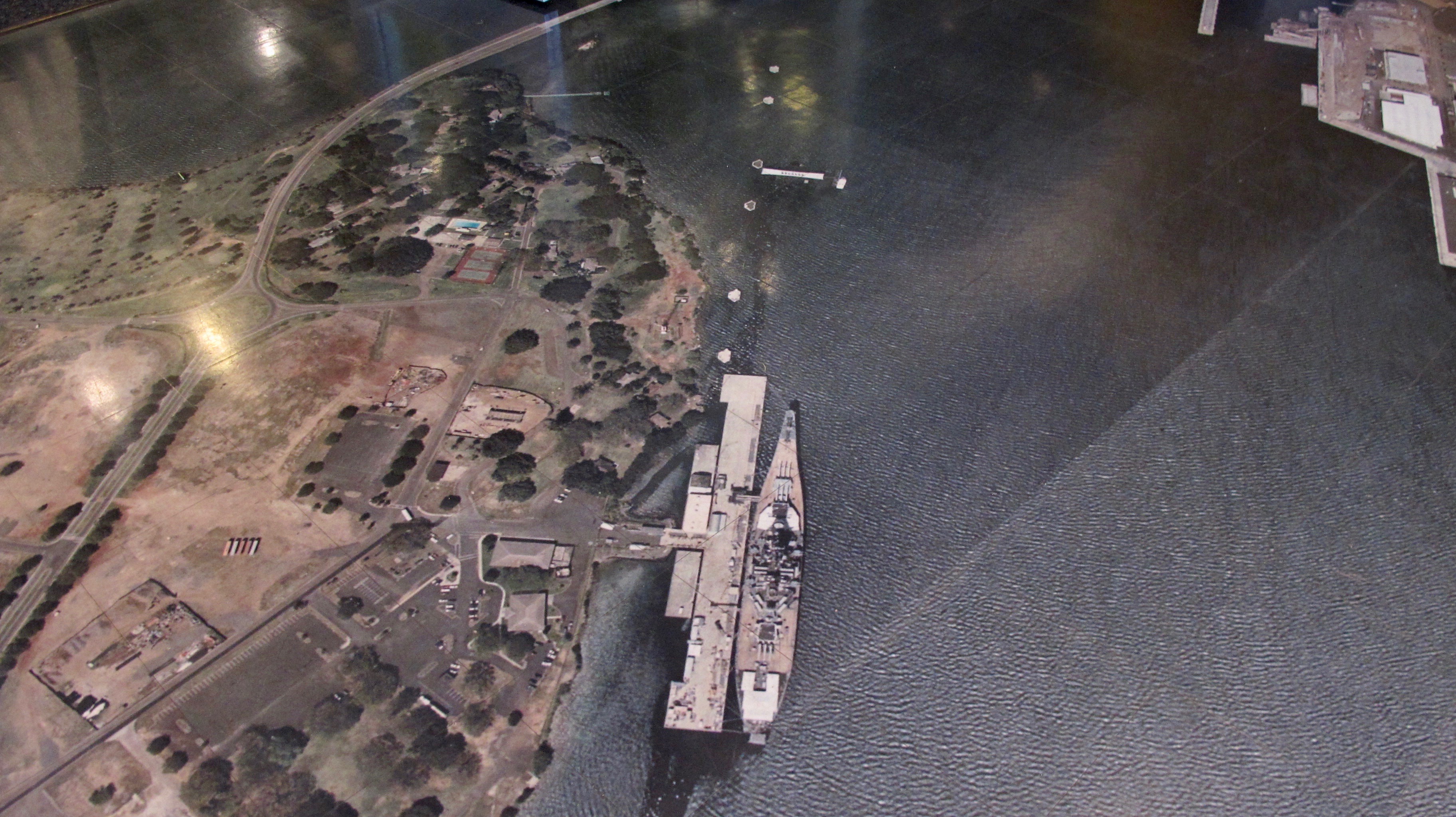
Our tour bus took us from the Missouri to the Pacific Aviation Museum. It is housed in pre-WWII aircraft hangars and displays aircraft from WWII on. The lobby floor is very unique in that it is an aerial photo of Pearl Harbor as it is today. It is tiled but you can hardly see the seams. This portion is looking down on the USS Missouri, the Arizona Memorial and the two white spots above the Arizona mark where the USS Nevada was moored.

These Hangar 79 windows still have bullet holes from the December 7, 1941 attack. The Navy continued to use the hangar as a repair facility but never repaired the holes to remind the sailors they were working in a combat zone.

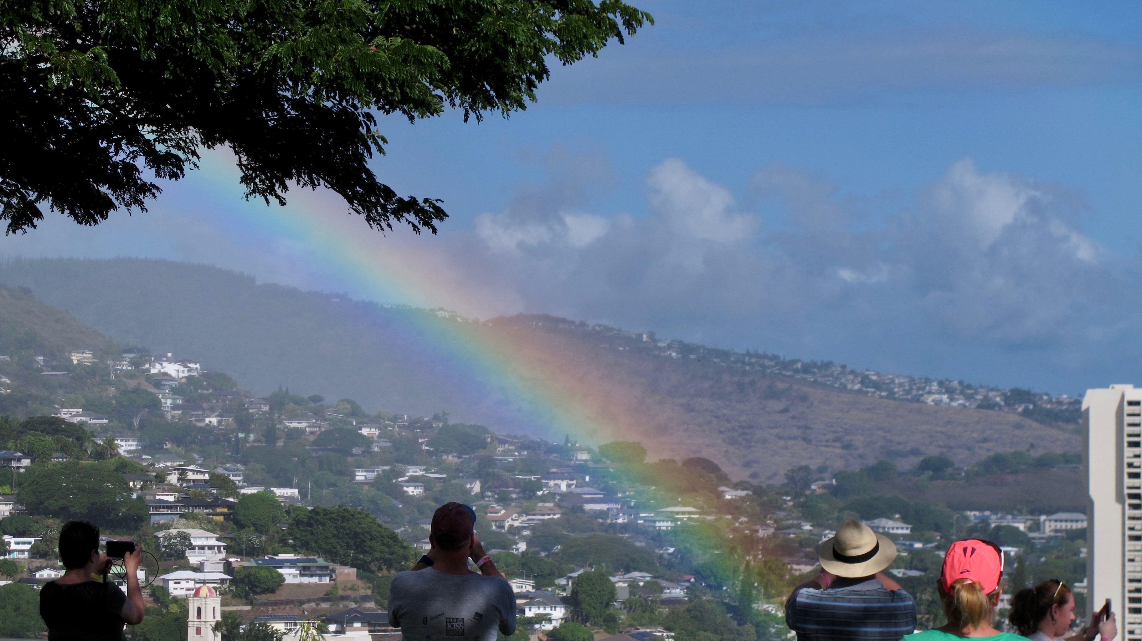
Our bus then headed toward downtown Honolulu and the National Cemetery of the Pacific (Punchbowl Crater). Due to previous issues with tour buses, we were not allowed to wander around the cemetery but we did drive around the grounds and did see Ernie Pyle’s grave between two unknown soldiers. We got to stop just outside the cemetery grounds and take pictures of a pretty rainbow that seemed so close that we could almost touch it.

As I took this picture, I wondered what the ancient Hawaiians would say about this jungle of massive buildings beside their beloved Diamond Head.

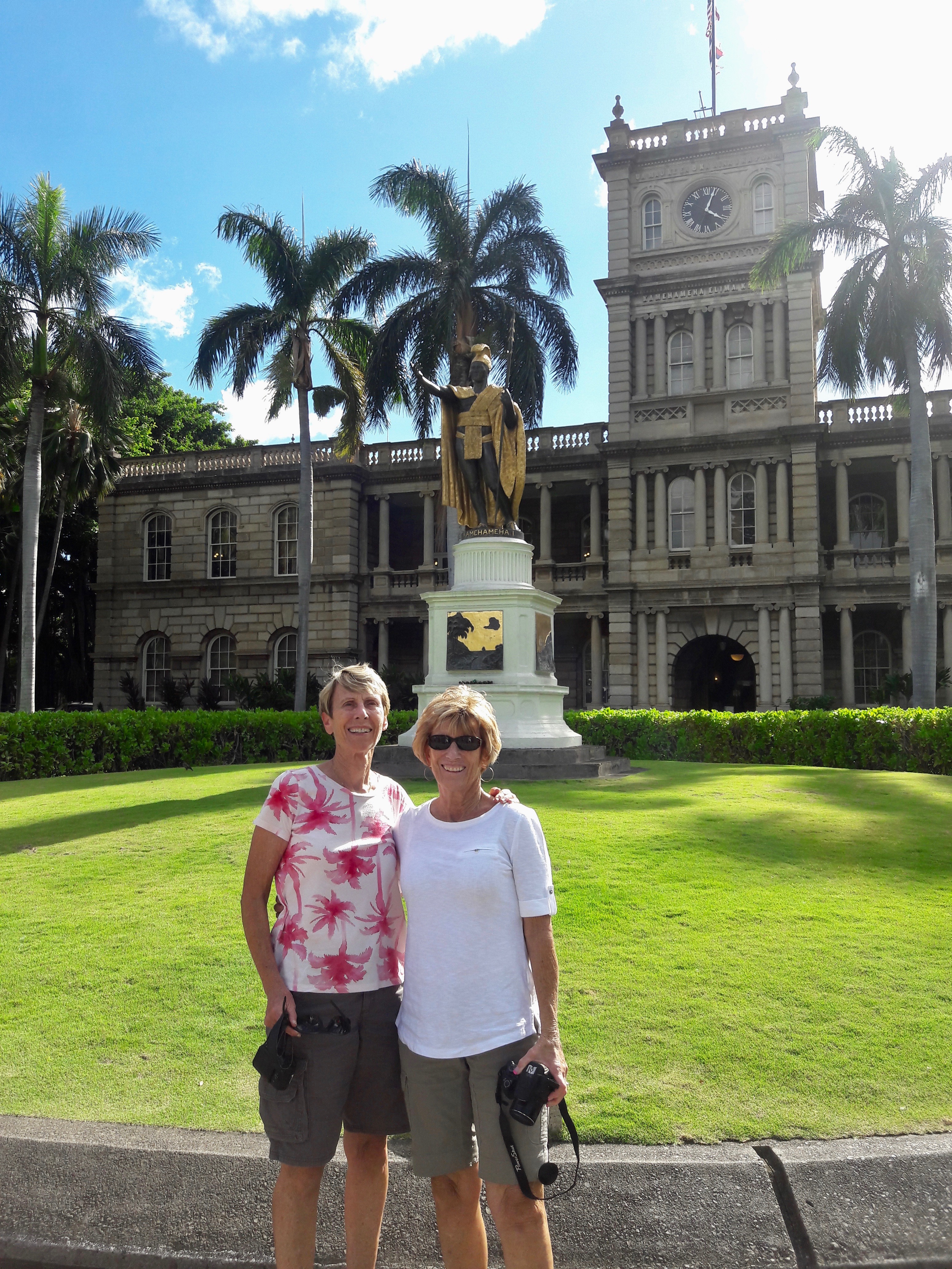
The next morning, Jerri and I visited the Ali’iolani Hale, home of Hawaii’s Supreme Court and the King Kamehameha V Judiciary History Center. It was originally designed to be a palace but King Kamehameha V decided that the need for a government building was greater. Finished in 1874, the building was one of the first of its kind to use pre-cast concrete. You might recognize the building as a backdrop for “Hawaii 50.”

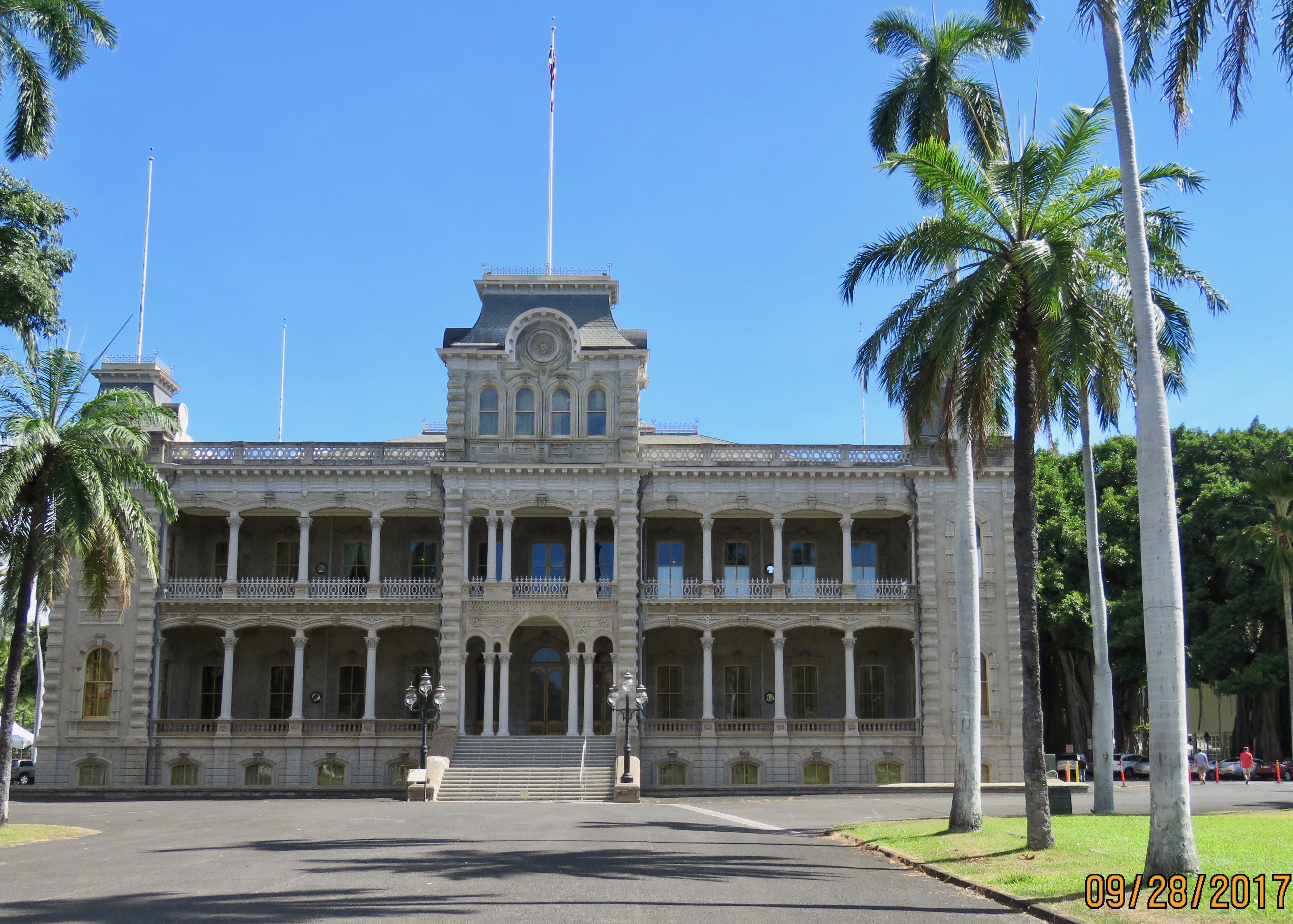
We walked across the street to visit the Iolani Palace, the only royal palace on US soil and the only place where the Hawaiian flag flies alone. The ʻIolani Palace was the royal residence of the rulers of the Kingdom of Hawaii beginning with Kamehameha III under the Kamehameha Dynasty (1845) and ending with Queen Liliʻuokalani (1893) under the Kalākaua Dynasty, founded by her brother, King David Kalākaua.

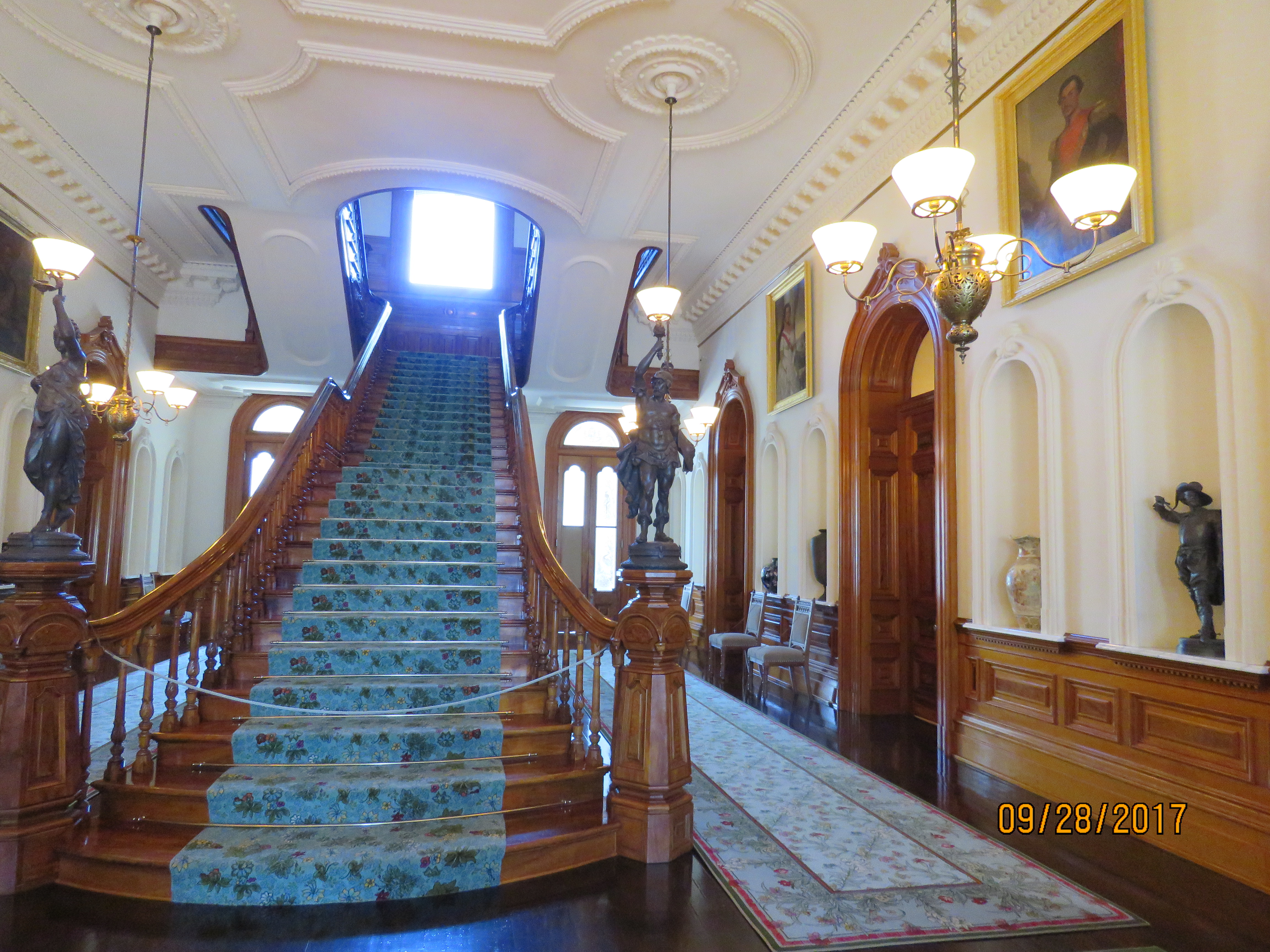
The entry hall staircase to the living quarters. It is made from native Hawaiian koa wood.

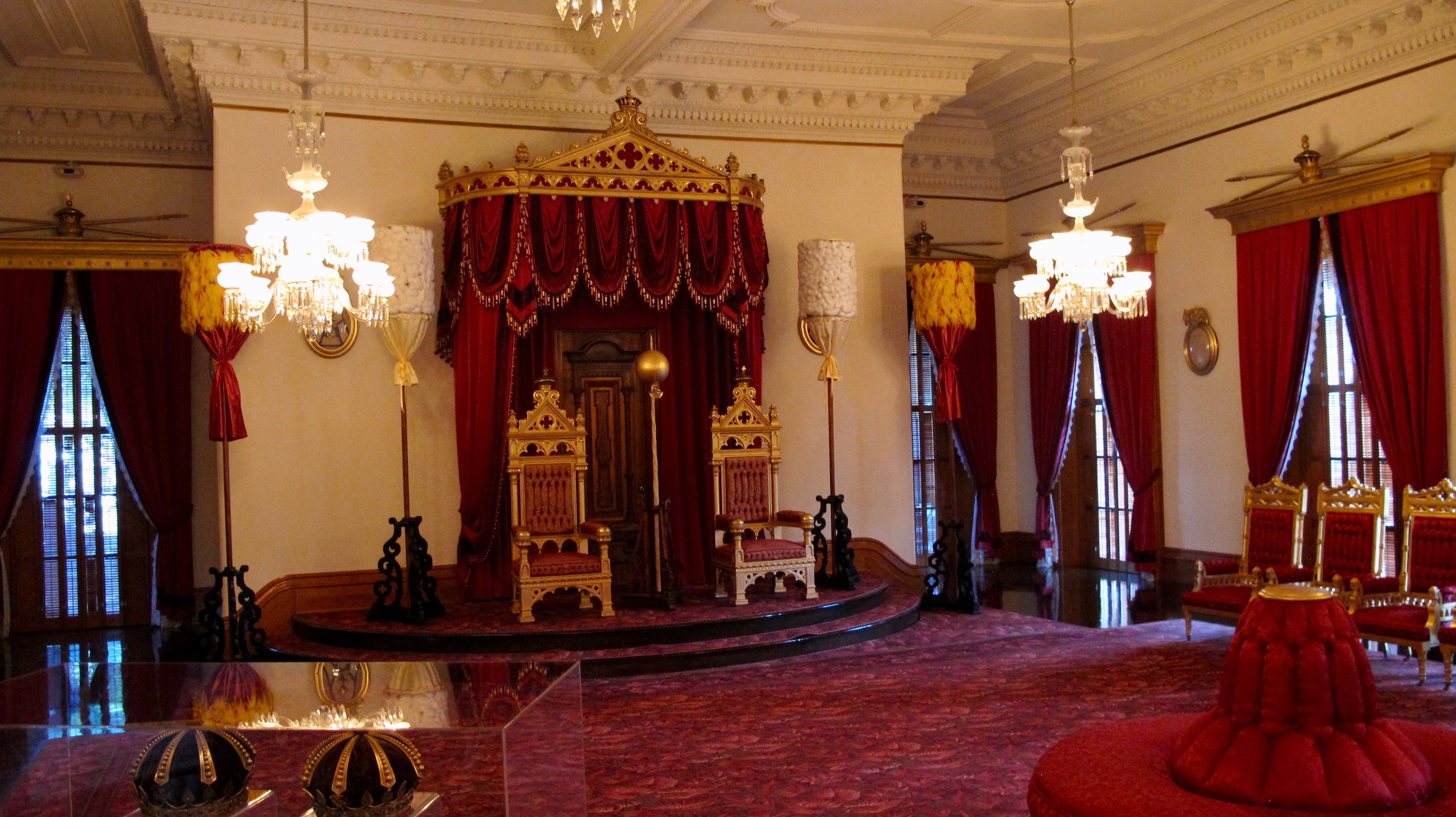
The throne room

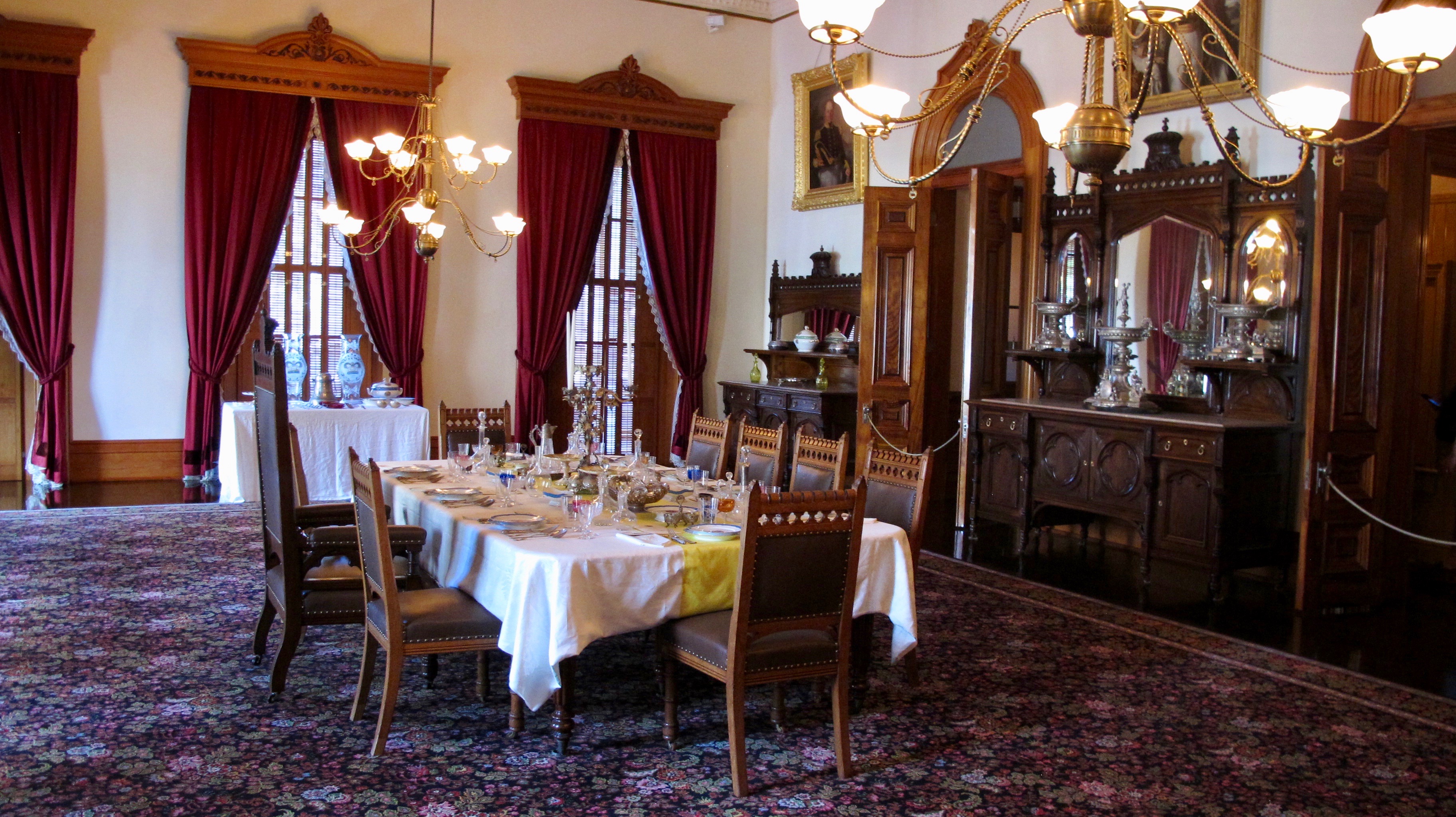
The dining room

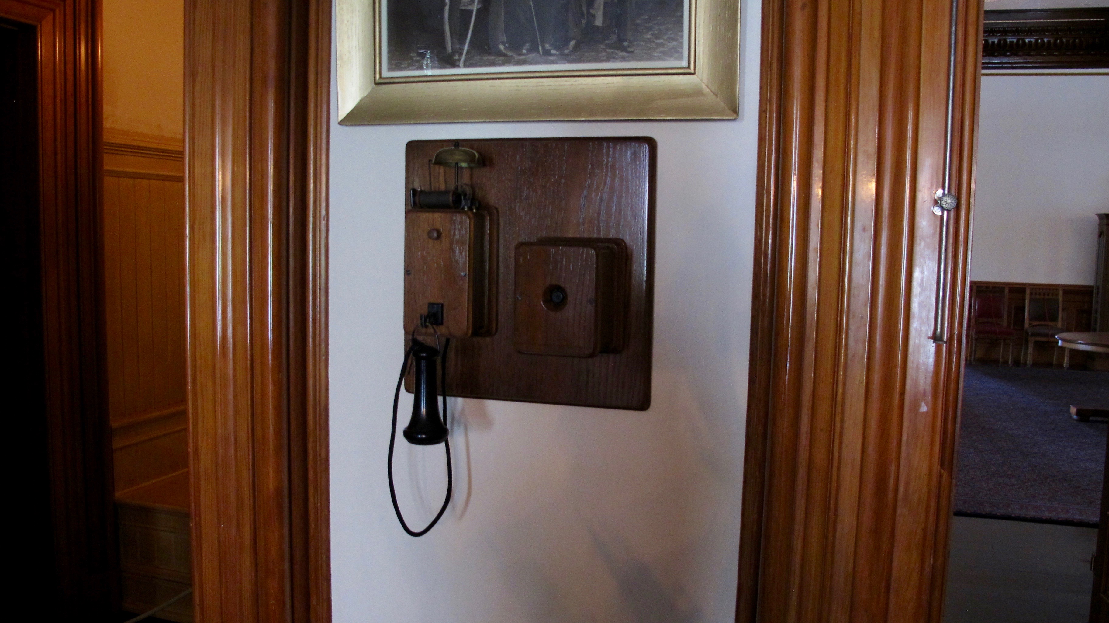
The ‘Iolani Palace had telephone service, electricity and indoor plumbing before much of mainland USA did.

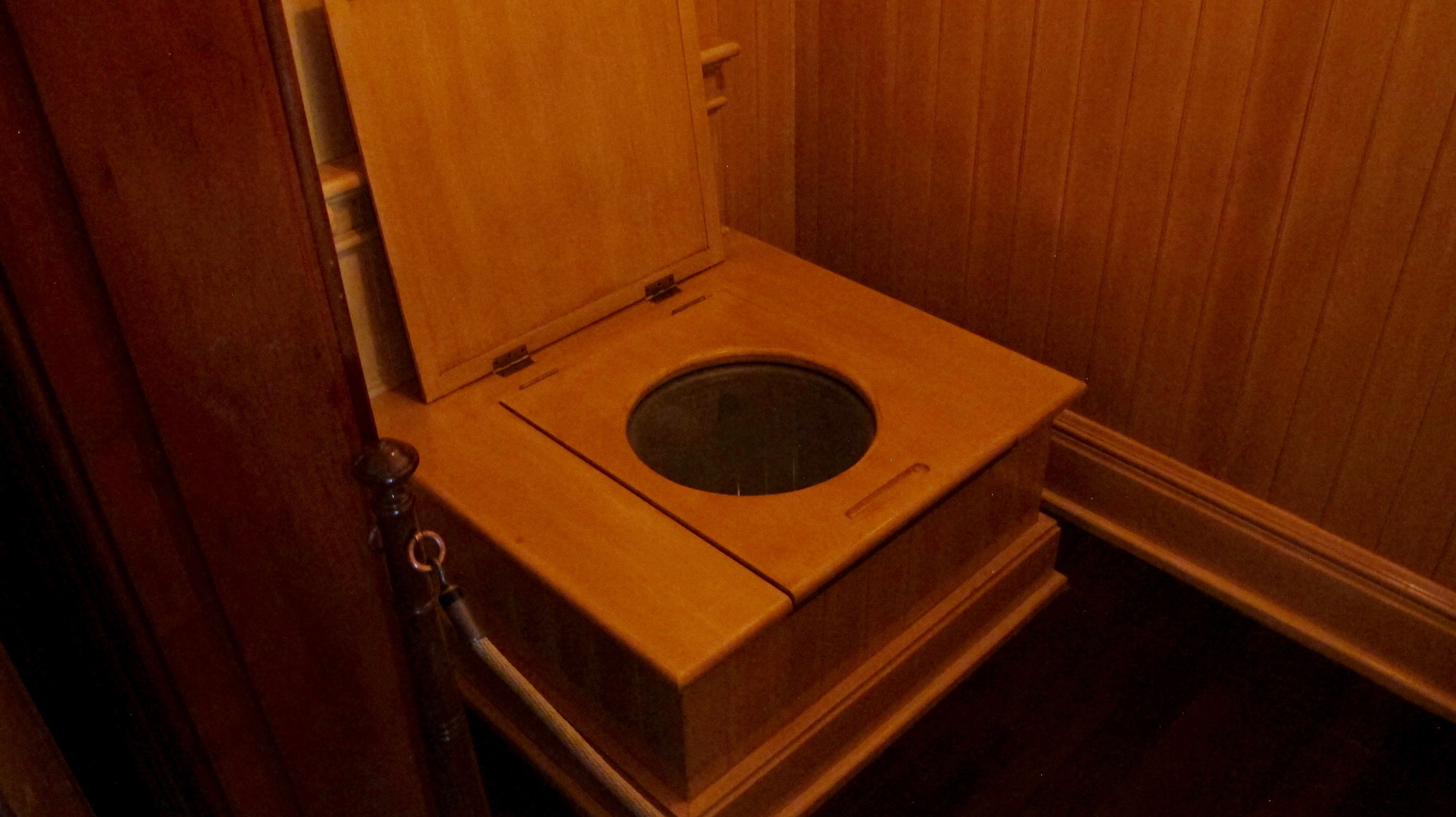
The royal john

We flew over to Maui to begin the VERY relaxing portion of our Sister Trip. Our very first Maui sunset was taken from Leilani’s at Kaanapali. Jerri was hooked right then and there with Hawaii. She loves clouds and sunsets.

View from our condo at Kaleialoha (courtesy RDS)

Our first Maui morning found us at Kapalua Beach fighting for a parking spot in the very small public lot. We finally had to walk the equivalent of a city block after finding one. Soon we were in the water and very quickly, Jerri became an ace at finding the honu (sea turtles).

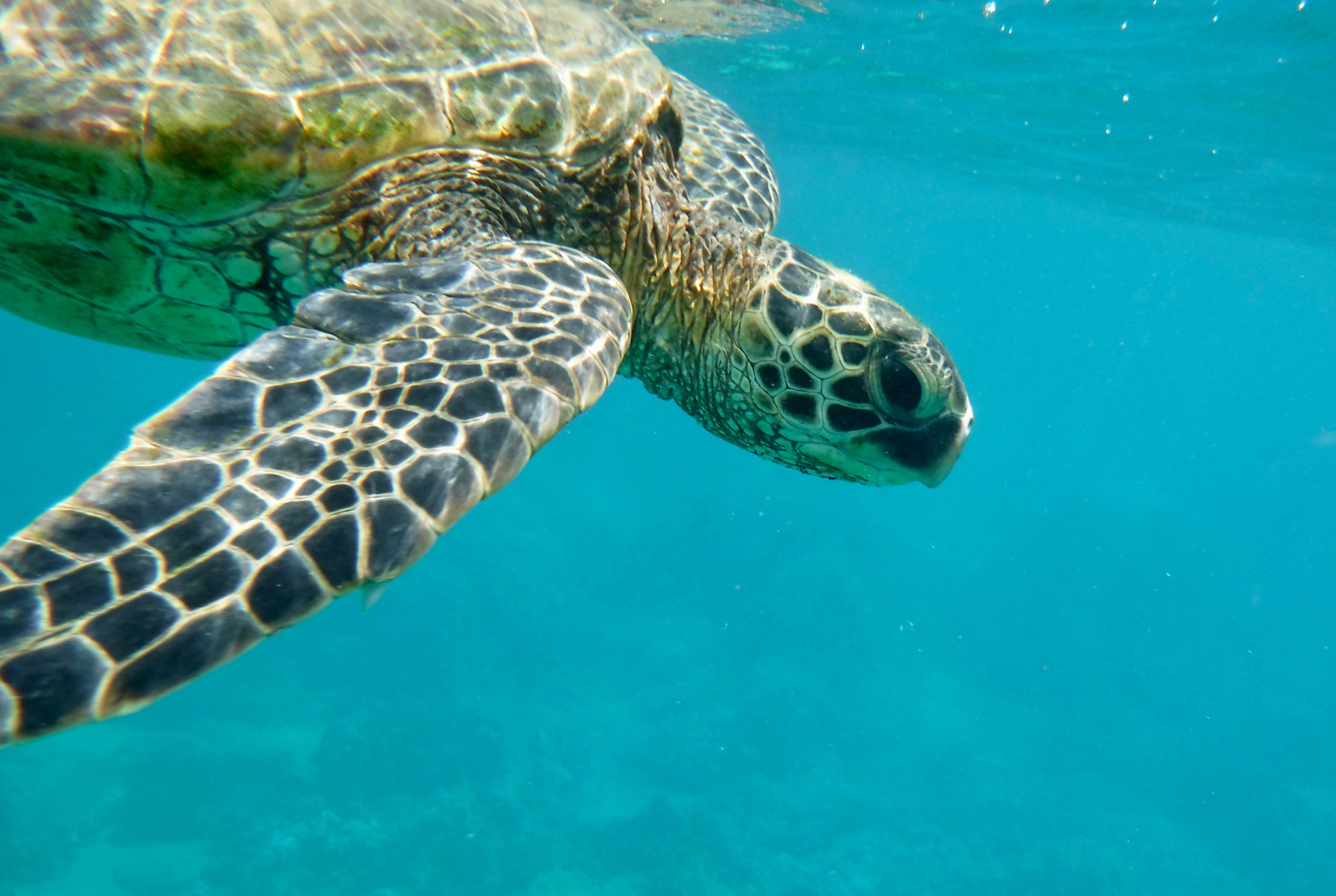
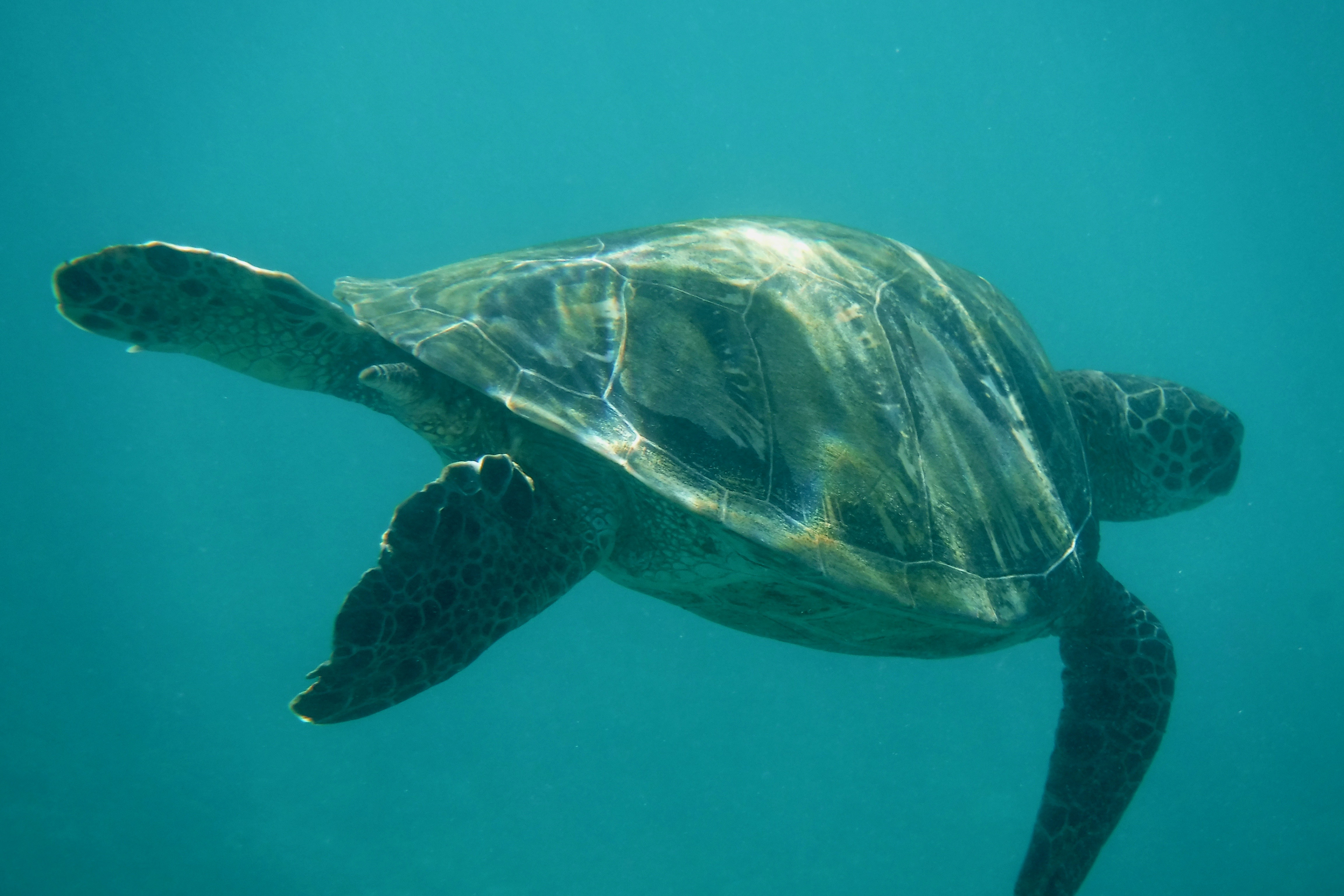
A green sea turtle.

It was so awesome to swim with them.

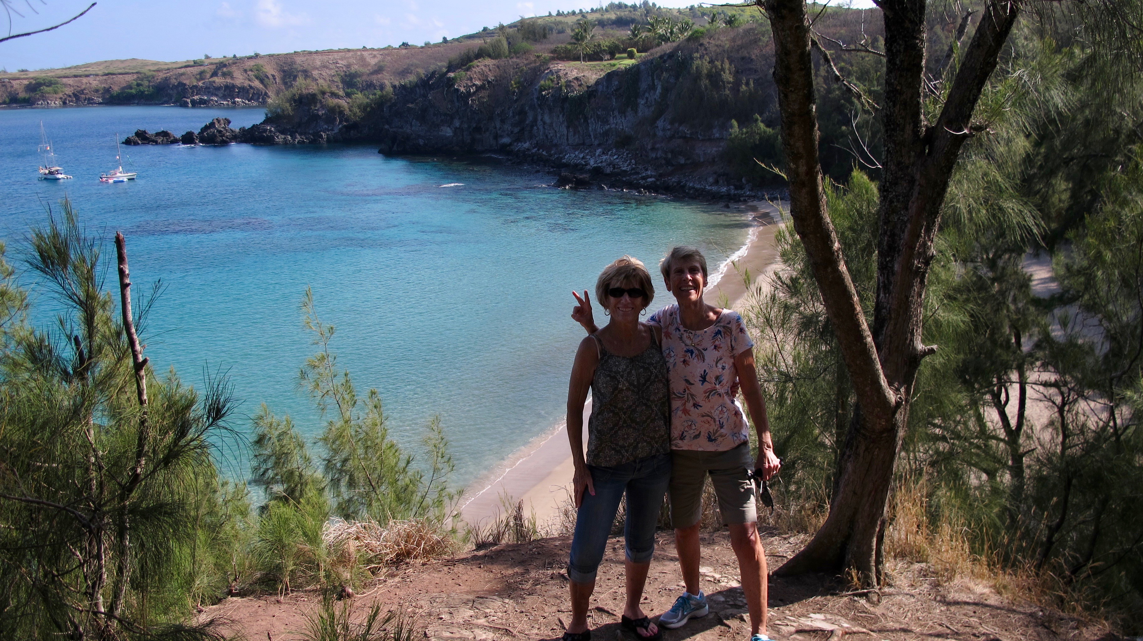
On the bluff above Slaughterhouse Beach.  No one was murdered there.  A slaughterhouse used to be a distance away to the right of this photo.

We drove around the north side of Maui, not a well traveled, very skinny (one lane in some cases) road that sometimes hangs on a cliff. It’s a challenge and Jerri did a great job of traversing that stretch of road. Here we are above Honolua Bay.

We drove a bit farther and looked back at much of the development that has occurred in the last 30 years on the west side of Maui. It makes me sad but I understand why it’s being done.

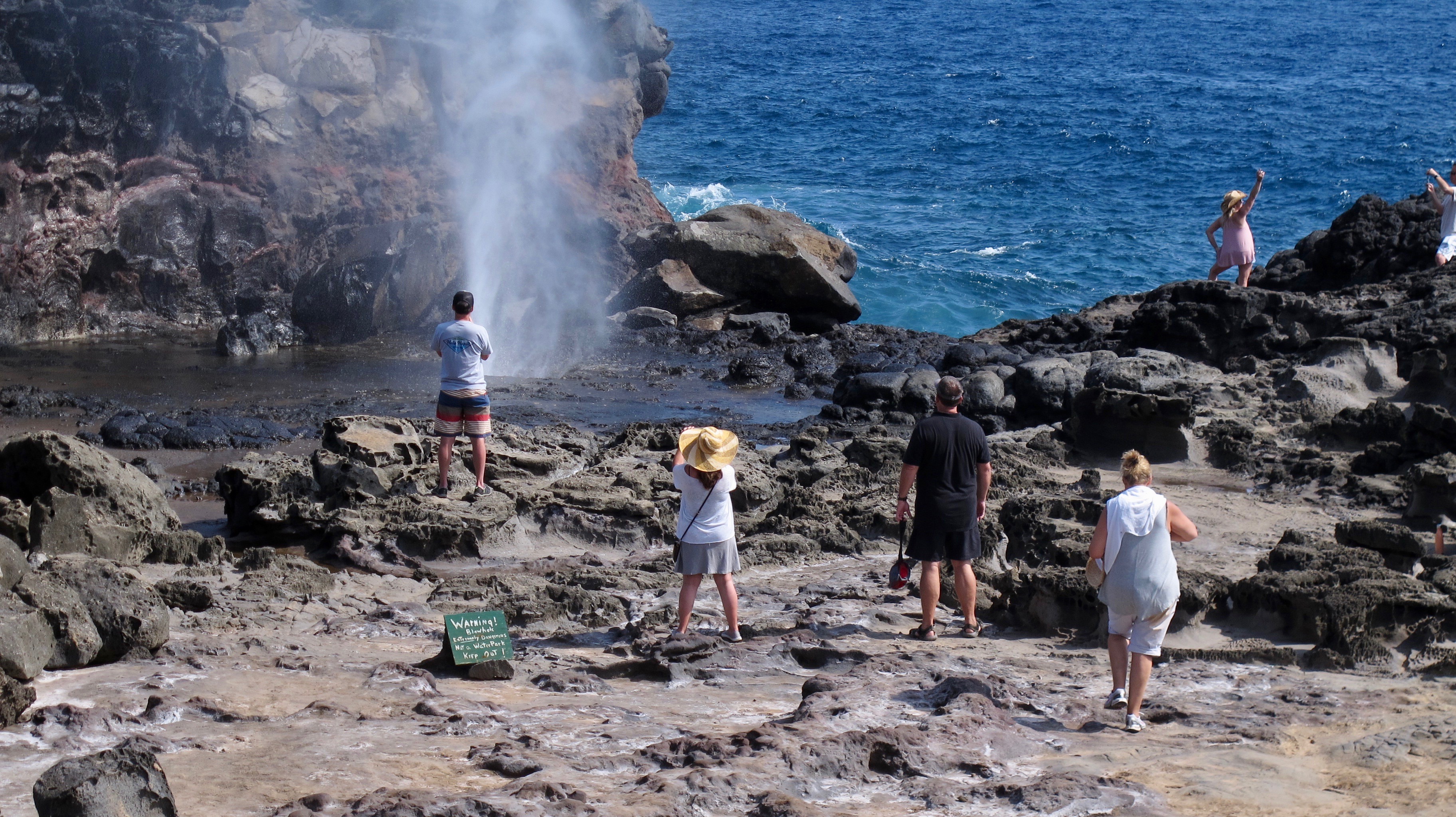
North of the development, the landscape returns to a natural setting with tiny settlements along the way. We stopped at the Nakalele Blowhole. The surf and tide weren’t just right to make it blow a giant spume. But it was big enough for us.

The “path” going back up to the car after seeing the Nakalele Blowhole. We had to rest a bit before getting back up to the top.

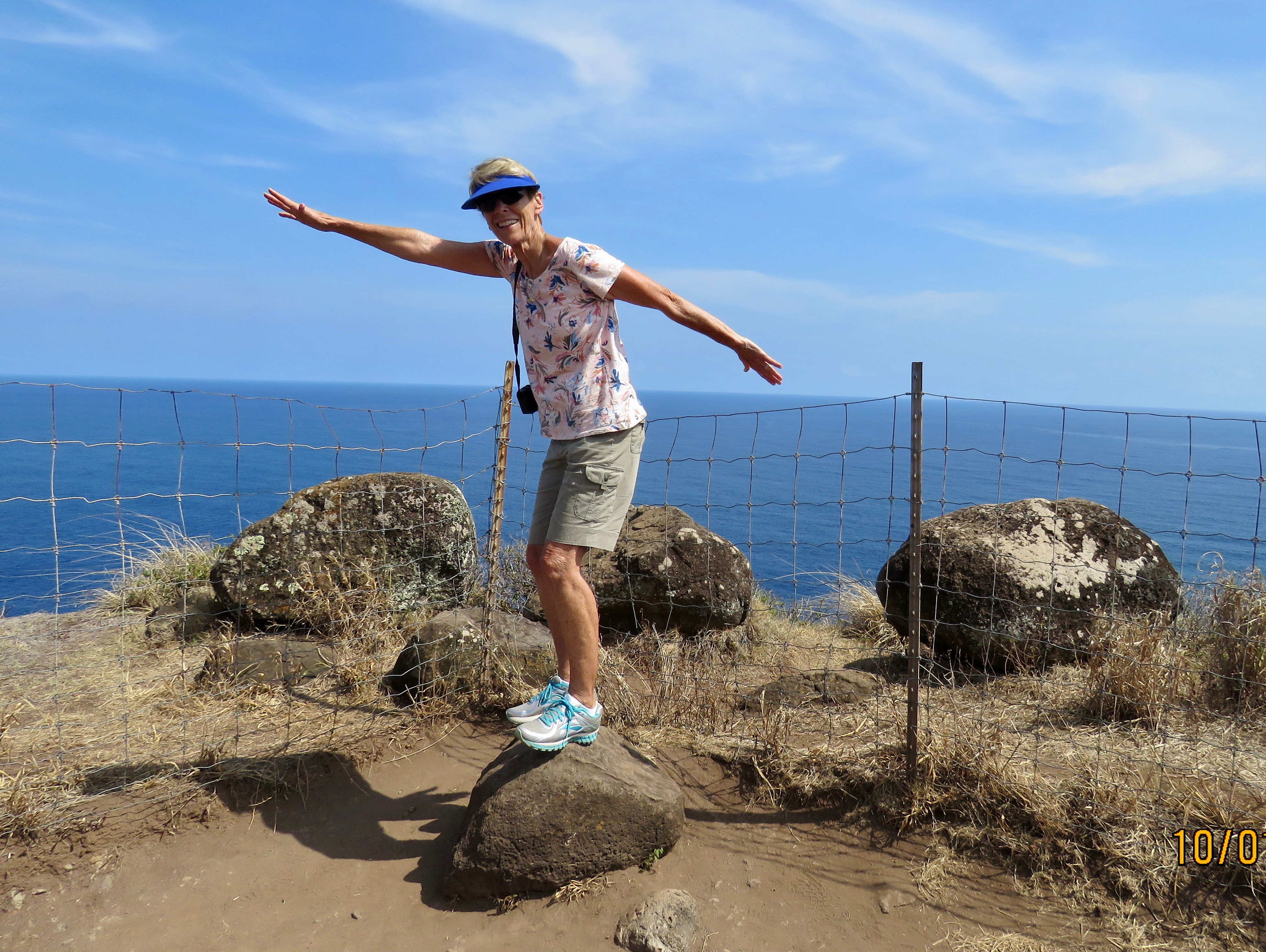
Rock surfing

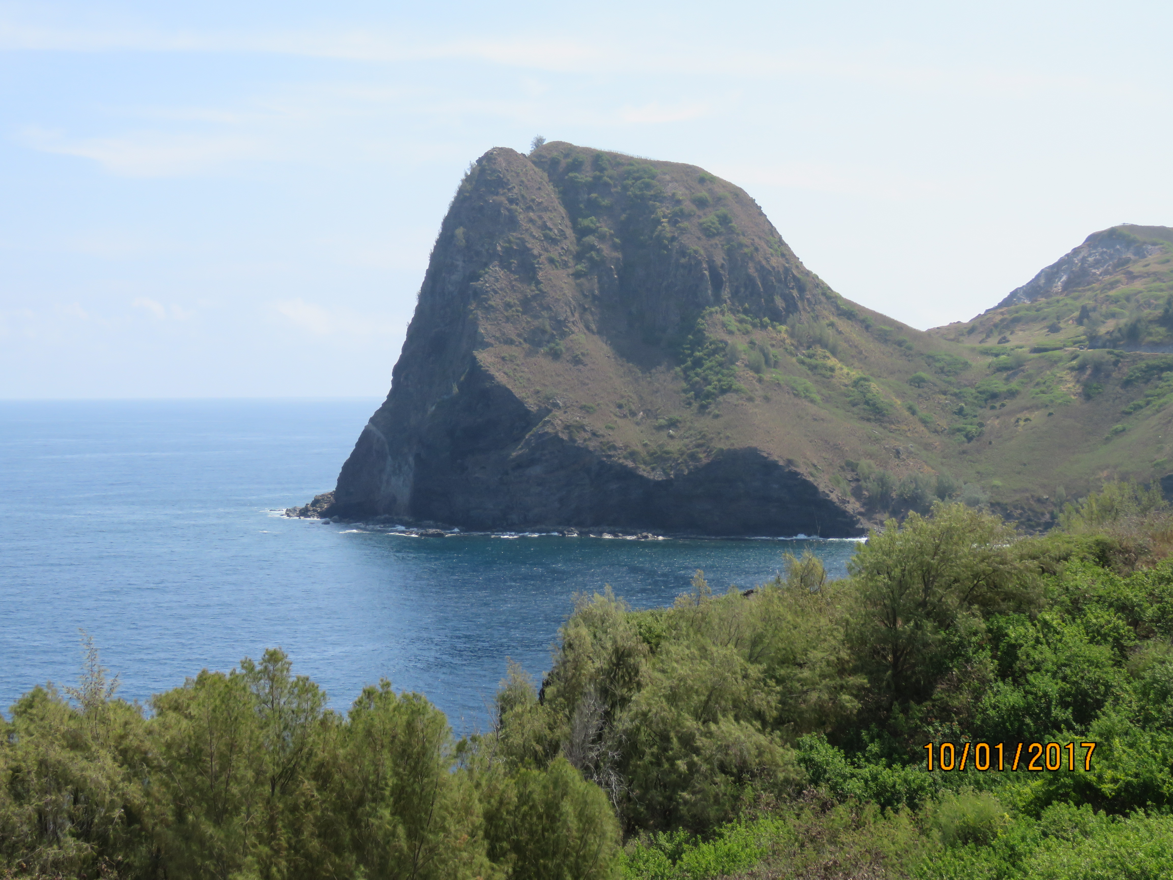
Kahakuloa Head (636’ straight out of the ocean) towers over the tiny village of Kahakuloa. The quite narrow one lane road finally ends here. The road then passes through the valley between the two peaks in the picture.

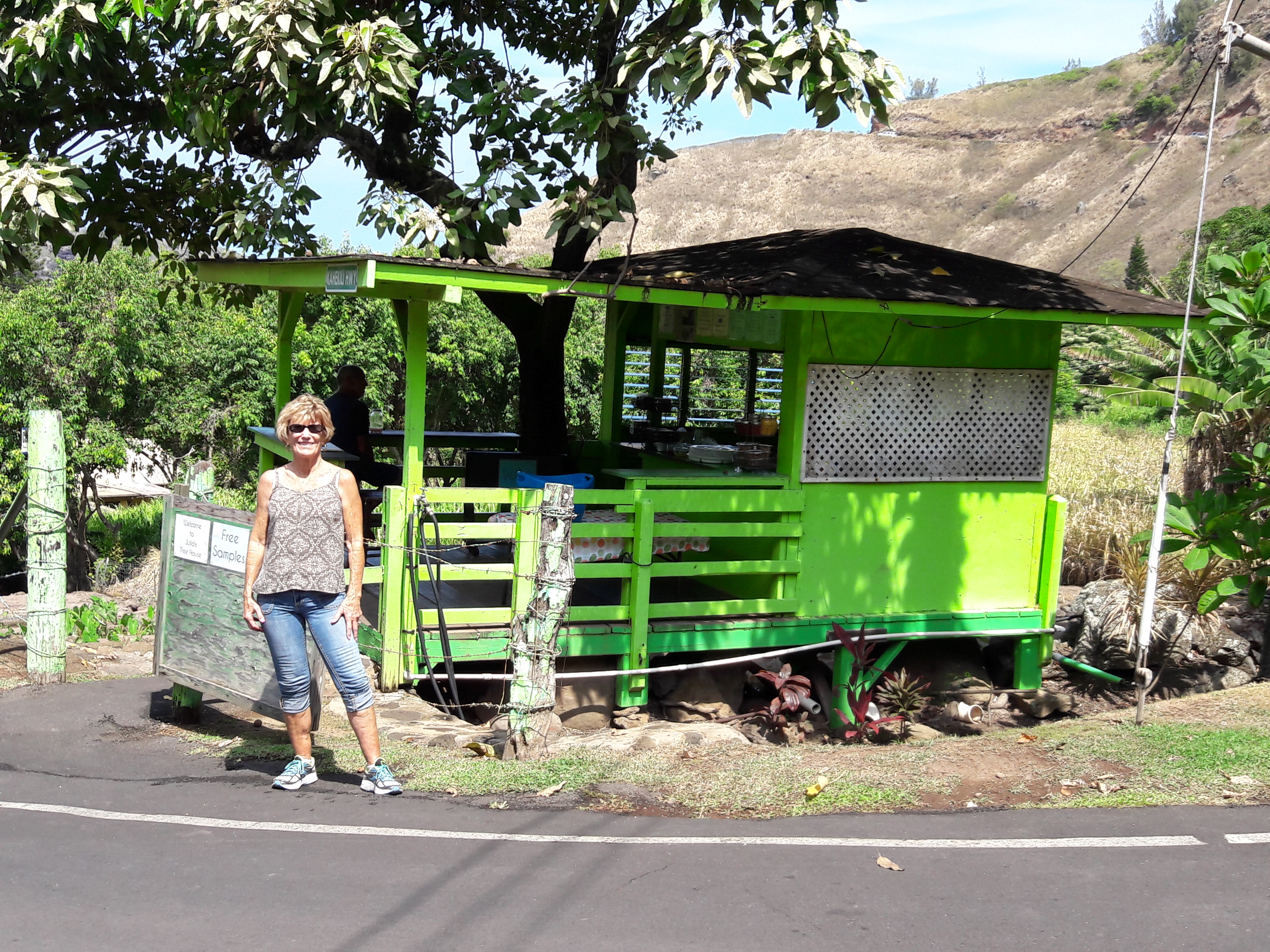
Julia’s in the ”tree house” as she calls it is THE highlight of Kahakuloa. She bakes marvelously tasty banana bread that we sampled and then, of course bought a loaf. It was so good for breakfast!

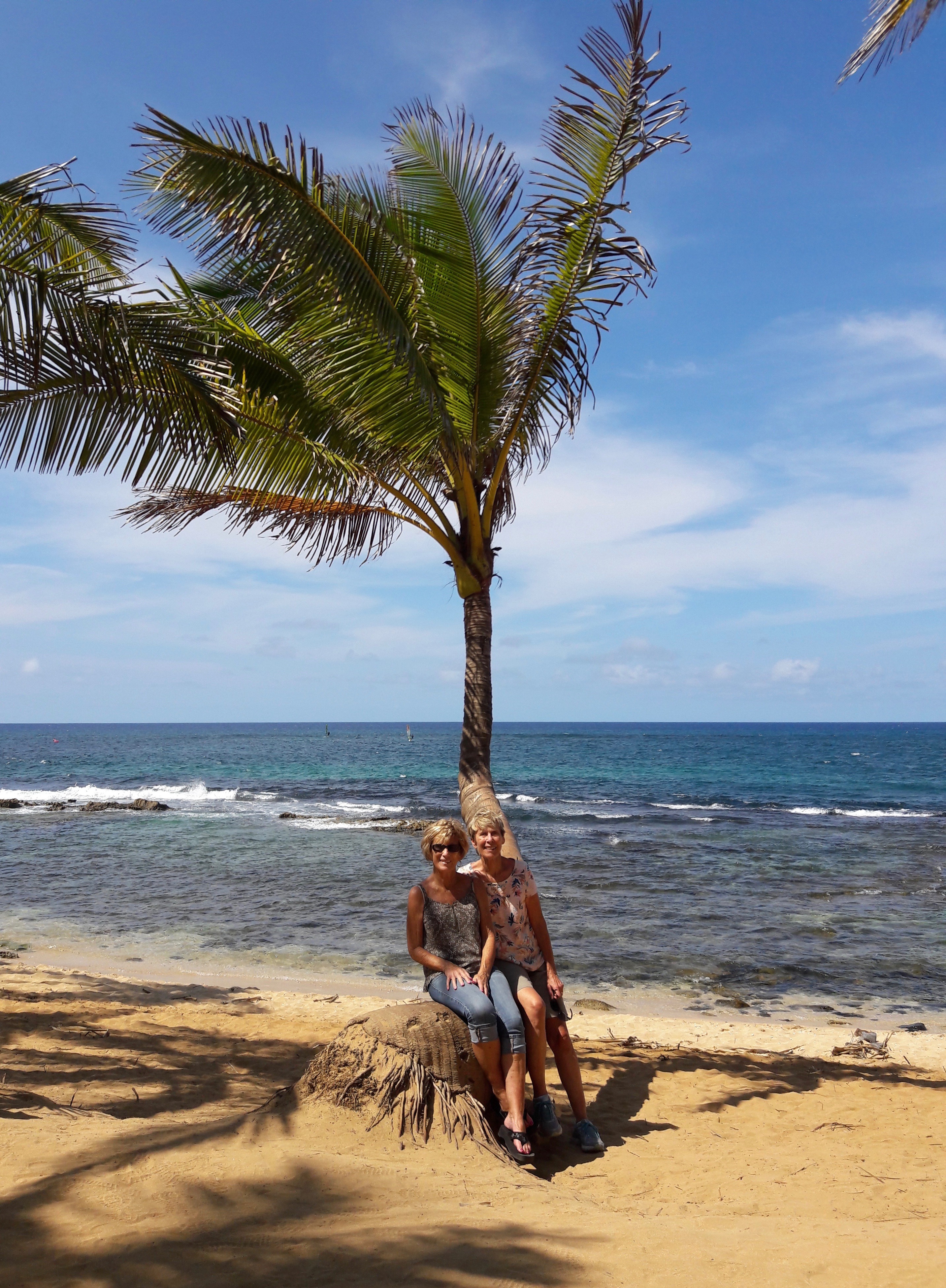
We really enjoyed the road around the north side of Maui as there was so much beauty to be seen that is much different than the highway that most people take. It was a much slower pace (although the top speed limit in Maui is 55 mph) that we liked. Our final destination was Mama’s Fish House in the little town of Pa’ia (still living in the Age of Aquarius…it’s a fascinating place). Mama’s is famous and we were lucky to get reservations on a Sunday afternoon. We’re waiting for our table at the edge of this beautiful little beach. If you look closely to the left of our palm tree, there are two wind surfers in the ocean. This area is famous for great wind surfing.


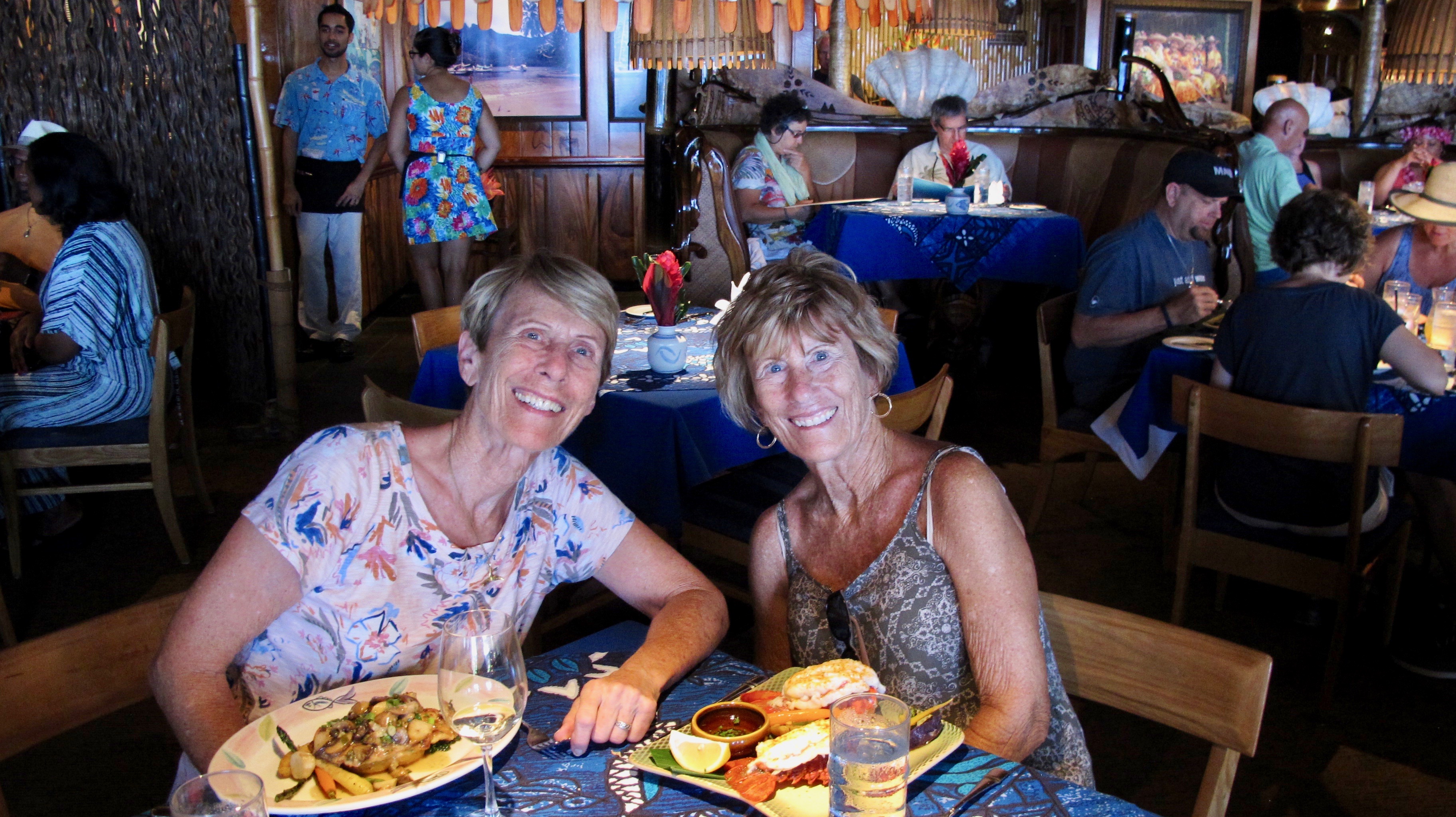
Our dinners were just served. Every bite was a gourmet’s delight. Jerri said it was the best lobster she’d ever eaten. My fish was no slouch either.

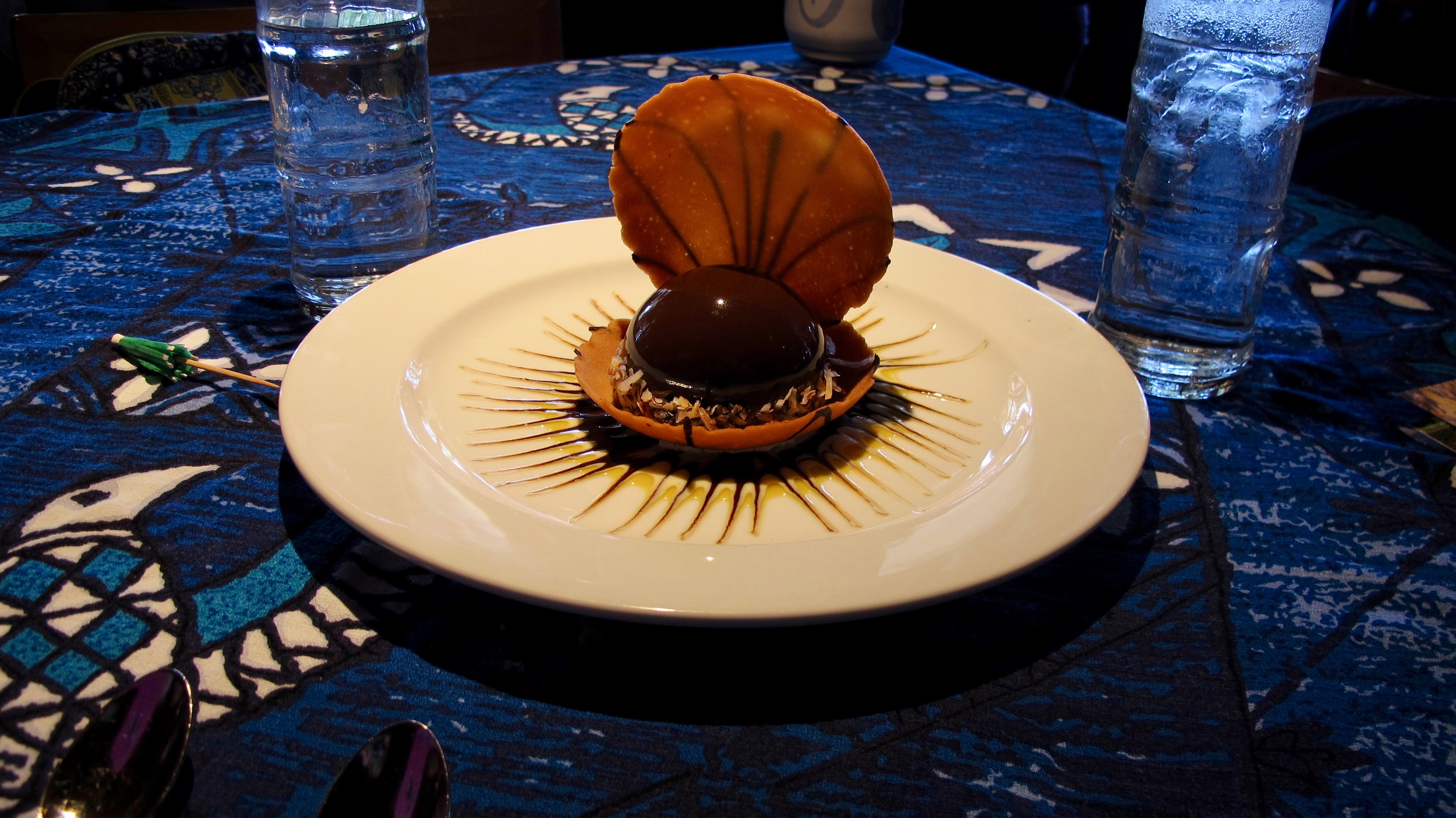
The Black Pearl was our luscious, out of this world dessert. One just can’t beat Mama’s for a superb meal!

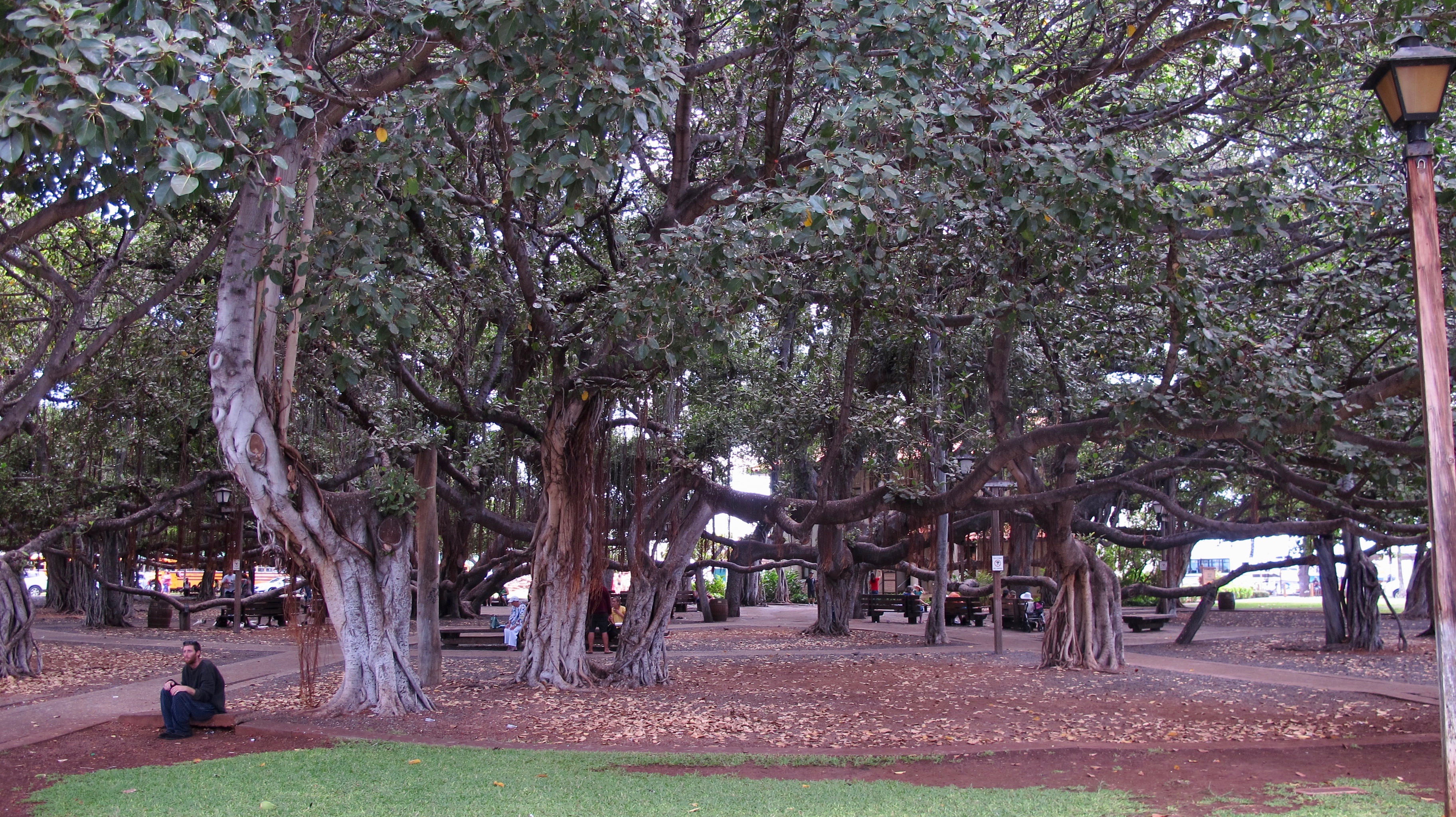
After we visited every ABC Store (the go to place for souvenirs and anything else you can think of) in Lahaina (and other towns in Hawaii), we visited its world famous banyan tree. Believe it or not, this tree is all one tree even though it looks like many.

Since snorkeling was our favorite activity on this trip, we spent our last day seeing as many honu as possible at Kapalua. It was early on a weekday and we still had to fight for a parking space.

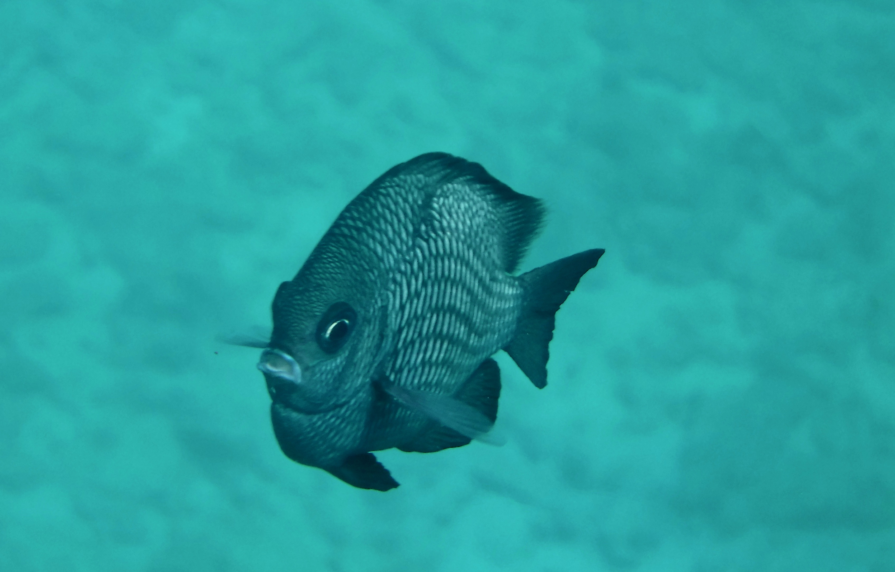
We saw many fish, but no sharks, porpoises, octopi or whales. This is a domino damselfish, about 3” long.

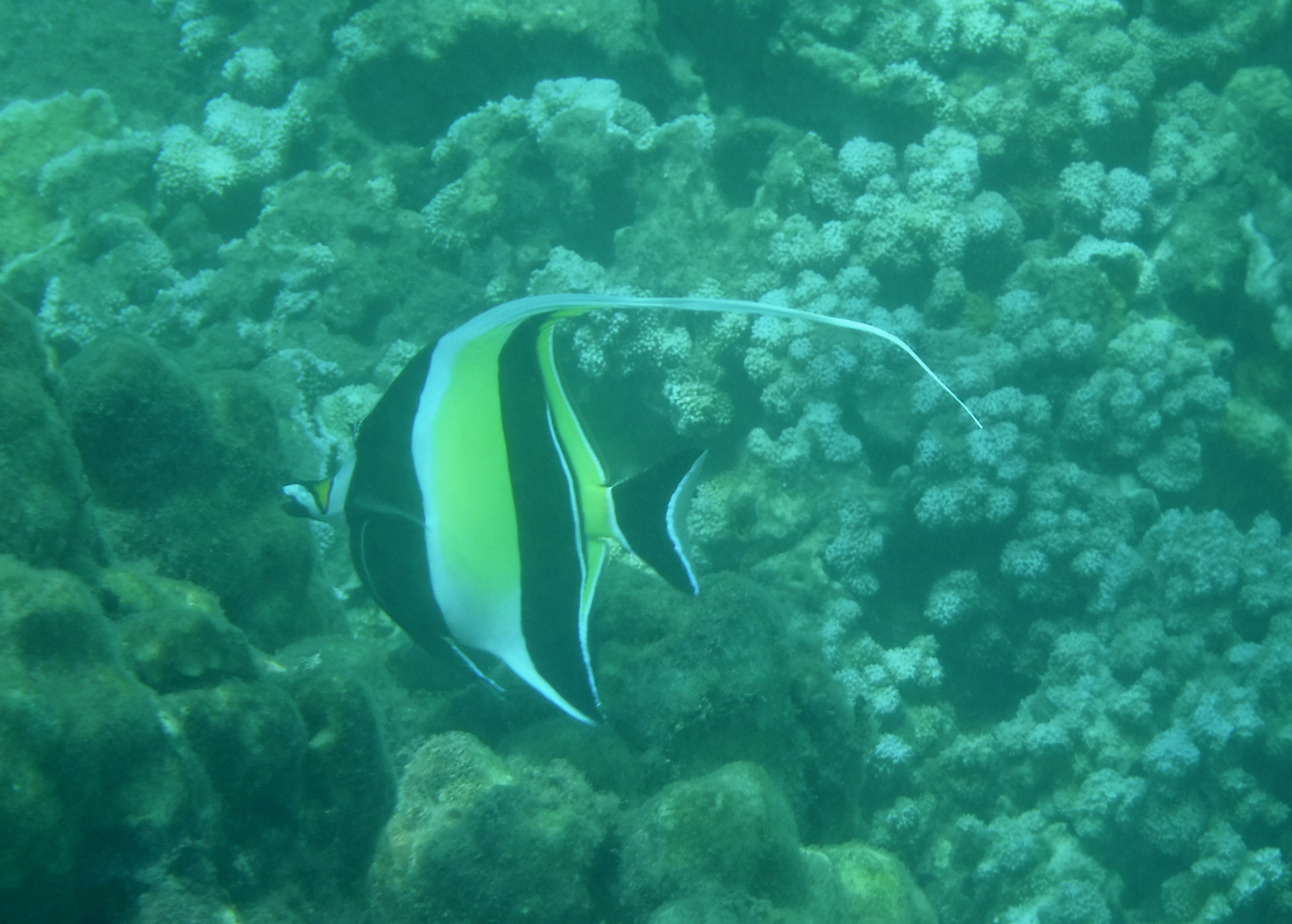
An elegant Moorish Idol

All these fish were feeding on coral and rocks. There is a coronetfish (the long, skinny one in back), a yellow tang, zebra surgeonfish, and black surgeonfish. There are probably more, but they are not clear. (Don’t forget to click on the photo to enlarge it if you can’t see it clearly)

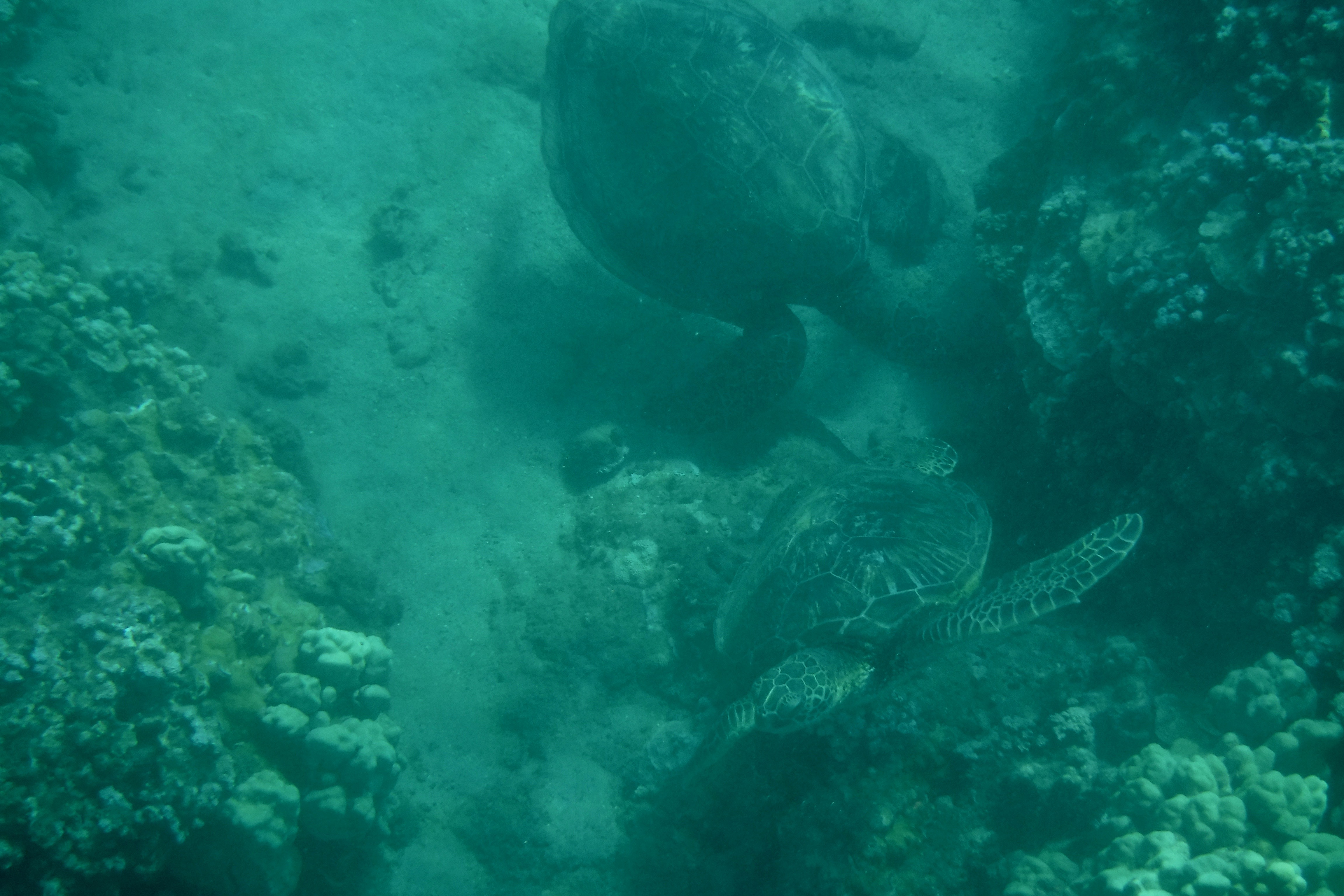
Then we hit the jackpot! A large (we called him Grandpa) honu swam under Jerri and went over to a large rock with coral on it. We had discovered they like to rest/sleep in divots in the sand at the edge of these rocks. Pretty soon, Grandpa tried to get a much smaller honu out of the place he wanted to sleep in. You can see Mama is in the picture also.

Baby didn’t like that but got out. He nipped Grandpa on the flipper and after some nudging and sparring, decided discretion was the better part of valor.

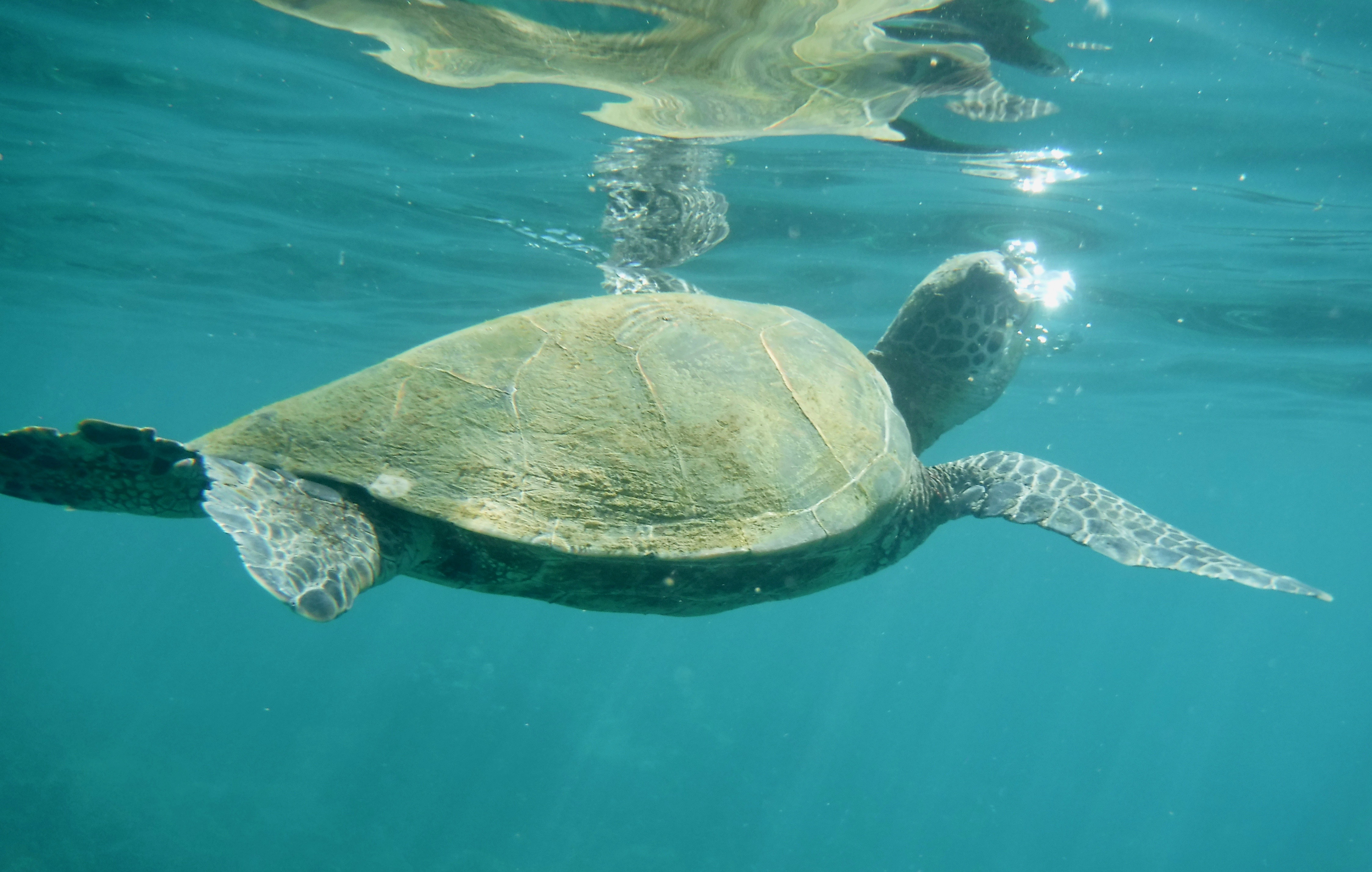
Baby surfaced for some air. They can stay underwater for 20 minutes to more than an hour.

He dove back down to try to get his place under the rock again.

Grandpa would have nothing to do with Baby and chased him away again. Baby finally decided to rest under another rock.

We watched this drama for probably 10 or more minutes. The beach was crowded and lots of snorkelers were in the water, but no one joined us or even came close our personal show. This happened several times, which made us happy but shows a lack awareness of many folks.

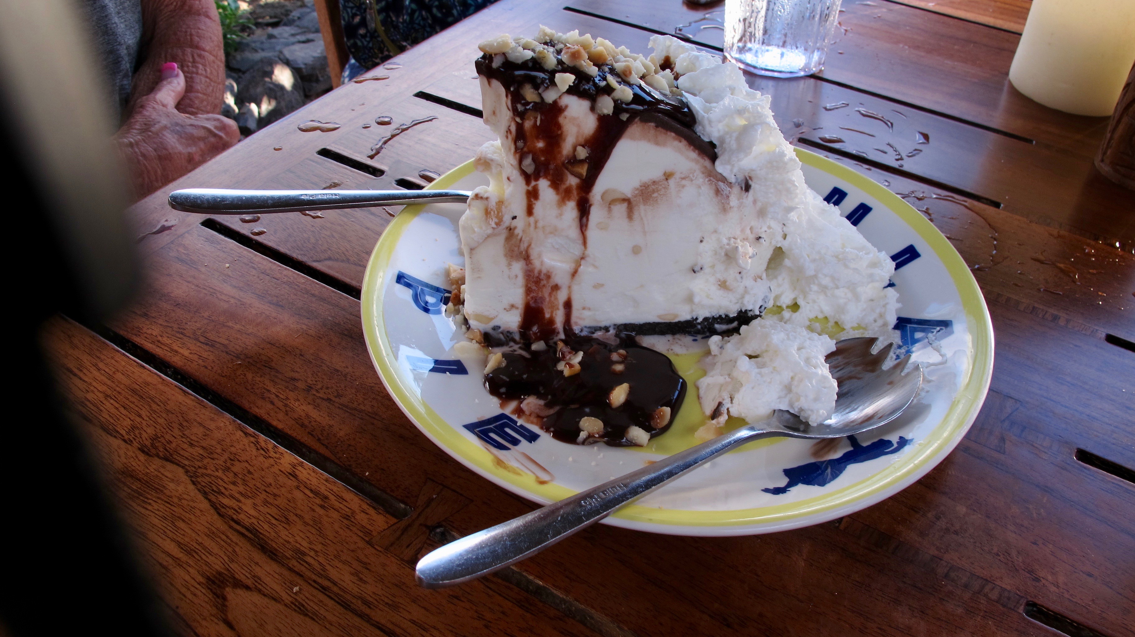
We went to Duke’s Beach House for dinner and to enjoy one last piece of Hula Pie. Dinner was good but Hula Pie is the best. Thirty years ago, I used to eat one whole piece by myself (I justified it by swimming several hours every day while we were there.) OMG! Times have changed.

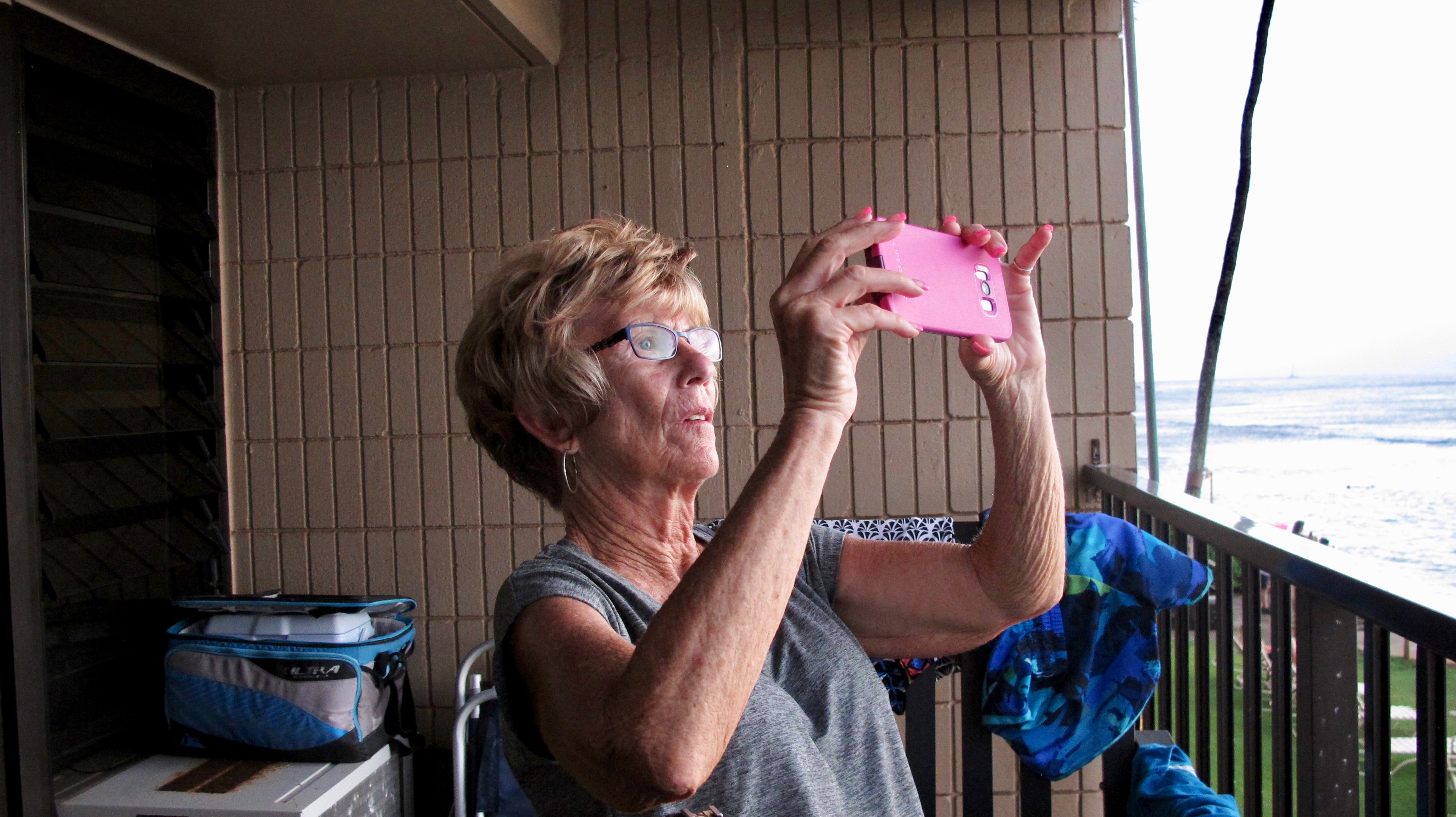
Jerri practicing for her sunset picture. 🙂

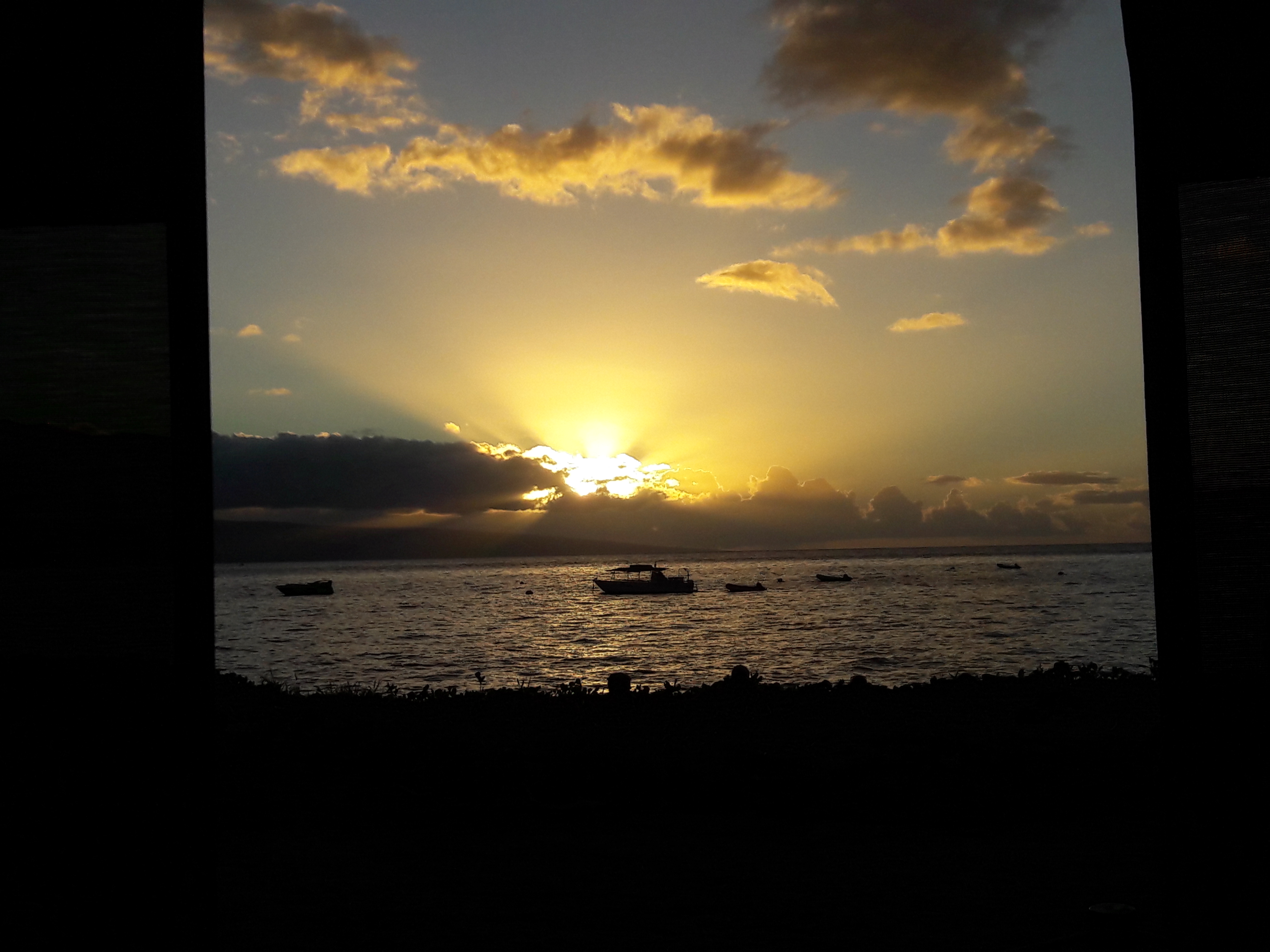
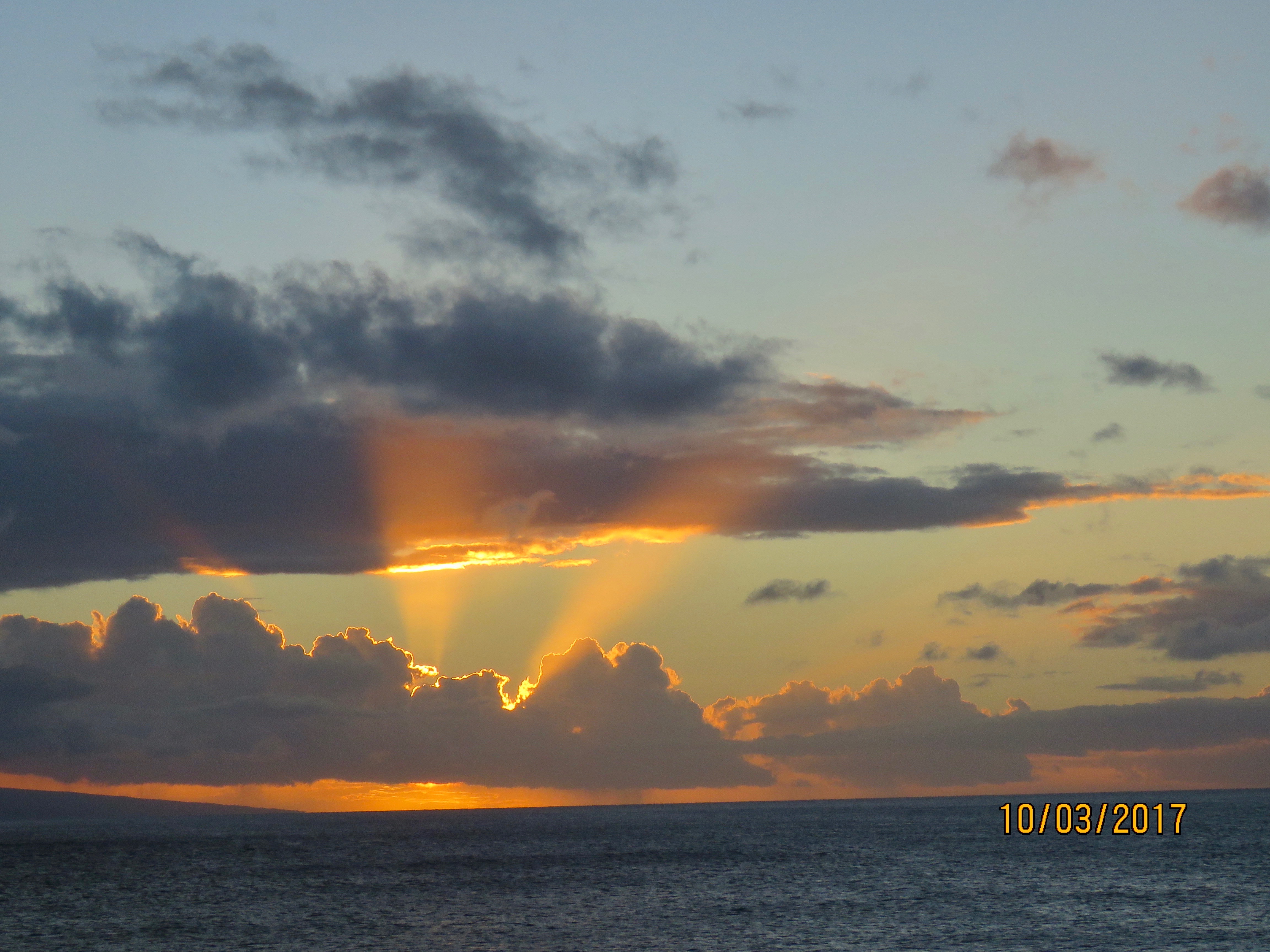
A gorgeous sunset for our last evening on Maui. Perhaps it’s two sunny searchlights beckoning us to come back?


Prime Time at the Jacobs Family Berry Farm September 19 to 22, 2017

9 Oct

Our first afternoon together began with the traditional gathering for catching up, discussion, laughs and wine. Funny how that works. (Don’t forget to click on the picture to see more details)

The next morning found us in the garden harvesting all the fruit and veggies that could be found. We did this because a good freeze was forecast for the next day and we wanted to save as much of the produce as possible. Diana and Dot are picking string beans.

Bill with a good zucchini he found.

The men were not being straw bosses while we picked. They were planning where to pound poles in the ground that would become the supports for tarps that would cover some of the produce too green to pick. The hope was to save the green fruit from the freeze.

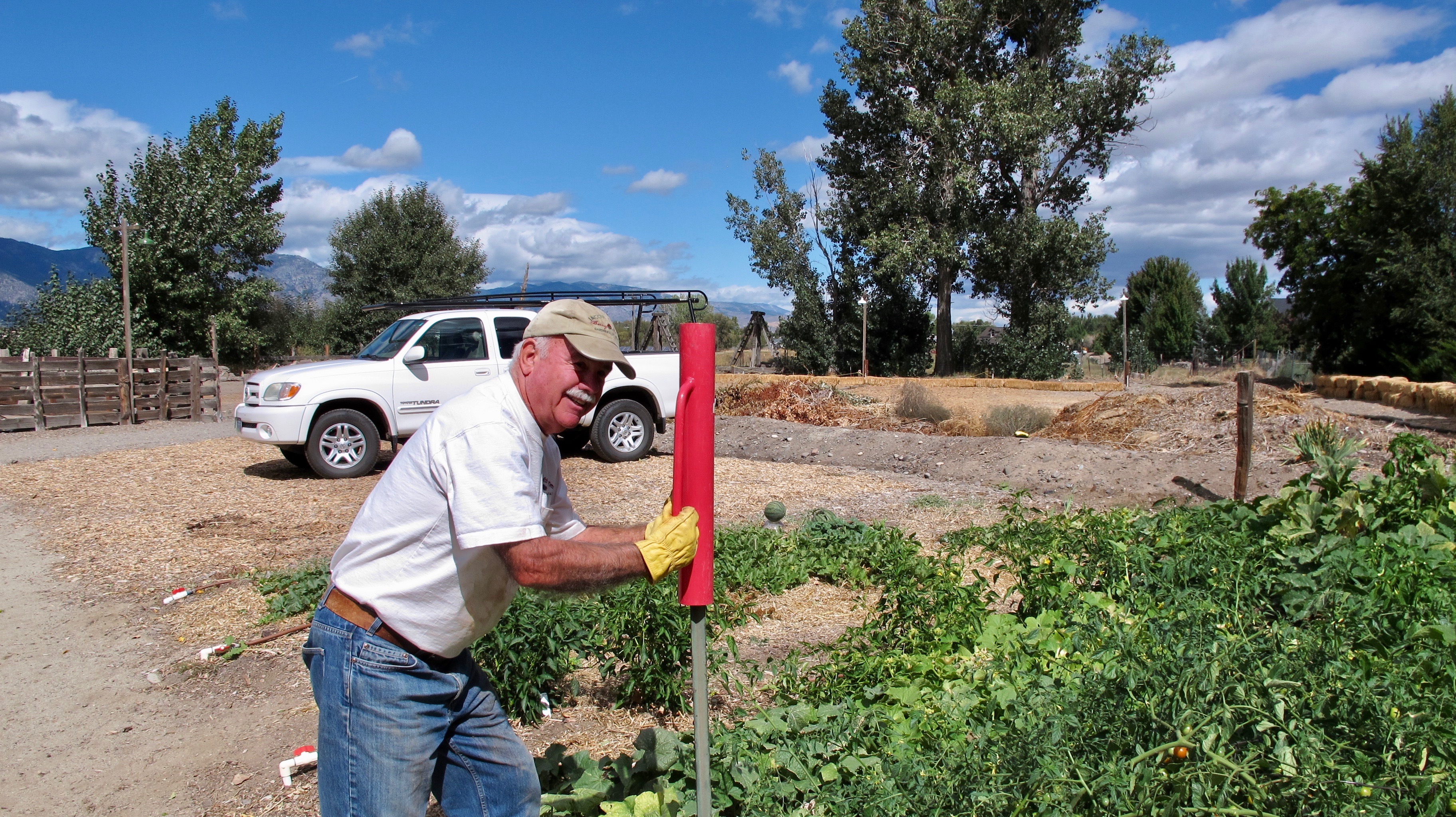
Jack and his stake pounder. I’m sure there is a proper name for the tool but it escapes me right now.

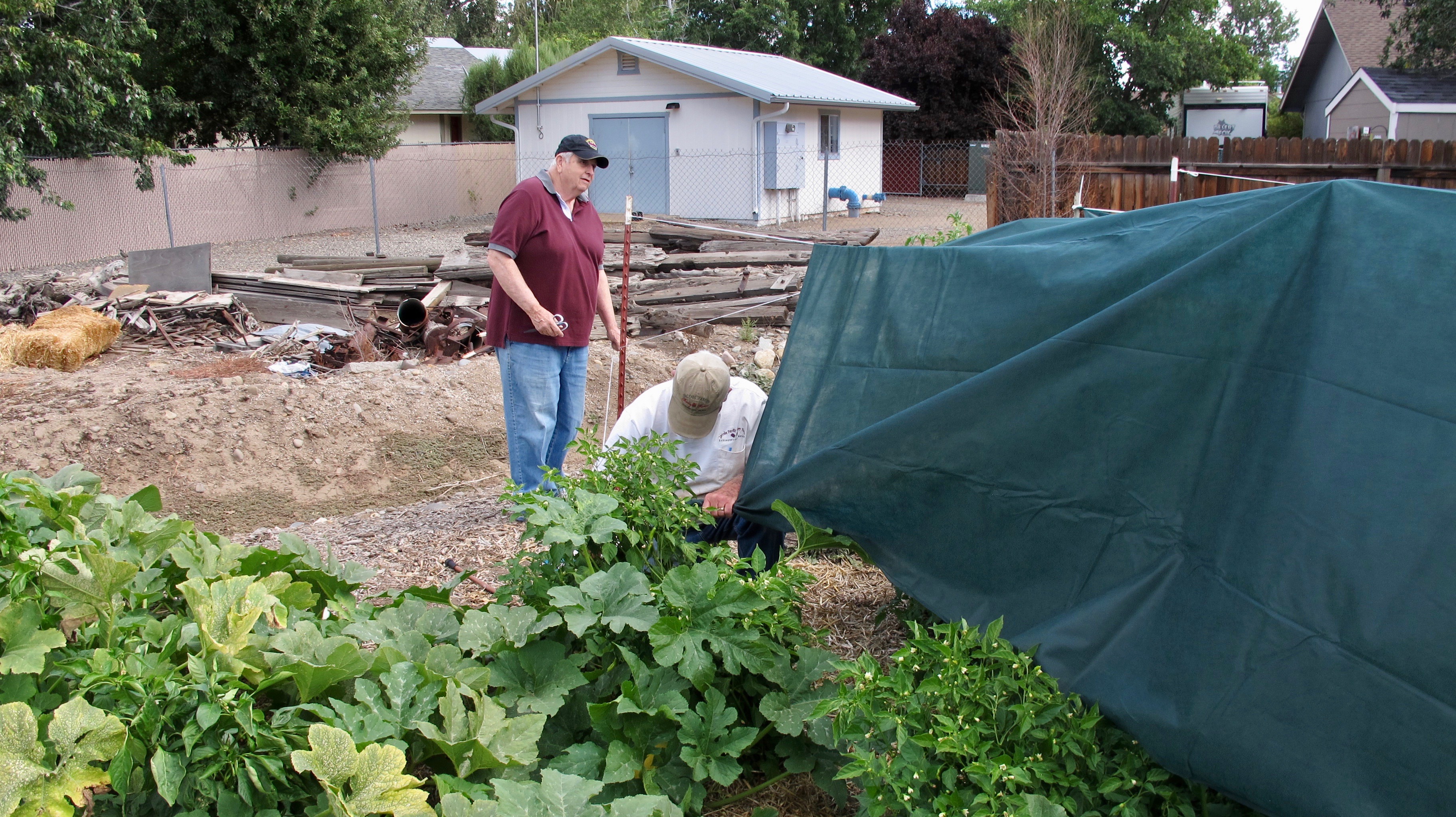
Tying down the tarps.  After all that work, the the freeze was too severe and none of the plants or produce survived.  That was a big disappointment.  None of the berries survived either.  That was a bigger disappointment.

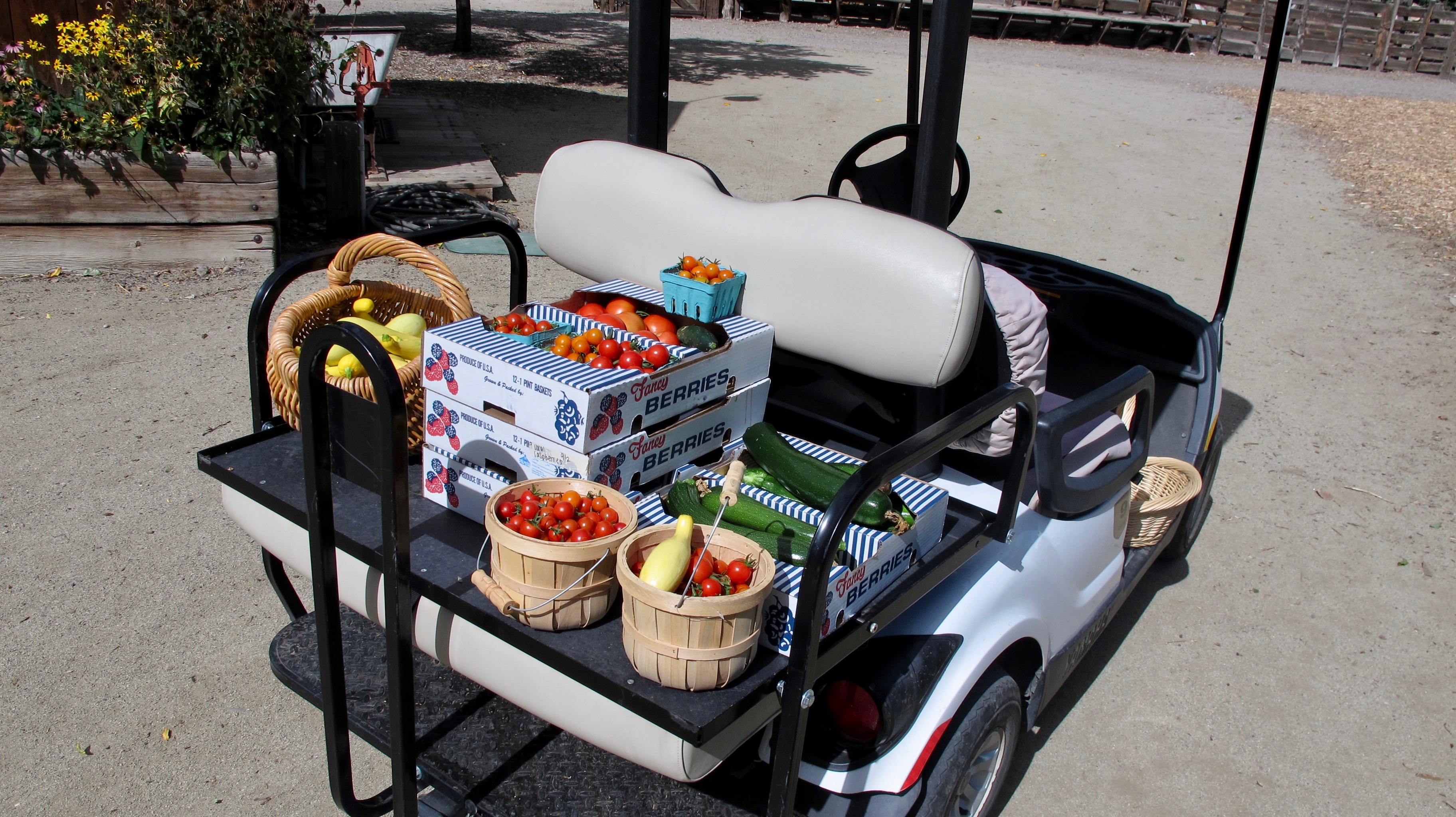
The bountiful harvest

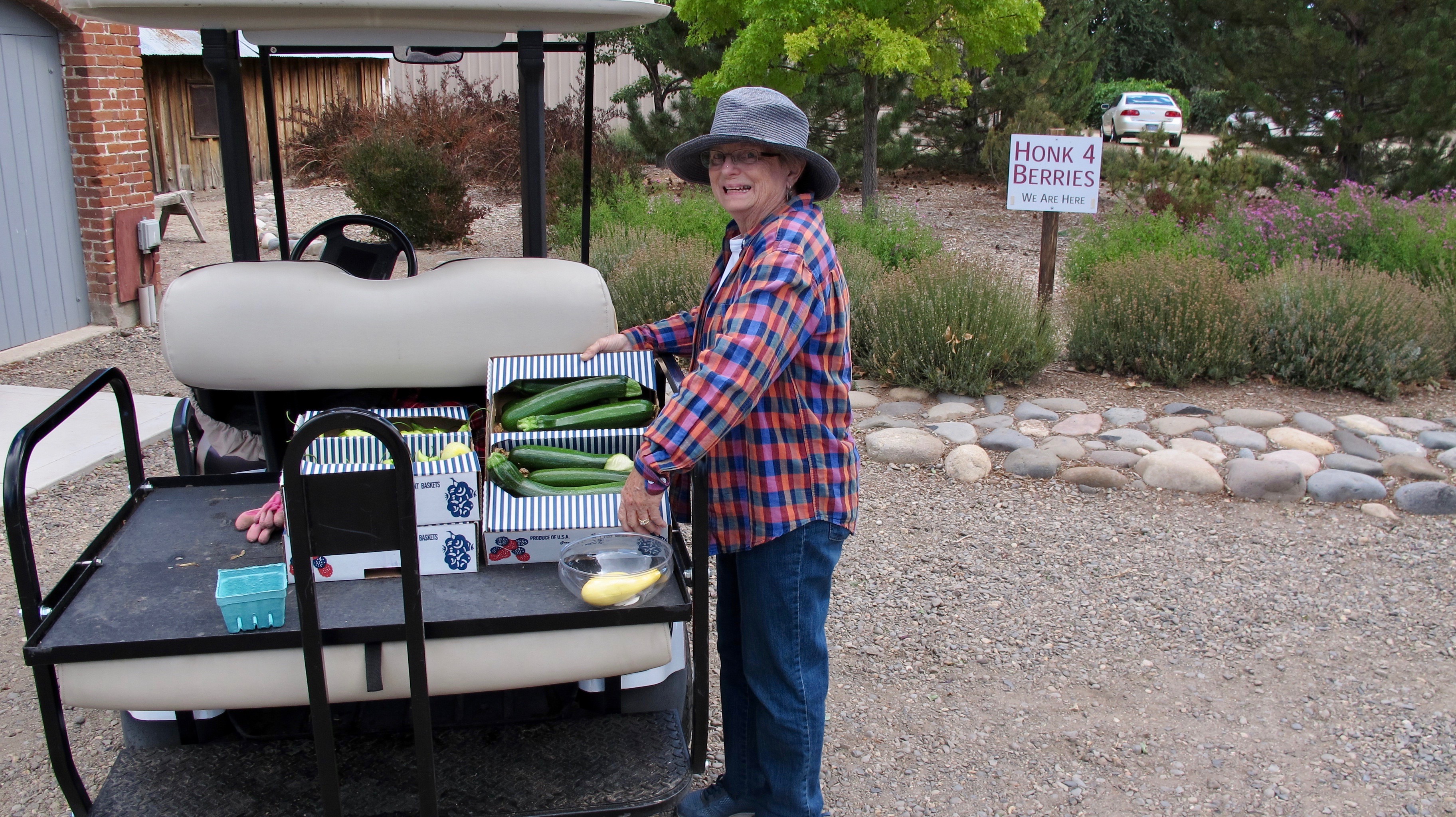
Dot getting ready to carry the zucchini into the creamery where produce is stored.

Trish and Diana discussing the finer points of preparing French toast.

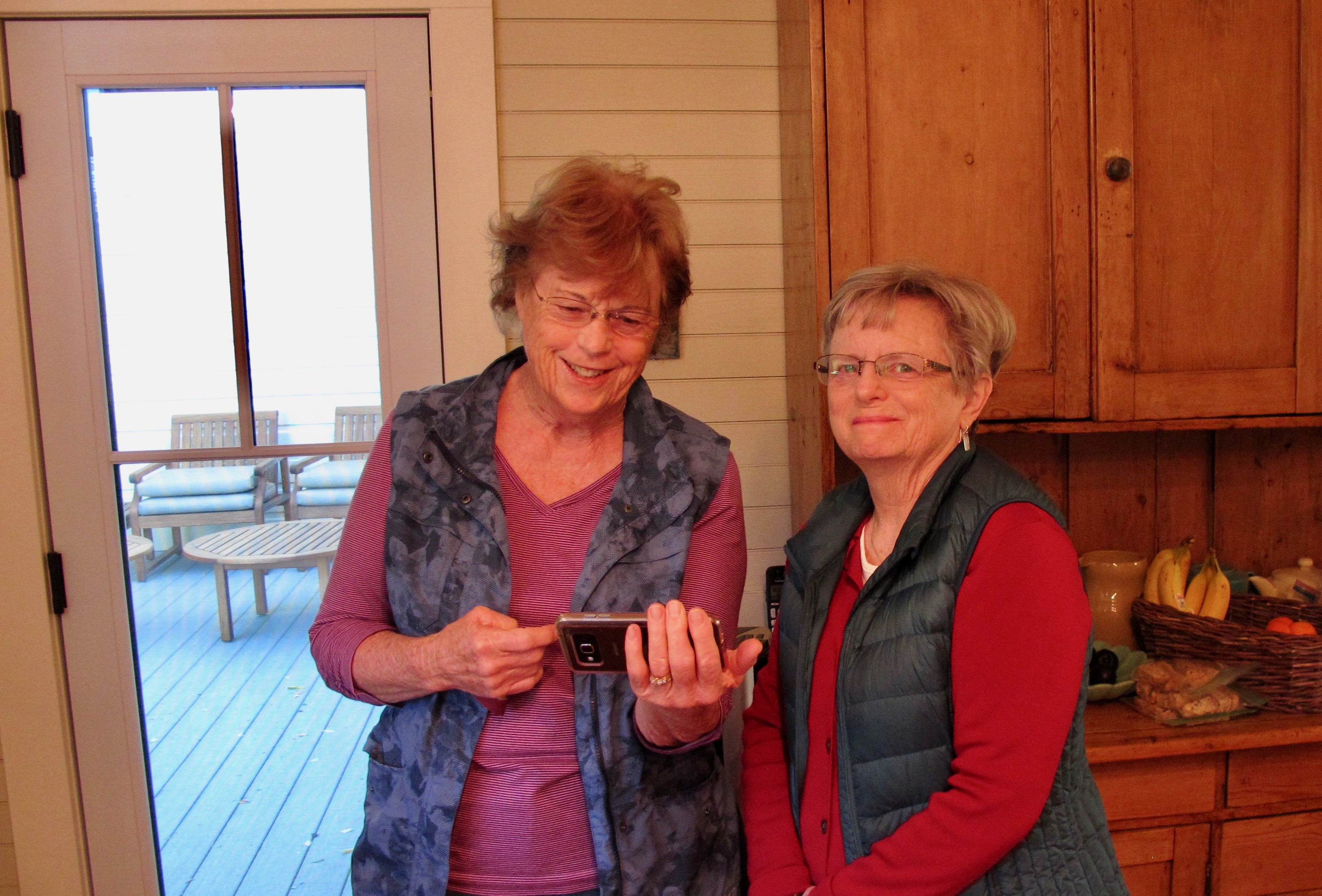
Lynda and Dot sharing pictures

Jack and Evert

Lucy, the ever faithful ranch dog, guarded us very well while trying to get some love and attention.  She’s good at that.

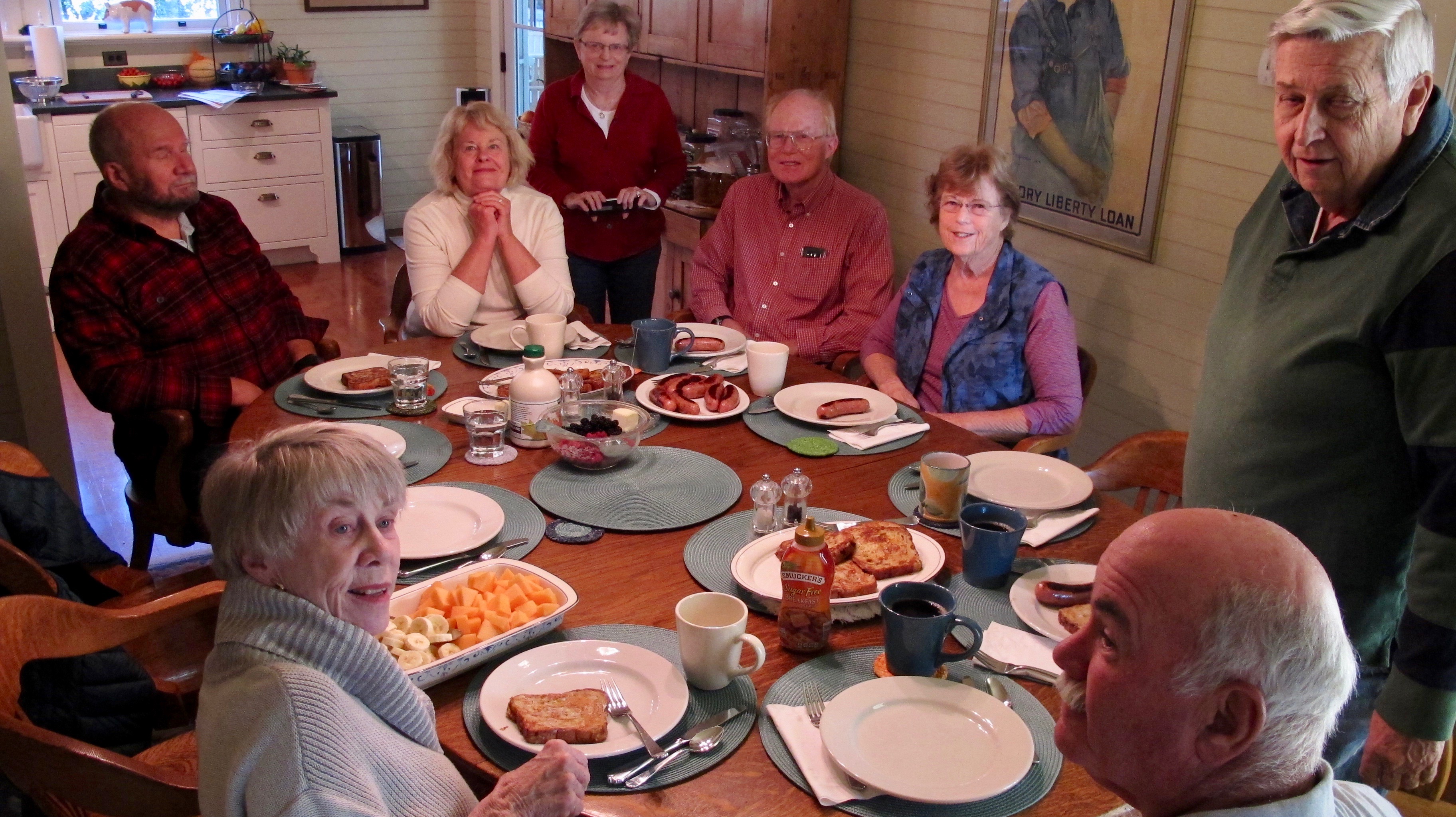
The 2017 Prime Time group getting ready to partake of a gourmet breakfast.

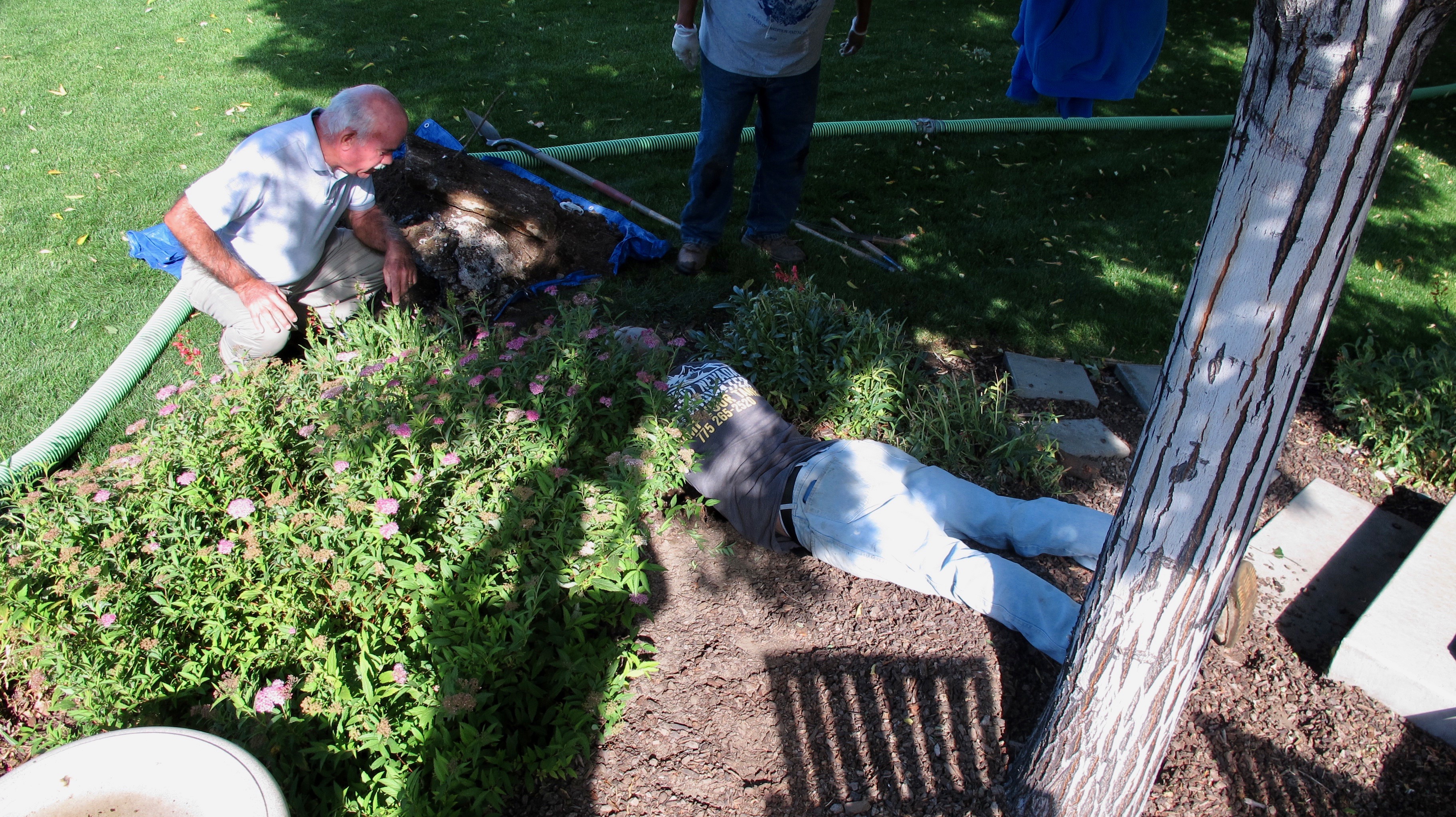
We really should have taken our group picture by Bobula’s Septic Service truck as it came to save us from zooming out to the porta potties that were still in place from the wedding season. The overflow was discovered just a bit before bedtime. So there we all were…putting on shoes and jackets to go out to the very nice porta potties all night long. They actually are very nice with no smells and motion detector lights that go on to help you see to do your business. I kind of looked at it as another validation of “It is what it is.”

Jack is finding out the bad news that parts of the more than 50 year- old septic tank were broken and probably couldn’t be repaired. The upshot is that now the Jacobs’ have a new bigger and better septic tank.

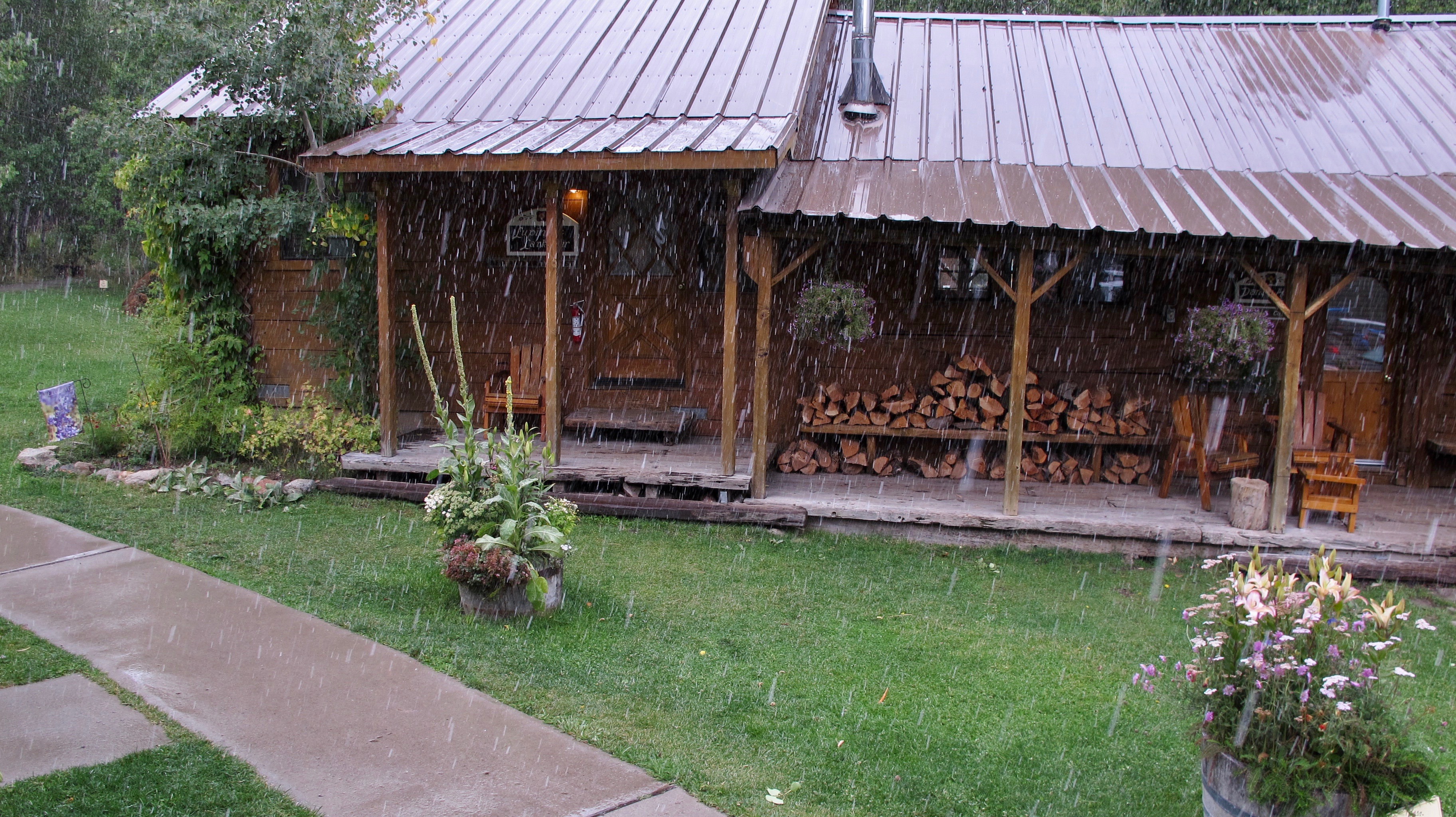
We had planned to go on a hike, but that plan was thwarted when snow began to fall while we were having lunch at Sorensen’s. At times, the light was just right and that area began to shine almost like a Thomas Kinkade painting.

Our time together at the Berry Farm was a lot of fun but we missed those who were not able to join us this time. We all hope we can have the entire group with us when we get together the next time.

A Lakely Birthday August 10, 2017

14 Aug

About a month ago, Alexis and Connie, two college friends, were visiting me and the Carson Valley and we decided to take a cruise on Lake Tahoe. It’s about a two-hour cruise and it’s a neat way to see part of the lake from Zephyr Cove to Emerald Bay. I’m guessing it’s about 10 miles across the lake at that point and it allows beautiful vistas of not only the lake but the Sierras and the Carson Range as well.  (Please click on the pictures to enlarge them and get more detail)

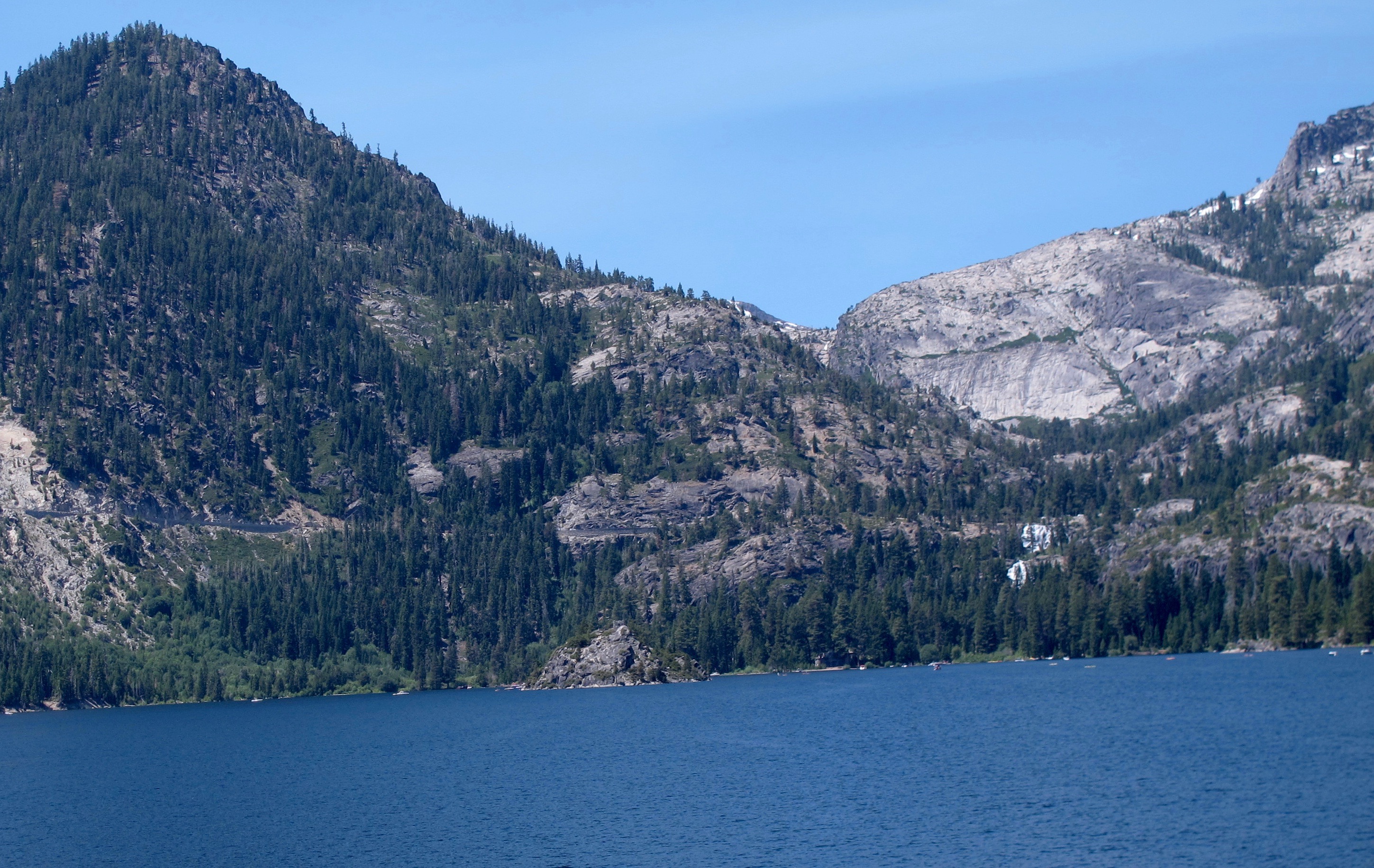
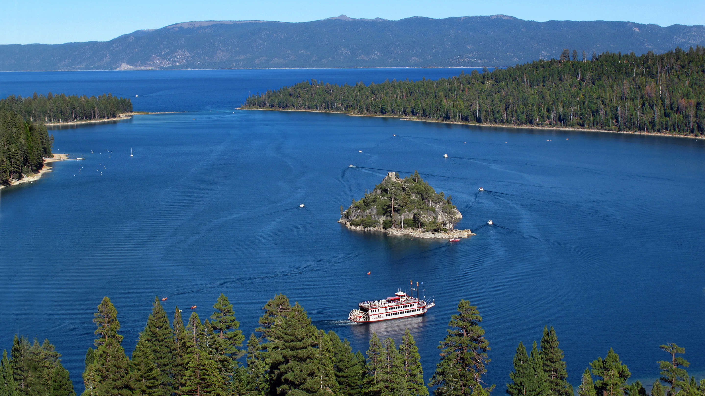
Here is a view from the boat of Emerald Bay. You can see part of CA Highway 89 as a line a little way above the water. It goes around the bay and makes its sharpest curve at those two white spots toward right center. Those white spots are Eagle Falls that were absolutely gushing that day. Ever since then, I’ve been wanting to go up there to see them in person. August 10 was the first opportunity that I had to do just that.

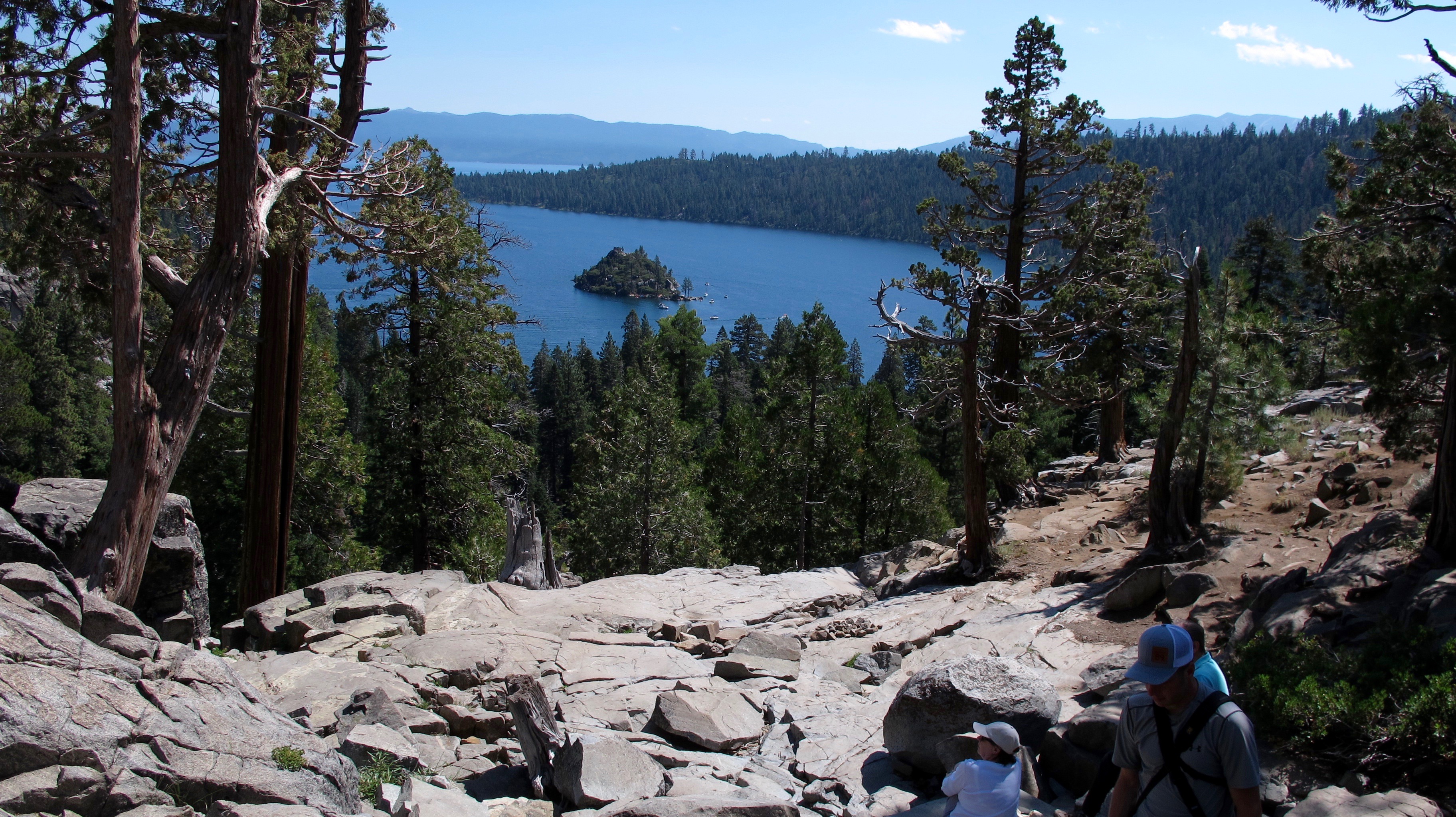
Summer is winding down (in terms of kids going back to school) and I thought it might not be so crowded. WRONG!!! I ended up parking about a mile from the trailhead I wanted to use, adding a couple of miles to my proposed hike. But… I was afforded a great view of Emerald Bay and Fannette Island, the only island in Lake Tahoe.

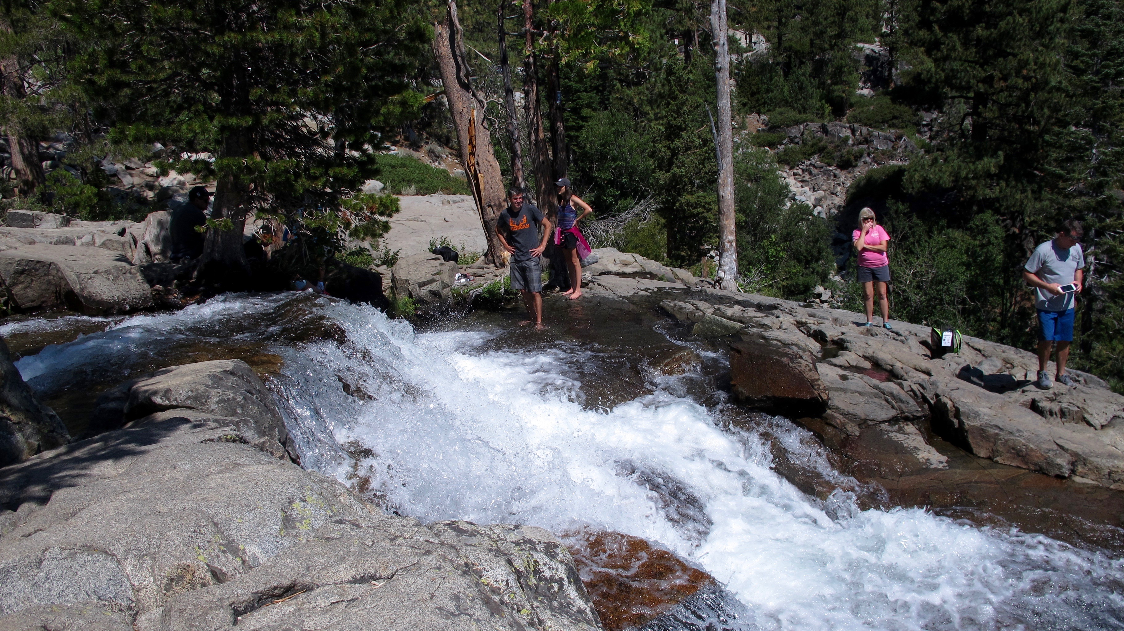
My first stop was to see Eagle Falls. Its flow has ebbed during the last month but it’s still a dangerous place to be fooling around. I sat down while taking this picture so as not to slip.

Then I turned around and took this picture of people wading in a flat part about 15 feet in back of the first picture. It would have been all over for them if they had slipped.

Eagle Falls a short distance away… I think I was sitting on the flat rock when I took the first falls picture. You can see how steep it is.

The trail down to Vikingsholm is about a mile long, all down hill. You know what that means when you want to go back up the hill. The surrounding area is very pretty, lots of trees, rocks, flowers and even ferns. I was surprised to see such beautiful ferns in what can be a very cold and snowy climate in the winter.

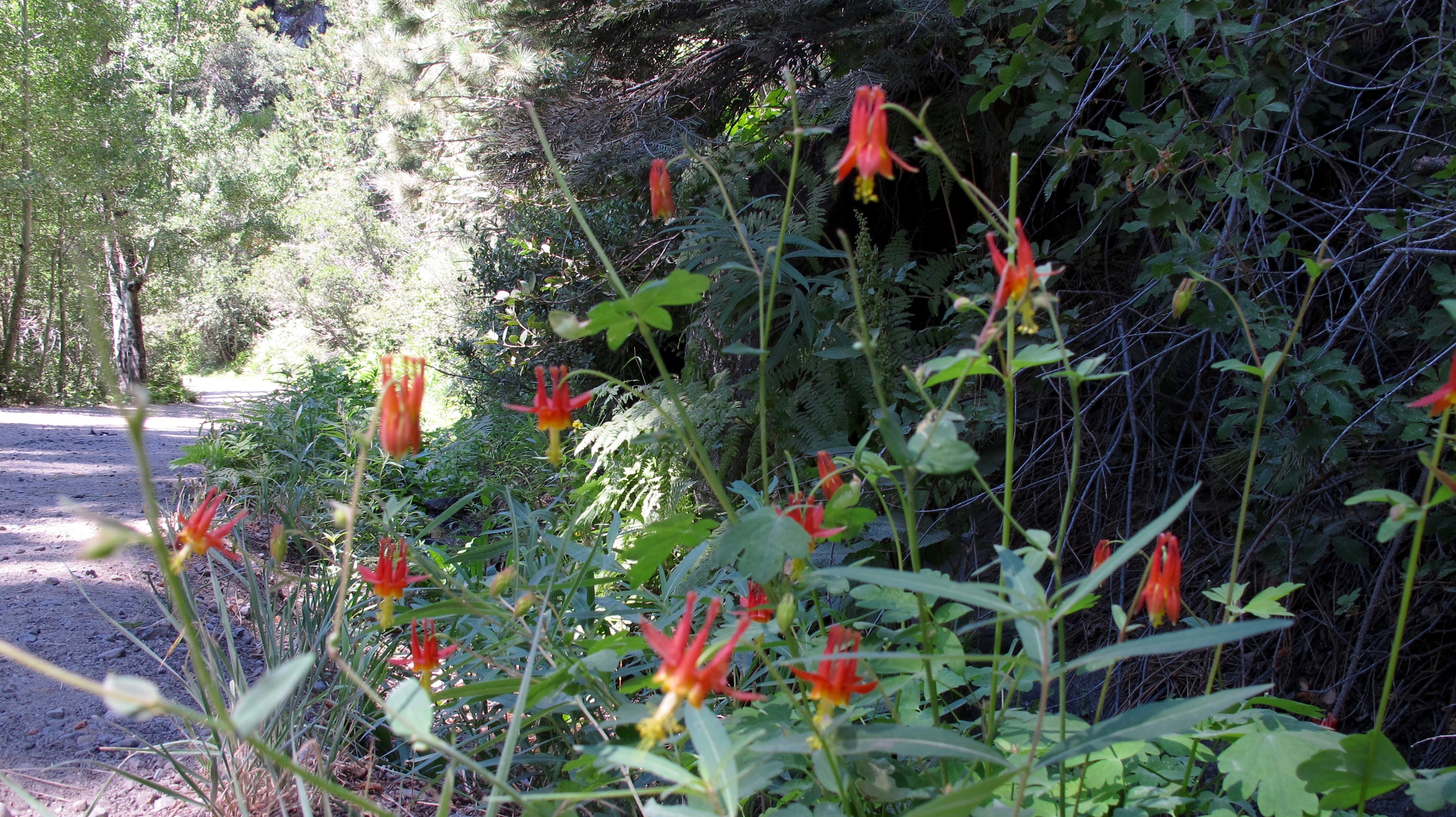
Crimson or Western Columbine

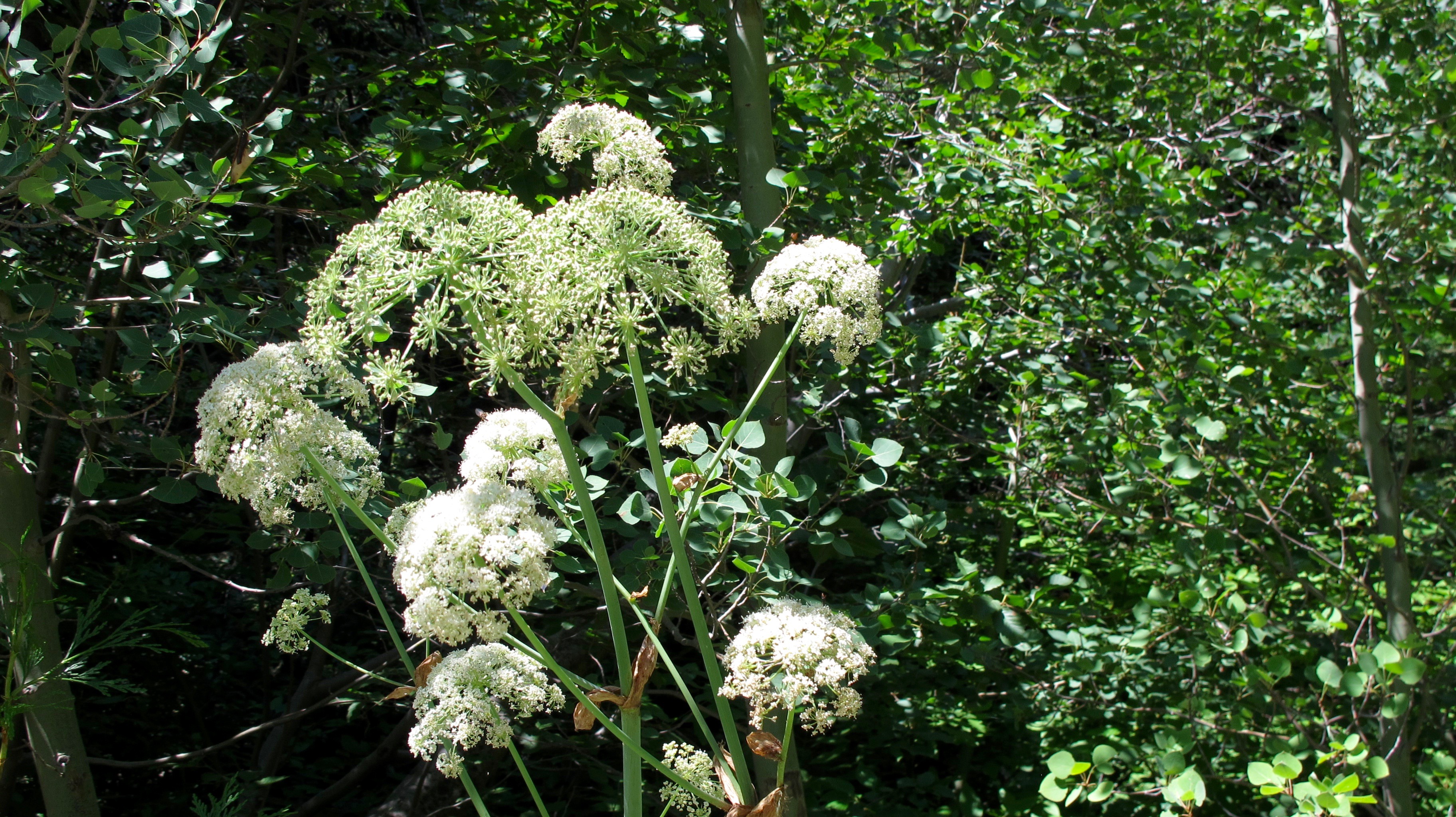
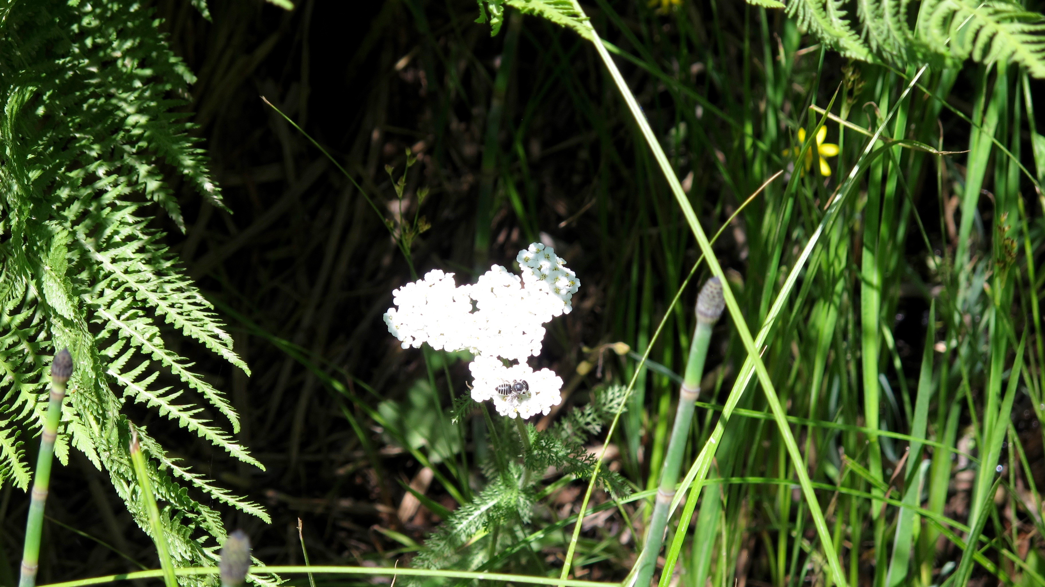
I’m not positive about some of these flowers so I’ll put a question mark after the names I think they are. If you know what they really are, please let me know.

Cow Parsnip?

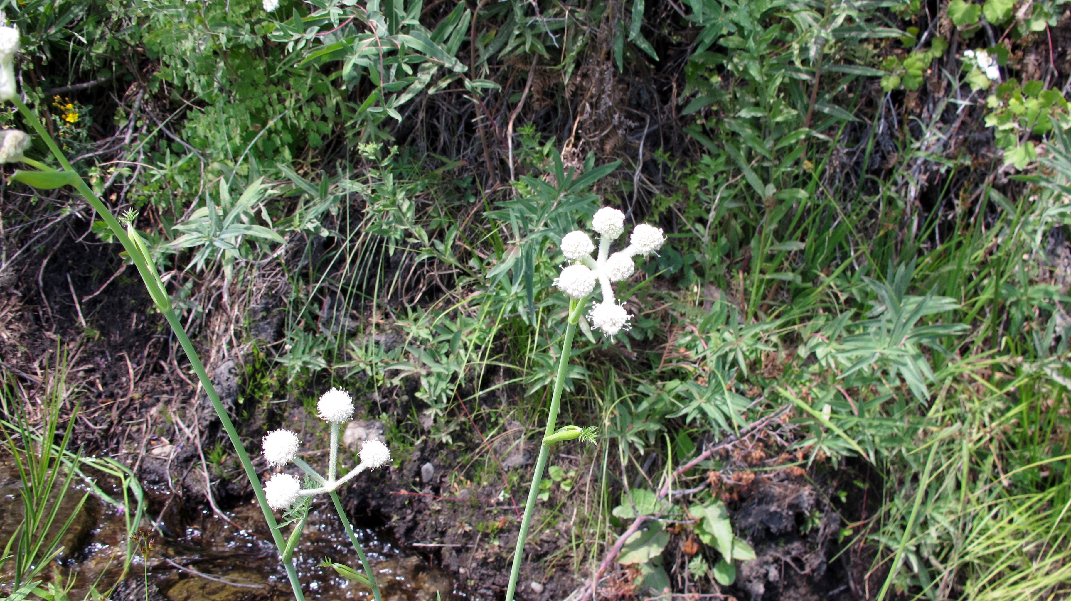
White yarrow (?) with wasp

Many small falls were at the side of the trail.

Great Mountain Larkspur or some type of Penstemon??

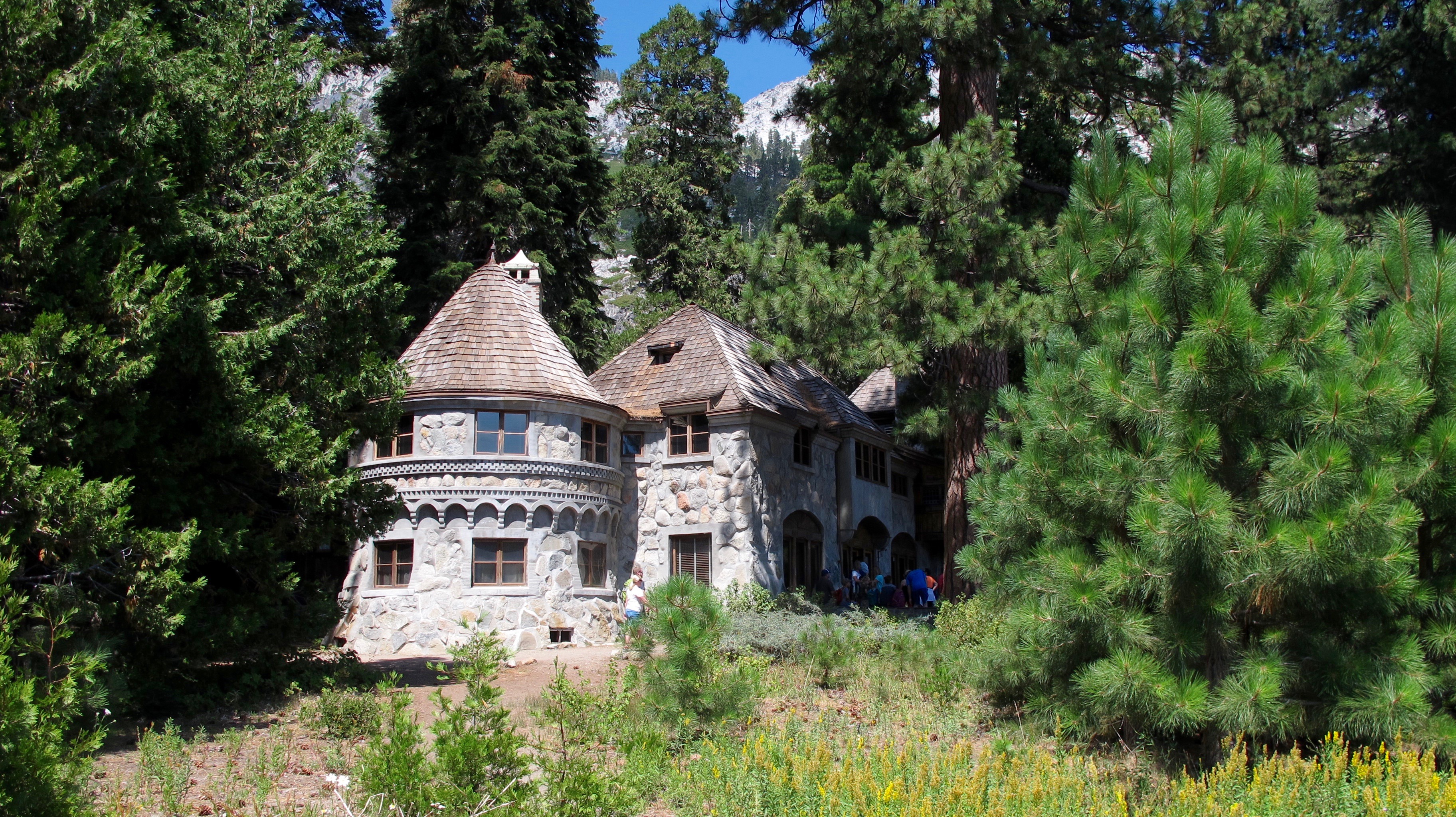
A view of Vikingsholm from the MS Dixie in July.
If you would like to learn more about it and its impressive history, please check this link.
http://vikingsholm.com/#Two

People are able to take a tour of Vikingsholm. I am waiting for another opportunity…perhaps after Labor Day when there aren’t so many people there.

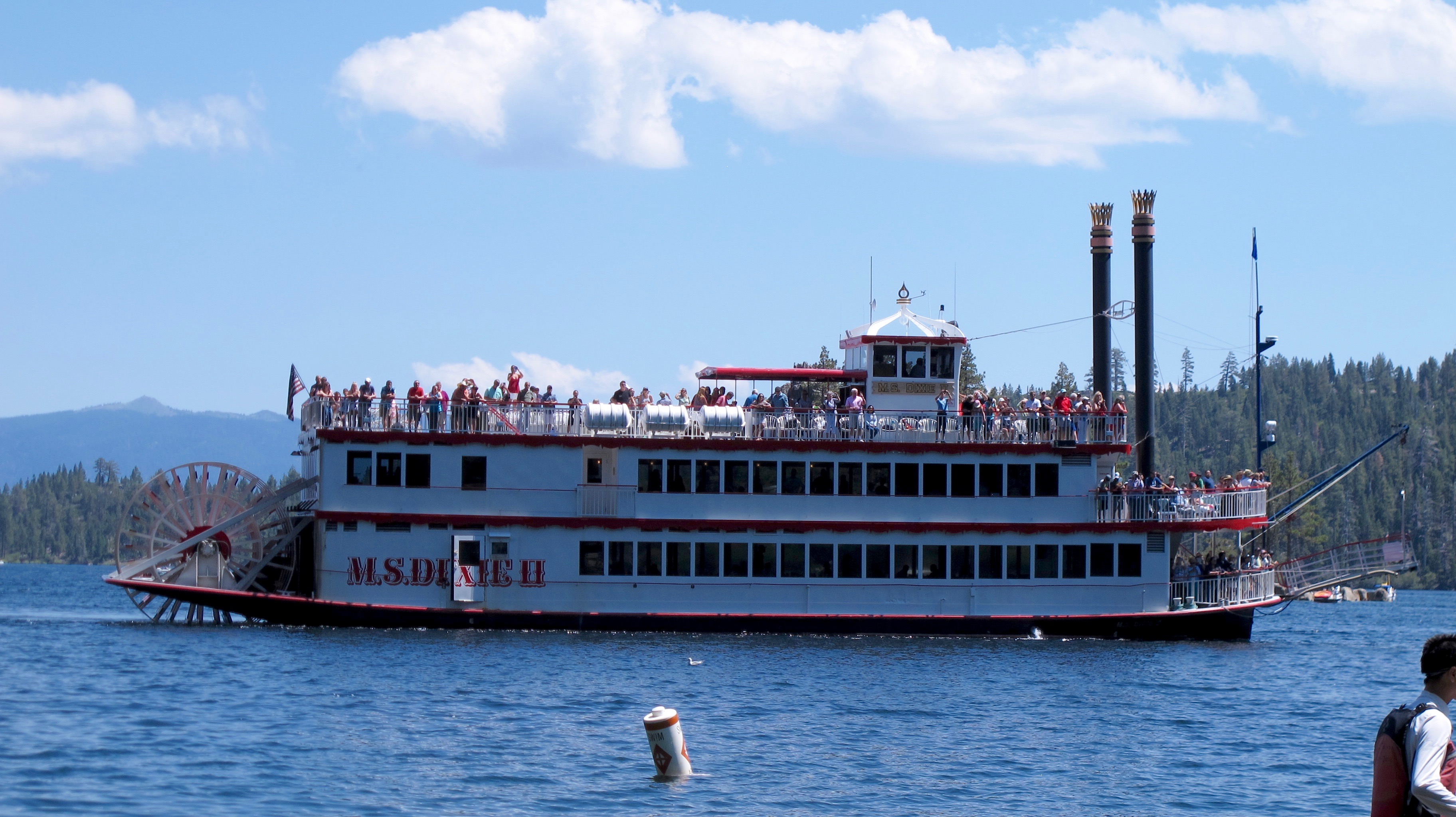
The MS Dixie II paddled into Emerald Bay while I was there.

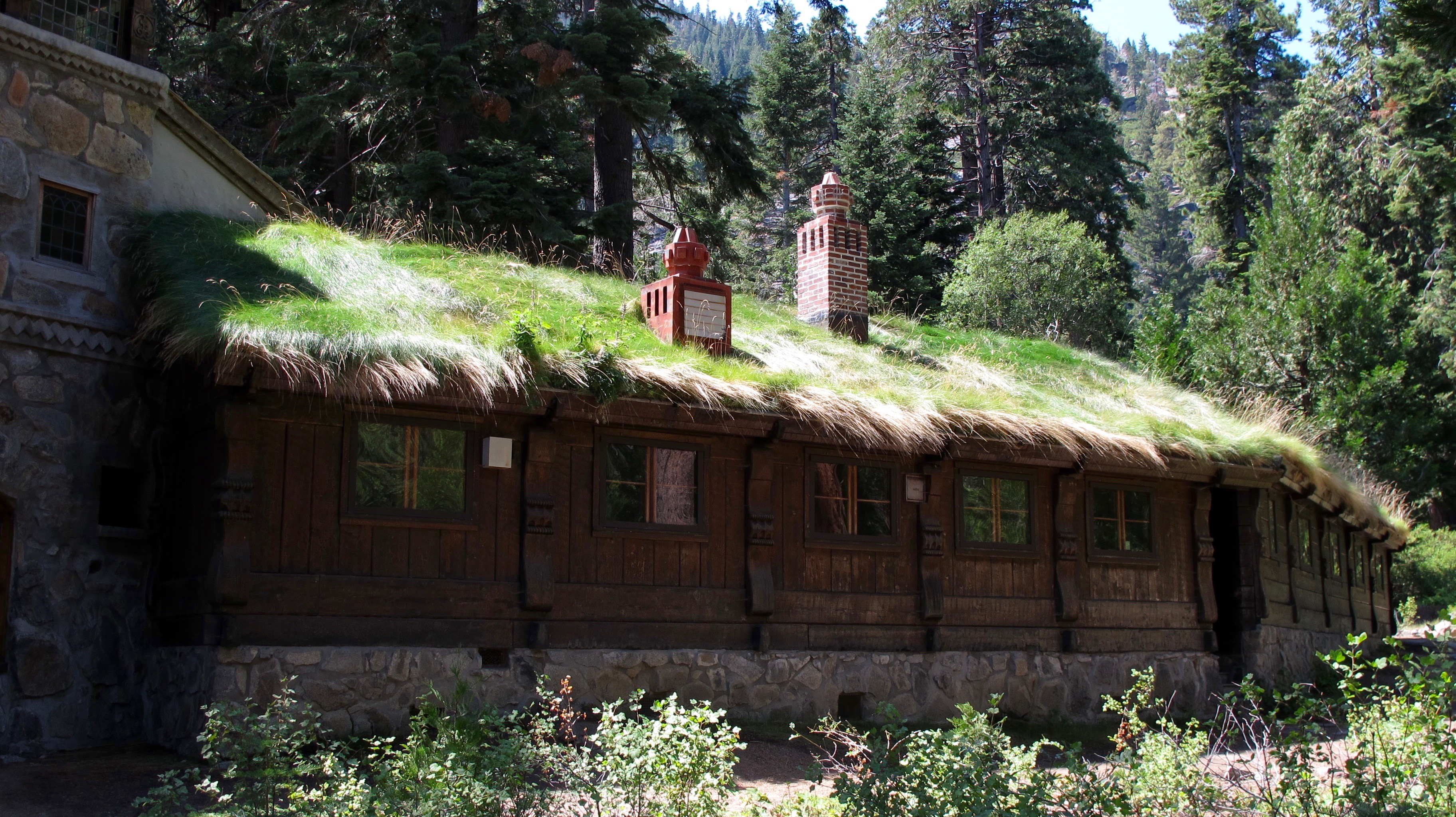
Lora J. Knight wanted her summer home to be very authentically Scandinavian and had one wing built with a thatched roof.

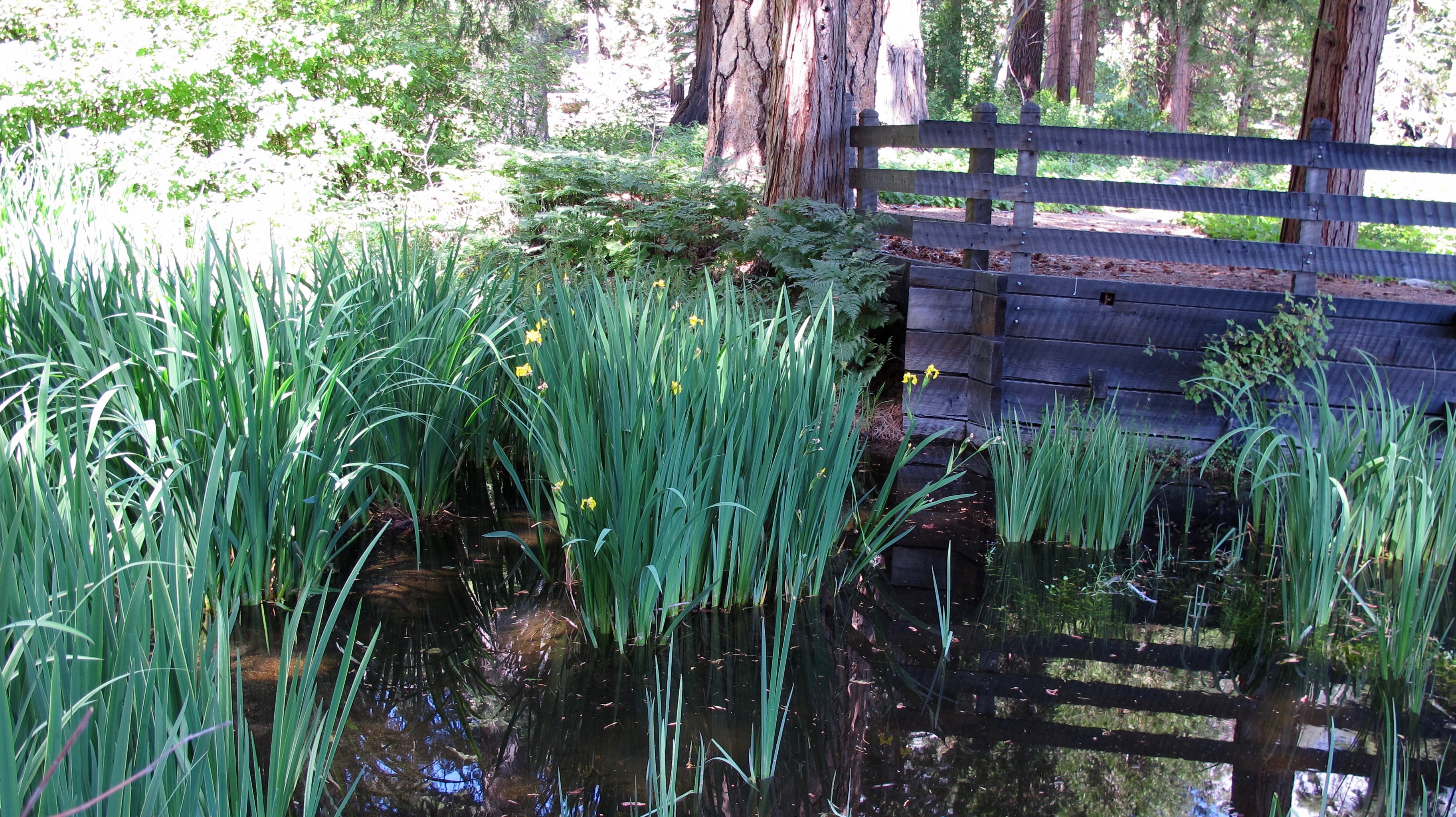
A small pond is formed by one of the creeks near the Vikingsholm and someone planted some beautiful iris.

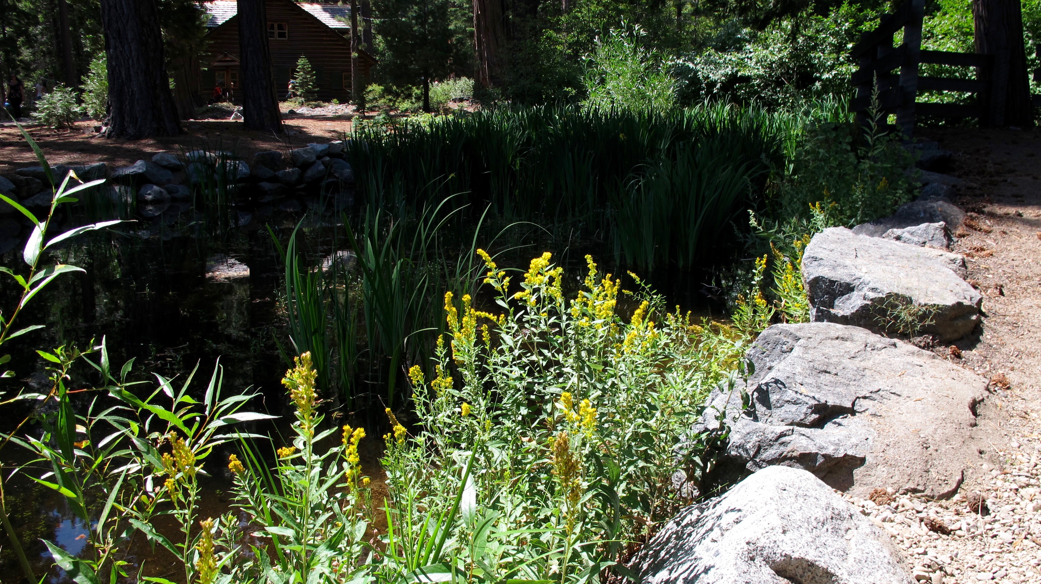
Some goldenrod is next to the pond. Many people are allergic to it and I pull it up every time I see it in my backyard.

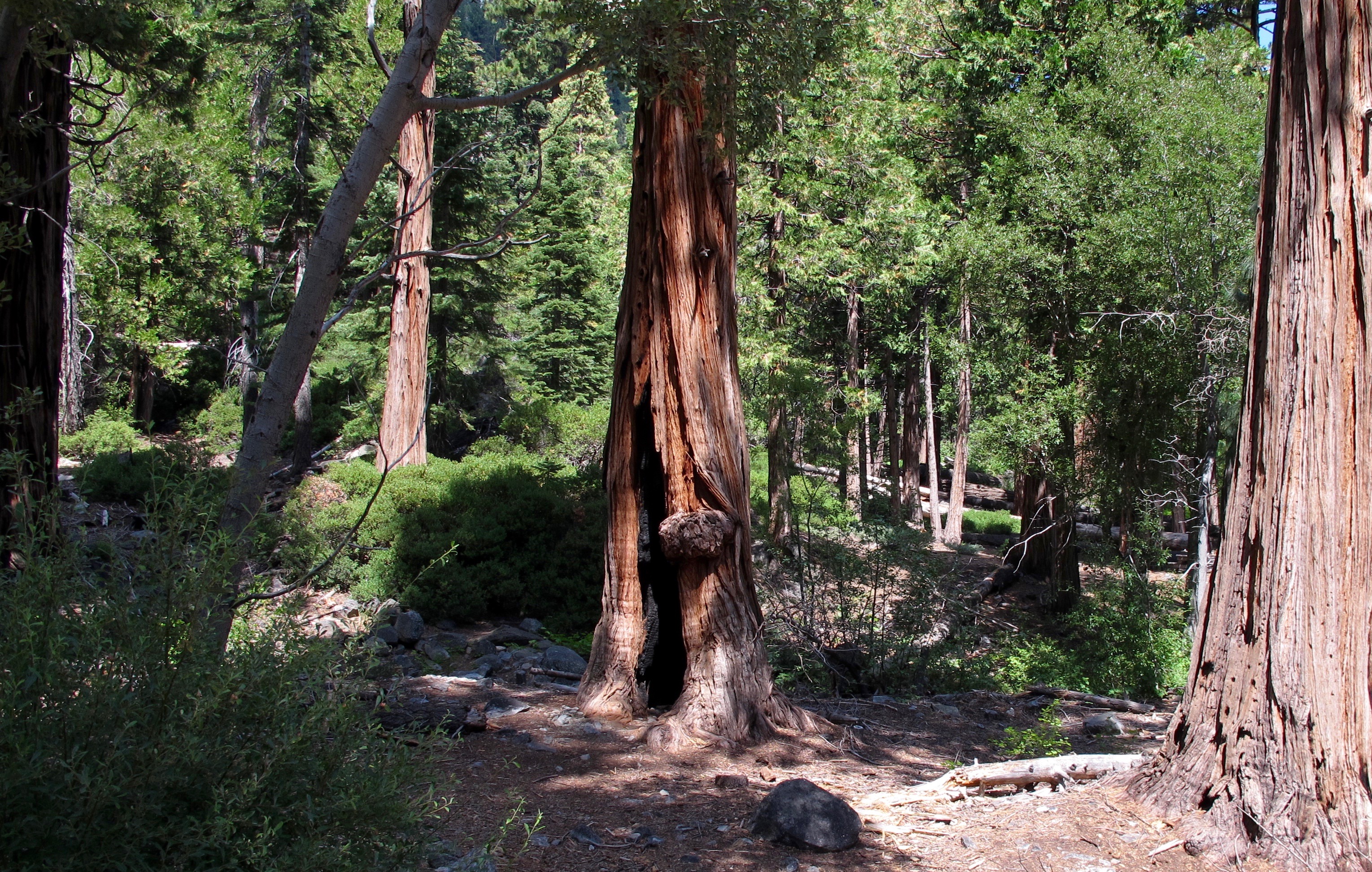
This burned out tree (still alive) was one of a couple of hollowed out trees I saw. The fire must have been years ago as everything else looked fresh and green.

I saw more flowers on the way back up the hill such as this lupine.

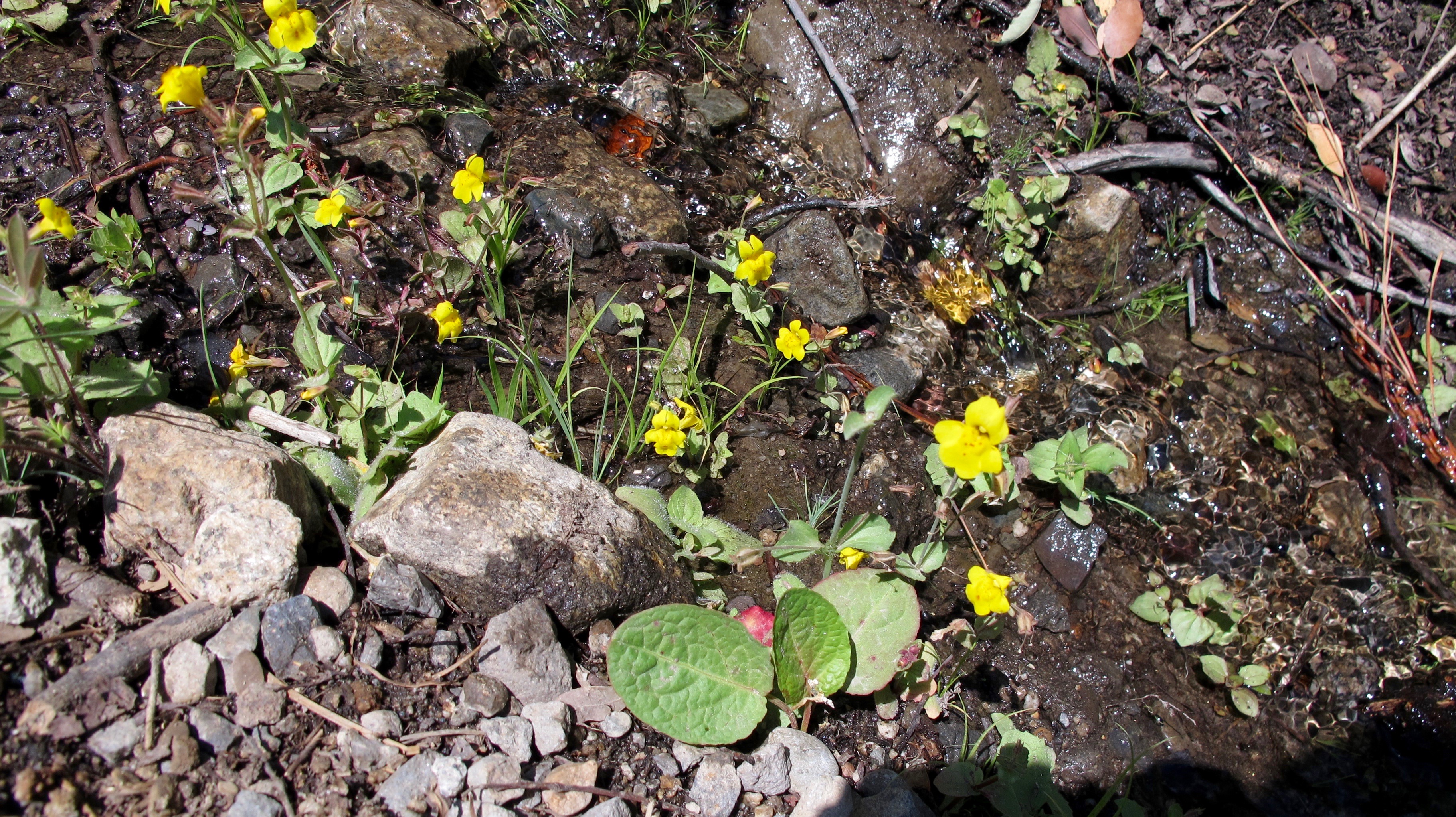
Mountain Monkey Flower?

Rangers’ Buttons

I can’t resist including this beautiful photo taken by good friend, RD Schmidt.  You can see the little tea house on Fannette island.

My hike was fun and then I had a very nice dinner with Jerri and Allan. Yep, it was a Lakely good birthday!


Prime Time at Murrieta – May 22 – 25, 2017

30 May

The new Prime Time* location this year was at Dot’s house in Murrieta, CA. For those of you unfamiliar with Murrieta, it is inland, south of Riverside and straddles the I-15 highway. It was a wide spot in the road (along with Temecula) when I was a kid but is now a beautiful, thriving community in an area commonly called The Inland Empire.  (*Prime Time = the annual gathering of good friends from Orange High School) (Don’t forget to click on a picture to enlarge it)

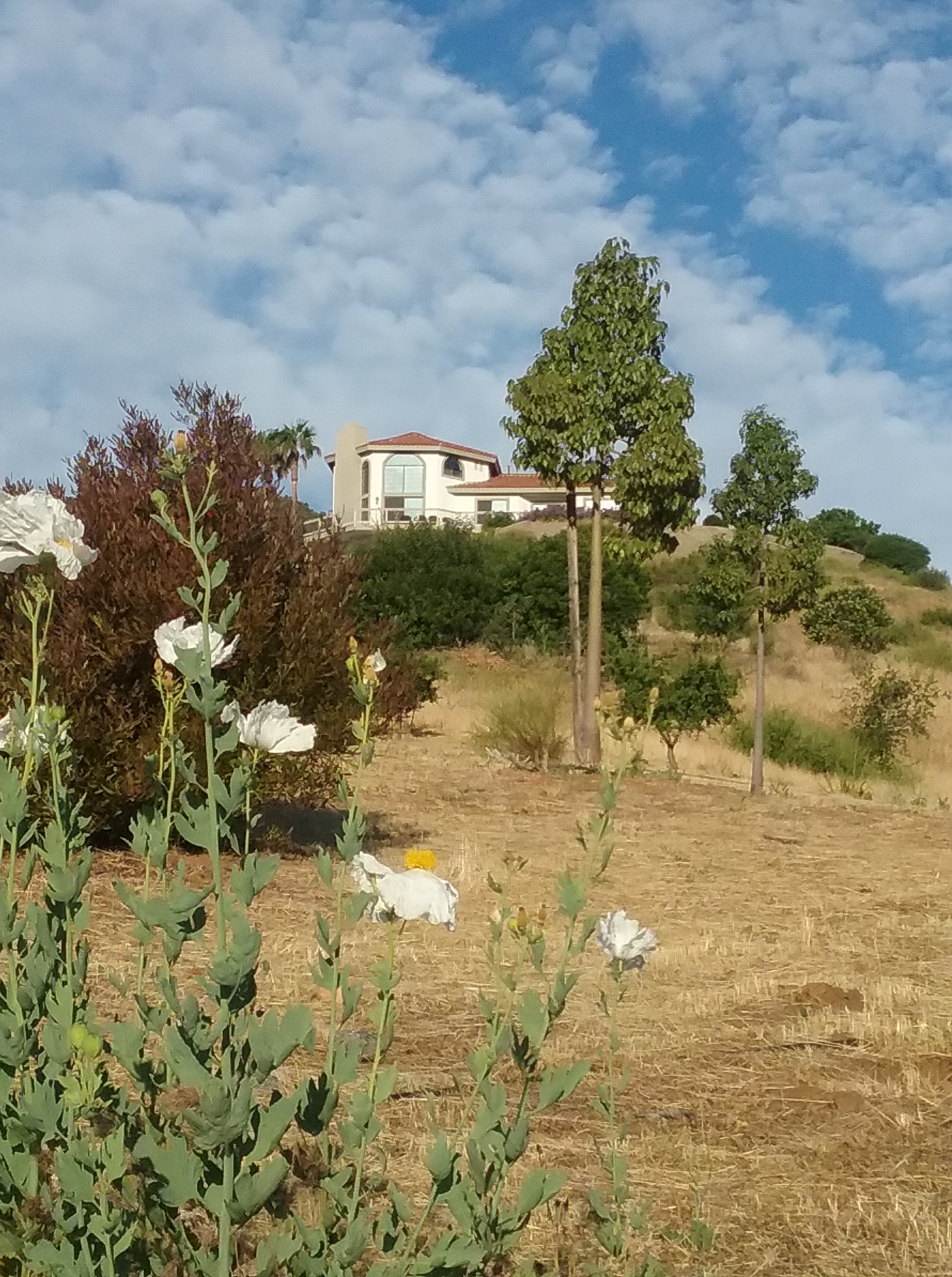
Dot, Cora, Lynda at the bottom of Dot’s driveway. Pretty matilija poppies are in the background with Dot’s house at the top of the photo

Dot lives on hillside that overlooks the valley and this is one view from her house. In the distance, one can see Mt. Palomar along with its famous Palomar Observatory. It’s a tiny, tiny white dot sort of in the right center of the mountain.

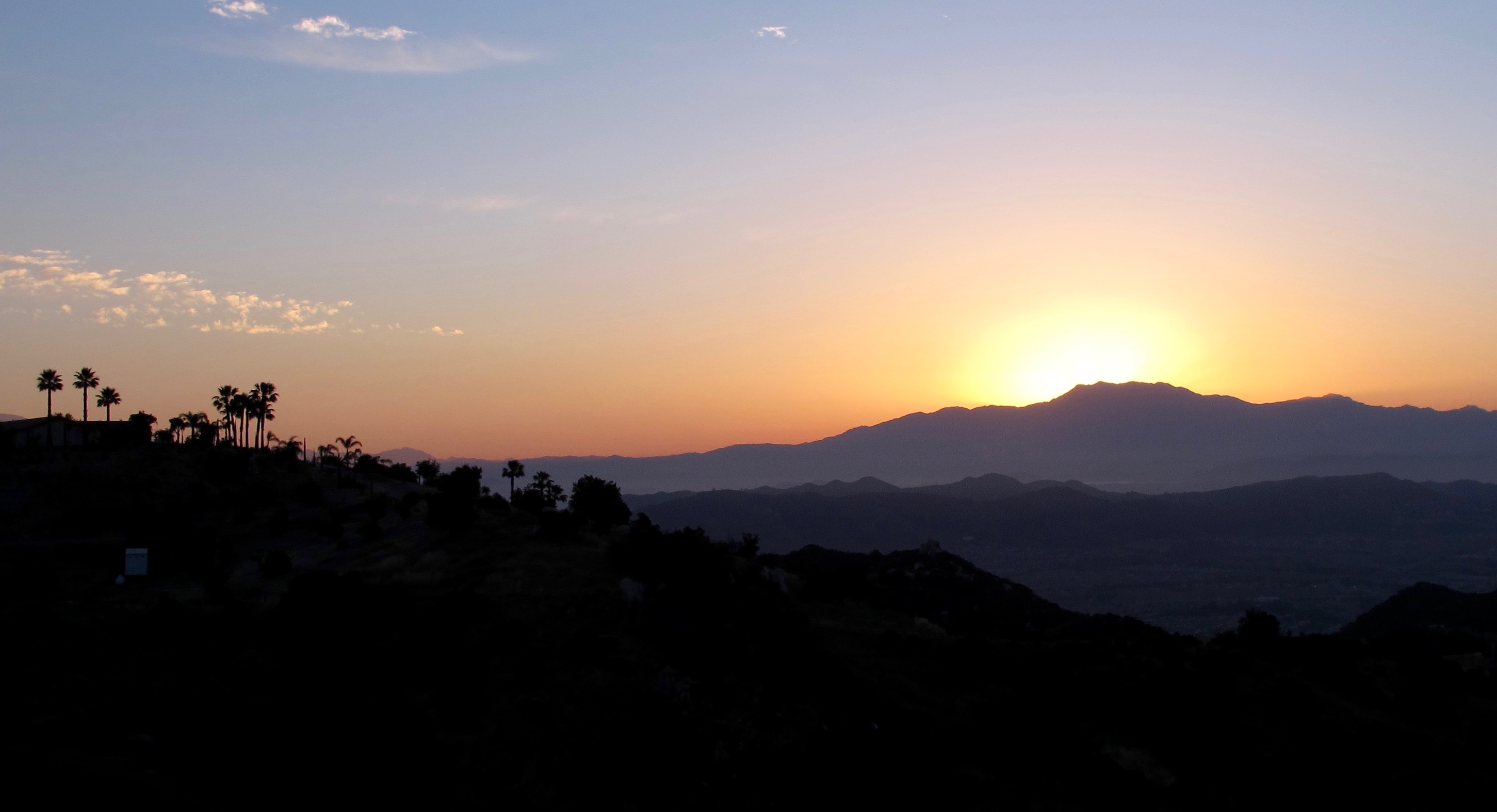
Dawn looking toward Mt. San Jacinto from Dot’s house

Almost the same view later in the morning with Dot’s house in the foreground. You might notice some haze/fog in the distance. It’s normal in this area and for that reason, the next town south is called Temecula, “Valley of the Mist.”

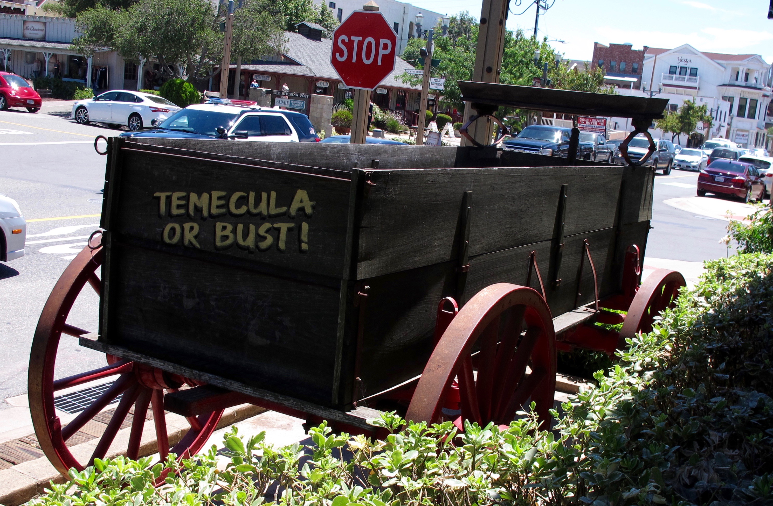
Of course we had to do some shopping (that’s a tradition with us) and we trekked off the Temecula.

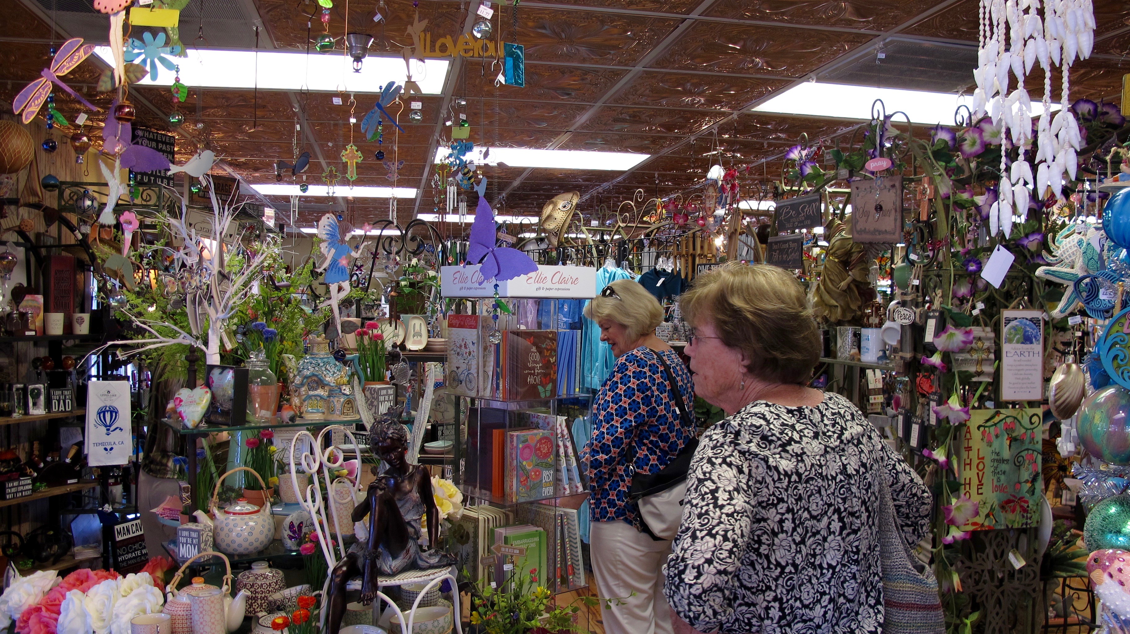
There are many fine and some funky shops (ye olde shoppes?) in Temecula and we only visited a few. Ironically, we met two Orange High alumni in one of the shops.  It’s indeed a small world.

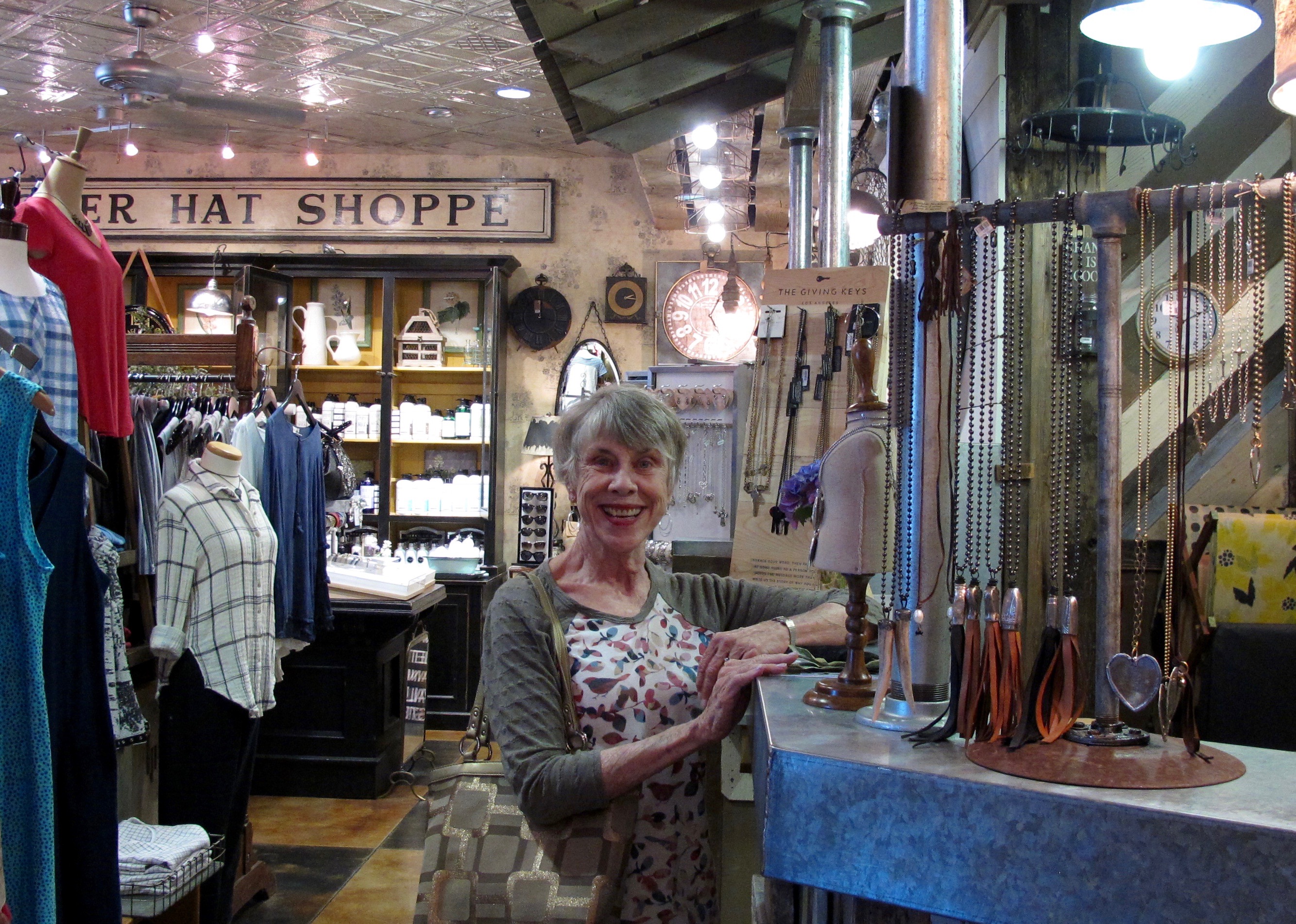
Trish found some good stuff!

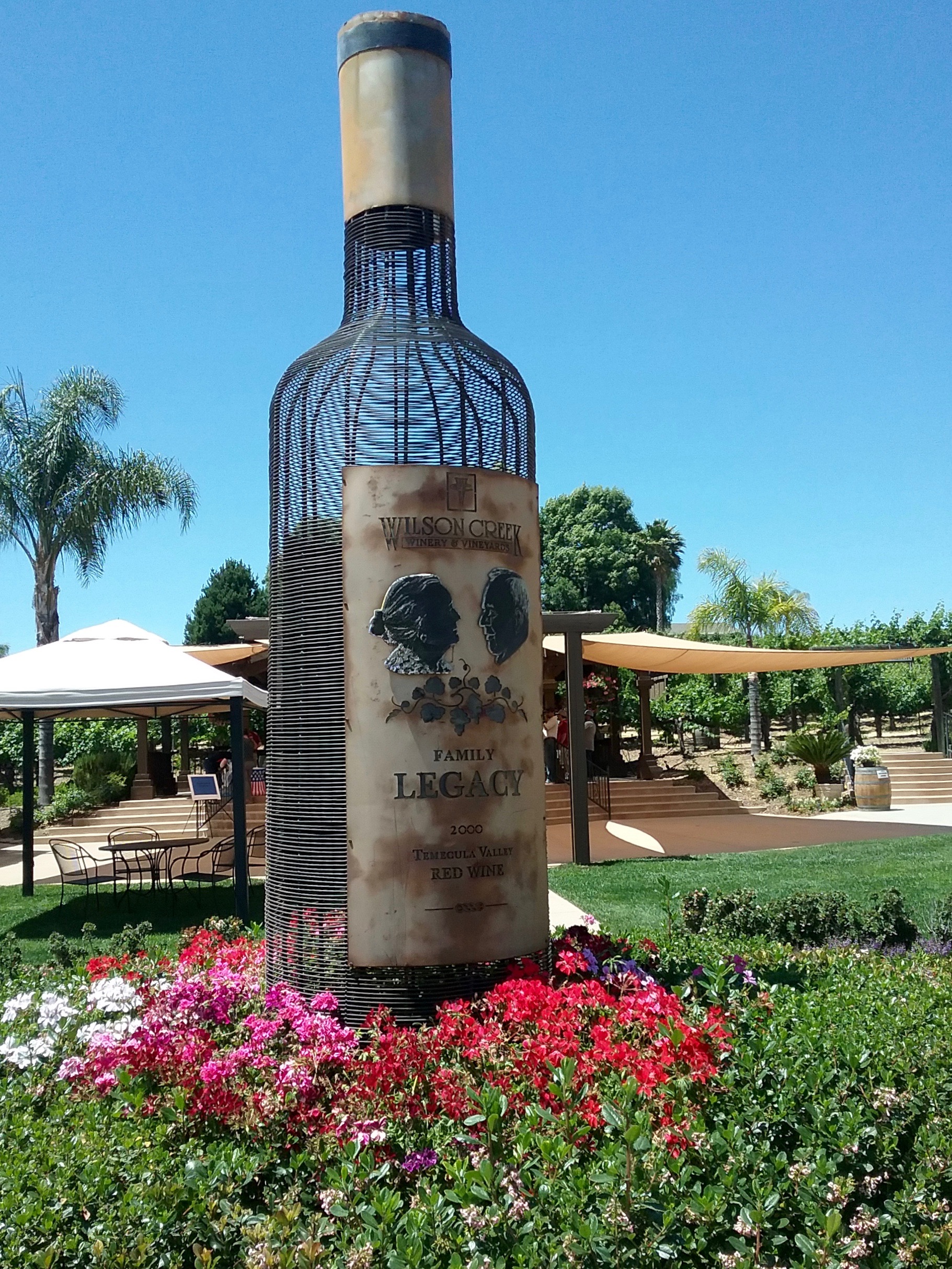
Because we shopped so hard and worked up an appetite, we had to do lunch. Temecula has many nice wineries and we elected to have lunch at the Wilson Creek Winery. No, this was not the bottle we had at lunch!

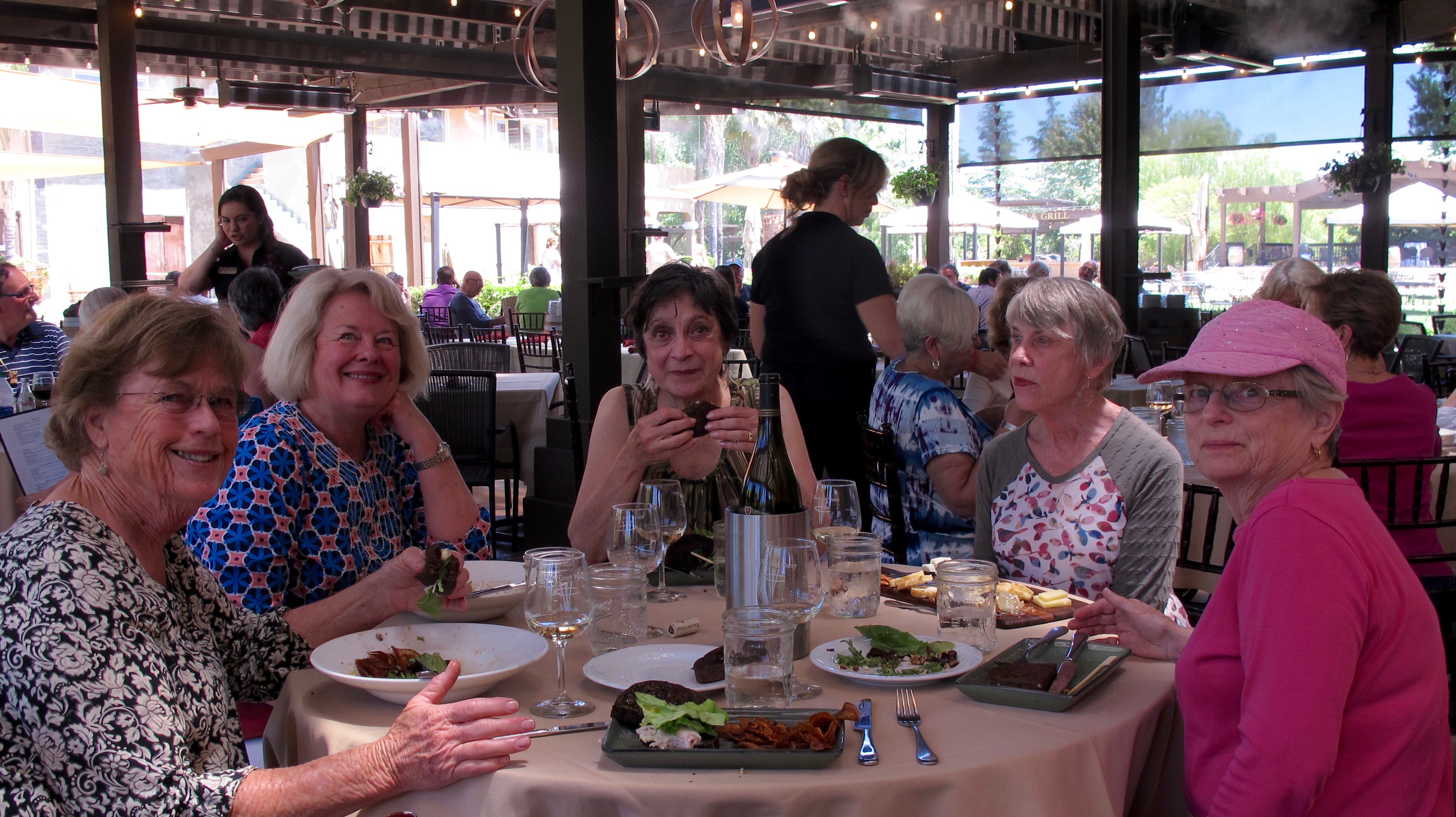
It was a good lunch with some good vino

Elizabeth arrived later that evening.

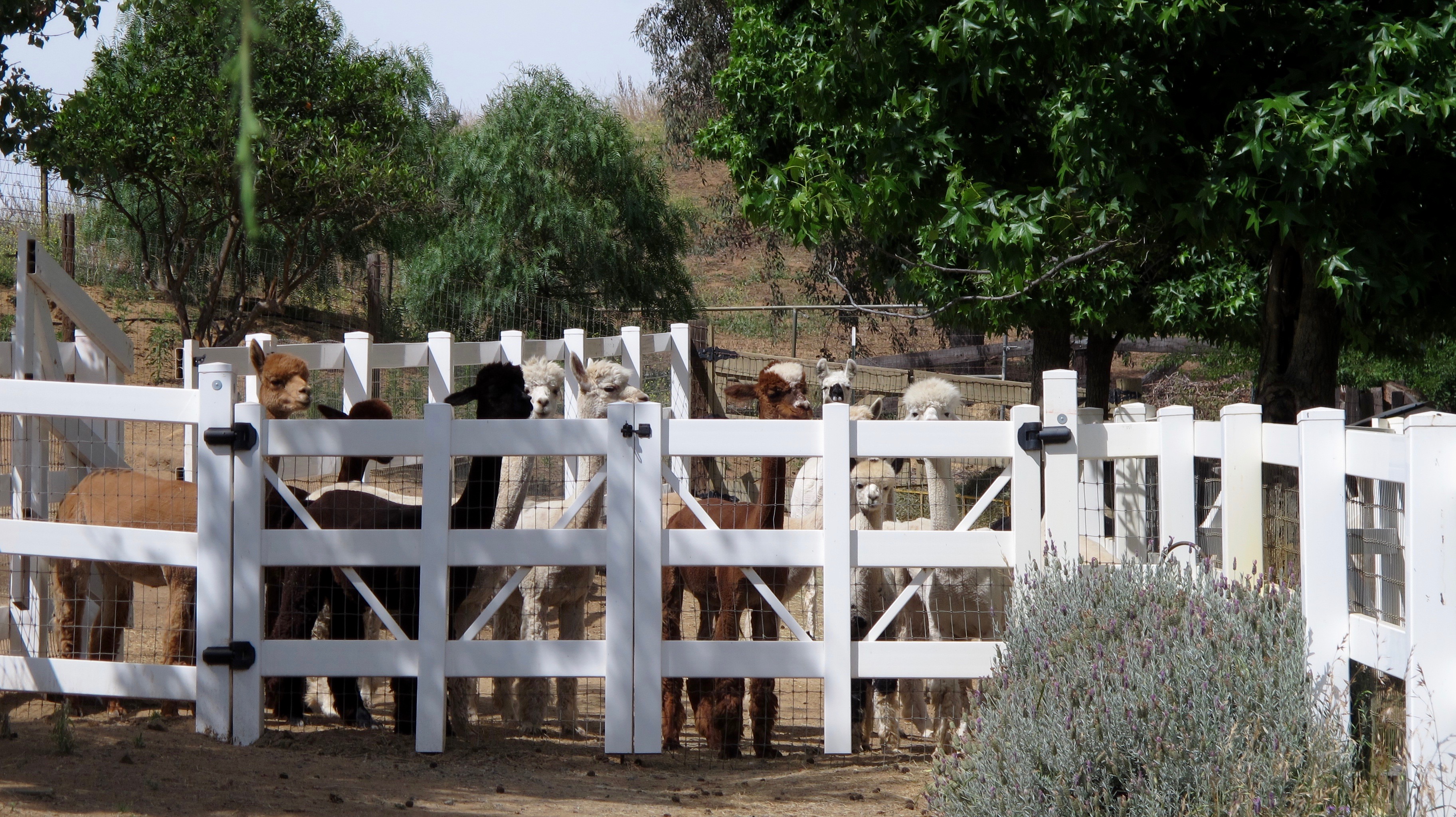
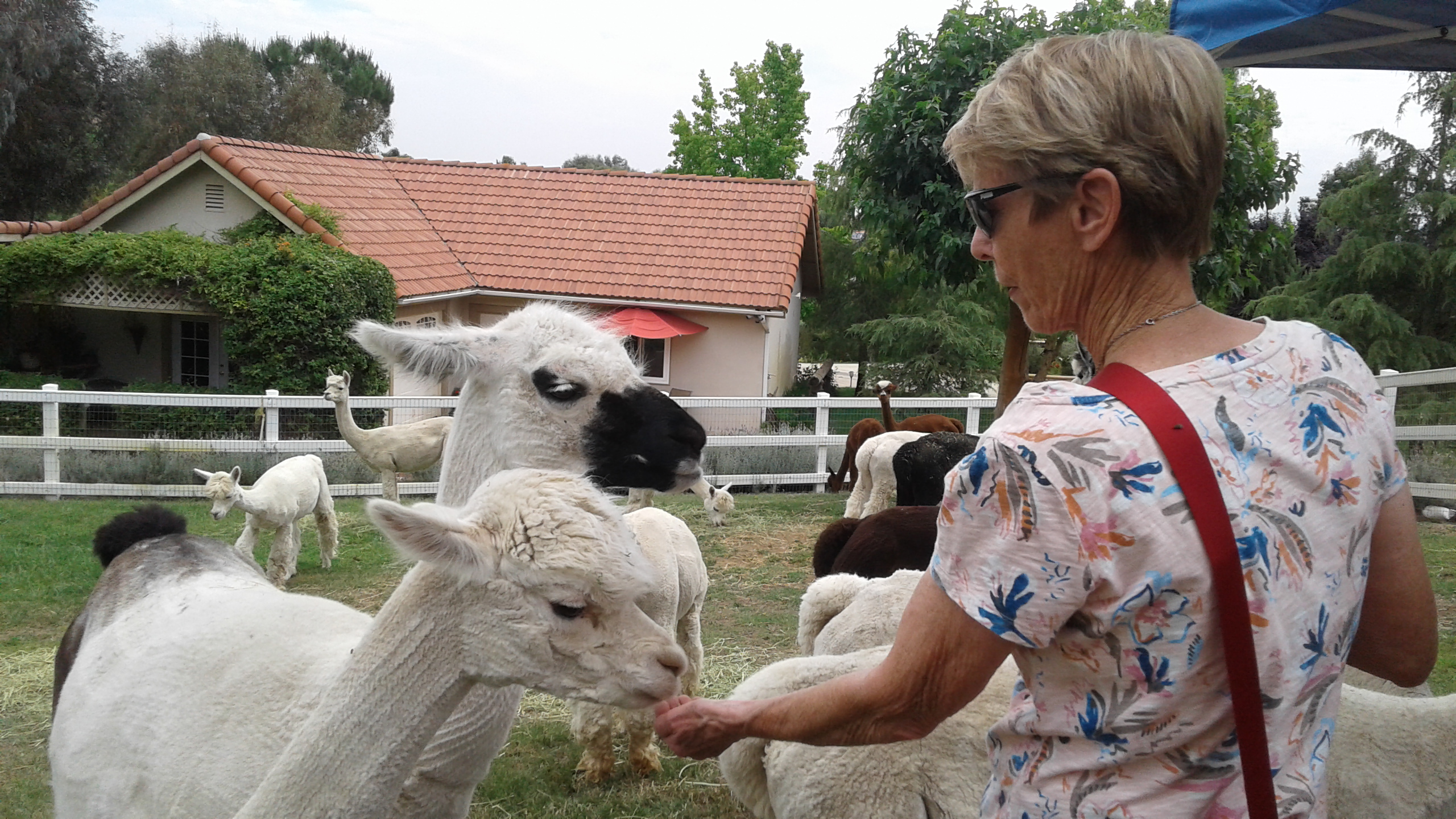
Most of us had a first time experience the next morning. We got to visit an alpaca ranch and actually touch, feed, pet and talk to them. It was such fun for all of us!

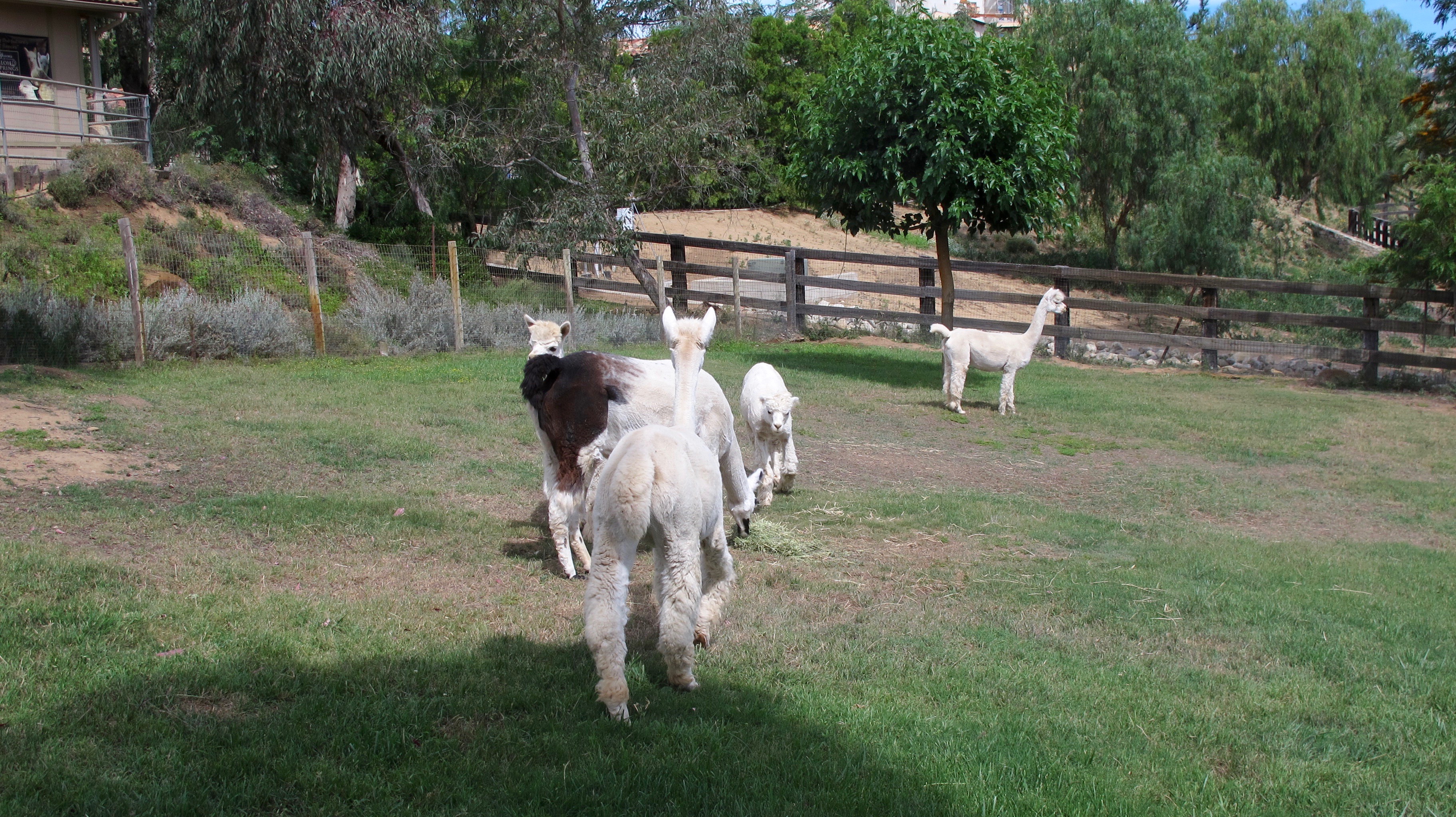
The girls were waiting for our arrival because that was the signal that they got to go into the pasture and have some food.

Running to get dibs on the best spot in the pasture. This little one was so ecstatic that she romped and jumped for several minutes. She was a real kick (no pun intended).

Alpacas certainly aren’t camera shy. Sherry has a new friend!

I look a bit hesitant here but they were very gentle with us and each other.

This llama is known as the baby sitter. She protects the other girls and makes sure everyone is cared for. She reminds me a bit of the “push-me-pull-you” from “Dr. Dolittle.”

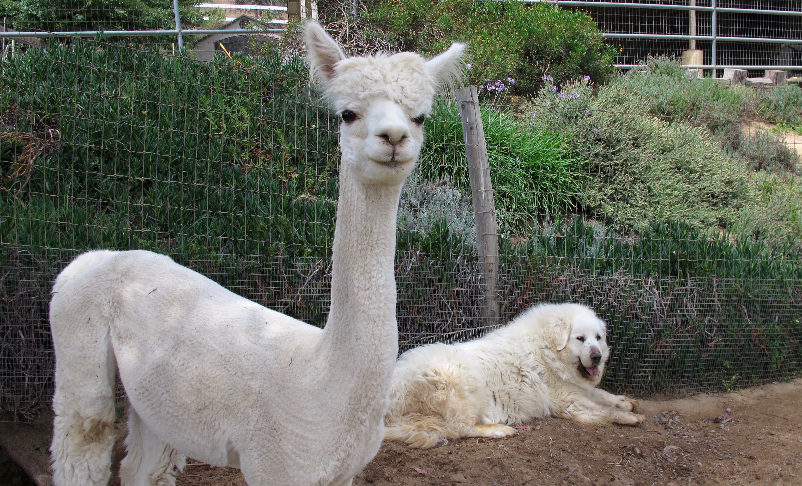
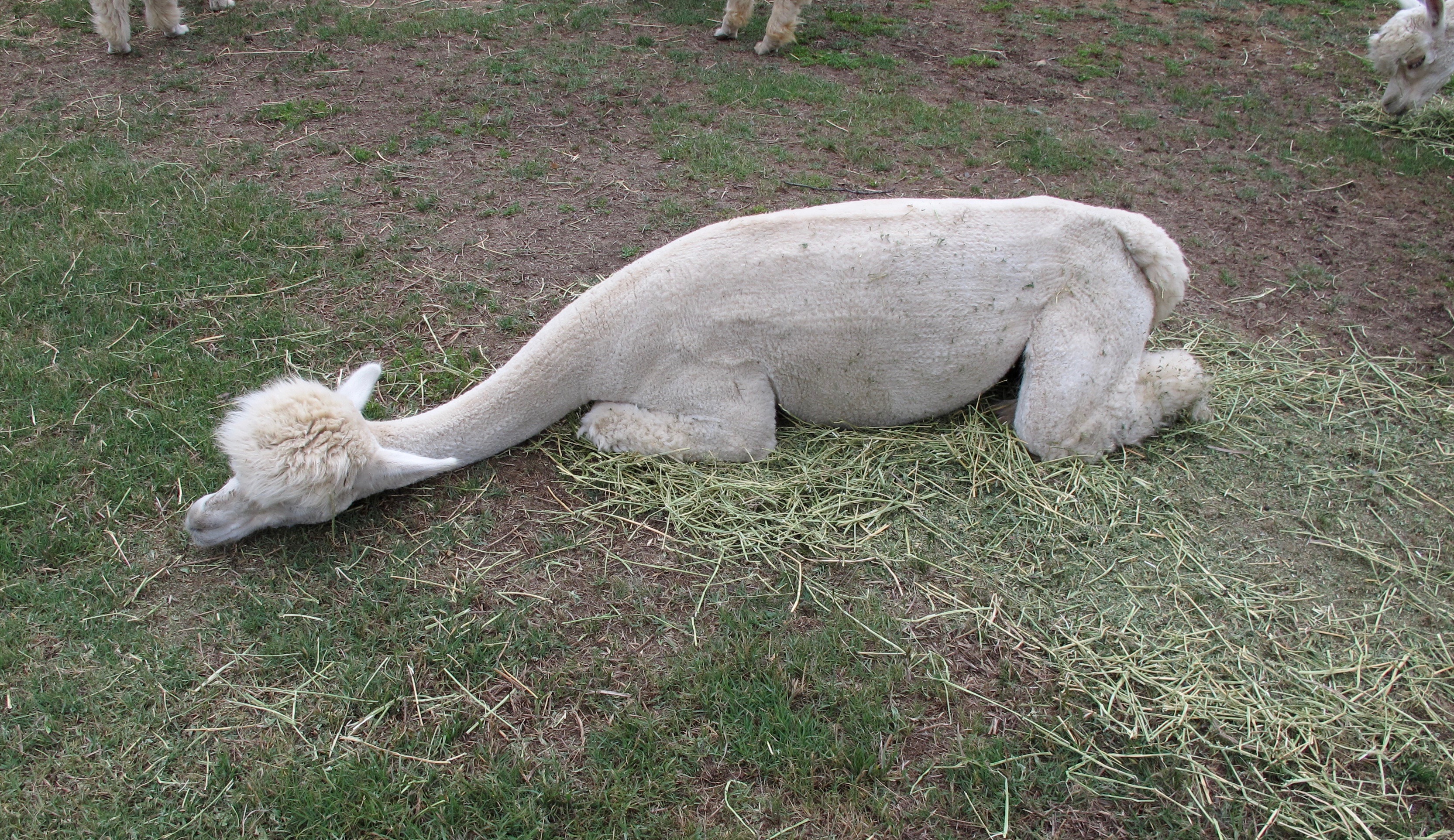
The other guard/caretakers are two big Great Pyrenees dogs. They are also used in North America as livestock guardians. I wouldn’t mess with these dogs but they were pretty mellow while we were around. The alpacas were recently sheared and that’s why it looks like little waves in their coats.

Just restin’, Mom.

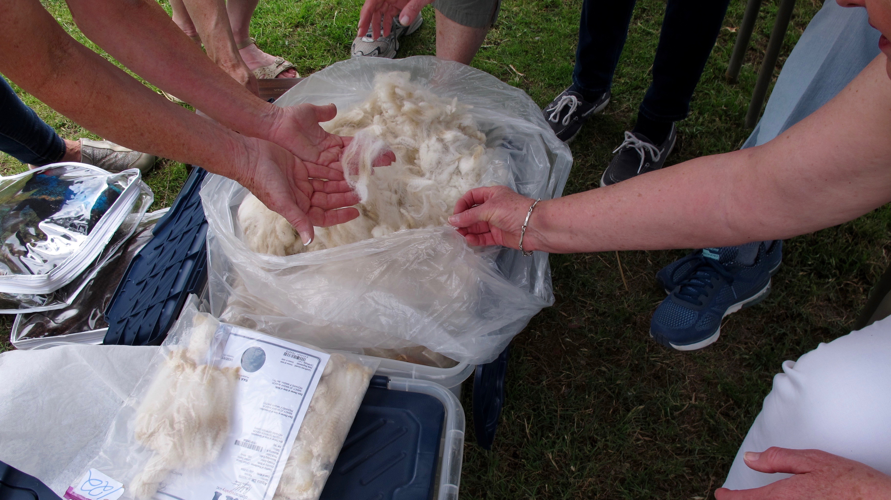
Nancy, Shiloh Springs co-owner, showed us some fiber and items she has made.

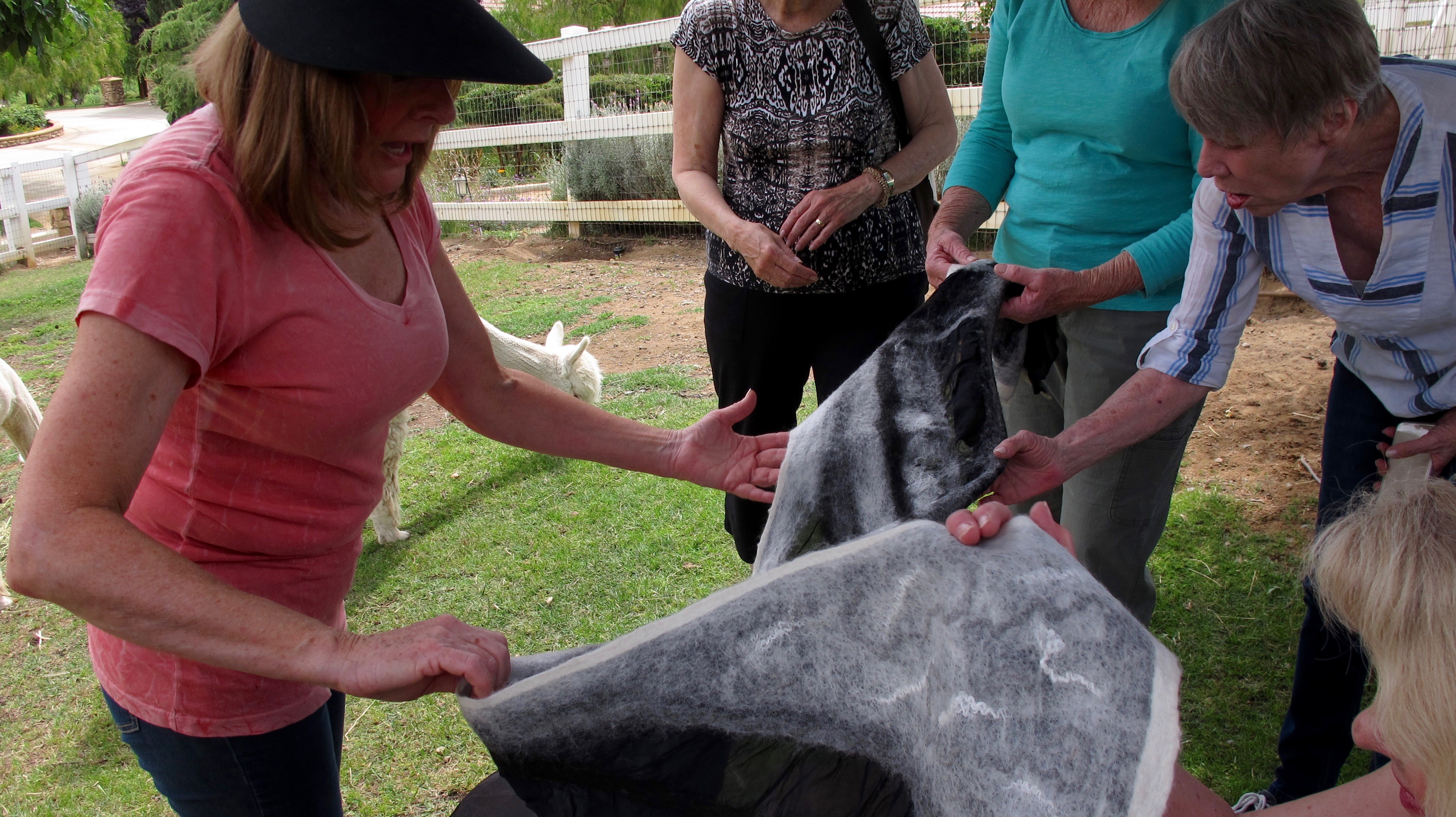
One of the things she does with the wool is called felting. She makes a design with the different colors of wool and then lays it out on a piece of silk and the wool/yarn strands somehow hook onto the silk. One doesn’t need any glue to make this work. This picture shows the outside (the farthest away) and the inside (nearest).

A vest made with the felting method.

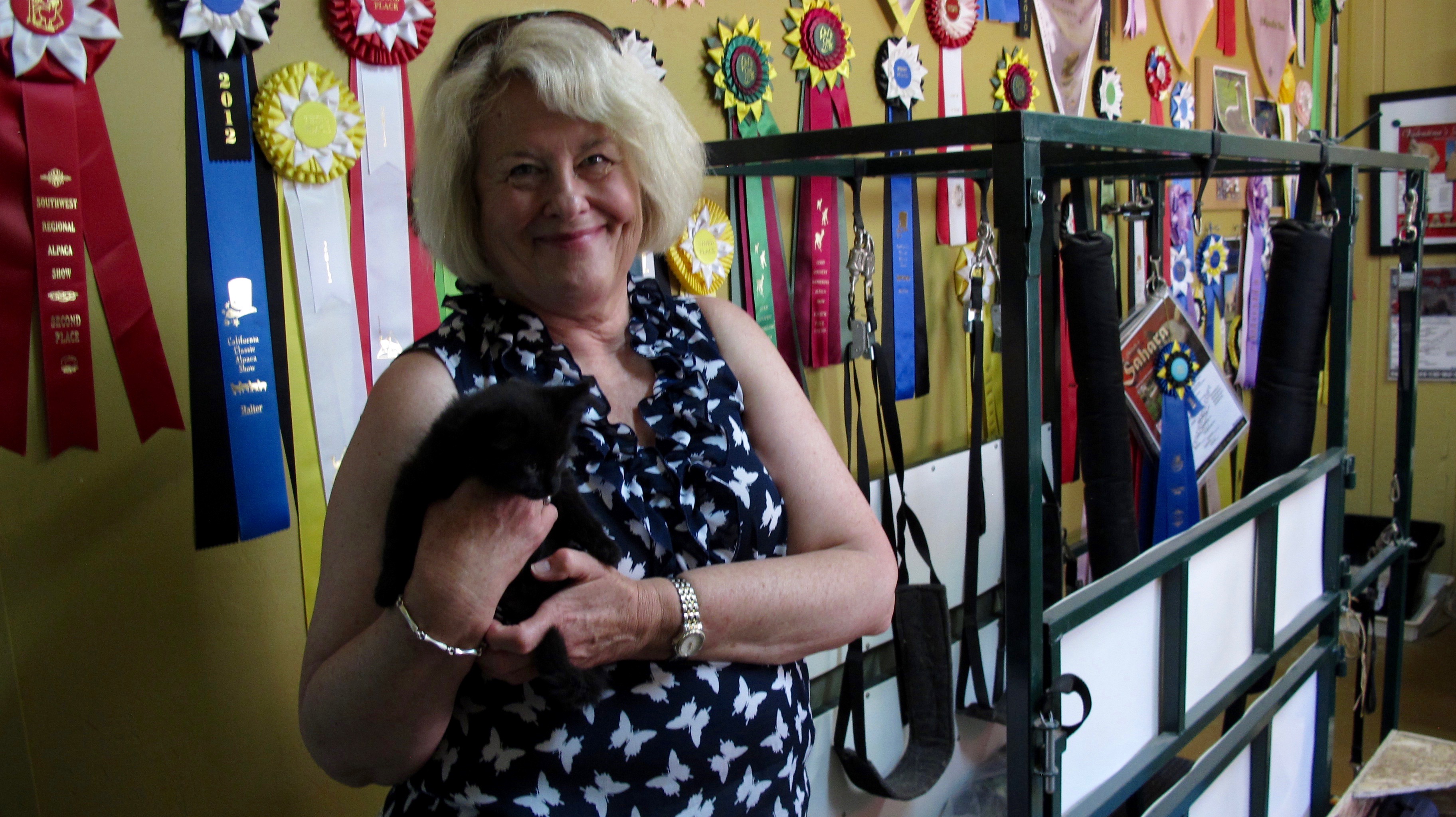
Not only did we get to see the alpaca products but we got a tour of the other ranch areas, such as their veterinary facilities and a work place to make more products. Nancy was a foster mom to a pregnant cat and Diana is holding one of the offspring. You can see some of the many prize winning ribbons on the wall behind Diana.

Elizabeth has found a new alpaca buddy.


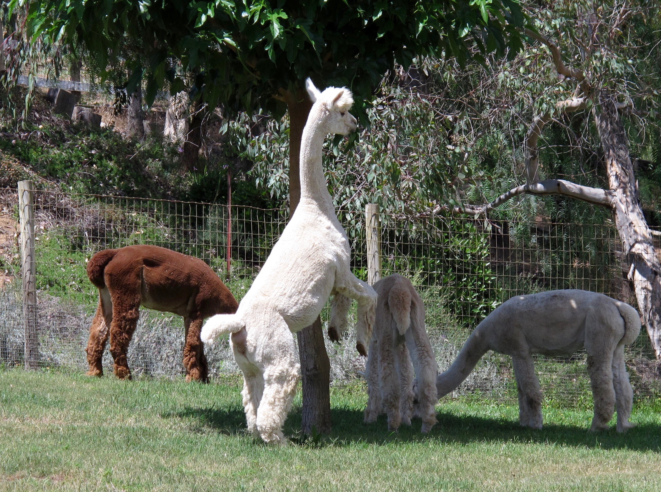
The girls like the tasty leaves on the trees in the pasture and reach up to get them.

Multiple photos were taken of us in this pose with the girls and not one of them has everybody looking in one direction. We all had such fun with these animals that were a bit shy with us at first but they allowed us to pet as well as feed them. Maybe we were all alpaca whisperers.

I loved the cute faces of these animals. Personally, I could have spent a few more hours with them as it seemed that all of them were curious and wanted to be friends at one time or another.

We zoomed off to another Temecula winery to have lunch and proceeded to get a selfie of the entire group just as a tiny breeze came up to toss the hair.

We missed those who were not able to join us and hope you will be able to come next year to frolic in Murrieta/Temecula. Dot is a gracious hostess and we truly appreciate all she did to prepare for us.  Thanks to those of you who sent pictures.  It’s great to see other people’s photo views.  Just one more thing.  We have known each other for more than 55 years and have been getting together as adults for many years.  I think it’s marvelous and extraordinary to have this unconditional friendship and still be able to get together to chat, share, laugh and enjoy each other’s company.

THE END


Berlin-Ichthyosaur State Park April 19, 2017

23 Apr

Berlin-Ichthyosaur State Park was first established in 1957 to protect and display North America’s most abundant concentration and largest known ichthyosaur fossils. The park also preserves the turn-of-the-20th century mining town of Berlin, as well as the Diana Mine. It is a tad northeast east of where I live Minden, in the middle third of Nevada, and is 172 road miles (or about three hours) away. (Click on the images to see more detail and color)

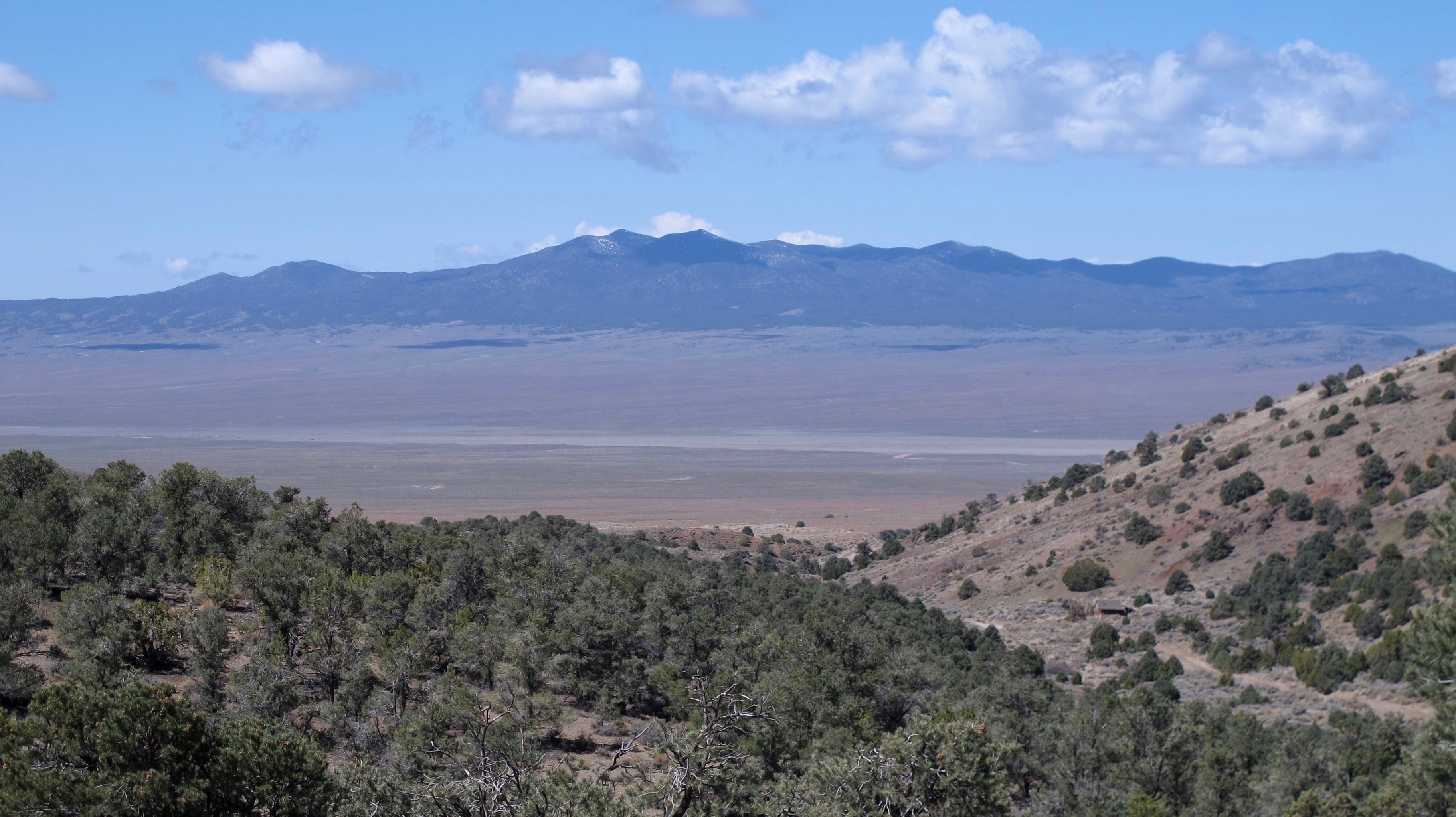
The elevation ranges from 6,840 feed to a high point of 7,880 feet. The hillsides in the park are covered with sagebrush (the state flower), while piñyon pine (state tree) and Utah juniper dominate the upper elevations. This is looking toward the Berlin town site.

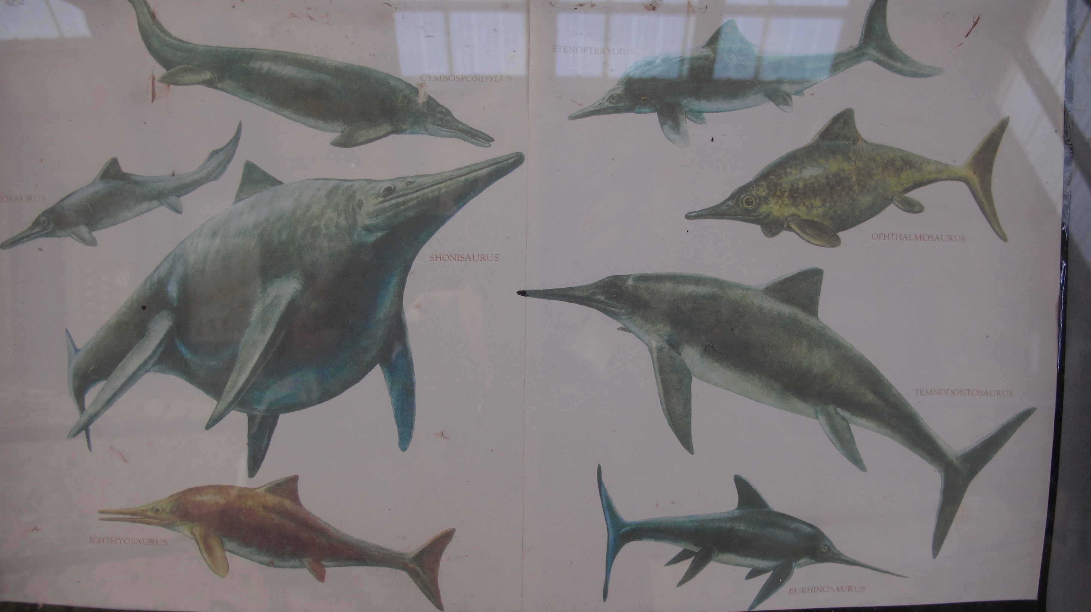
All of us were most excited to get to see the Ichthyosaur fossils at this park. “Ickys” were prehistoric marine reptiles ranging in size from two to over fifty feet in length! The largest specimen (now the state fossil) dubbed Shonisaurus popularis after the Shoshone mountain range where they were discovered in 1928.

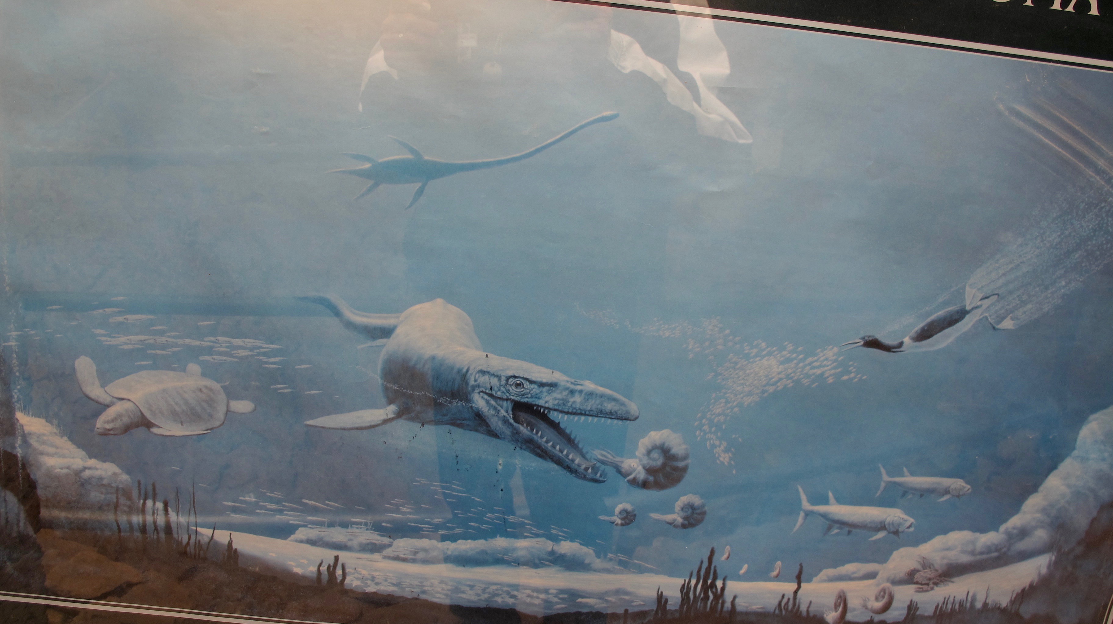
This is a life-sized painting on a wall near the fossil shelter. You can see how big they were compared to humans. Their eyeball was really that big in comparison to their bodies.

One of their favorite foods was an ammonite that would have been free swimming in the ocean.

Check out those jaws!

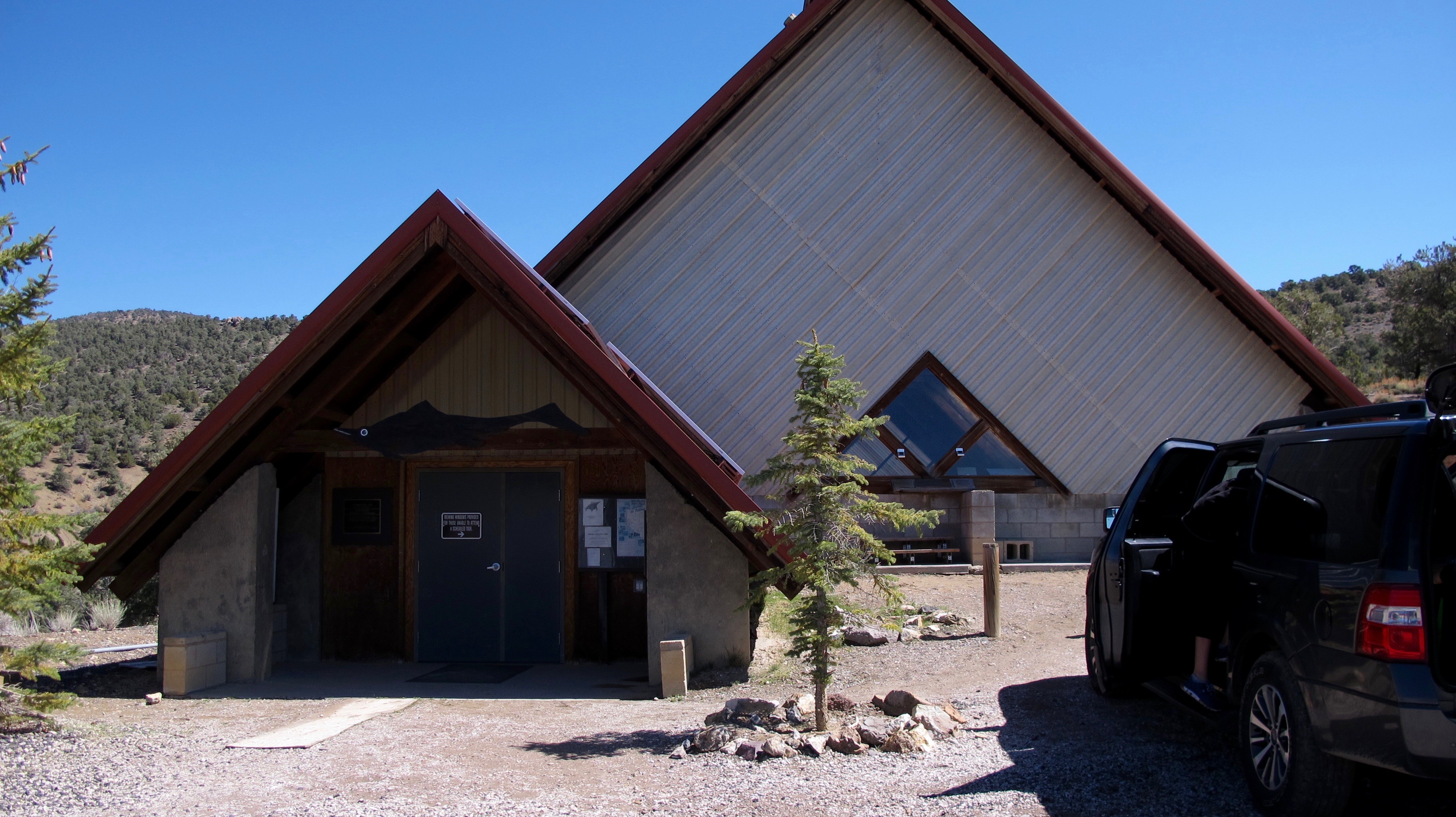
The Fossil Shelter, high up in the mountains, covers many ichthyosaur fossils still embedded in the ground where they were found. It is a fascinating exhibit! We were very fortunate to have talked to Ranger Jeff, who took time to give us a special tour of this facility. The regular tour season doesn’t begin until May 1. It pays to talk to people and let them know how interested you are in what they are saying.

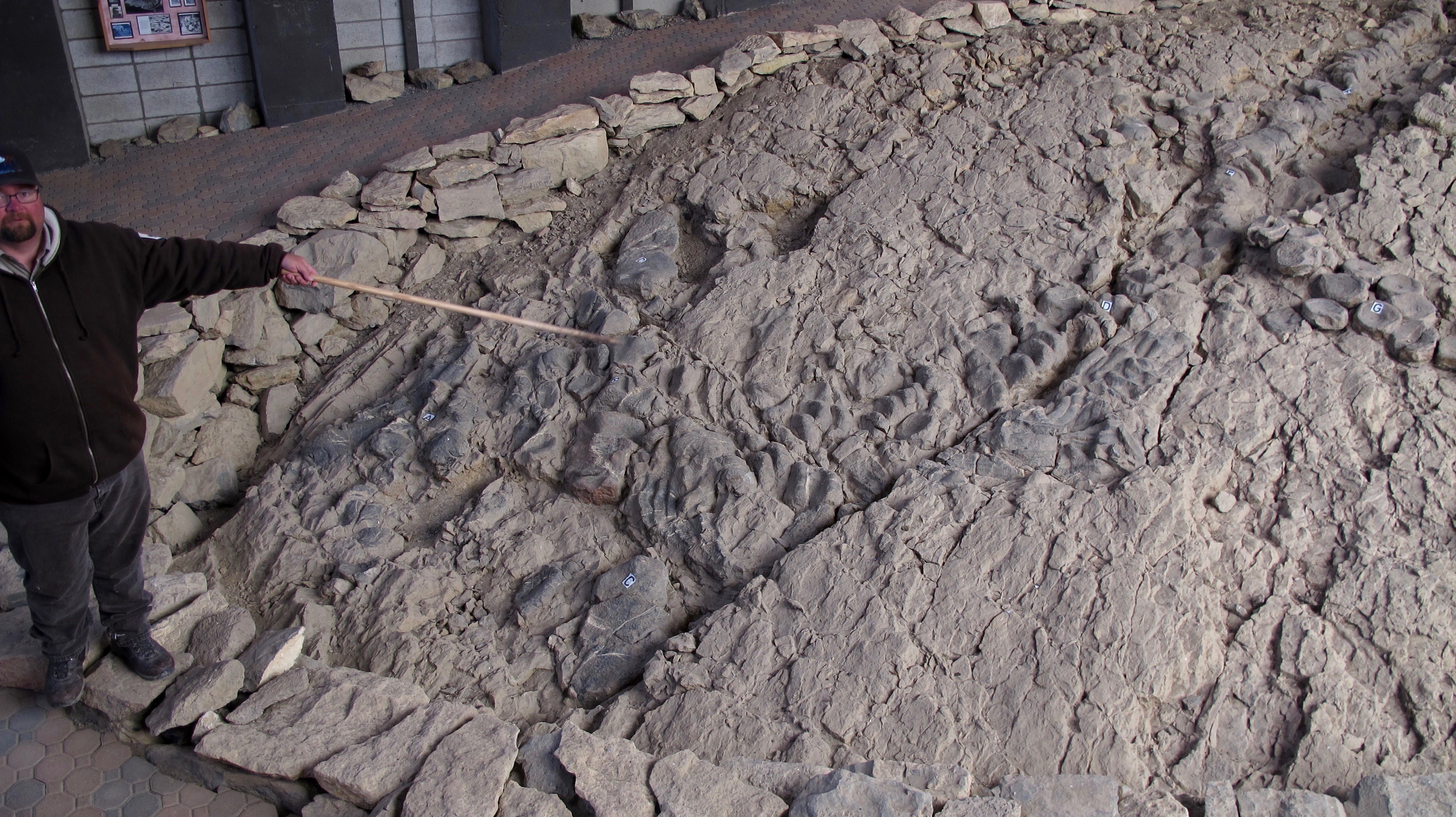
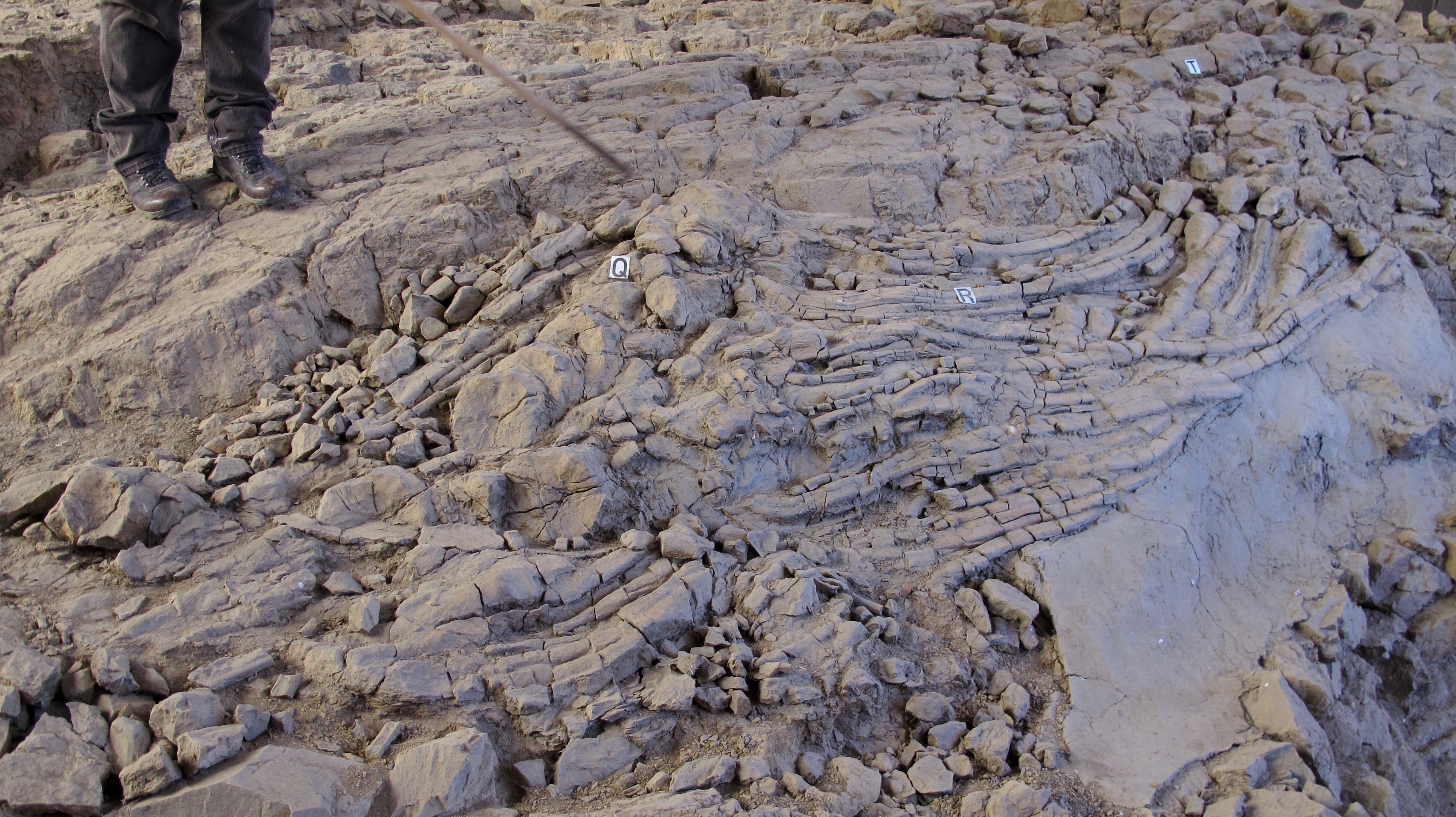
Jeff pointed out where the fossilized remains were and how they “stacked up” in relation to each other. What do I mean by “stacked up?” That’s what the fossils are.

It is not known if the “ickys” beached themselves or just how they got in this position.
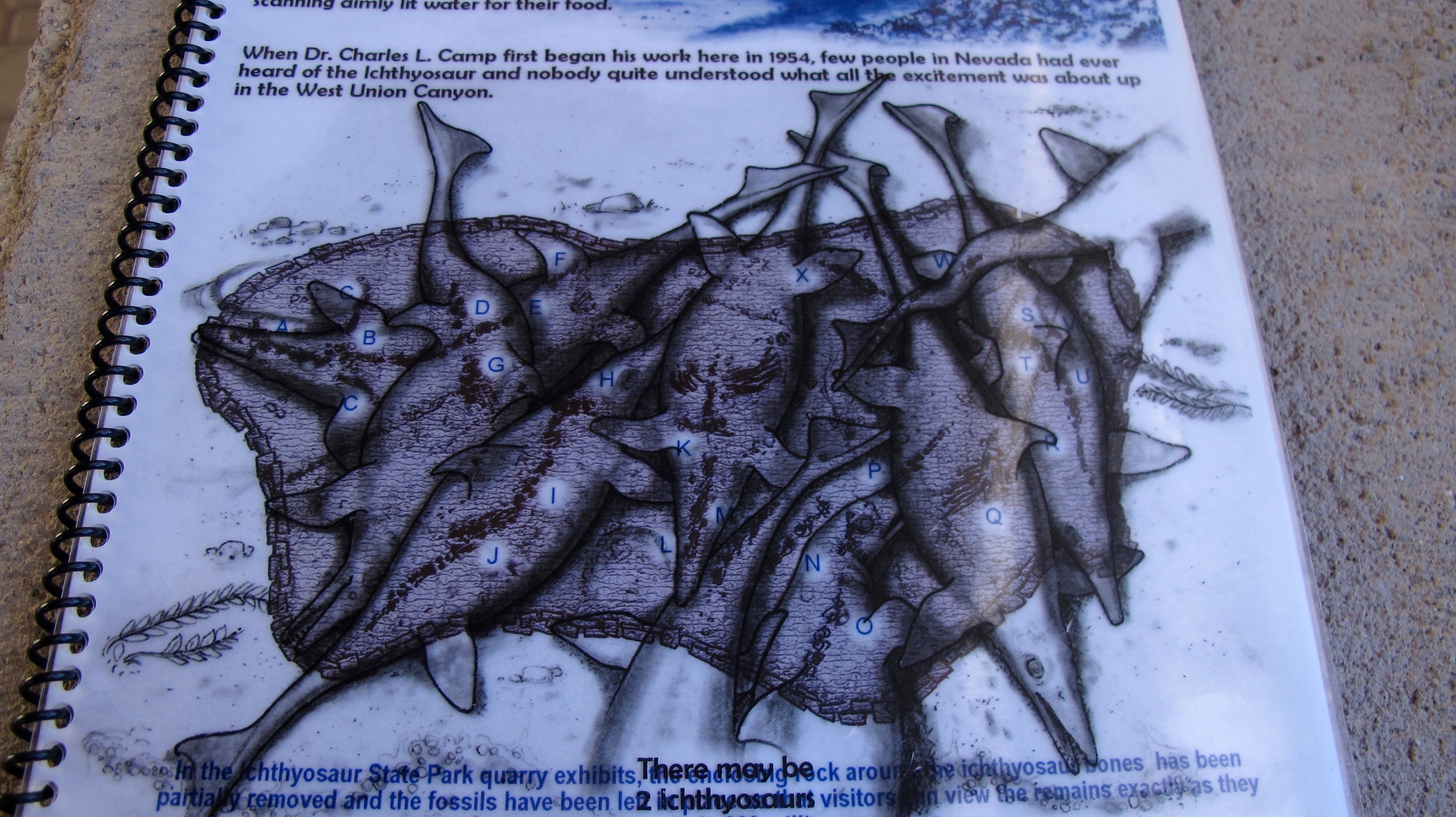
But here is an overlay in a pamphlet that shows how the bodies were on top of one another.

Now, with the overlay taken off, you can see the outlines of the fossils. The letters are areas where Jeff pointed to and then we could see a skull, an eye socket, flipper bones, etc. I found this very interesting and a great technique to aid amateurs in figuring out what they were seeing.

Jeff is pointing to some ichthyosaur ribs, vertebrae and flipper bones. I would have thought they were just layers of mud. I really enjoyed being in this fossil shelter and felt privileged that we were the only ones in there that day.

We drove back down the mountain with this view to Berlin to eat lunch and then walk around the Berlin site. It was a pretty day.

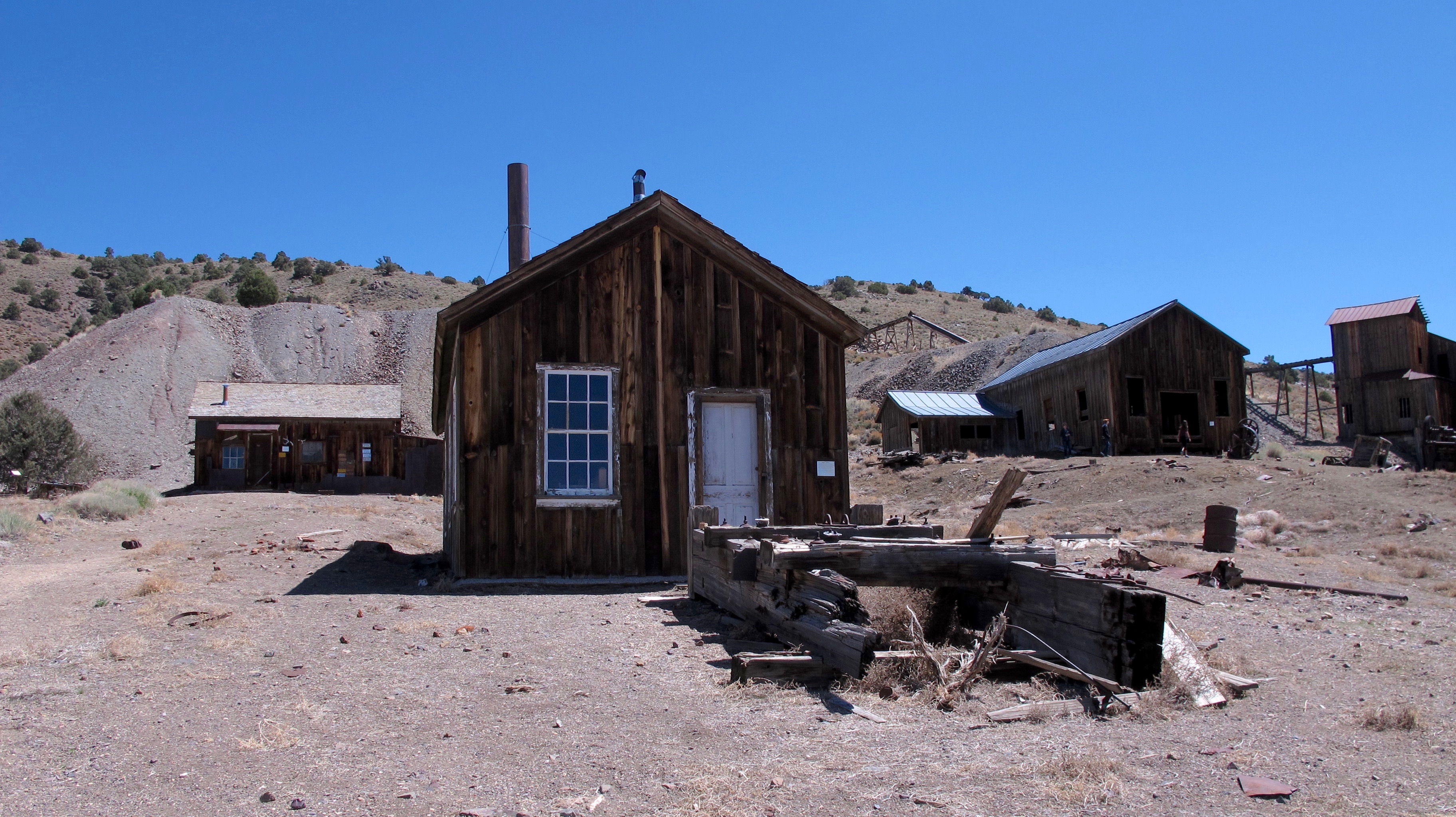
The Berlin State Park contains many historic buildings, which are maintained in a state of “arrested decay,” much like the Bodie State Park is in California. These buildings offer a visitor a glimpse of Nevada’s mining past, with varied period artifacts and effects on display.

Old pickup in front of the machine shop.

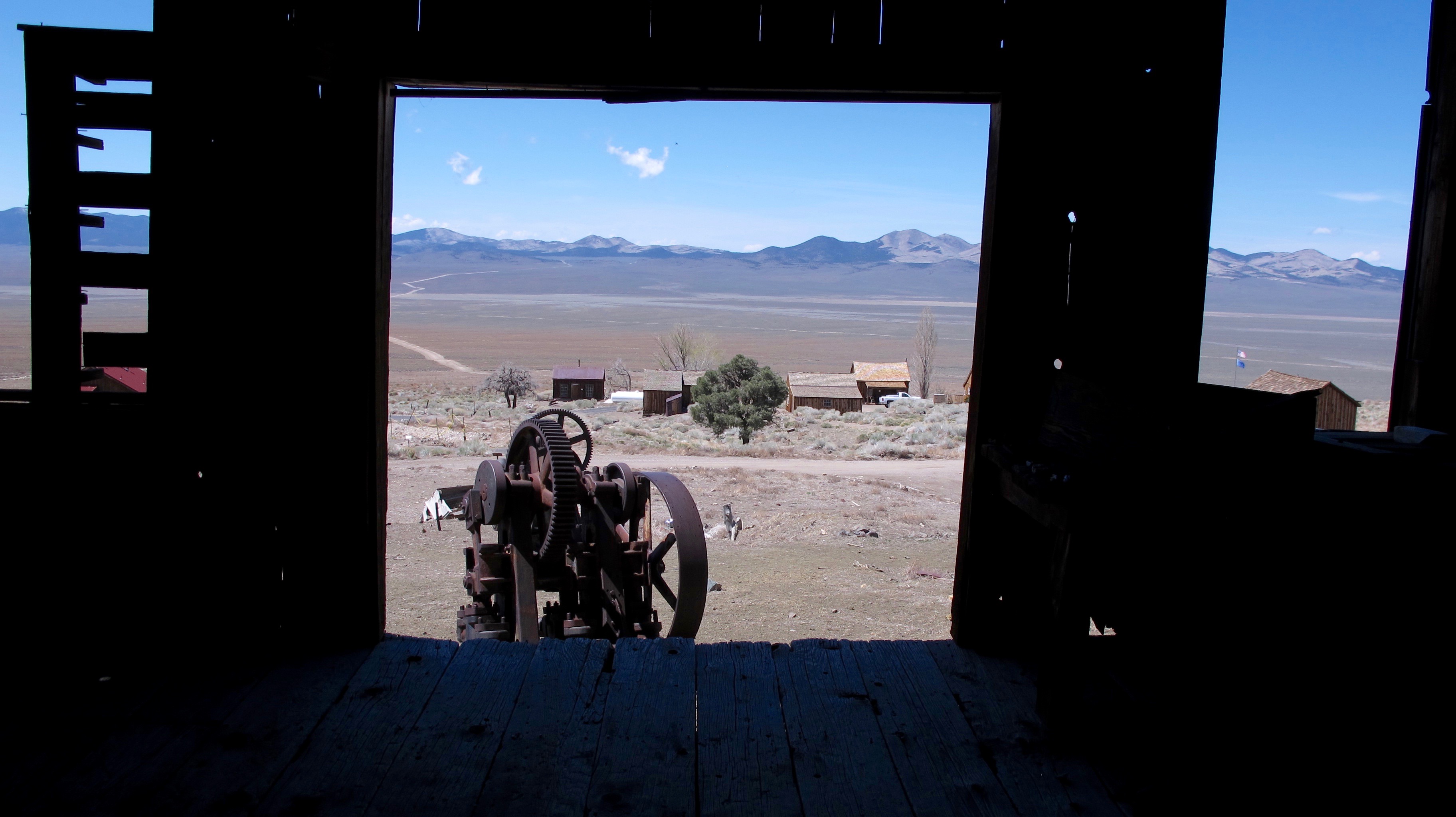
From inside the machine shop overlooking the town and valley.

An overview picture of Berlin with the large mill on the left side. Berlin’s population never exceeded 250 and many of the people’s buildings no longer exist. We did walk around the very well marked area where cabins/houses had been and learned a lot from those signs.

The Berlin Mine hoist that took out the ore that sits just above an abandoned incline mining shaft that struck eastward into the Shoshone Range. The Berlin Mine was in operation from 1897 to 1910. It was a 60/40 mine, 60% silver and 40% gold. In the 13 years of operation, they extracted $849,000 in precious metals from the mine.

We saw several abandoned mines while hiking around Berlin. There are hundreds of those mines throughout Nevada that are very dangerous due to bad air, rotten timbers in the shafts or ladders, or poisonous varmints that could hide in them.

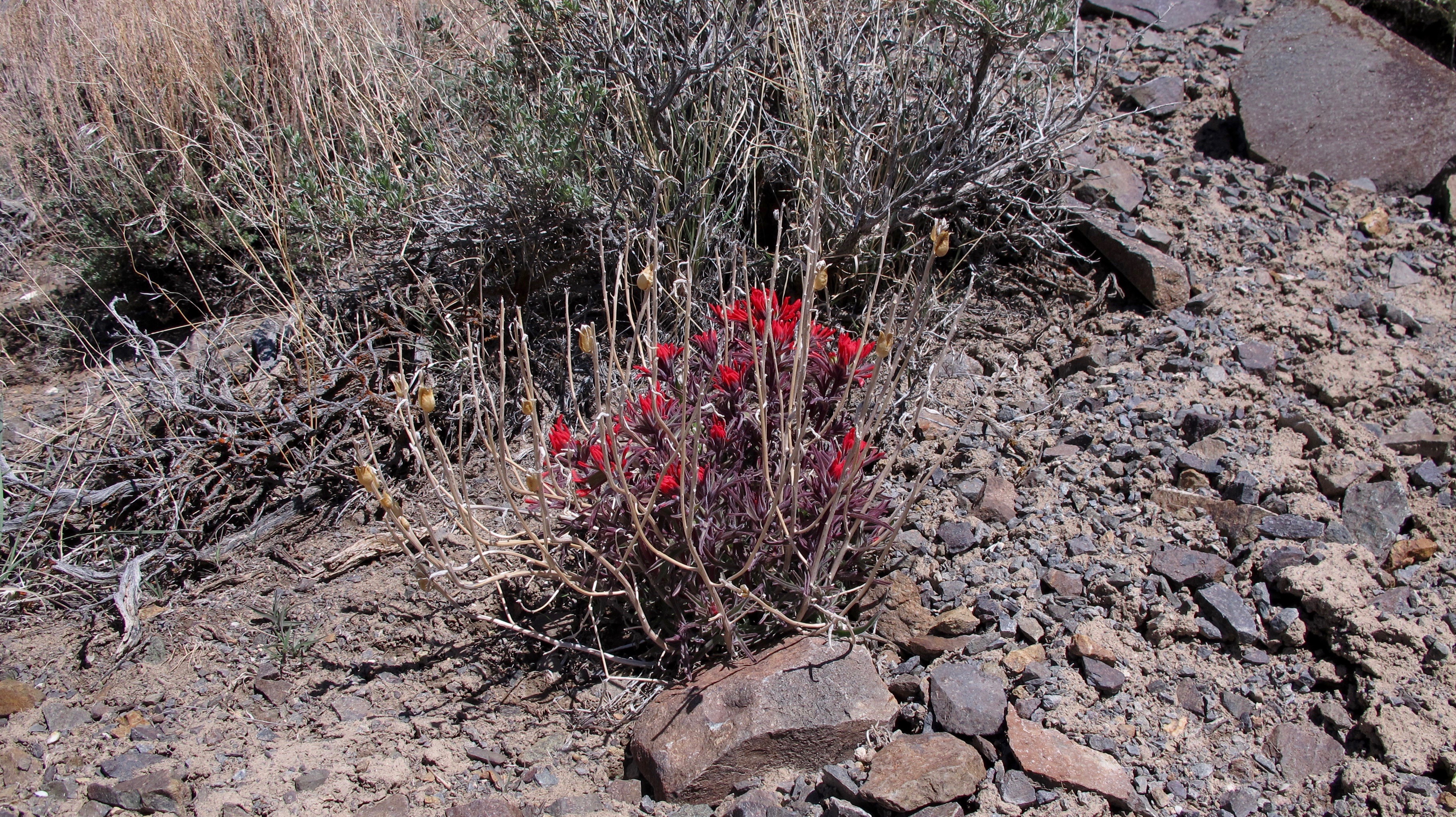
An Indian paintbrush is the only flower I saw in my trek around the town.

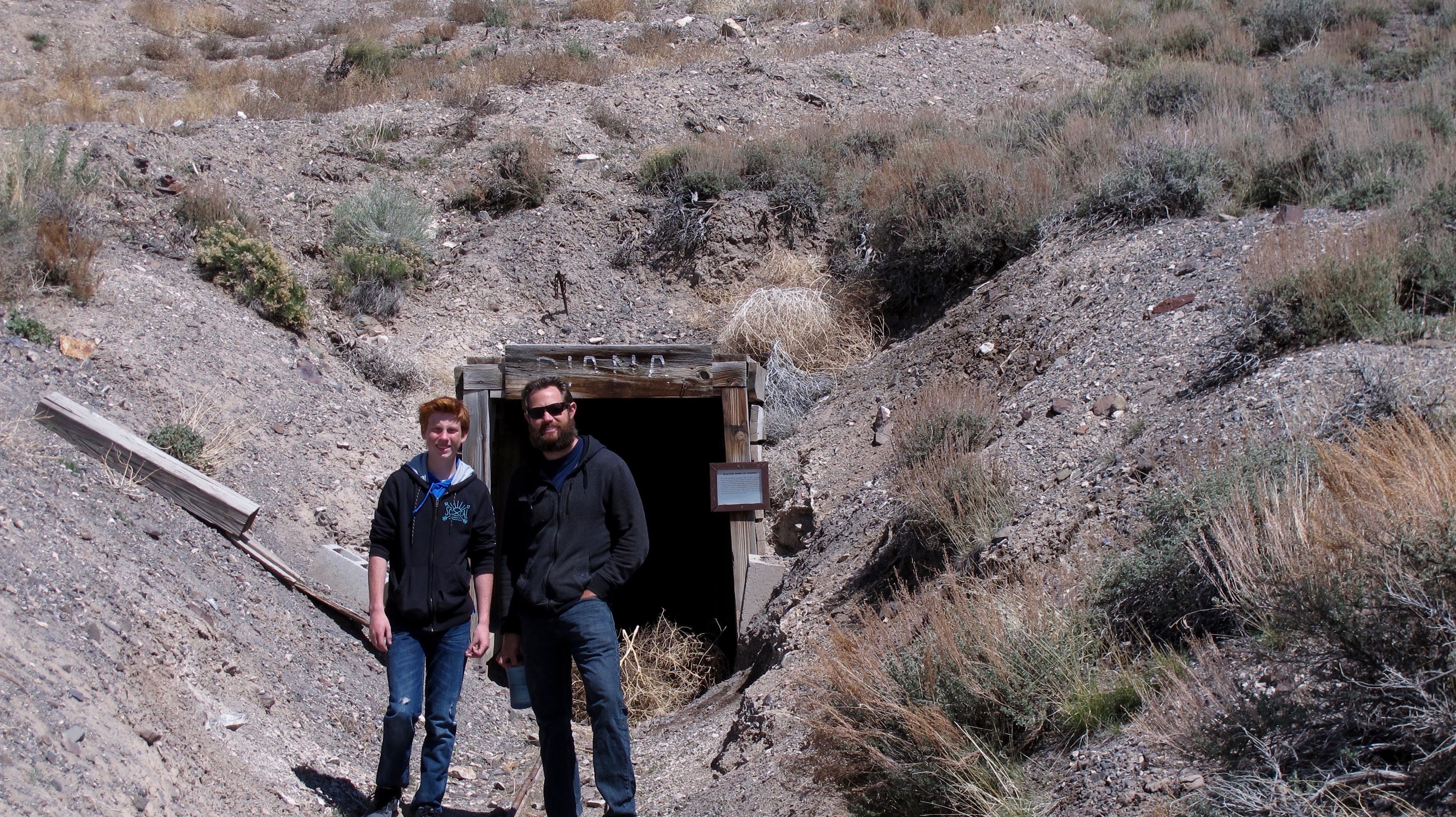
Dalan and Jason at the entrance to the Diana Mine. It was just a few hundred yards from the town of Berlin. Tours are given on weekends from May 1 to September 30.

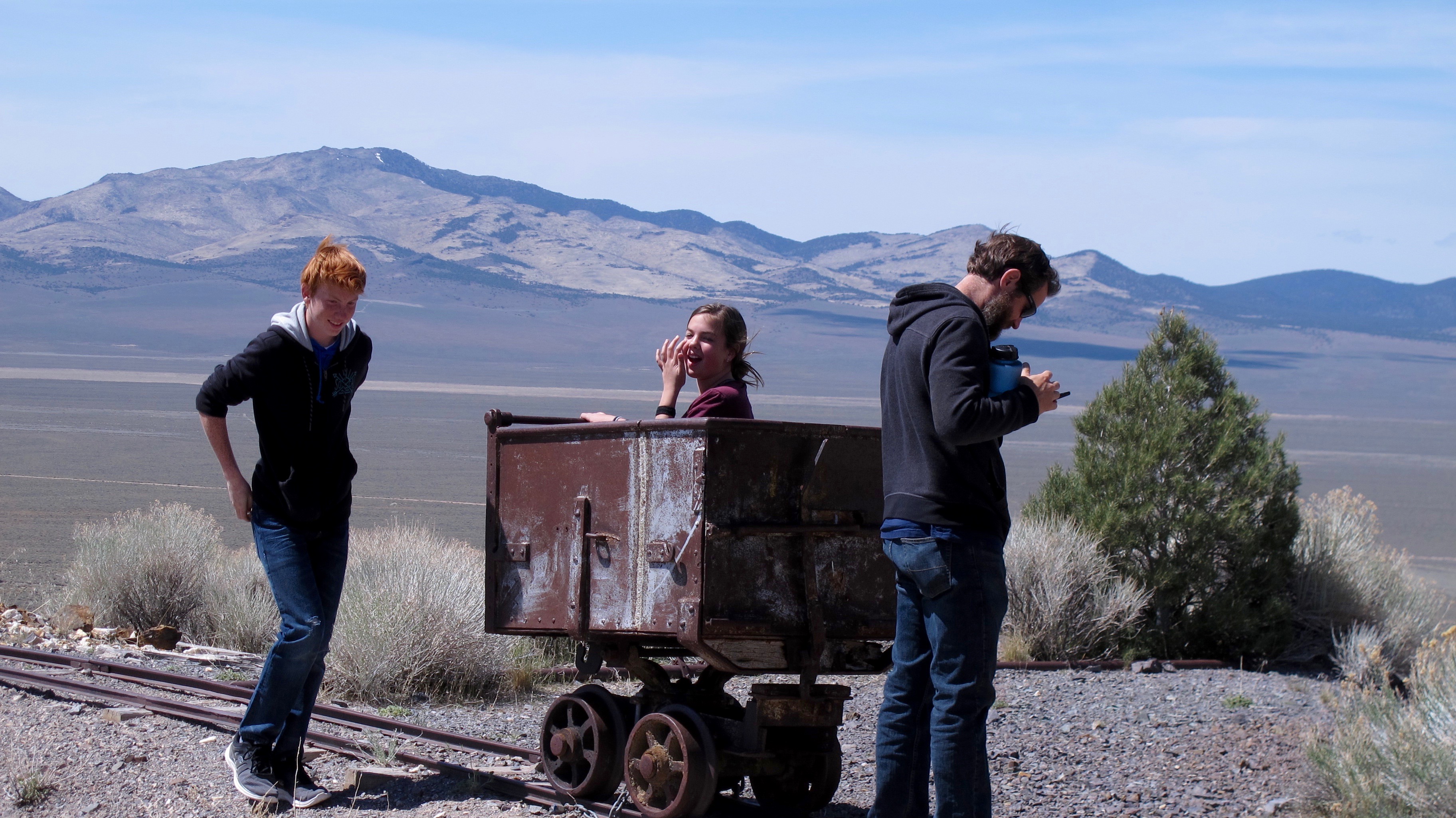
Dalan, Megan and Jason around a Diana Mine ore car.

Megan is standing at the end of the ore car track where tailing and junk were dumped from the Diana Mine. Our exit road is stretching off in the distance. It crosses the Paradise Range where it joins another highway that takes one back to Hwy. 50, “the Loneliest Road in the US.”

The visitor’s center with a 45 star flag flying over the Nevada state flag. The flag coincided almost exactly with the hey-day of Berlin, commencing in 1896 with Utah’s statehood and ending in 1908 with the addition of Oklahoma to the Union.

It rained and snowed at the Berlin-Ichthyosaur State Park the day before we arrived, but as you can see from the pictures, we had perfect weather. It was such a gorgeous day (albeit a tad muddy in some areas) that it felt great to be outdoors to breathe perfect air, enjoy the sounds of outdoors, see and experience new sights, and enjoy being together as a family.

Capricious Spring Days in Minden April, 2017

12 Apr

Recently, we had zephyrs that gusted over 70 miles an hour and they were probably much faster in the high elevations. It is not unusual for us to have these damaging gusts when a front is moving into or through northern Nevada. I think these “breezes” are why we sometimes don’t bother to rake leaves and other stuff because they will blow over to the neighbors’ yards in a day or two. That’s a local joke here as we really do rake our stuff. Anyway, the winds lasted all day and into the night and made it a fairly miserable day to be outside. The outside temperature was in the low 50s but the wind made it feel MUCH colder than that.
A friend at the gym told me that she and her husband finished planting their hayseed about noon on that very windy day and she thought they might have quite a bit of it blown away. Why didn’t they wait, you ask? It’s because they were trying to beat the rain that was coming that would help make the seed get into the ground and grow. Such are the fortunes of a rancher/farmer.

The winds did bring rain into the Carson Valley and snow into the very high elevations. It rained off and on all day and again into the night giving us more than an inch of moisture. Again, not a great day to be outside.  It was so bum outside that I elected to do my most dreaded chore of cleaning house. I had put it off too long and it did need to be done. My mother would really be on my case if she knew how I keep house.  (Click on the pictures below to enlarge.  The bird pictures will not because they are from the internet)

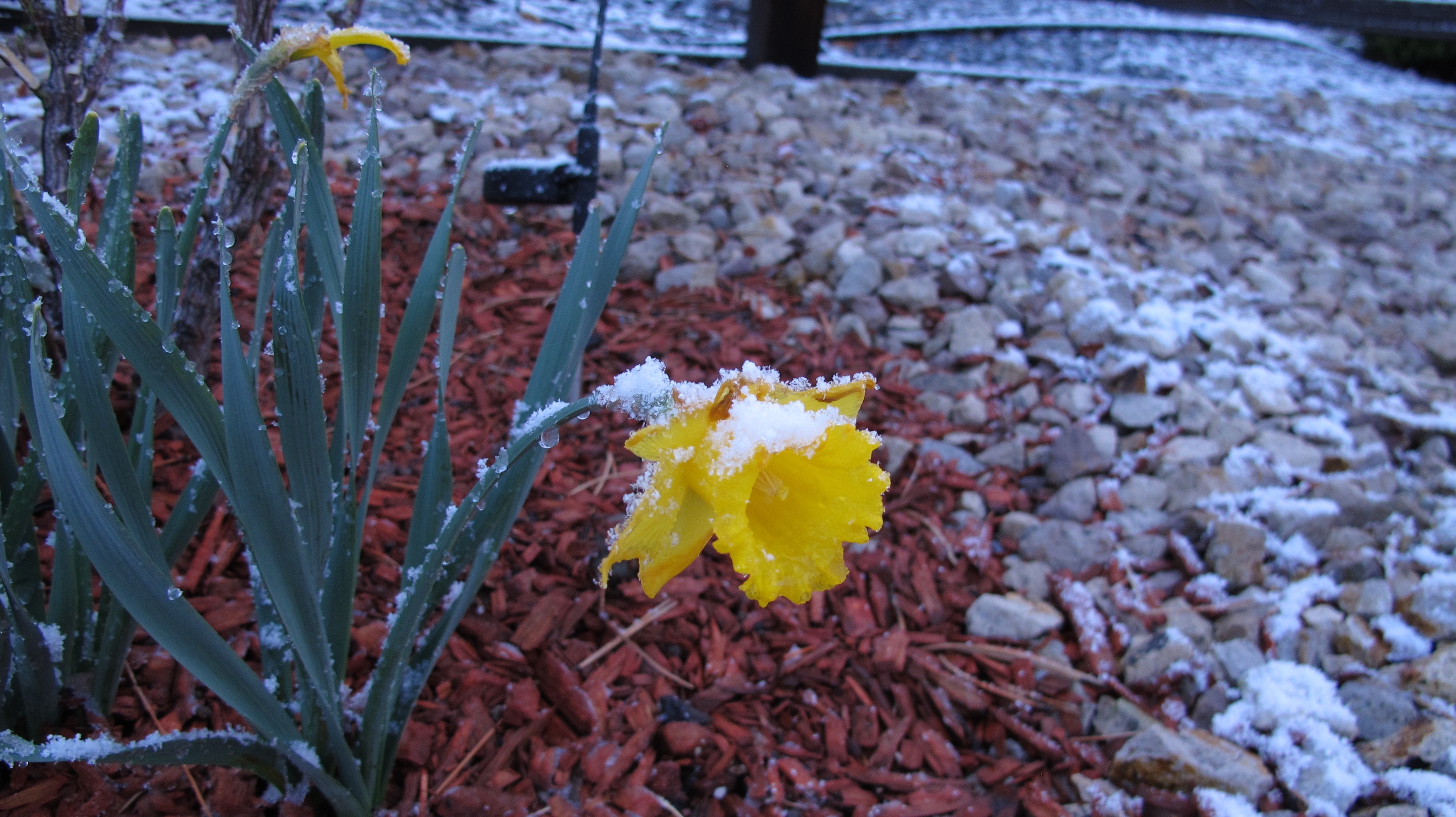
Much to my surprise, I awoke the next morning to a very light covering of snow. In fact, it was still lightly snowing when I went out to feed the birds about 6:30. This poor bedraggled, wind-whipped daffodil shows how light the snow was. Daffies always amaze me, as they tend to be the first flowers I see that survive vicious winds, snow and rain.

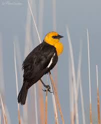
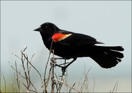
Speaking of birds, beside the normal quail, gold finches, white-crowned sparrows, ravens and hawks, very hungry yellow-headed blackbirds and tricolored/bicolored blackbirds have returned in force.

I counted 79 (give or take a few) in the tree next to the house. You’ll have to trust me on that number because by the time I got my camera, many had flown away.

Blackbirds are such fun birds to watch…always singing to each other with a “liquid, gurgling konk-la-reee, ending in a trill. …Most common call is a chack” (National Geographic Field Guide to North American Birds) (How do they think up these sounds? I shouldn’t say anything because I have trouble describing birdcalls) Now that I’ve looked up the bird, I find that the tricolored lives primarily in central and coastal California. So I guess what I’m seeing is a red-winged or bicolored blackbird. On the other hand, perhaps these birds lost their compass and like my back yard.
 

This shows some yellow on his epaulets

The high yesterday was in the mid-forties. The outside temperature this morning was 18 degrees! We had been running in the thirties and sometimes forties. This goes to show you why (even though the planting bug bites us right about now) we shouldn’t plant anything new until at least Mother’s Day. It is not uncommon to have good freezes or even snow in April and sometimes May.

In spite of the cold spells, some things are growing and blossoming. This is the leaning tree in my backyard. The prevailing winds have made it lean but thankfully, it hasn’t toppled yet. As soon as it warms up a bit, bees will be so busy that I will hear their buzz as I walk by the tree. A little peach tree is beginning to bloom just to the left and back of the conical shaped green tree.

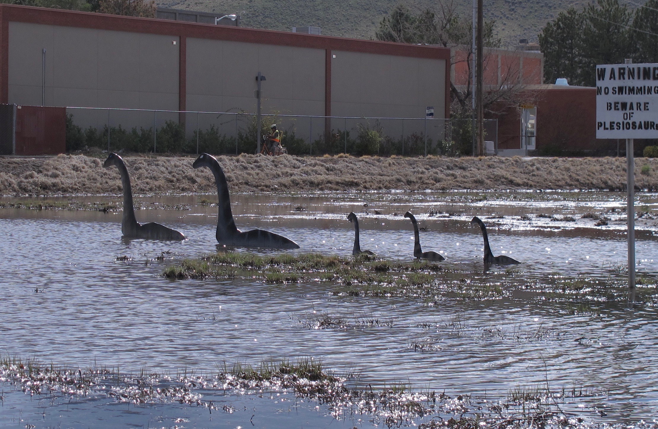
Tahoe Tessie and offspring invaded Carson City right around April Fool’s Day and are still swimming in the pond just kitty corner from the post office!

At least someone was kind enough to post a warning about these plesiosaurs.

Although spring tends to be capricious with all kinds of weird things, it is such a lovely season with everything coming back to life and becoming so beautiful.  Sometimes the weather is so erratic that people say, “Don’t like the weather in Nevada?  Just wait 15 minutes.”  I love to see the snow on the mountains, calves romping in the pastures, migratory birds returning and, yes, even the pests with their little ones (i.e., the ground squirrels).  One thing I don’t like is that I got bit twice by a no-seeum type insect.  Rats.  It must have been just warm enough for them to wake up.  Now those are real pests!

It’s a few days since I wrote most of this and our weather is still being very capricious.  We’re expecting rain again tonight and tomorrow and we have the usual gusty winds going about 30 or more mph(according to the internet).  My anemometer broke so all I can tell you is that it is difficult to walk against the wind.  Ah well, it’ll change in a few minutes…


Death Valley Adventure and Activities February 18 – 25, 2017

4 Mar

It is a tradition for the Tristao family to head on down to Death Valley in February and this year, Jerri, Allan and I were fortunate enough to join them. Jerri and Allan have a motor home, so I was able to bunk in on their sofa. It worked out very well.
Jolee and I drove down together a day after Jason left with their trailer and Jerri and Allan in their motor home. That worked out well too because we didn’t have to help with the set up (not that I would know what to do anyway). About 20 miles north of Tonopah (200 miles from home), we ran into rain that continued off and on all the way into Death Valley. It even snowed in Goldfield. Never have I seen so much standing water alongside Hwy. 95…lakes and ponds that hadn’t seen water for years. Of course, it was all gone by the time we returned home, but it was fun to see. (You will have to click on a picture to get better detail.)

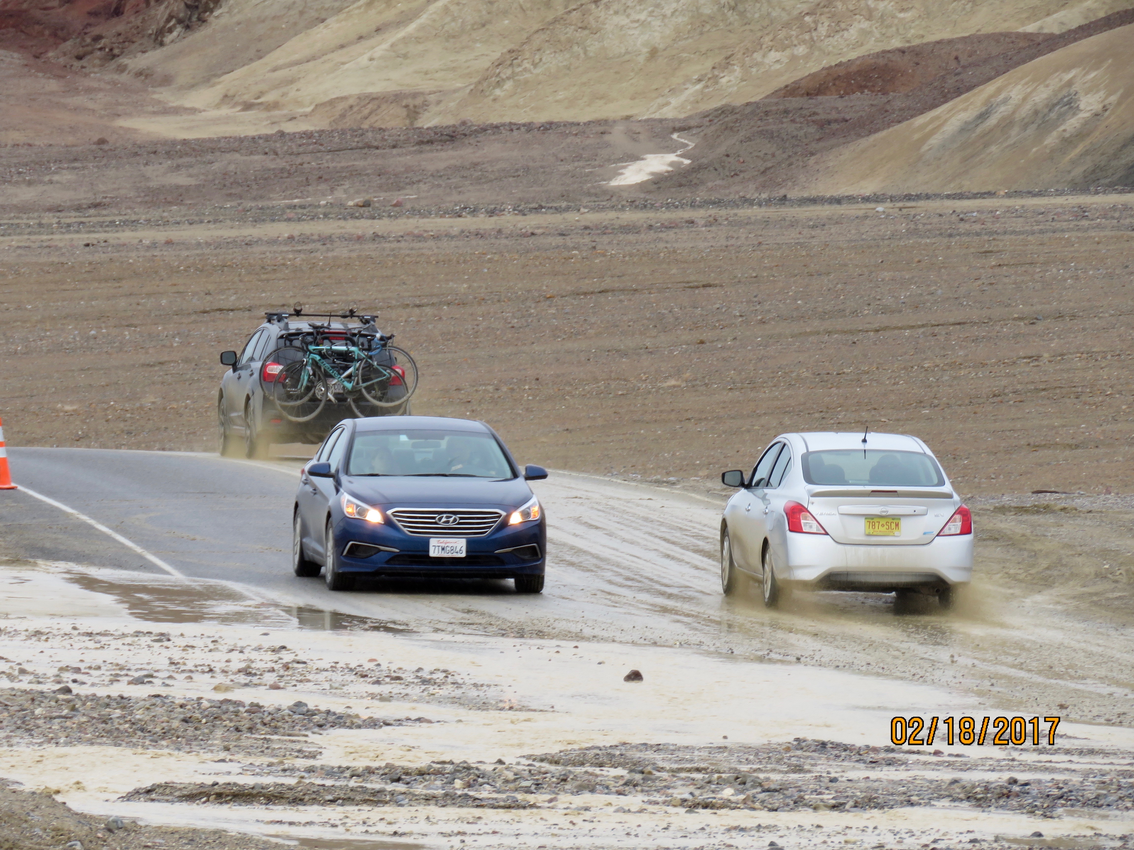
Death Valley has seen its fair share of storms this year and some areas/roads were closed because of it).

Death Valley has seen its fair share of storms this year and some areas/roads were closed because of them.

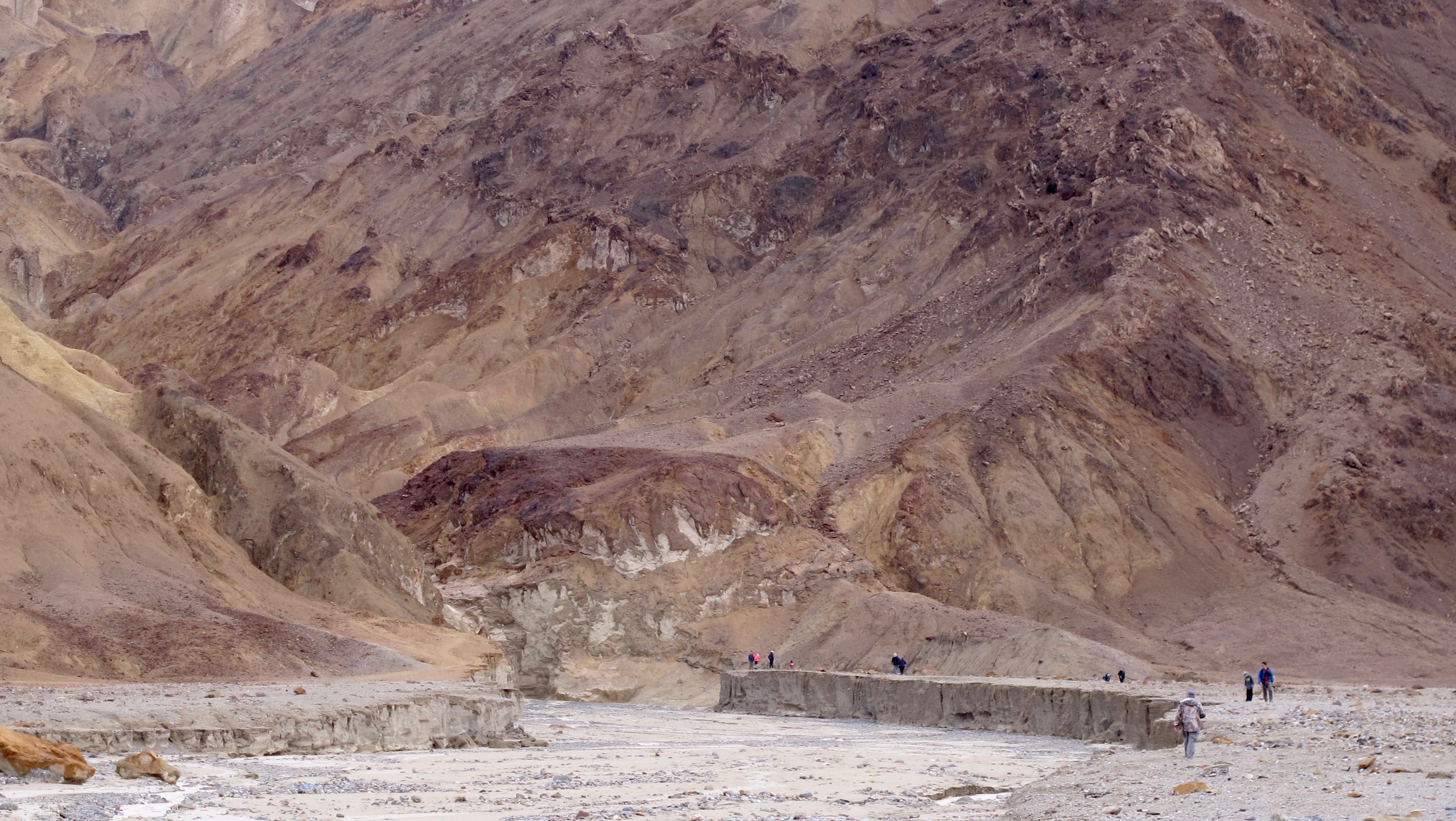
There has been a lot of erosion from the mountains and it becomes very easy to see how alluvial fans are formed.

There has been a lot of erosion from the mountains and it becomes very easy to see how alluvial fans are formed.  Check out how small the people seem compared to the small cliff they’re standing on.

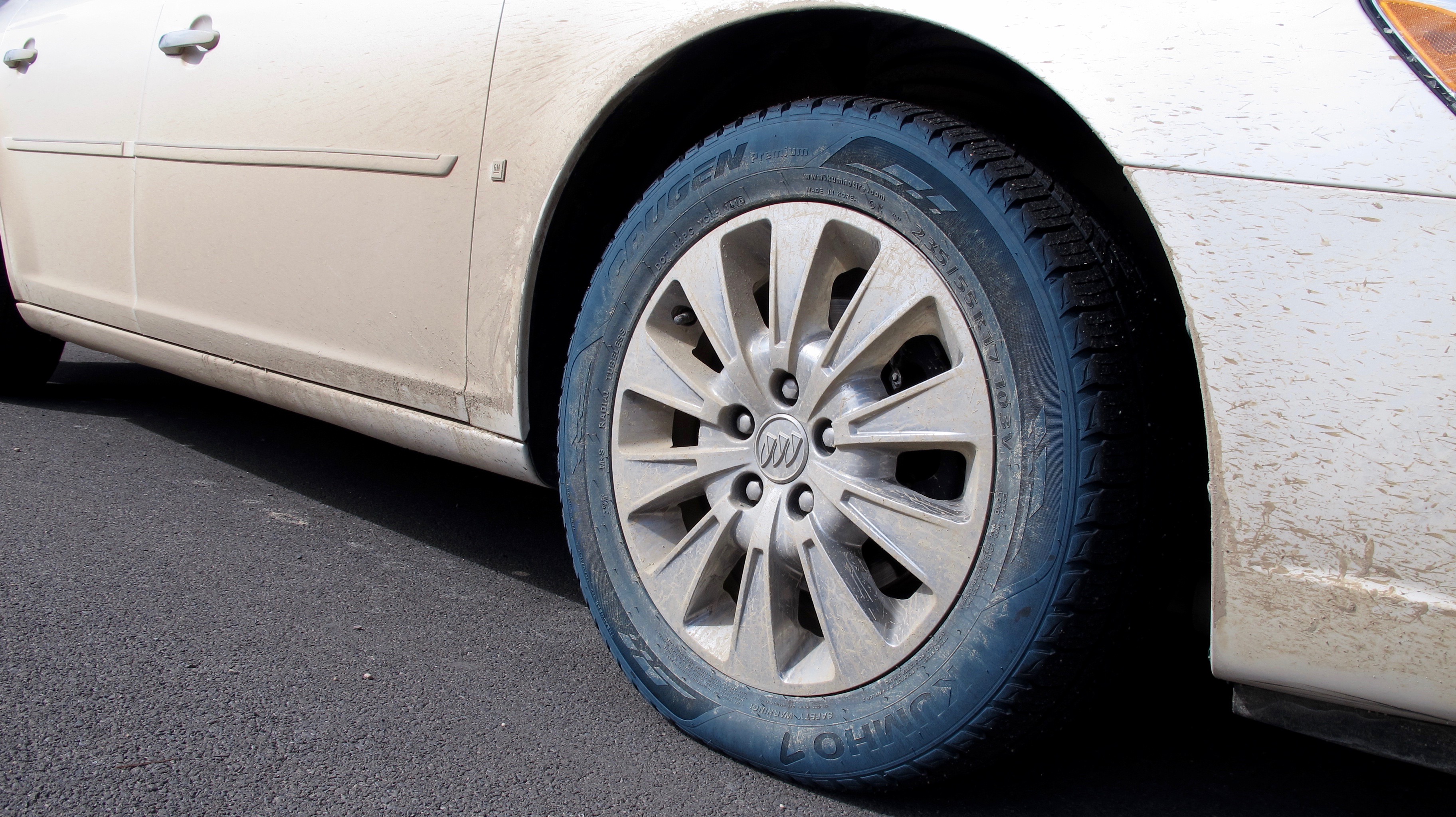
The weird thing about driving through the floodwaters in DV is that it turned my tire sidewalls blue. Other than some chemical reaction, I have no clue as to why that happened.

The weird thing about driving through the floodwaters in DV is that it turned my tire sidewalls blue. Other than some chemical reaction, I have no clue as to why that happened.

We drove to Badwater that arrival afternoon to see how it was doing and ran into many tourists. Like us, the weather was not going to deter them. Jerri took a much better picture than I did and that is why she’s not in the photo instead of me.

We drove to Badwater that arrival afternoon to see how it was doing.  Jerri took a much better picture than I did and that is why she’s not in the photo instead of me.

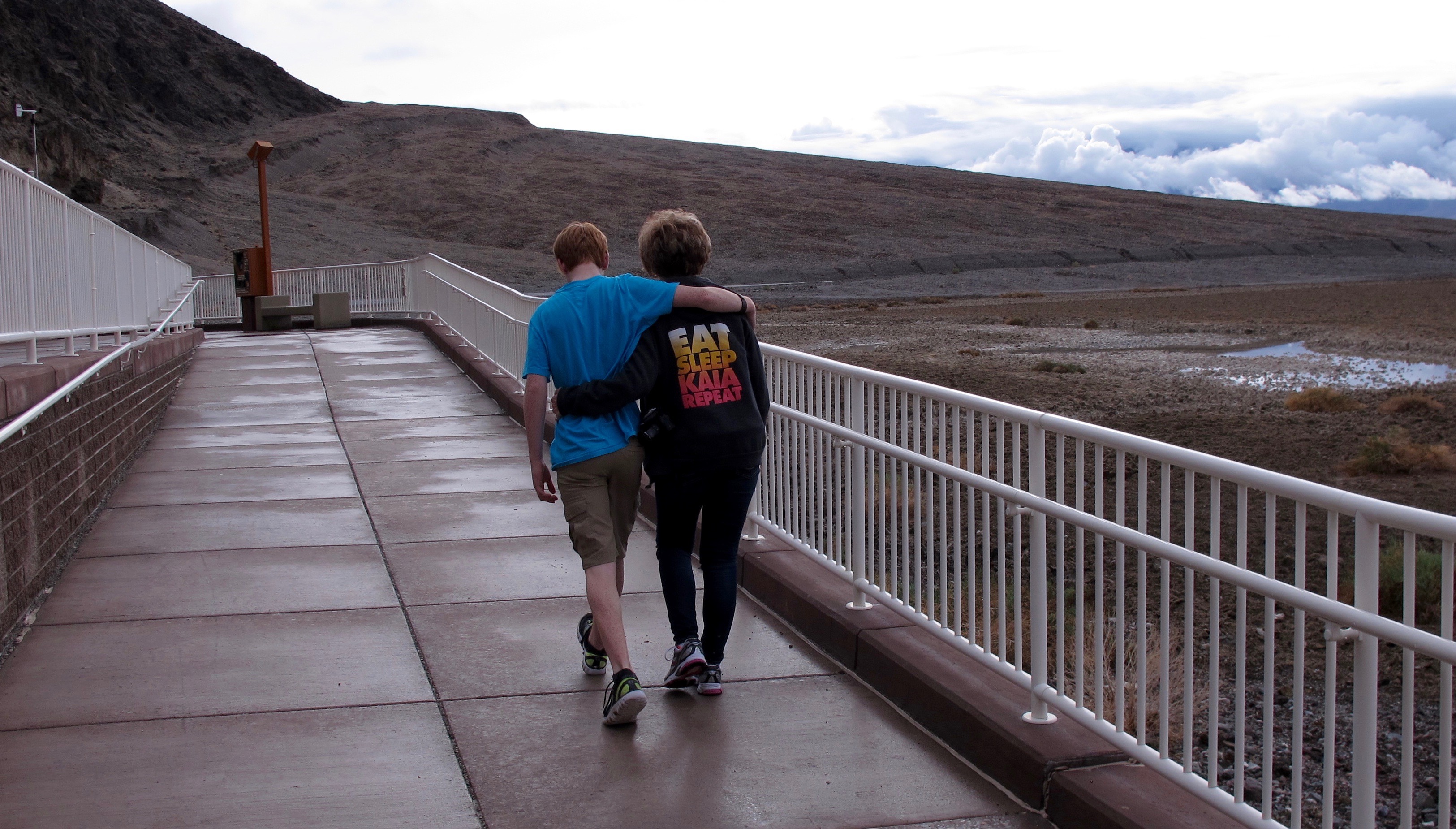
Dalan and his grandma (Jerri) are very close. Even though he’s fourteen, he still likes to be with adults. Jerri and I think that’s cool and very sweet

Dalan and his grandma (Jerri) are very close. Even though he’s fourteen, he still likes to be with adults. Jerri and I think that’s cool and very sweet

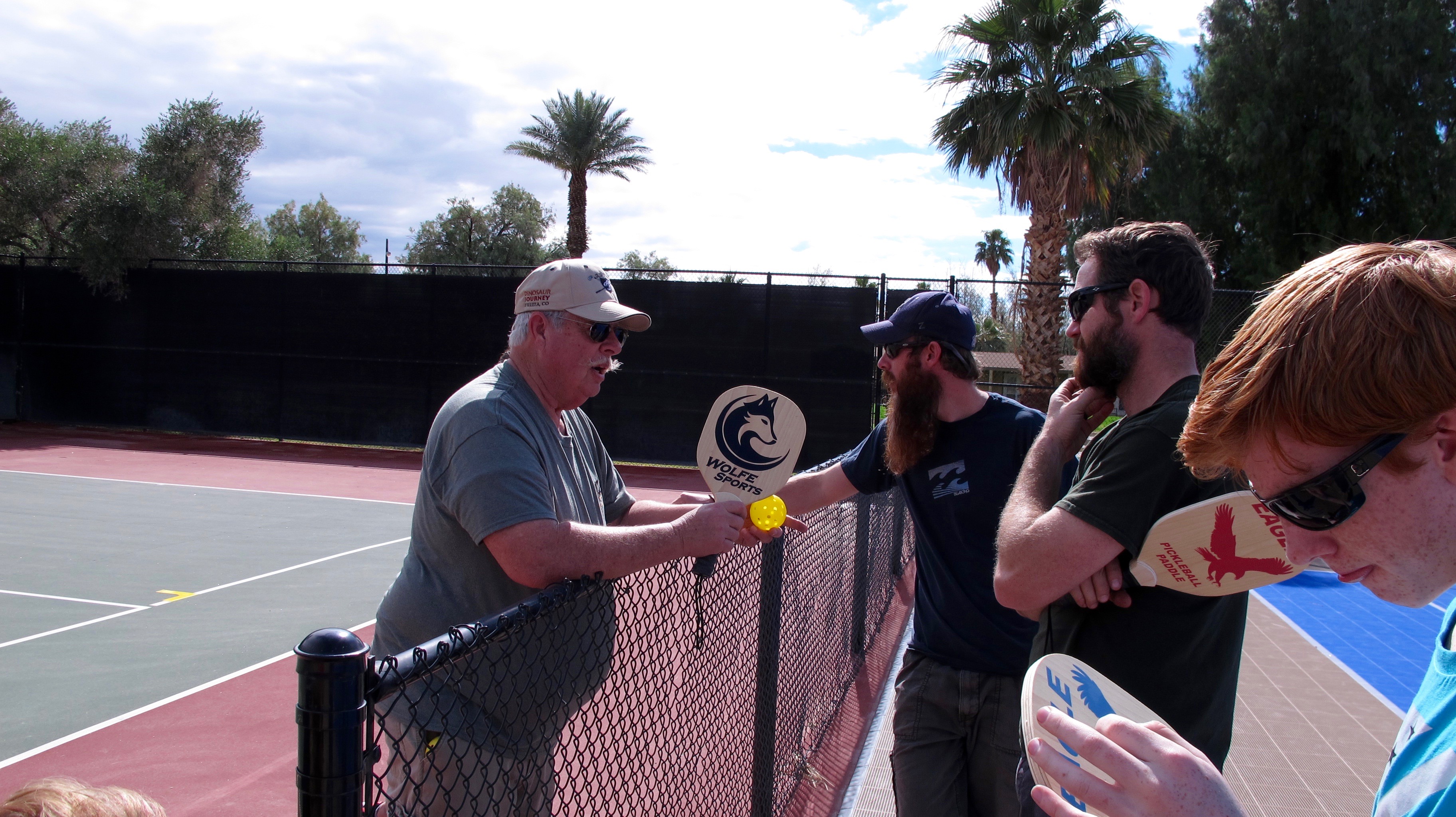
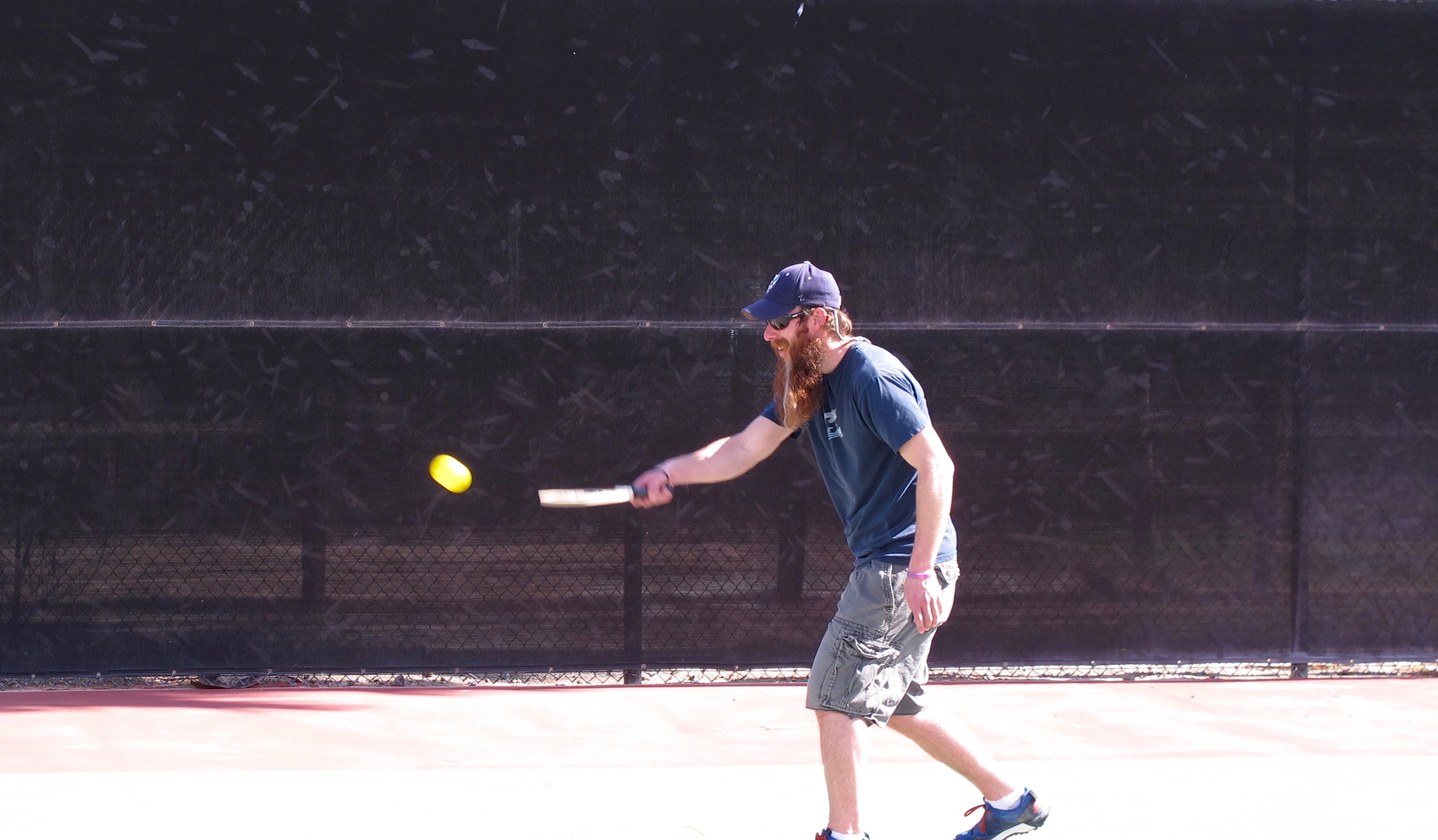
Coach Allan is teaching us all how to play pickleball. Everybody seemed to love it and I think it will become one of THE games in DV.

Coach Allan is teaching us all how to play pickleball. Everybody seemed to love it and I think it will become one of THE games in DV.

Scott returning a ball.

Scott returning a ball.

Jerri became the first wounded warrior of the adventure when her shoe tread sort of stuck to the court surface. It was very painful but once she got a hold of a magic potion made by good friend, Azure, her face healed up almost totally by the time she came home.

Jerri became the first wounded warrior of the adventure when her shoe tread sort of stuck to the court surface. It was very painful but once she got a hold of a magic potion made by good friend, Azure, her face healed up almost totally by the time she came home.

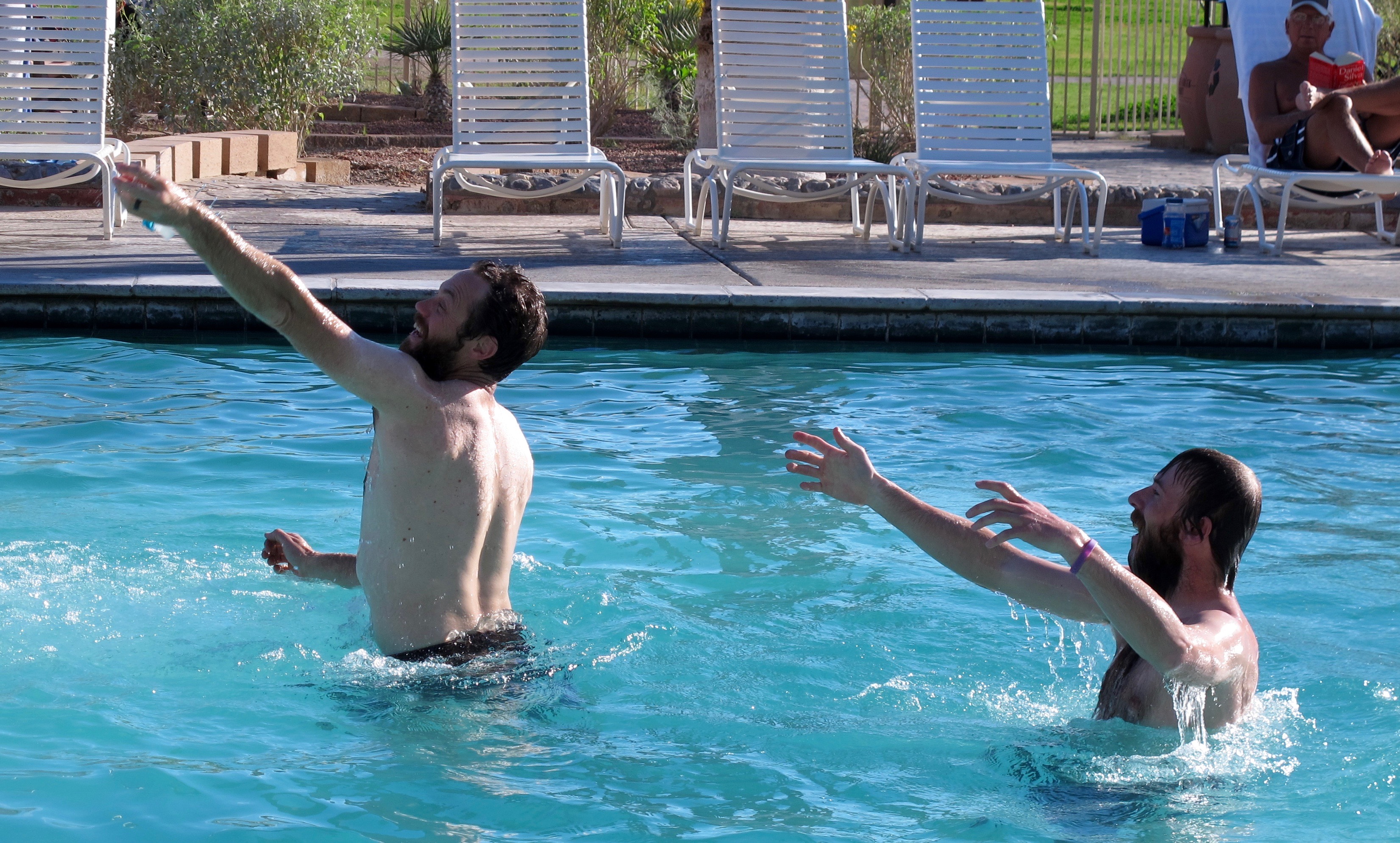
Playing in the pool was one our fun activities. I love this pool because it’s fed by a warm spring, has no chlorine and the water is re-circulated each day. The water is then used on the golf course.

Playing in the pool was one our fun activities. I love this pool because it’s fed by a warm spring, has no chlorine and the water is re-circulated each day. The water is then recycled on the golf course.

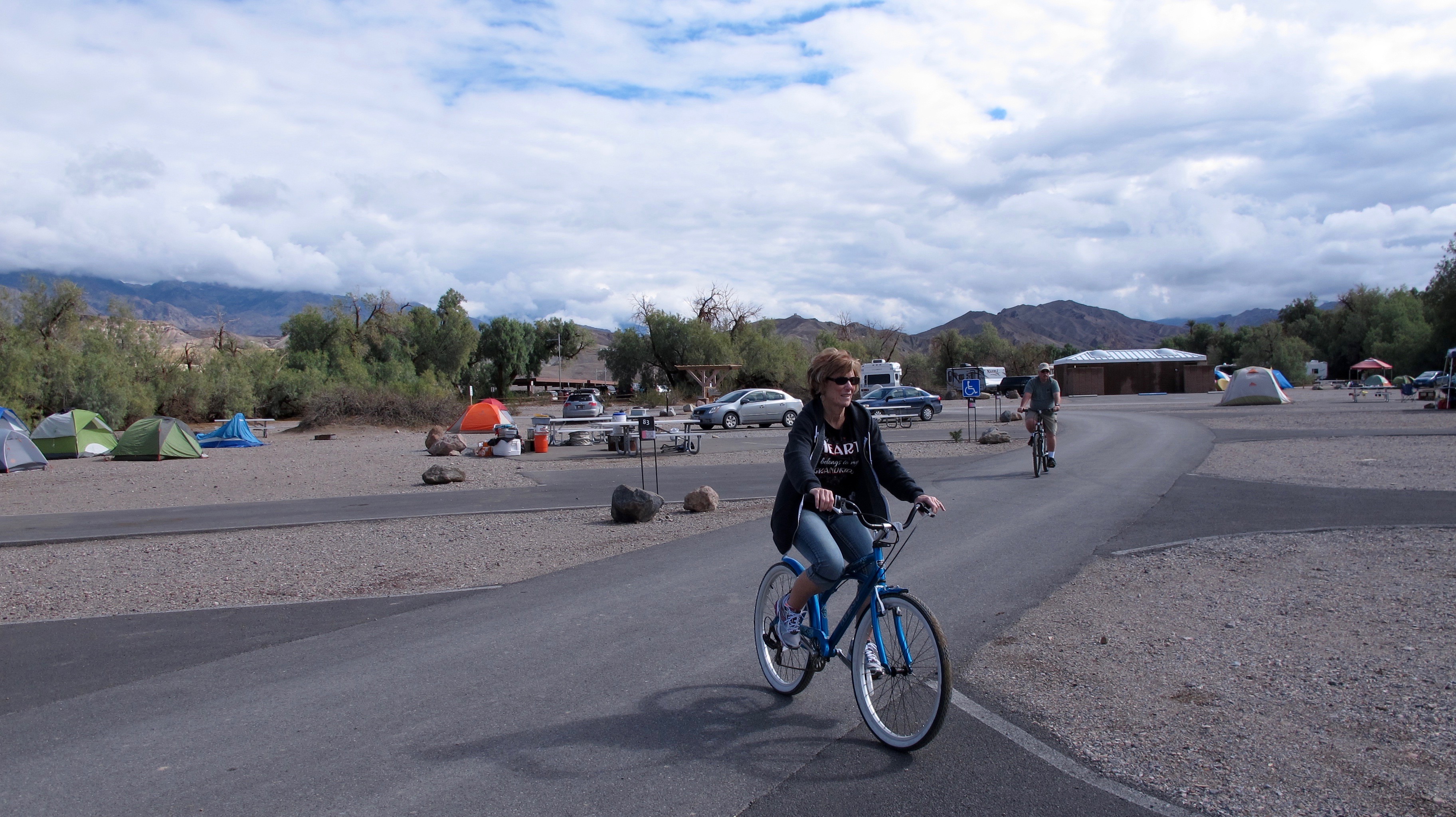
Bike riding is another activity.

Bike riding is another activity.

Walking the dogs is a necessary activity but gives one the opportunity to walk around the camp and maybe get to see some wildlife. Note the difference in size between Max and Buddy (the black dog). More on that later.

Walking the dogs is a necessary activity but gives one the opportunity to walk around the camp and maybe get to see some wildlife. Note the difference in size between Max and Buddy (the black dog). More on that later.

Golf is another activity we enjoy. I never do very well because the views, color changes on the mountains and coyotes and birds all distract me. The weather was perfect when I got the play the second time. None of us thought about taking a jacket (we should all know better because we live in a desert where the weather can change in 15 minutes). Dalan noticed that suddenly we couldn’t see the mountains and thought a dust storm was on the way. Nope, it was rain. We got a pretty good soaking but we soldiered on through to the finish. I thought about giving up but didn’t want the guys to think I was a wuss. Beside that, Scott loaned me a sweatshirt he had in his golf bag and I couldn’t give up then.

Golf is another activity we enjoy. I never do very well because the views, color changes on the mountains and coyotes and birds all distract me. The weather was perfect when I got the play the second time. None of us thought about taking a jacket (we should all know better because we live in a desert where the weather can change in 15 minutes). Dalan noticed that suddenly we couldn’t see the mountains and thought a dust storm was on the way. Nope, it was rain. We got a pretty good soaking but we soldiered on through to the finish. I thought about giving up but didn’t want the guys to think I was a wuss. Beside that, Scott loaned me a sweatshirt he had in his golf bag and I couldn’t give up then.

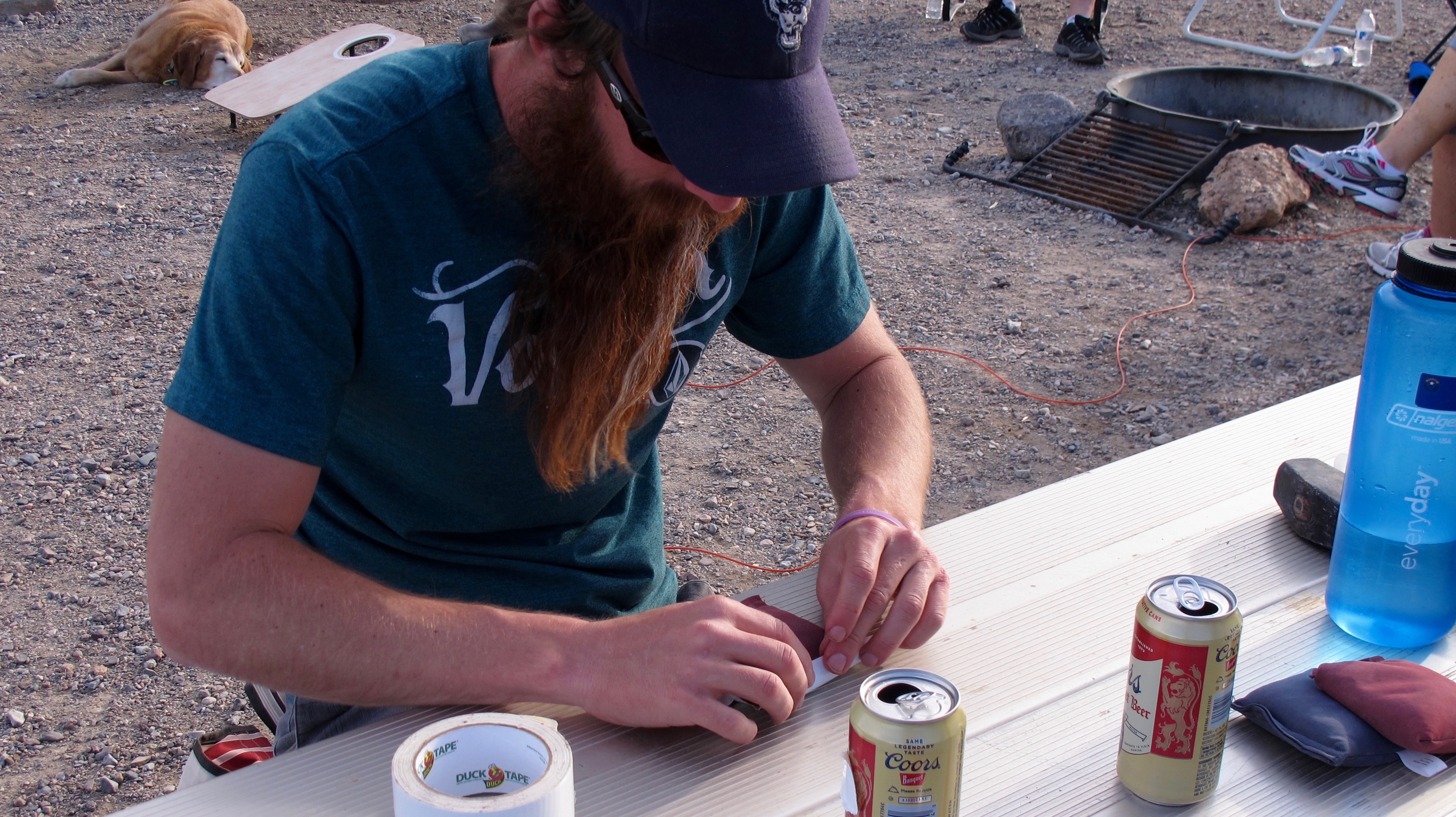
Another game we played was Cornhole…tossing beanbags to a board with a hole in it. This is Jason and Scott putting the beans (gravel?) back into the bags when the seams ripped.

Another game we played was Cornhole…tossing beanbags to a board with a hole in it. This is Jason and Scott putting the beans (gravel?) back into the bags when the seams ripped.

The boys used the time honored fix-all, Duck Tape, to patch up the bags.

The boys used the time honored fix-all, Duck Tape, to patch up the bags.

The boys used the time honored fix-all, Duck Tape, to patch up the bags.

Jerri throwing a patched bag. Note the white tape on the red bag.

Buddy likes to get into small spaces so that Max can’t tease him.

Buddy likes to get into small spaces so that Max can’t tease him.

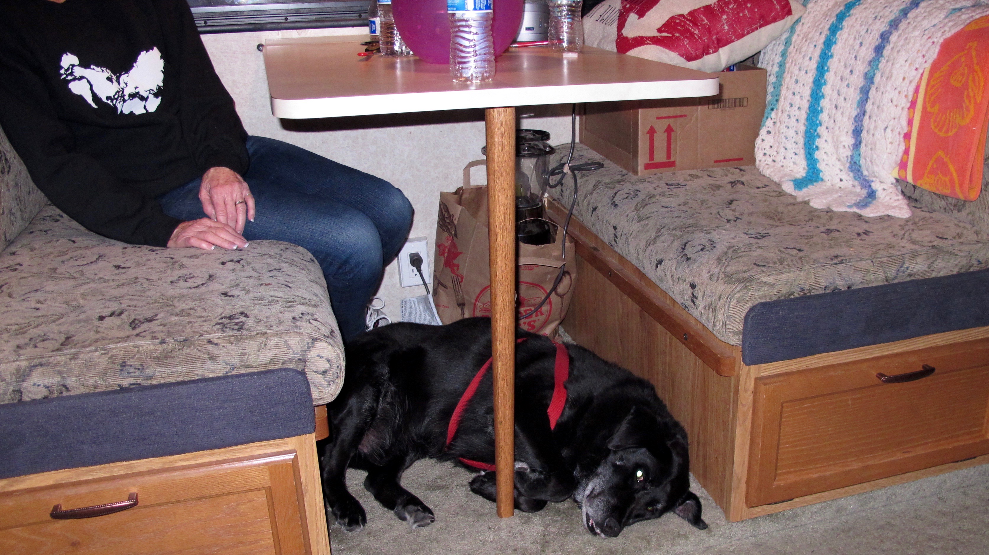
I woke up one morning and there was Max curled up, thinking he is a smaller dog. Max does think he is a lap dog. He is half lab and half black mouth cur. He's also very sweet and gentle.

I woke up one morning and there was Max curled up, thinking he is a smaller dog than he is. Max  thinks he is a lap dog. He is half lab and half black mouth cur and is also very sweet and gentle.

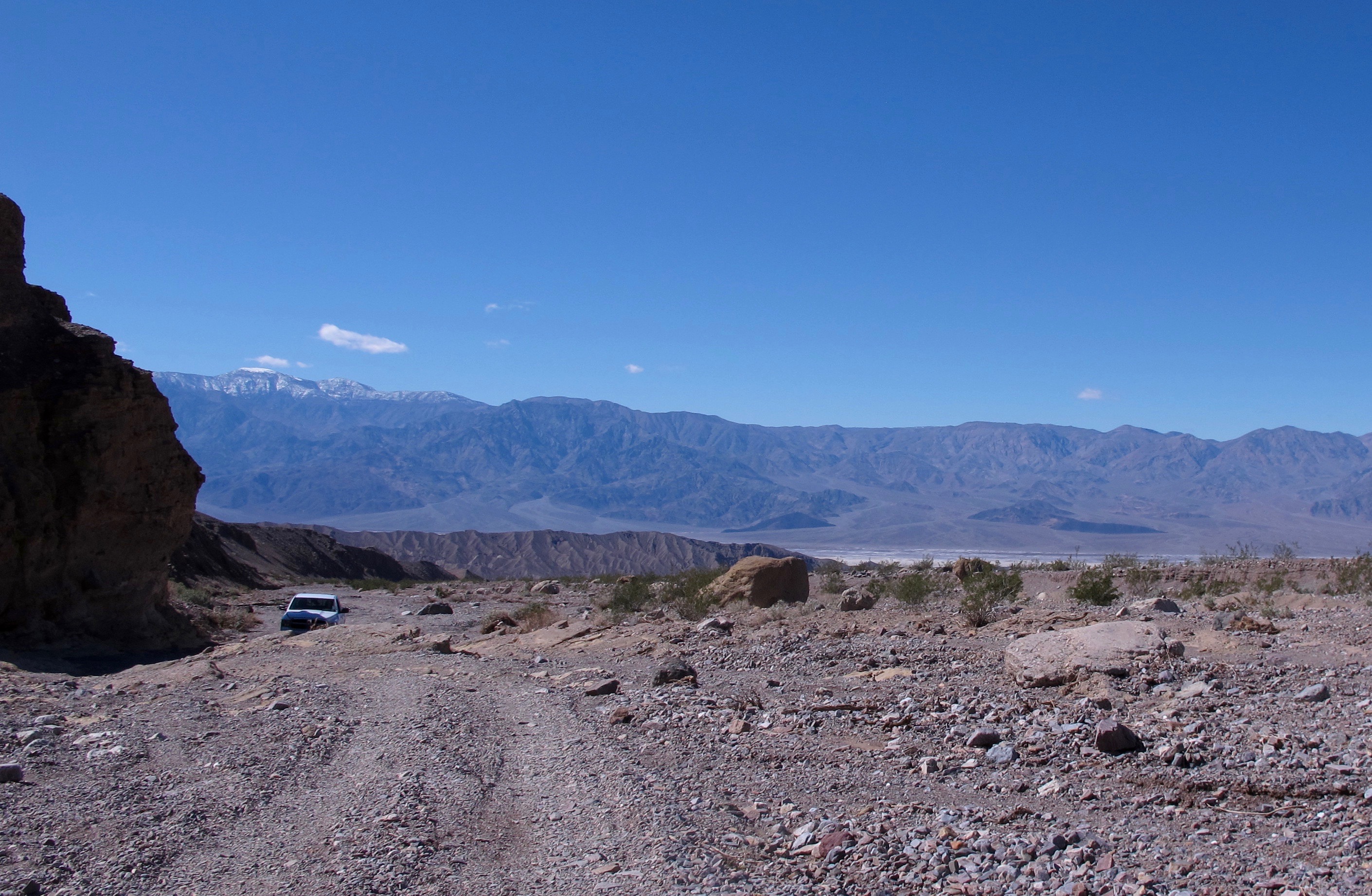
One afternoon, Allan took Jerri, Dalan and me to see Inyo Mine that was supposed to be back in the mountains about four miles off the main highway. About three miles into the trek, Allan decided, since it wasn’t his truck, that the ledge we needed to drive over was too big and stopped. Well, why not hike the rest of the way? After all, it was only another mile…

One afternoon, Allan took Jerri, Dalan and me to see Inyo Mine that was supposed to be back in the mountains about four miles off the main highway. About three miles into the trek, Allan decided, since it wasn’t his truck, that the ledge we needed to drive over was too big and stopped. Well, why not hike the rest of the way? After all, it was only another mile…

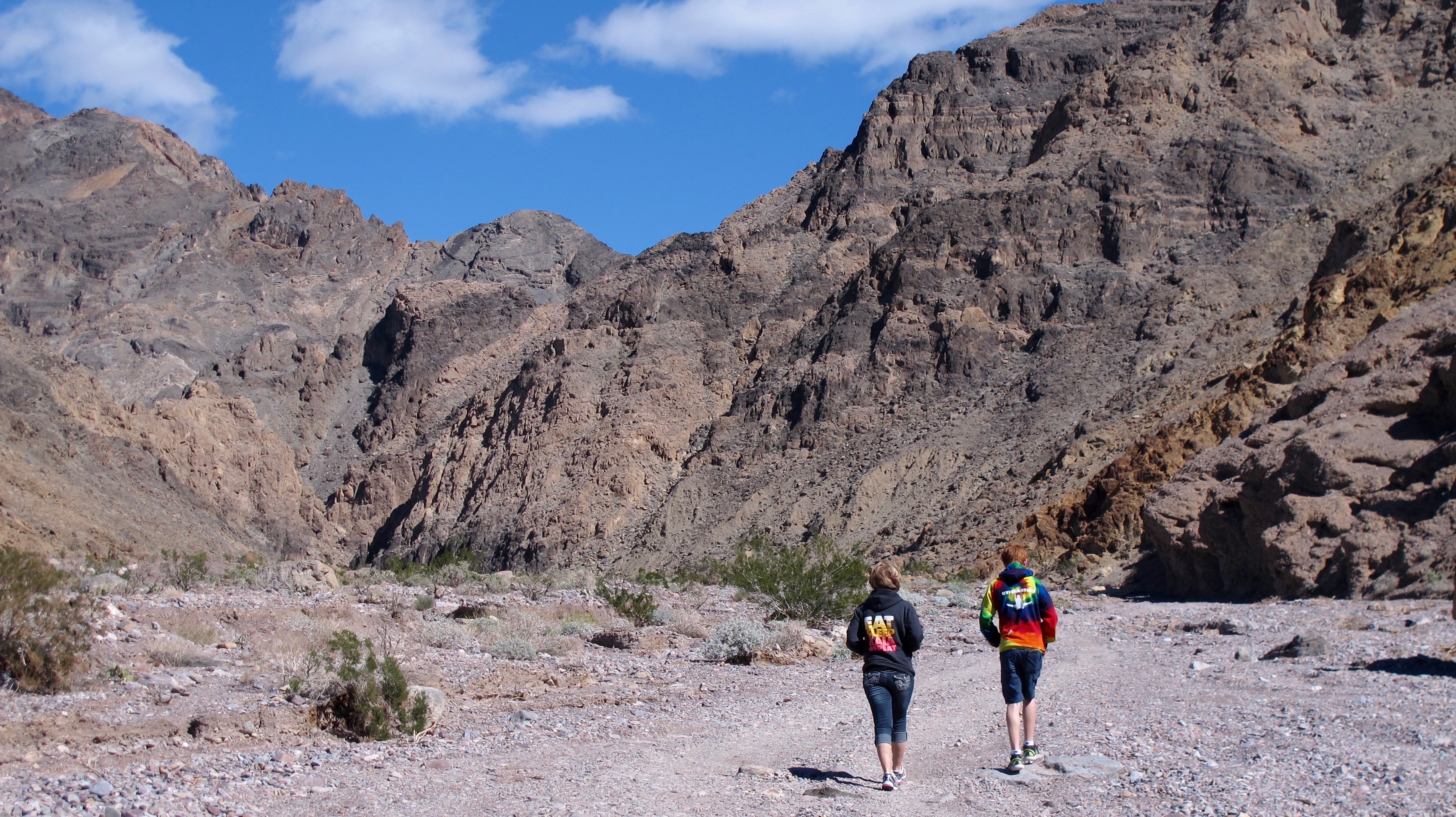
We hiked up this road at least another mile into a gap in the mountain. It really was quite pretty. When a second vehicle passed us, I asked the driver how much farther was the Inyo Mine? He said about 10 miles. That took care of that decision. We neither had the time nor the inclination to hike 20 miles to see a mine.

We hiked up this road at least another mile, maybe two, into a gap in the mountain. It really was quite pretty. When a vehicle passed us, I asked the driver how much farther was the Inyo Mine? He said about 10 miles. That took care of that decision. We neither had the time nor the inclination to hike 20 miles to see a mine.

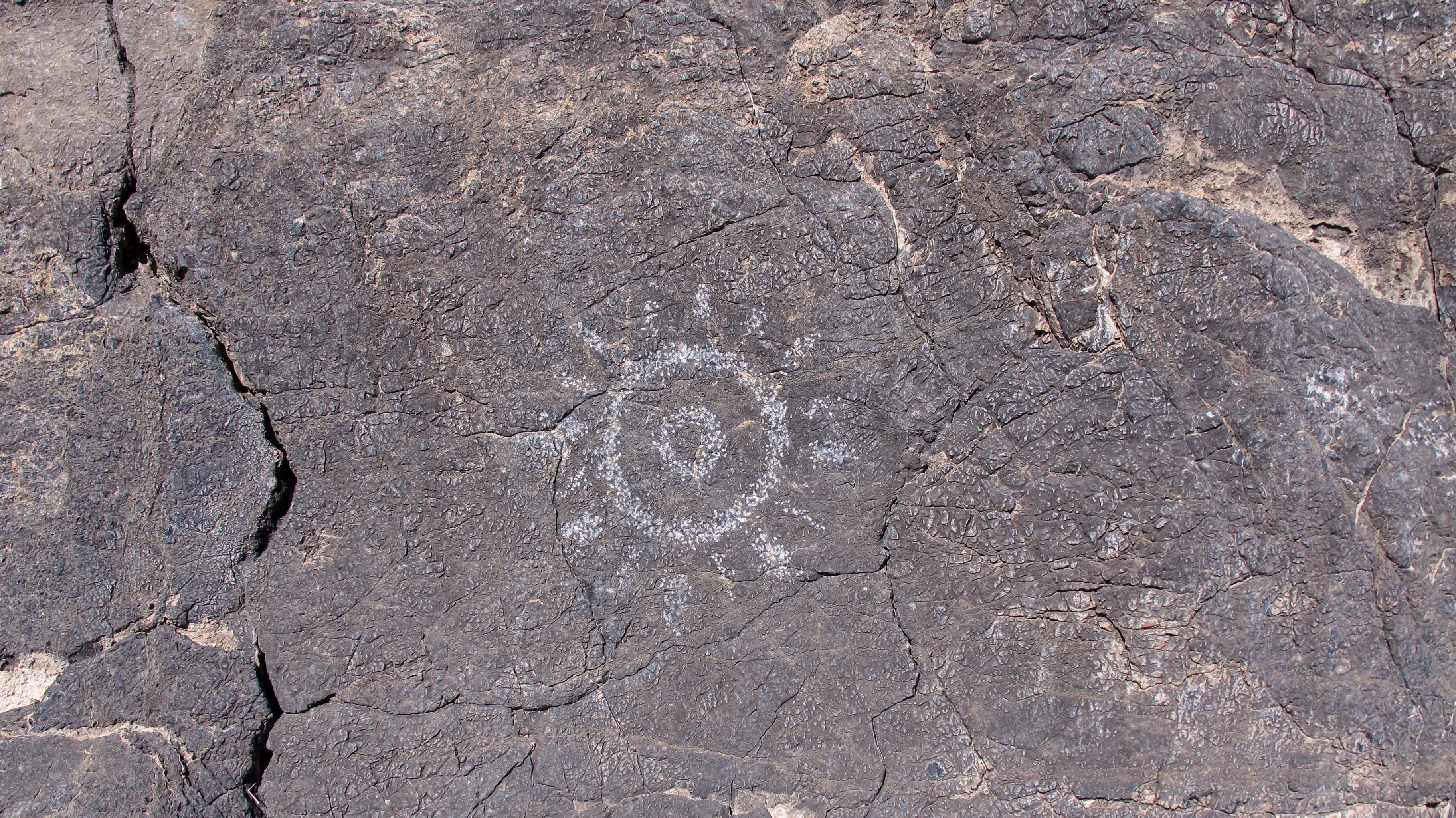
I espied this petroglyph on the way back to the truck. I believe it’s not a real Indian artifact as there were no other drawings nearby and didn’t look weathered as others have that I have seen. I thought it looked neat though as long as others don't think that's license to graffiti other stuff on the rock.

I espied this petroglyph on the way back to the truck. I believe it’s not a real Indian artifact as there were no other drawings nearby and didn’t look weathered as others have that I have seen. I thought it looked neat though as long as others don’t think that’s license to graffiti other stuff on the rock.

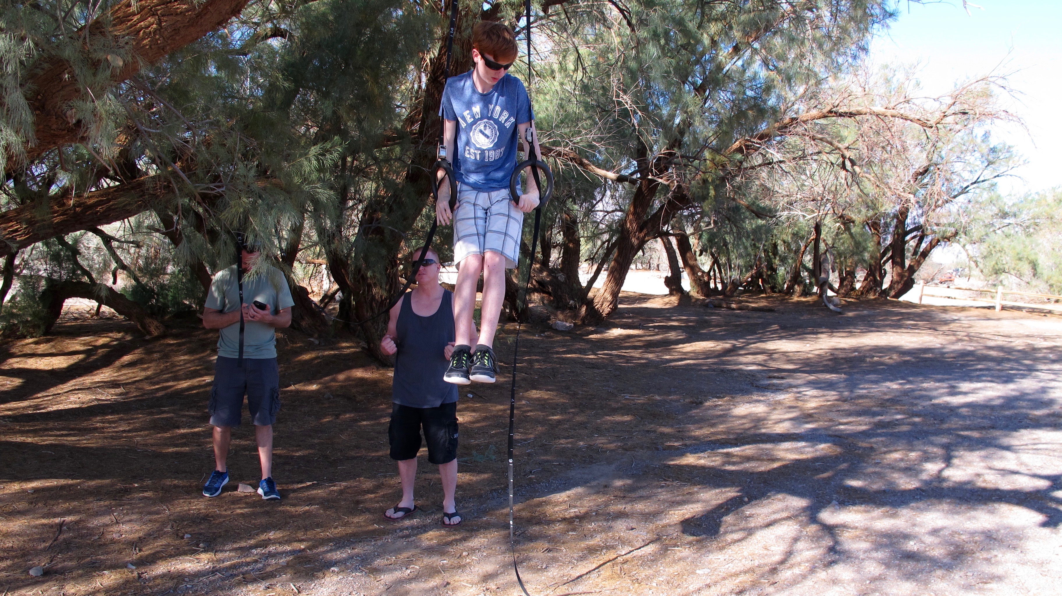
Dalan brought some gymnastics rings that his dad set up in a nearby tree. He did some tricks on them and made it look so easy.

Dalan brought some gymnastics rings that his dad set up in a nearby tree. He did some tricks on them and made it look so easy.

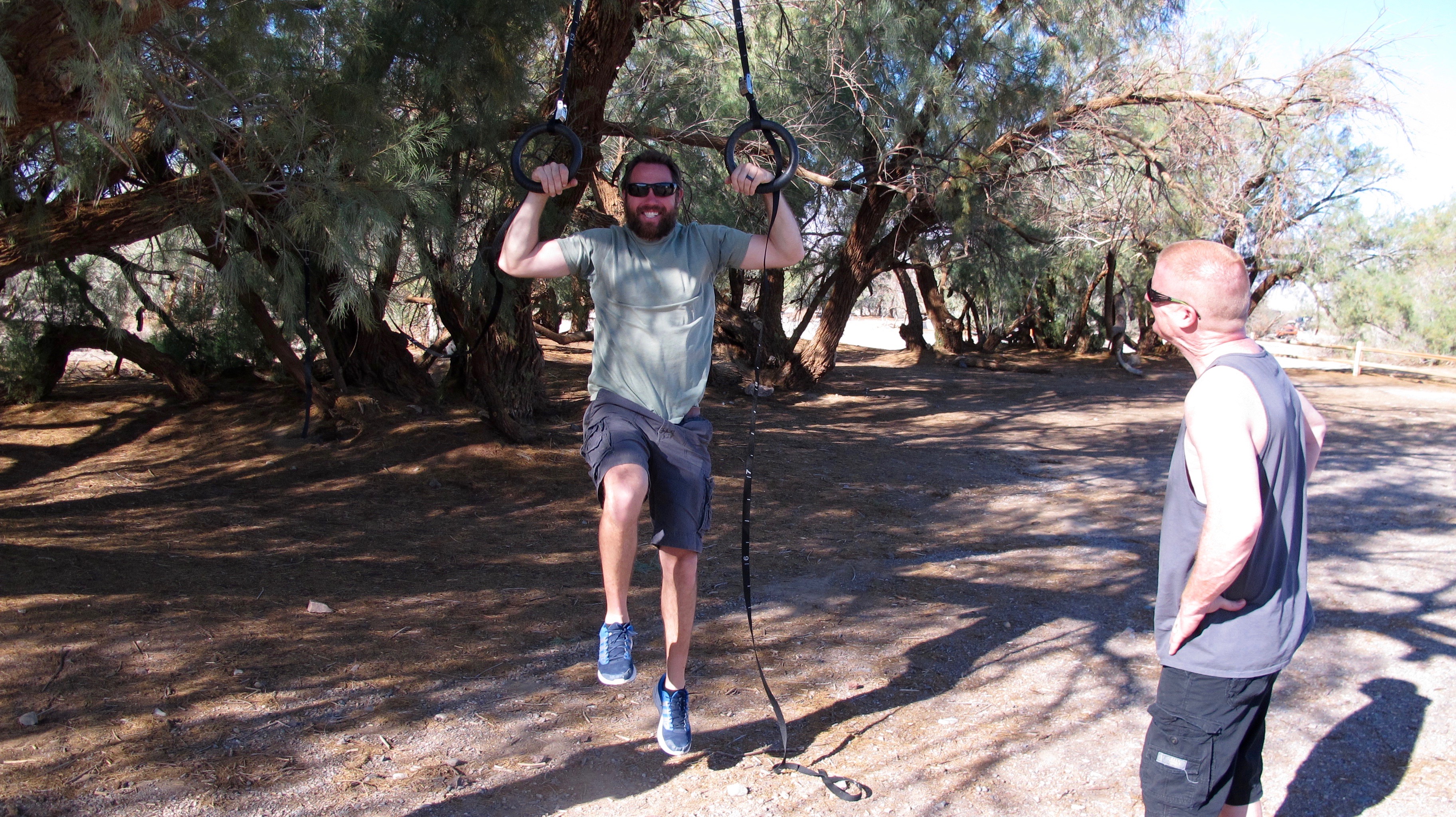
Can’t say the same for Jason, though.

Can’t say the same for Jason, though.

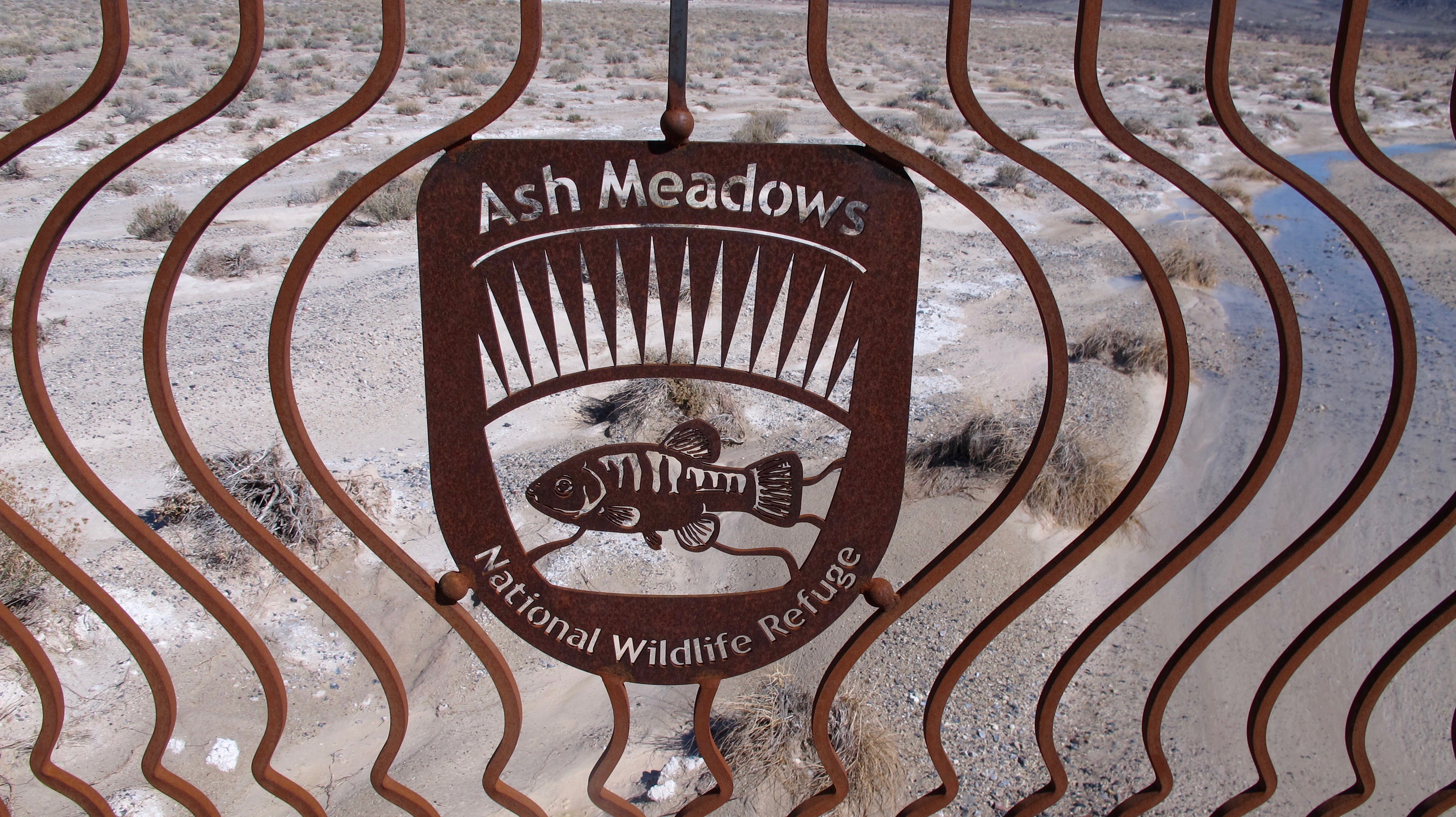
We took two cars to visit Ash Meadows National Wildlife Refuge where the famous Devils Hole pupfish live. I had stayed there a few years ago with my good friend, Gale, and was excited about showing the family the refuge. Ash Meadows had completed a new visitors’ center recently and I wanted to see that also. Check out https://www.fws.gov/refuge/Ash_Meadows/about.html if you would like to learn more.

We took two cars to visit Ash Meadows National Wildlife Refuge where the famous Devils Hole pupfish live. I had stayed there a few years ago with my good friend, Gale, and was excited about showing the family the refuge. Ash Meadows had completed a new visitors’ center recently and I wanted to see that also. Check out https://www.fws.gov/refuge/Ash_Meadows/about.html if you would like to learn more.

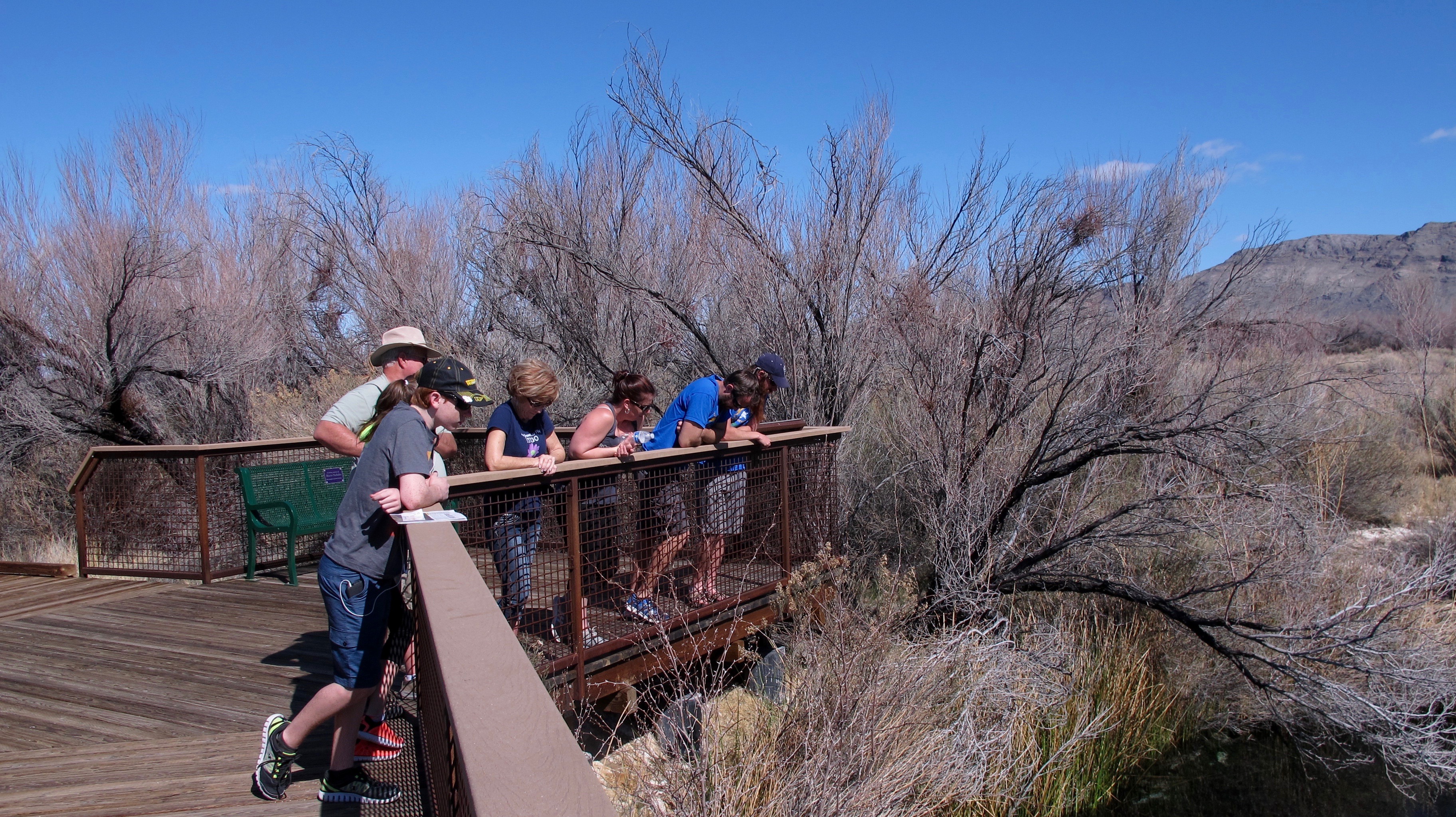
After seeing an introductory movie, we walked on an all-accessible boardwalk to Crystal Springs. Here are the rail birds looking at the springs.

After seeing an introductory movie, we walked on an all-accessible boardwalk to Crystal Springs. Here are the rail birds looking at the springs.

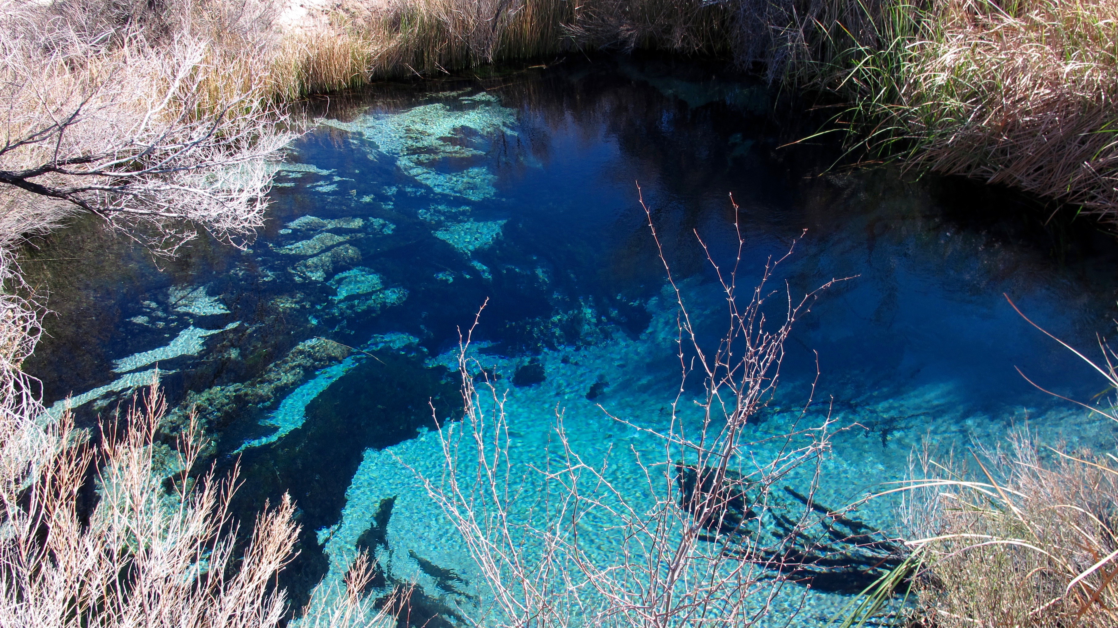
Crystal Springs gushes out 2,800 gallons of water per minute. We all wanted to jump in and swim in it but that’s a no no.

Crystal Springs gushes out 2,800 gallons of water per minute. We all wanted to jump in and swim in it but that’s a no no.

Jerri took this picture, which seems like you're looking through and underwater window.

Jerri took this picture, which seems like you’re looking through an underwater window.

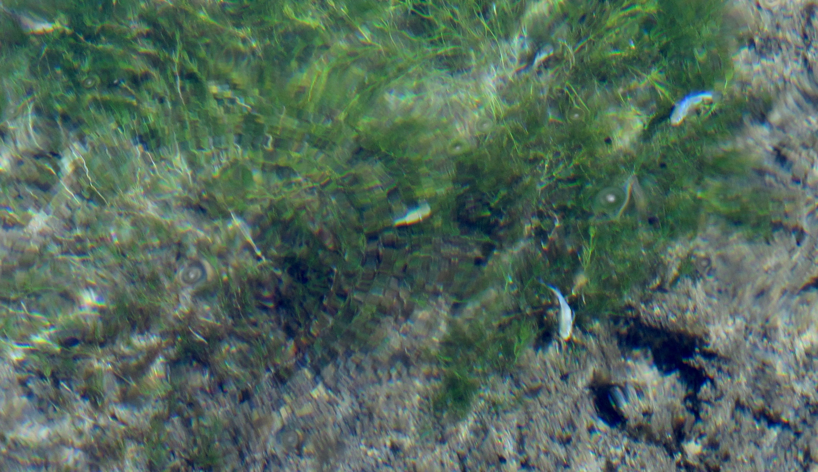
I am pretty sure these are Ash Meadows Amargosa Pupfish in their breeding blue tints. We didn’t go see the Devil’s Hole Pupfish because you can’t really see them due to a protective cage around them and the fact that my car doesn’t like real rough roads.

I am pretty sure these are Ash Meadows Amargosa Pupfish in their blue breeding tints. We didn’t go see the Devil’s Hole Pupfish because you can’t really see them due to a protective cage around them and the fact that my car doesn’t like real rough roads.

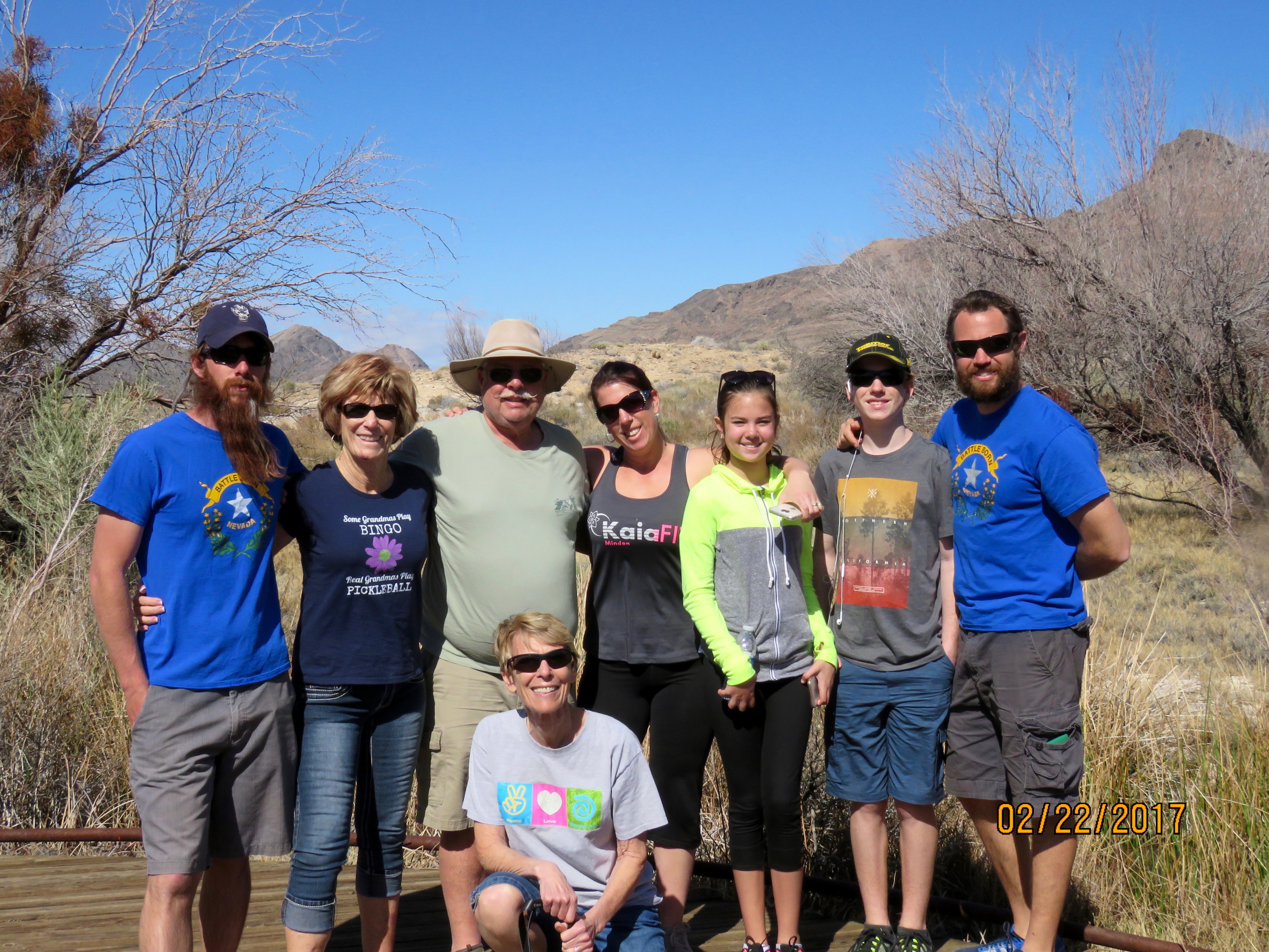
The family at Ash Meadows.

The family at Ash Meadows.

Scott posing for the photog. He’s hoping to take first place in the Nevada Day beard contest this coming October. Good luck, Scott!

Scott posing for the photog. He’s hoping to take first place in the Nevada Day beard contest this coming October. Good luck, Scott!

Horseshoes seems to be a late afternoon activity.

Horseshoes seems to be a late afternoon activity.

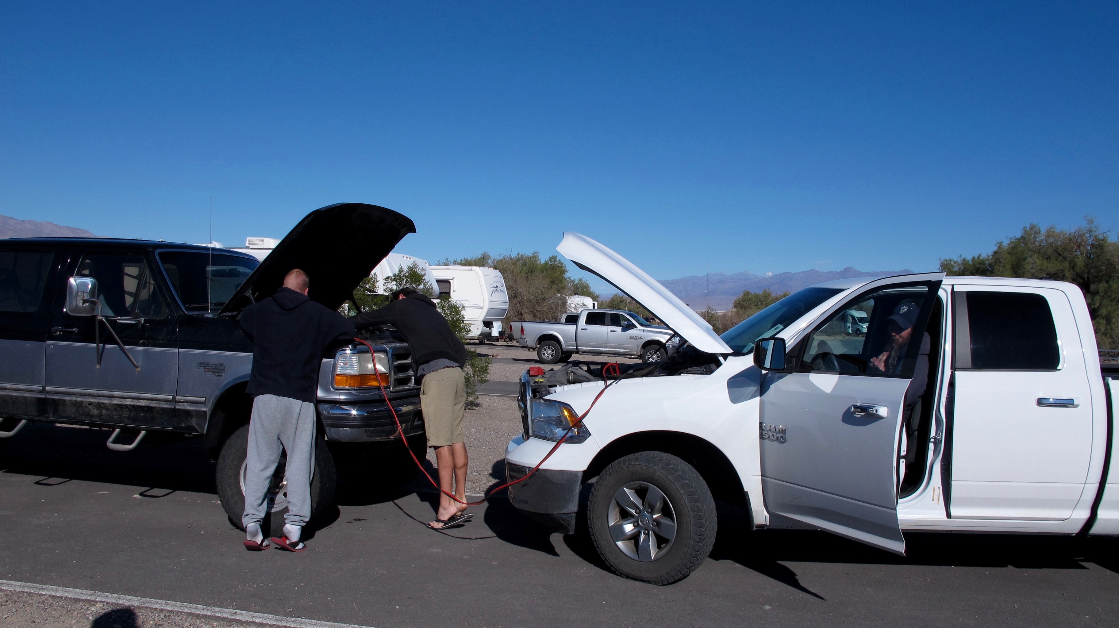
 Jumping Jason’s truck for the trip to Darwin Falls.


Jumping Jason’s truck for the trip to Darwin Falls.

We drove about an hour or so over part of the Panamint Mts. and past Panamint Springs to the trail head for Darwin Falls, a very beautiful hidden gem of the desert. Jason, Scott and Dalan opted to hike up to the top to see the source of the nine falls of Darwin. I’m glad that I didn’t know how harrowing their hike would be or I might have make a stink about letting Dalan go with them. It all turned out ok, though.

Our hike was gentle with having to camber over only a few boulders and rocks.

Our hike was gentle with having to clamber over only a few boulders and rocks.

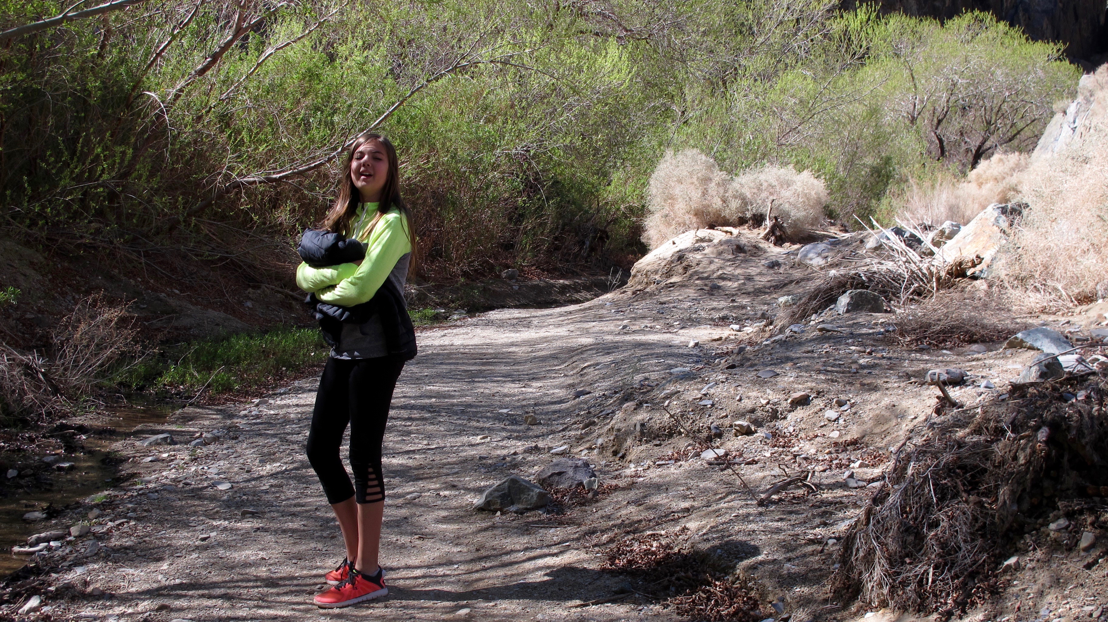
Megan led the way. You can see evidence of flooding in the background.

Megan led the way. You can see evidence of flood debris in the background.

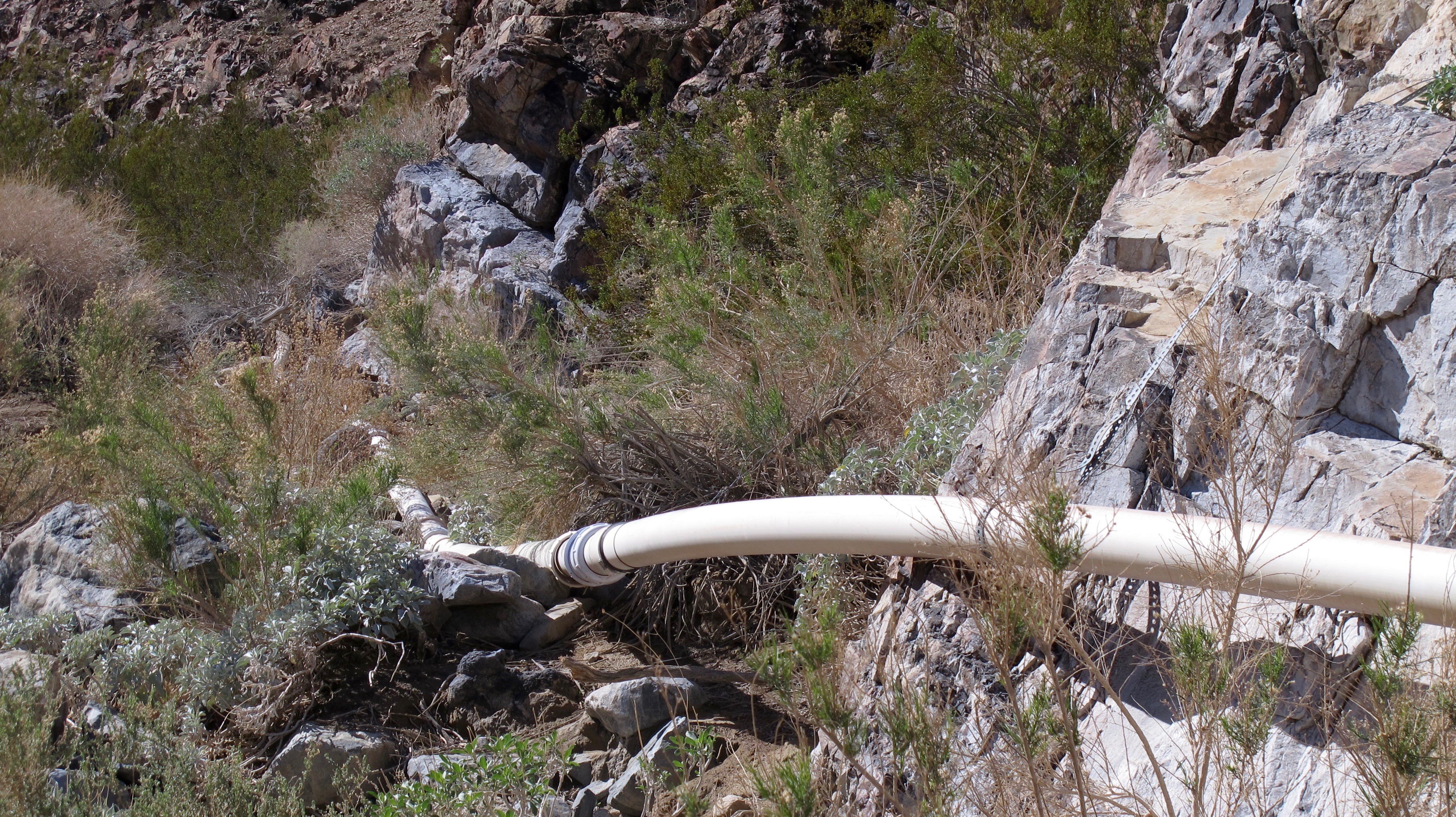
The crazy thing about going to Darwin Falls is that going along the side of the canyon is a rusty old pipe that sometimes is replaced by PVC pipe. It is a several mile long pipeline that takes water to the tiny community of Panamint Springs.

This PVC pipe is hooked up to an old iron pipeline that is the primary water source for the tiny community of Panamint Springs. The pipeline is several miles long

Obviously, it's been there for a long time and is still doing the job, but i think I would be leery about drinking that water.

Obviously, it’s been there for a long time and is still doing the job, but I think I would be leery about drinking that water.

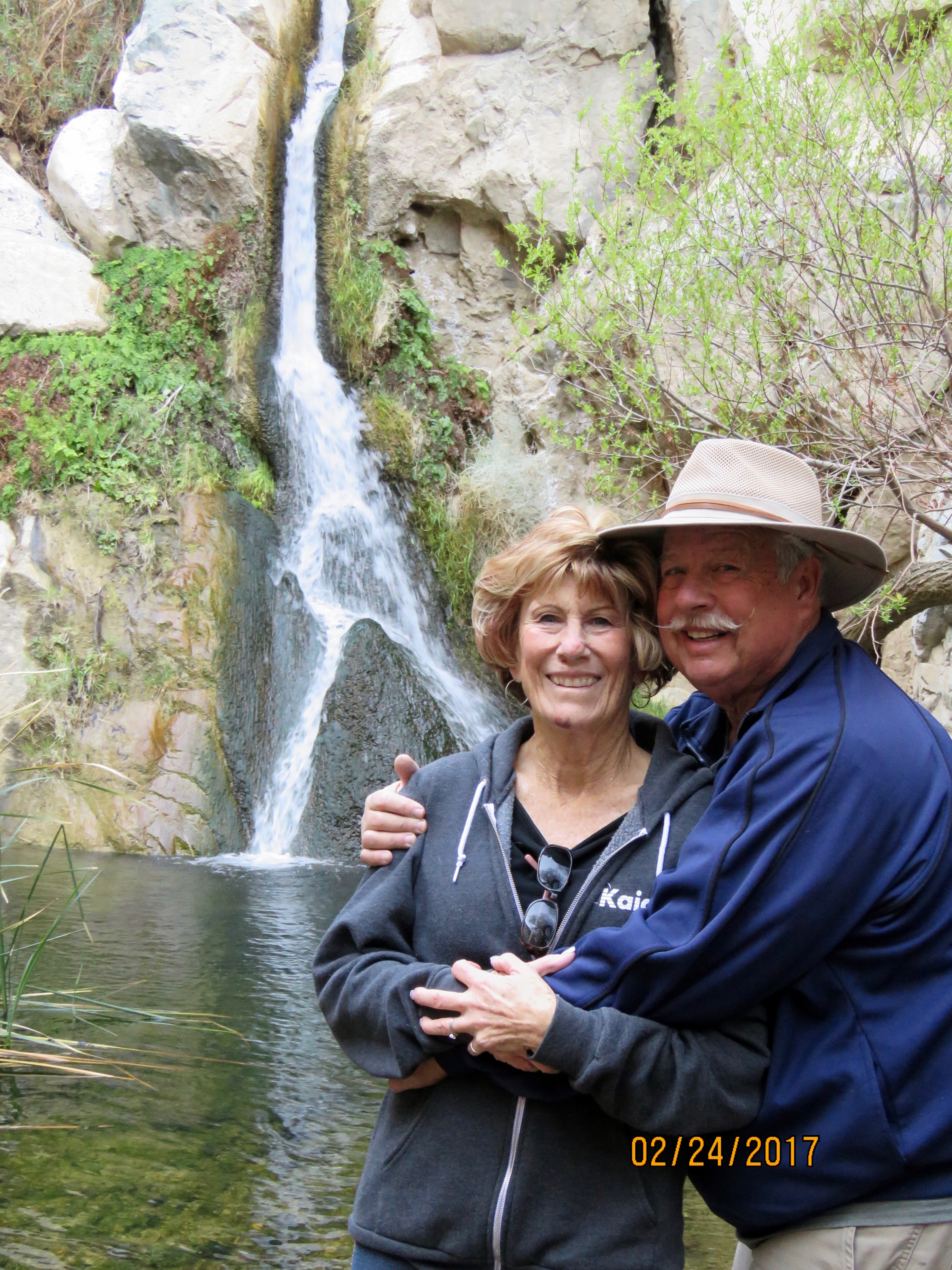
Jerri and Allan posing by the falls we reached. There are eight more above our terminus point. This little glen reminded me of Elves’ Chasm in the Grand Canyon. This falls even had a little fern grotto just like the Elves’.

Jerri and Allan posing by the falls we reached. There are eight more above our terminus point. This little glen reminded me of Elves’ Chasm in the Grand Canyon. This falls even had a little fern grotto just like the Elves’.

I have no pictures of us around the campfire, but that is also a lot of fun…stories, toasted marshmallows, figuring out what a bright star is, lots of laughing and just being together.  So these are the activities in which I participated in Death Valley. The kids did a lot more like going to the Visitor’s Center and participating in some of the Ranger-sponsored activities and stargazing. Don’t let anyone tell you there is nothing to do in Death Valley or its environs.

After a week of many adventures and some mishaps (In addition to Jerri’s boo boos, I forgot to mention that a bee flew inside my t shirt and stung my chest causing a great deal of discomfort), I took Megan and Dalan home so their parents could spend an extra day in the valley. It’s fun being with them and the trip seemed shorter because of them.

We saw these all black burros alongside the road. They were getting drinks of water behind that orange fence.

We saw these all black burros alongside the road. They were getting drinks of water behind that orange fence.

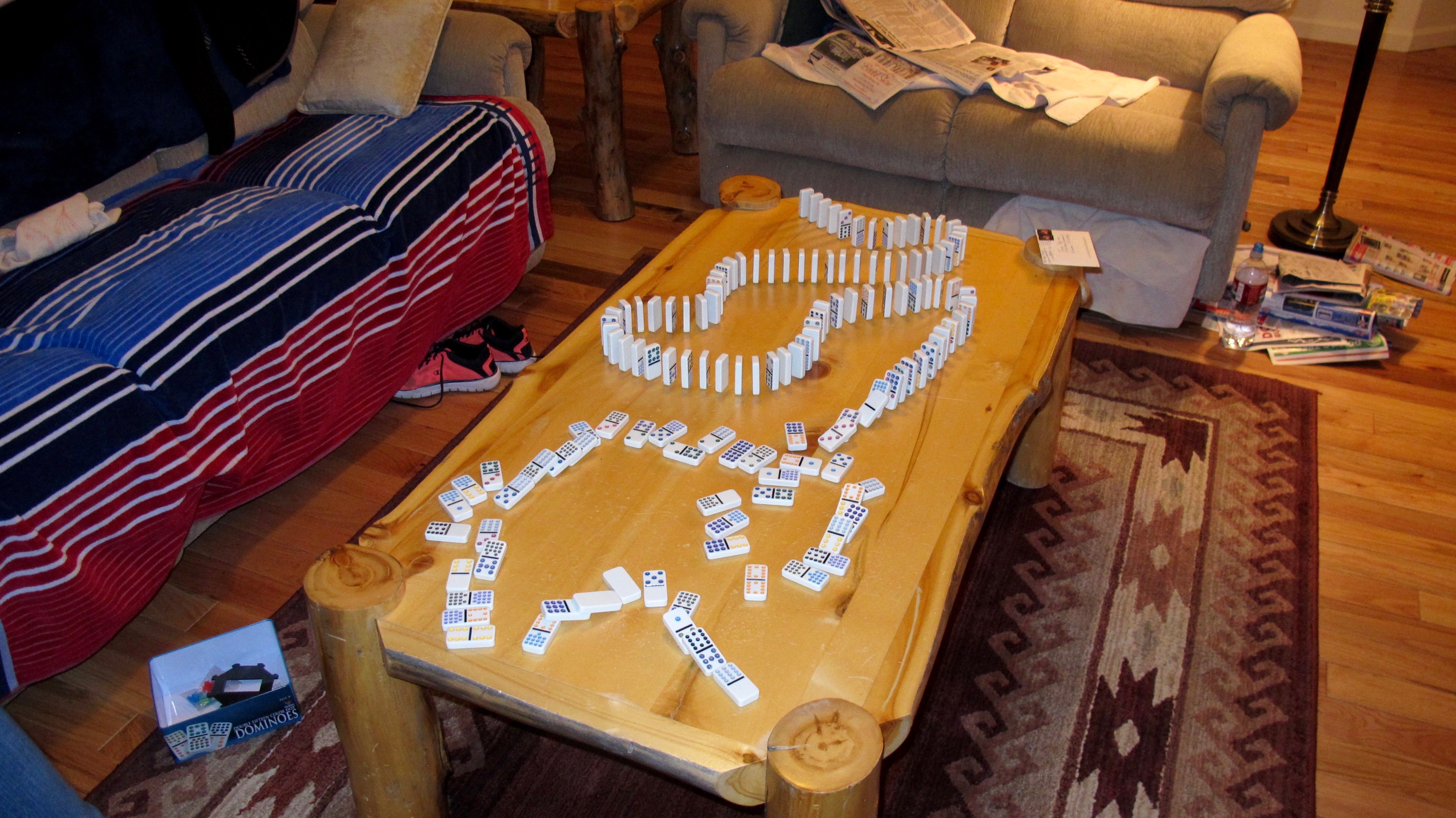
Dalan went to spend the night with a friend and Megan stayed with me. Our last activity before going to bed was this domino train we built. Megan is really good at it and can make them fall just perfectly. Some are still standing because this is an action shot.

Dalan went to spend the night with a friend and Megan stayed with me. Our last activity before going to bed was this domino train we built. Megan is really good at it and can make them fall just perfectly. Some are still standing because this is an action shot.


Carson Valley and the February, 2017 Flood

12 Feb

Weather-wise, it’s been an amazing year so far. We’ve had better than average snowfall in the mountains, the wettest January in more than a century and gale force winds here in the Carson Valley. I’ve been lucky and have sustained little damage while friends have lost 100 year-old cottonwood trees, fences, roofs and power and sustained mud and water damage.

This past Thursday and Friday brought a new round of relatively warm storms that caused snow to melt in higher elevations and all that water has to go somewhere. Nearly all the major roads in and out of Carson Valley were closed by late this past Friday morning. For those of you who don’t know, Highway 395 (the primary road from Minden to Carson City) sort of bisects the Valley and when it’s closed, we have problems.  That’s when we know that we can be very isolated because when that happens, other highways are closed as well due to bad weather.

Jerri and I went to Carson City Friday morning to do important errands and didn’t get back before 395 closed just north of where I live. Water was gushing over the road. It was an amazing sight.  Of course I didn’t have my camera but I went out yesterday (with the camera) to retrace our route to show you some of the things we saw as we had to go more than 20 miles out of our way on a dinky country road that isn’t designed for heavy trucks and hundreds of commuter cars. You can imagine the size of the potholes that are only getting bigger because no repair work can be done until wet, icy and inclement weather is done for the year.

What amazed me most was how fast the water had receded after the rains stopped. The Carson River had gone down a few inches, Highway 395 was open, and some debris had been cleaned up. Following is part of the story that I was able to record on camera.  (You will be able to see more detail if you click on the photo)

Sunrise on January 27 with snow still on the ground.

Sunrise on January 27 with snow still on the ground.

The Carson River is breeching its banks at Cradlebaugh Bridge on Hwy. 395.

The Carson River is breeching its banks at Cradlebaugh Bridge on Hwy. 395.

Friday, that tiny settlement you can see in the back was totally isolated by fast moving water. The Sheriff’s Dept. used its armored SWAT vehicle to get them out.

Friday, that tiny settlement you can see in the back was totally isolated. The Sheriff’s Dept. used its armored SWAT vehicle to rescue 10 people stranded by fast moving water. The river is adjacent to their property.

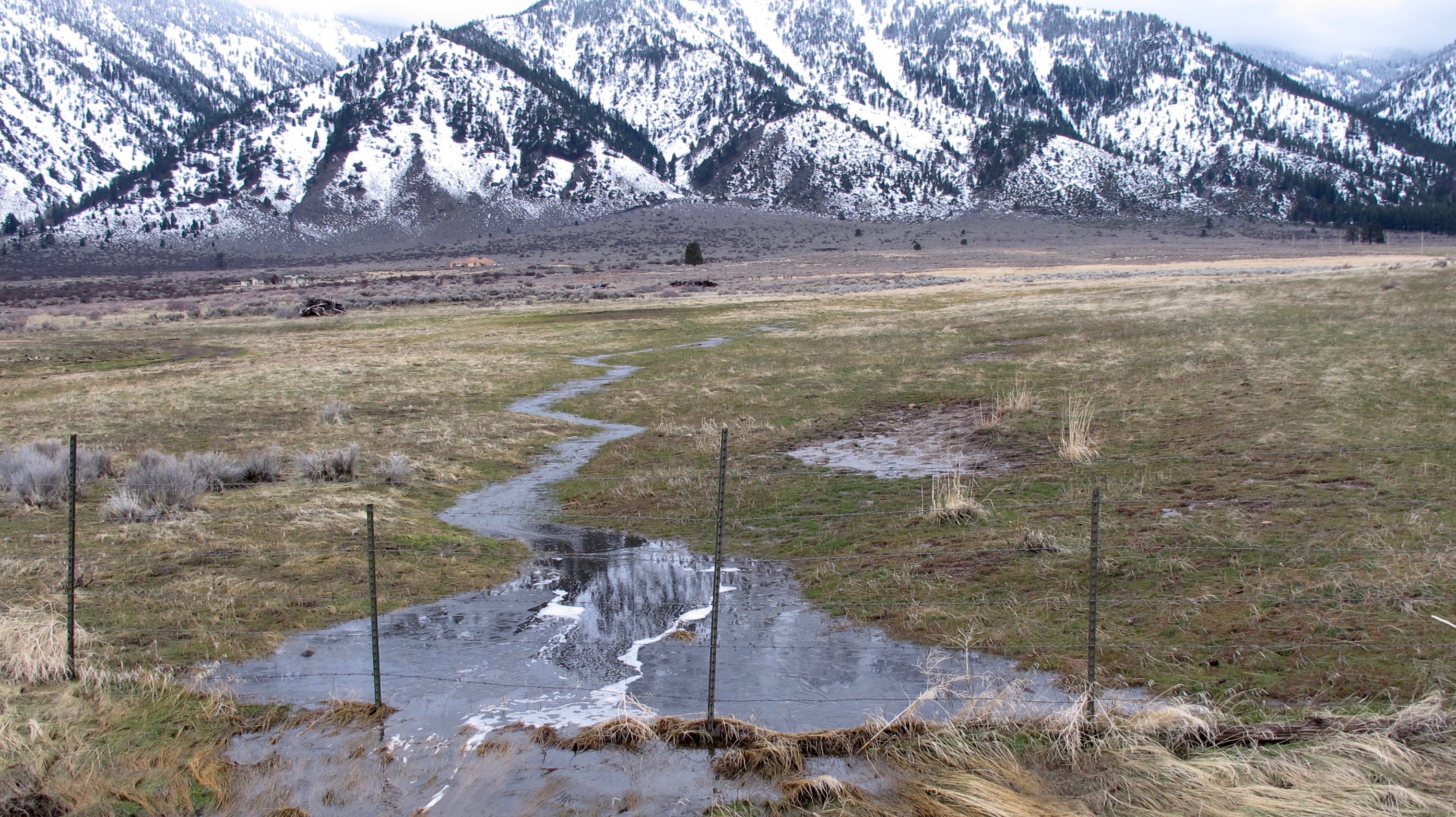
Tiny rivulets and streams were spawned by the rain and snowmelt. They seemed to be everywhere I looked.

Tiny rivulets and streams were spawned by the rain and snowmelt. They seemed to be everywhere I looked.

This may seem like an odd place to take a picture. But normally, this is a dry area where a large earthquake fault can be seen this escarpment. The melt has to go somewhere and this became a natural stream.

This may seem like an odd place to take a picture. But normally, this is a dry area where a large earthquake fault can be seen this escarpment. The melt has to go somewhere and this became a natural stream.

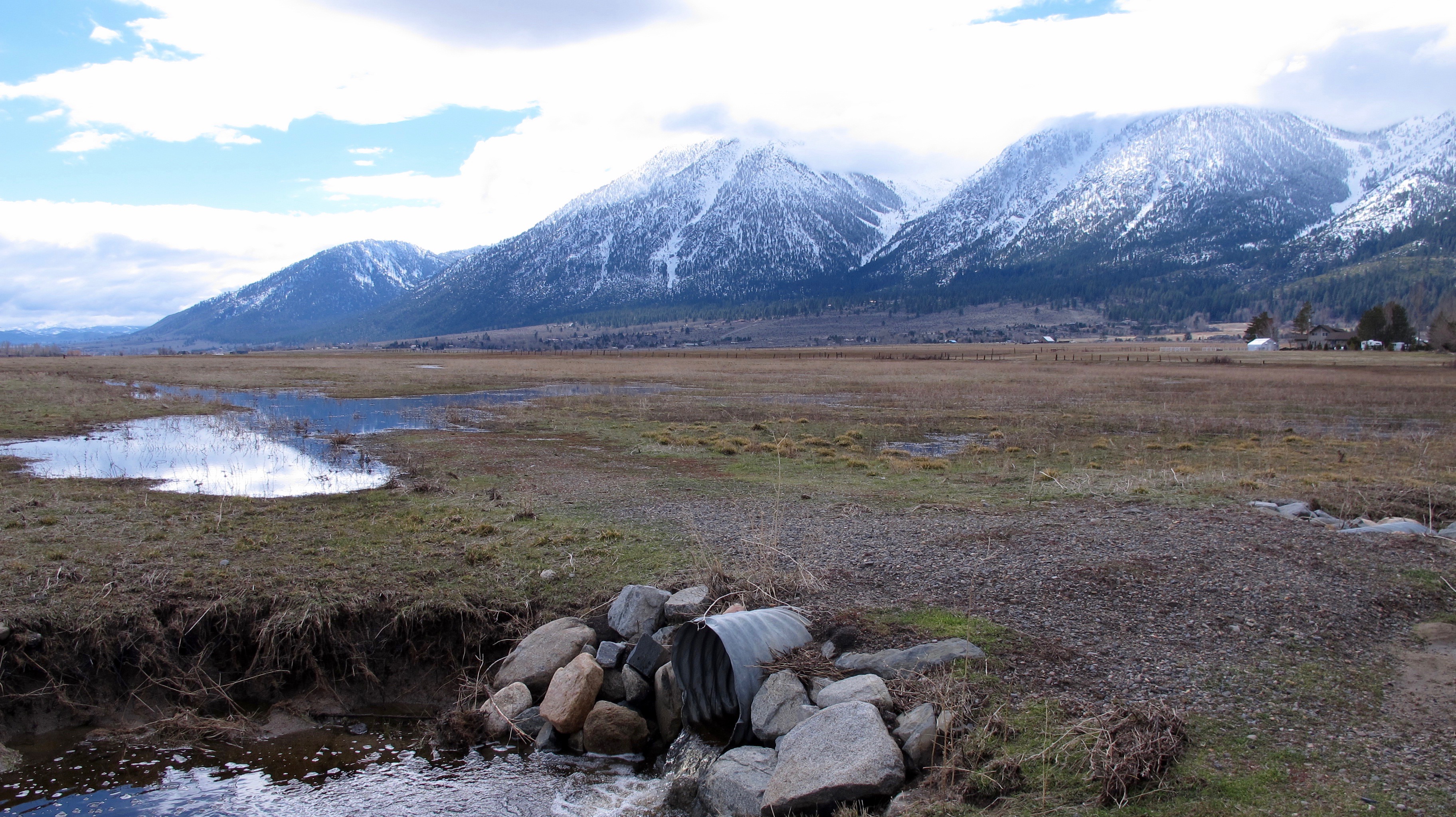
Two days ago, this area was flooded and one wasn’t able to see this culvert pipe much the road it's next to

Two days ago, this area was flooded and one wasn’t able to see this culvert pipe much the road it’s next to

Somewhere under this water is the main east-west road to Genoa. This property belongs to James Settlemeyer, one of our state senators. Photo by Record-Courier

Somewhere under this water is the main east-west road to Genoa. This property belongs to James Settlemeyer, one of our state senators. Photo by Record-Courier

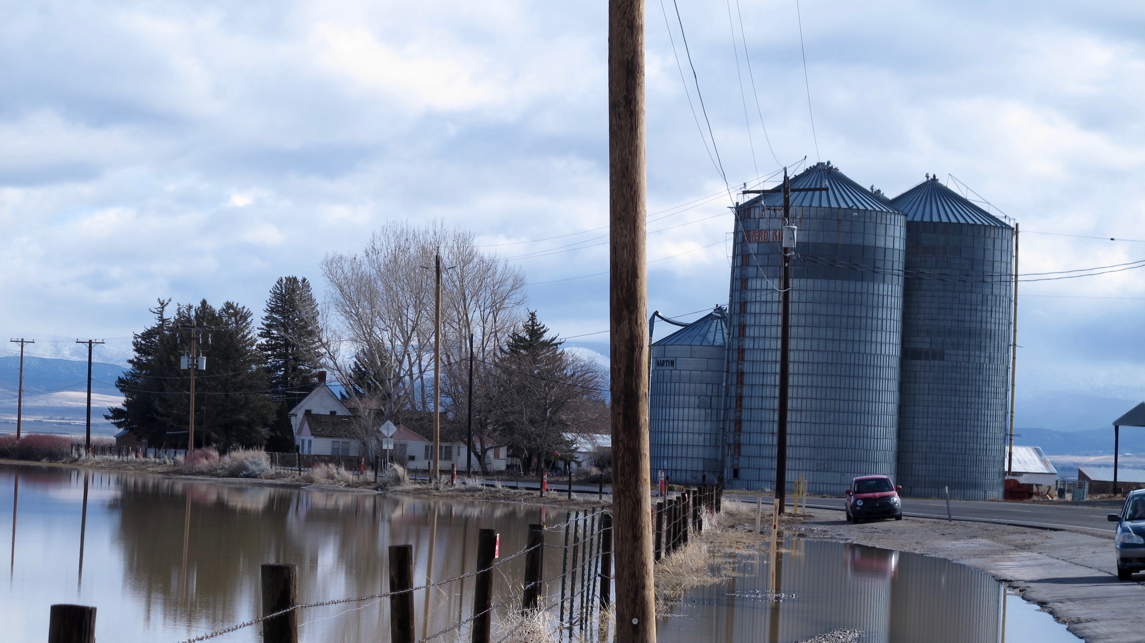
This isn’t the same scene, but you can see how much the water receded in two days.

This isn’t the same scene but the house is the same. You can see how much the water receded in two days. Genoa Lane has been reopened. Look for these silos in a later picture

A picture I showed you in a recent blog.

A picture I showed you in a recent blog.

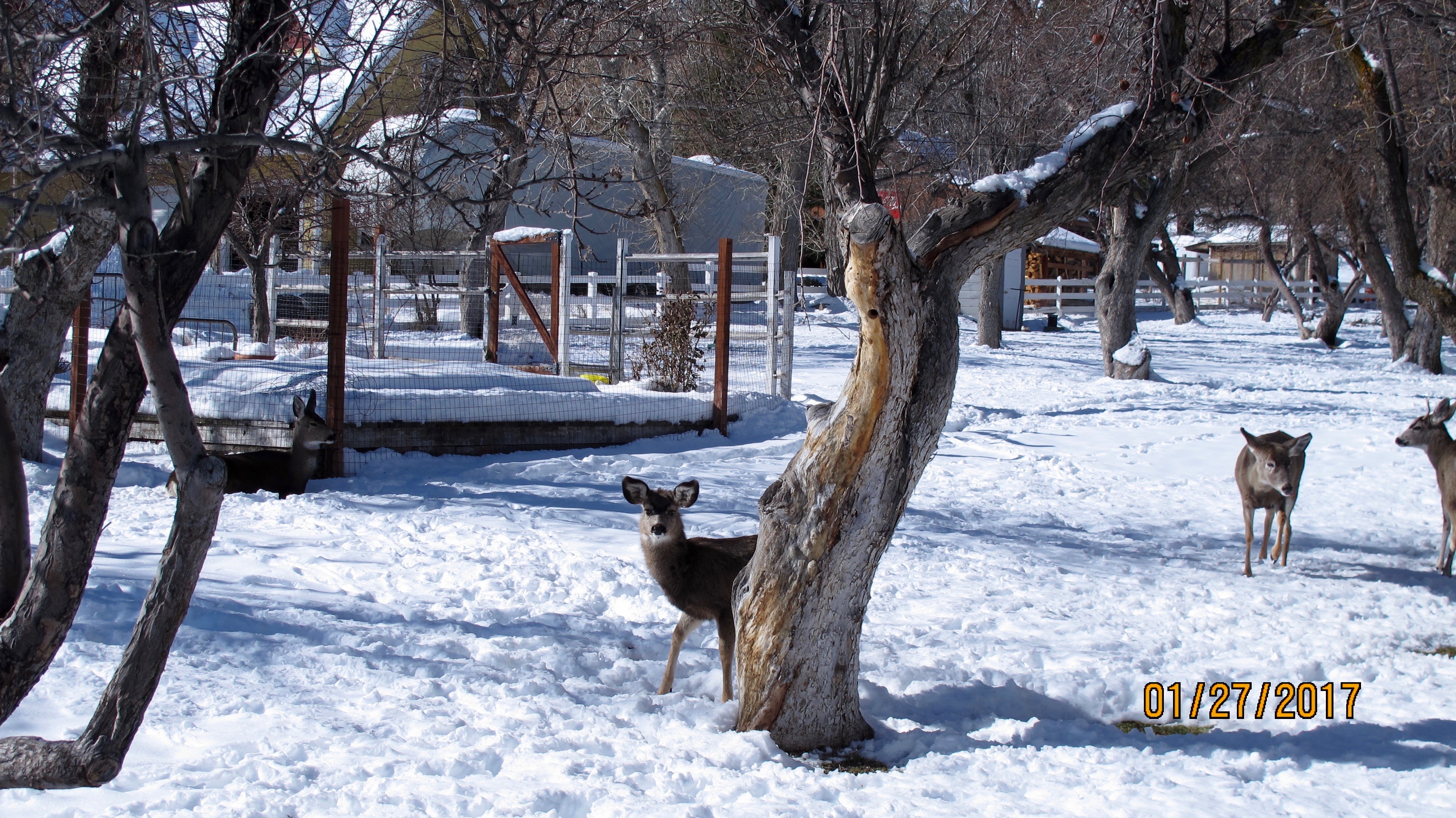
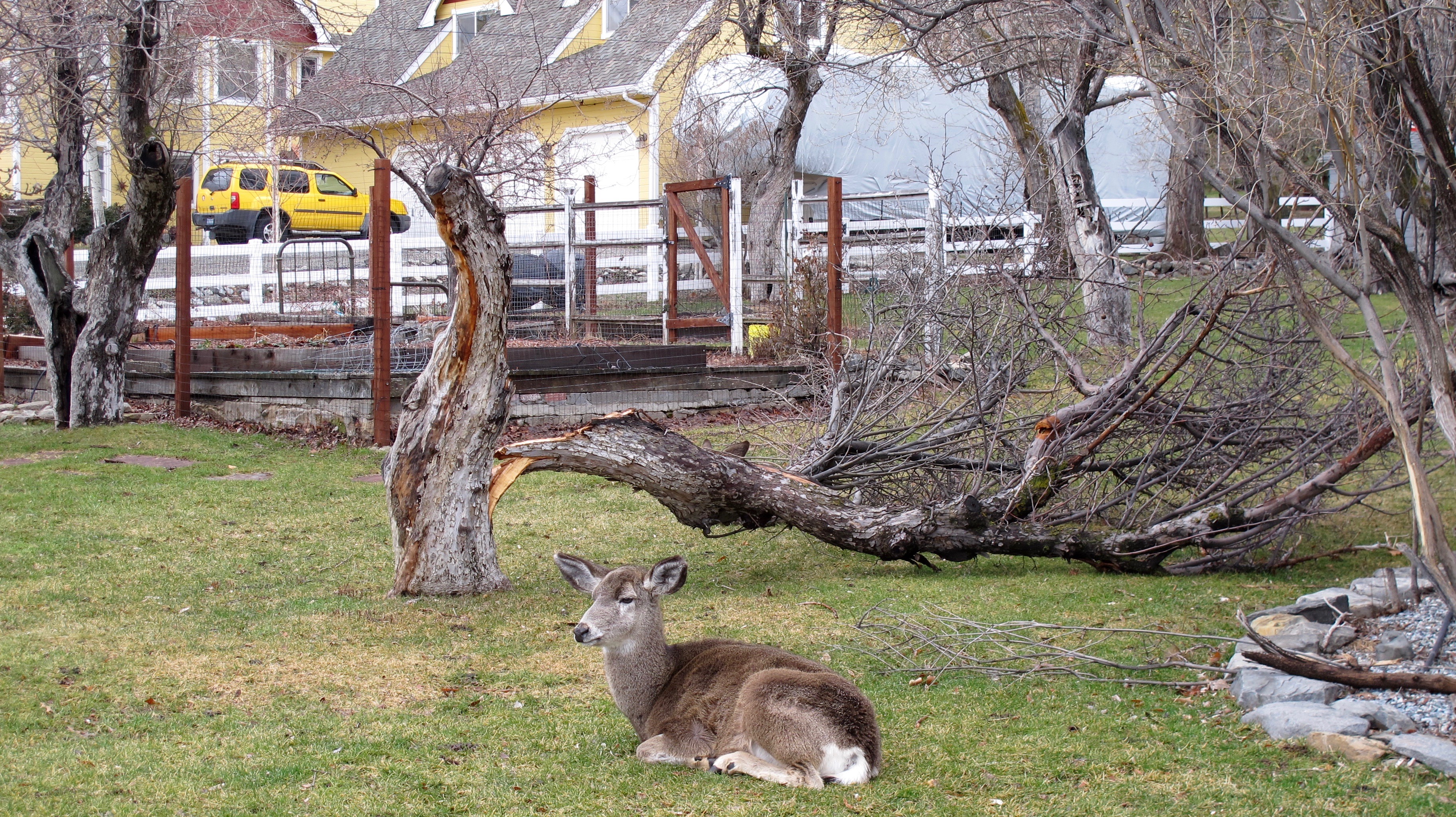
The same tree after our 80 mph winds. You can see this yard is a favorite of the Genoa deer

The same tree after our 80 mph winds. This yard is a favorite of the Genoa deer

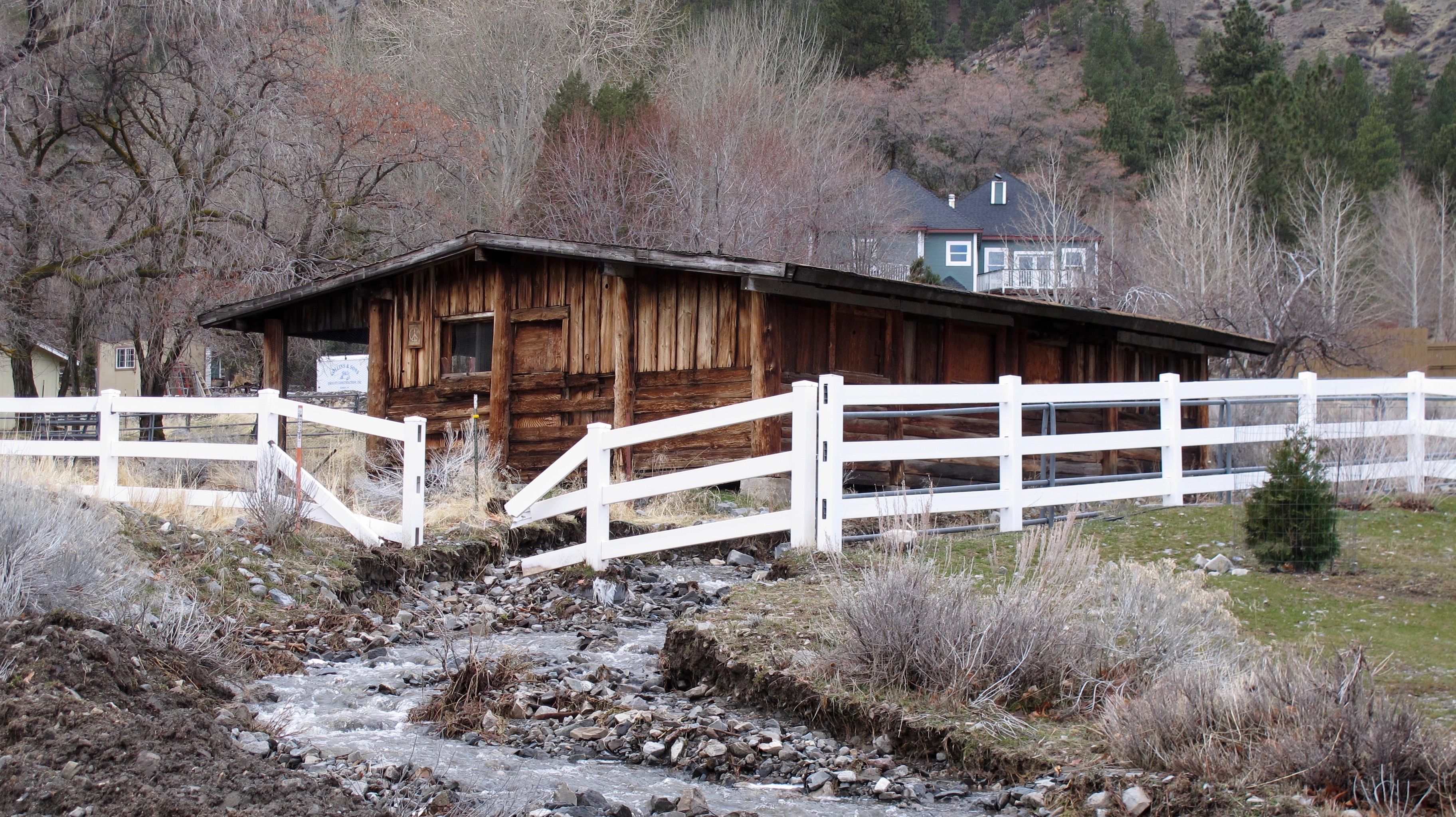
A broken fence might be the least of the owner’s problems here.

A broken fence might be the least of the owner’s problems here.

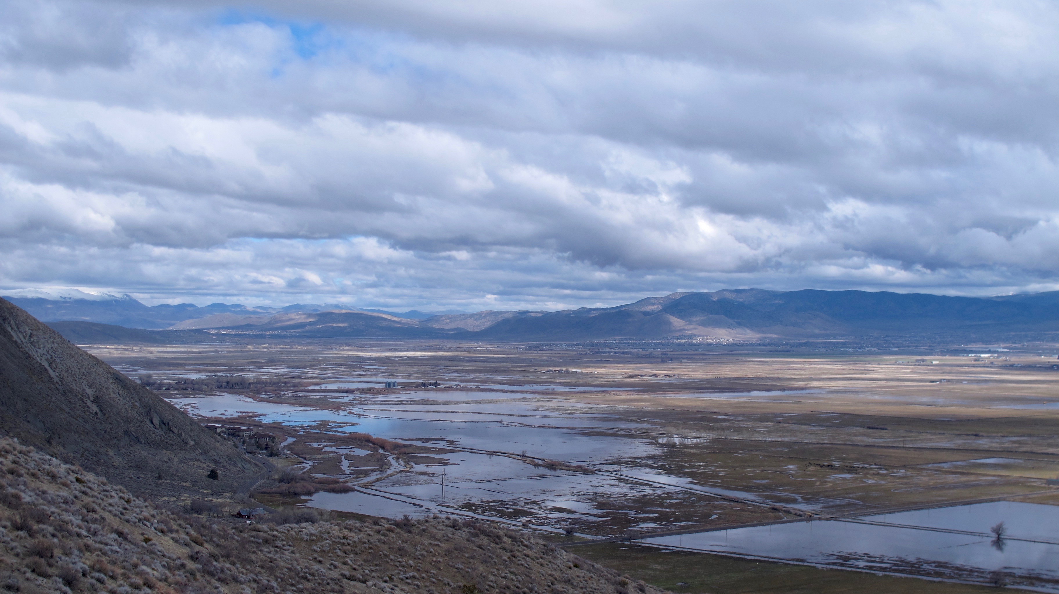
Looking north from Kingsbury Grade. Wally's Hot Springs is the buildings at the bottom left

Looking north from Kingsbury Grade. Wally’s Hot Springs is the enclave at the bottom left that sort of juts out near the water. The Settlemeyer silos are also in this picture.

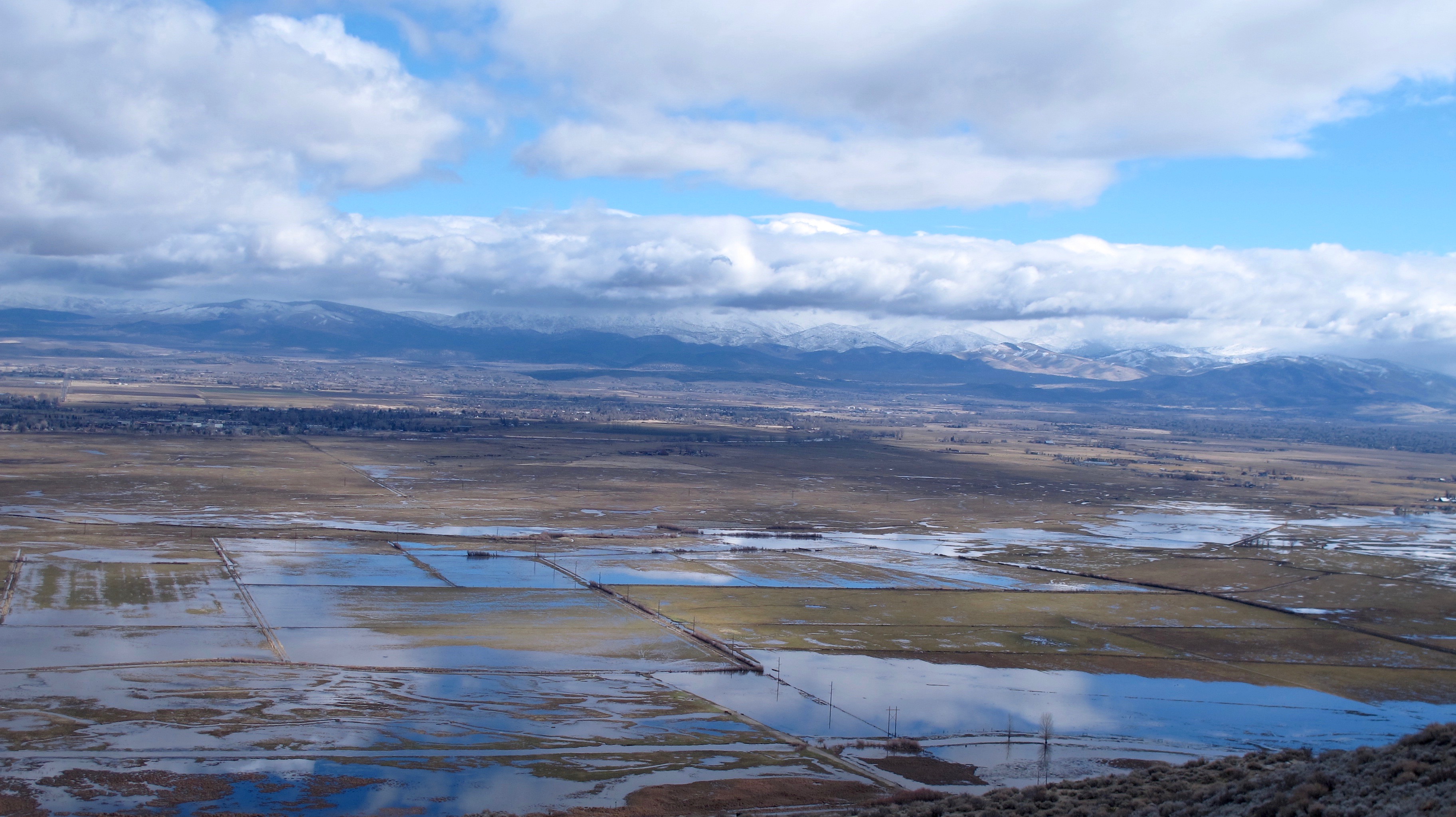
Looking southeast from Kingsbury Grade

Looking southeast from Kingsbury Grade. Most of the flooding is between the Sierra Mountains to the west and Highway 395 on the eastern side.

flood by Stephanie

This giant pond is in open range country right next to Stephanie Way, one of the main roads into what is called the Johnson Lane area. This area has been flooded since Christmas. At one time, the ice was so thick, I think we could have skated on it. All we needed was a Zamboni to get it ready for us! My house is about a half mile to the left.

You may be asking why is there so much flooding.  One factor is that the East and West Forks of the Carson River merge near where you see most of the water. Warm rains that arrive one after another cause excessive snow melt that runs off into already saturated ground. The rains have come so often that we didn’t have a chance to dry out enough to allow more saturation. A hydraulic engineer can name many more factors, but these give you an idea. I have to give credit to Douglas County for having worked on flood prevention for times such as these. They were quite unprepared for the 1997 flood and this time, they have been able to stave off terrible loss around the county by stationing resources in critical areas. Yes, there has been expensive damage, but without their plans, better weather prediction technology and residents who have tried to prepare for floods, I do believe it would have been a lot worse.

I think one of the positive aspects of all this water, which, by the way, has helped our drought situation, is that we might have a gorgeous display of wildflowers this spring.